ORH_wxman
-
Posts
93,092 -
Joined
-
Last visited
Content Type
Profiles
Blogs
Forums
American Weather
Media Demo
Store
Gallery
Everything posted by ORH_wxman
-
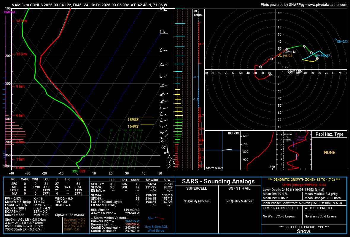
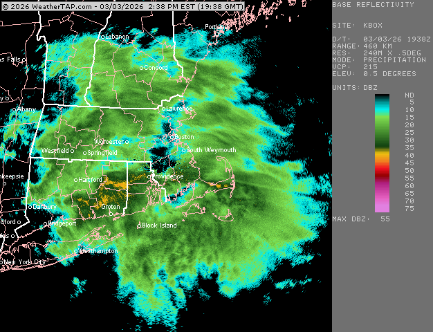
3k NAM near BOS. Mini snow bomb? Lol

-
Yeah it’s gonna take a beating this weekend and early next week. Esp if overnight mins are coming in solidly above freezing. I feel like the damage will be relatively minor until after Friday system passes. Maybe tomorrow gives it a bit of a hit if we can get enough sun and 50s.
-
Is 51 vs 46 really that different? If there’s enough sun and some mixing I bet we’ll spike 50 but if we hang onto low clouds longer and mixing is crap, it could get stuck at like 40-42F in places.
-
Depends on mixing. Ironically a place like BDL is more likely to be stuck in the upper 30s or low 40s than Tolland. There could actually be a mild sea breeze too so Scooter might get shot back into the 30s if that occurs.
-
Account from yore in a 12/16/07 event back then: ”We endured 4 hours of blinding snow in the northeast gale. Up to thy knickers by the finis. The courier was dumbfounded to find a snow tempest in Plymouth MA after riding through heavy ice in Tolland CT.”
-
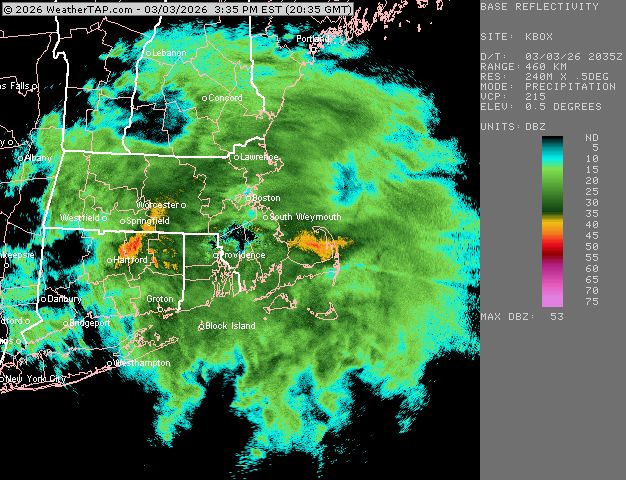
Looks like pingers about to RT 2 in ORH County and N of the RT 2 further east. About to Lowell now. That was a good event though for Rt 2 and northward....even here overperformed my own expectations.
-
Radar looks good for you and Ray’s area for the next couple hours before you flip. Easily should reach advisory snow totals.
-
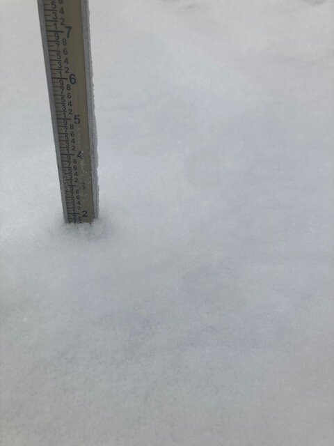
Getting pingers now. 1.7” final snow before the flip.
-
Trying to make a run at 2” anyway, won’t quite make it, but for basically 75 minutes of snow, that is solid
-
Ok right on queue…parachutes increasing in size.
-
Just took this…def some aggies in there but it’s not the classic silver dollar parachutes right before you flip I’m sure those are coming soon
-
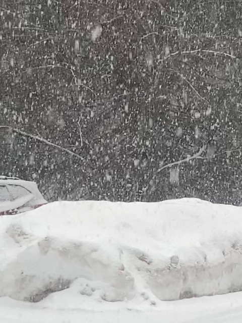
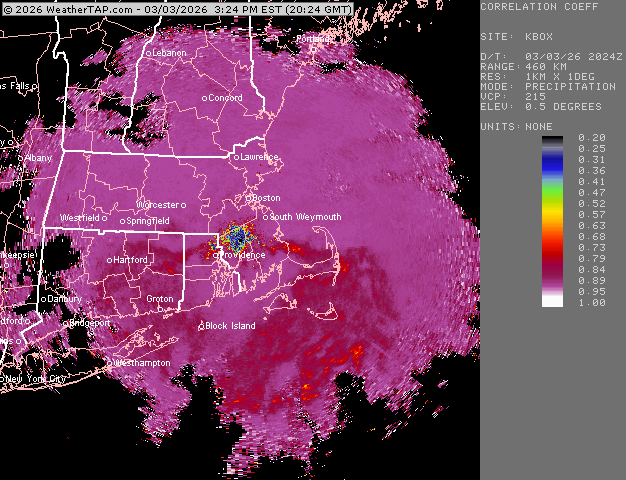
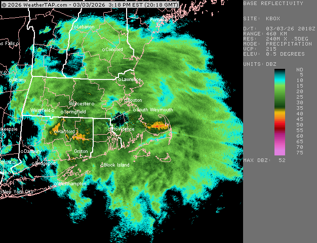
Looks like we’re maxing out now on the rates. Heavy snow and 28.7F Those yellow echoes from BOS to my hood are all snow right now
-
Too bad we missed a lot of the stuff between 1-330pm. Otherwise we maybe could pull out 2”. But these rates right now are a good consolation. We live for the rates.
-
Wonder if you’ll flip back for a bit when the best echoes come back in soon.
-
Absolutely pounding right now. Closing in on an inch.
-
Sleet line
-
Absolutely nuking right now CC has the IP line down near MA/CT border right now. We aren’t getting huge aggies here yet. More like dime-sized
-
must be silver dollars falling near ORH.
-
Man, this is the type of stuff that would give us a quick 6” in 4 hours if we stayed all snow. Good ratios and growth right now with temps in upper 20s.
-
My 1/2 mile reference marker finally got obscured. We pound. Let see if we can pick up a quick 1-2” in this batch before the pingers
-
Not even sure we get a half inch of QPF. We might but the accretion on limbs will be roughly 40% of that if it’s pure ZR….less if you are mixing with IP for a while.
-
Been mostly in a screw zone so far here. A coating when we ripped for a brief time. Looks like it’s about to pick up though and maybe we pound for an hour or two
-
Depends on how you define “delivers”…I’m pretty confident will see some accumulating snow out of that pattern but it could be pennies and nickels or a few hours of a front-ender. If we can get a western ridge to spike, then we’ll have a really good shot at another larger event…but way too far out at this point.
-
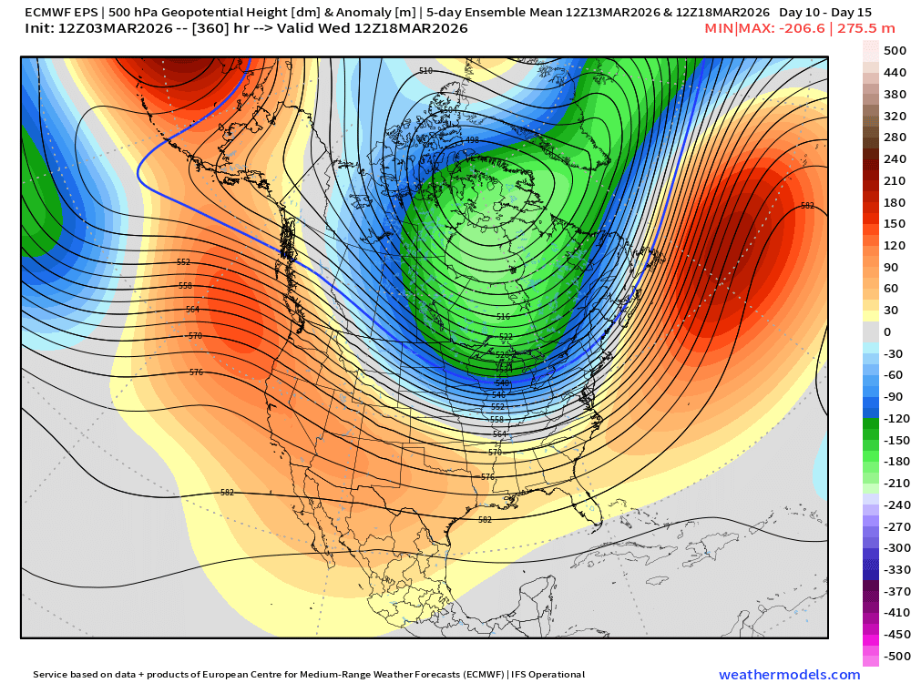
Still a pretty interesting look near and just after mid-month....this is a 5-day mean H5 pattern
-
none of the 25-50 should get into metrowest/495 either…that’s woefully low for that area. Problem is we have a lack of good coops in that region…the little we do have are grossly under measured so it can produce spurious zones like that when we graph averages.