

ORH_wxman
-
Posts
90,902 -
Joined
-
Last visited
Content Type
Profiles
Blogs
Forums
American Weather
Media Demo
Store
Gallery
Everything posted by ORH_wxman
-
34F and rain. I went outside and almost killed myself on the driveway….not much melting going on. Was hoping to get rid of the rest of the driveway glacier but I guess not.
-
Yeah my area to ORH was above average last year. I had like 70”…ORH had 77”. They got nearly 10” in the 12/5 event when I got 4” which was the difference in our season…though even my 4” was pretty good in that one as most of the areas east of me got 1-2” of slop. It should be noted that ORH is running way below average this season. They got less than you did in the 1/29 event.
-
It’s probably struggling with the tropical forcing for sure. Typically when LR models are way off, I’ve often noticed them trying to go with some big tropical forcing and then it just ends up weaker than they thought and other factors override it. I wonder if the euro is trying to push the forcing into unfavorable areas but keeps getting rejected by reality….I haven’t looked super close at the MJO/convection progs in the last week but I do know that the GEFS and EPS were differing there.
-
I’m not sure I’ve seen them so bad before as they have been this winter. They weren’t great last winter either but they had their moments…esp with the January NAO blocking…but this year has been an utter tire fire. Kevin Martin’s chemtrail analysis would have probably been more accurate than the weeklies this year.
-
I don’t think the weeklies have any 12z ingest, do they? They always show up as “00z” for initialization. But I’m not 100% on the inner workings of the weeklies.
-
Still trying to torch a little at the end of the run but it caved pretty bad before that in the D10-12 range. You can even see the higher heights up there on the d15 prog despite it trying to show milder.
-
Maybe next week is the one....currently wide right miss....start backing it up slowly over the next 2-3 cycles...then all of the sudden it shows a region-wide crushing at D3-4 and everyone gets excited and you have a meltdown about a dendrite to Berkshires jackpot when the 78 hour NAM dryslots you with the low over PYM, and then it starts to leak east again inside of 60 hours leaving Scooter to Taunton in the bullseye. Maybe tonight, I'll have a more detailed description of the sequence of events so you have something to look forward to.
-
We can probably muster up another 20 burger for SE MA before 3/15. Plenty of time.
-
Getting its ass kicked by the GEFS for most of this winter...at least since late December
-
Last time the long range showed that on the Euro, it turned into a sleet event. (2/4)
-
Yeah hopefully next run is even further out to sea....we want this over the Azores by 48 hours out if we are hoping for a big hit.
-
Euro not playing ball at 12z.
-
This is the type of shit system we’d get in 2001-2002…I remember complaining to my roommates how every system had a low sitting up in Montreal so even a decent sfc track didn’t have much precip and what precip that did fall ended up mostly rain.
-
The WAR is pretty stout this time around too so this could get pushed back west over time. We’ve seen that happen in the past when you have a strong WAR.
-
12z Ukie looks like it’s setting up for something interesting at 144. GGEM had the storm but well offshore. Couldn’t sync up the northern and so it been stream quite well enough. GEfS has a few rogue members that look good otherwise the GFS suite wasn’t interested. But if Euro and EPS come in decent, then I’ll start getting a bit more interested. There’s some larger scale features that do support a system (namely the amplified western ridge.)
-
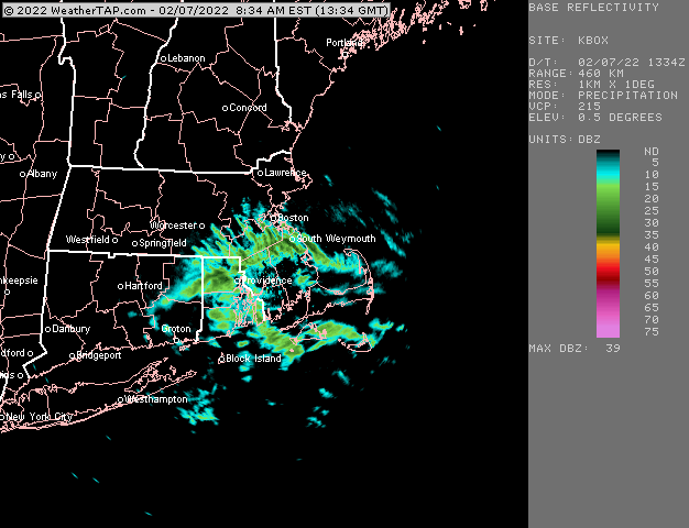
31F and overcast....too bad we couldn't get some of those better echoes form RI up here earlier as we had some good snow growth. Now we get 33-34F and rain later it looks like.
-
Good fatties falling again here. Best echoes are stubbornly staying south though.
-
Getting good snow growth now as echoes move in. Everything covered.
-
I’d like to see some non-euro guidance show this system today. Even the EPS was like warm as Scott said so we need to increase support. There’s a decent western ridge so it has some larger scale support but that in itself isn’t going to make the storm happen.
-
Nothing on radar yet here but light snow grains falling here the past 10-15 min. Must all be below the beam.
-
Euro still not really interested for SNE outside of NW MA. It starts as a little snow from interior CT around Kevin up to 495/ORH but not much. Maybe a coating. Very good run for the IZG corridor over to Phin and over to Tamarack’s hood…like 5-10” there.
-
I will say that the GEFS defeated the EPS for early February. Doesn’t mean they will win this time but the EPS kept trying to torch us in early February for awhile until they finally caved.
-
Quite the model war for the long range. GEFS are still very meridional and cold into 2nd half of February while EPS torches us.
-
Rgem has been cooling (and some other guidance too). The 18z run has a sustained period of snow tomorrow morning/midday for most of interior SNE. It’s not much but 1-2” wouldn’t be shocking.
-
That is horrendous for there. How much did you get in 2015-16? That was another historically bad year in NW MA.


