

ORH_wxman
-
Posts
90,902 -
Joined
-
Last visited
Content Type
Profiles
Blogs
Forums
American Weather
Media Demo
Store
Gallery
Everything posted by ORH_wxman
-
Glad we don't live there...
-
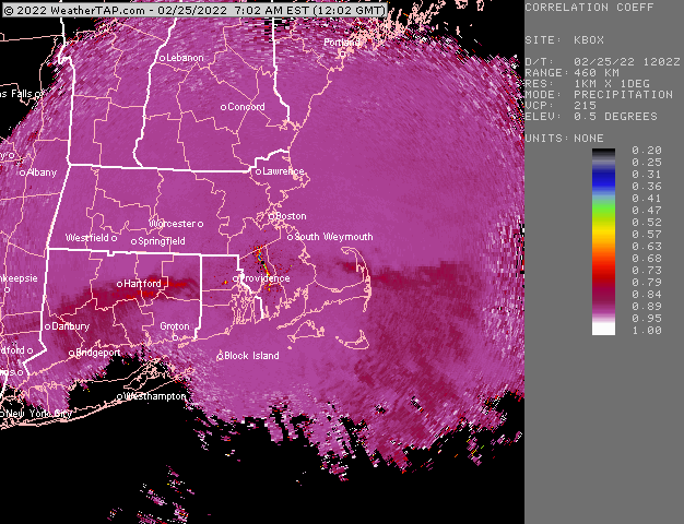
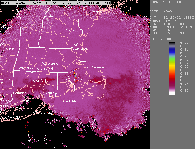
Sleet straddling the southern MA border right now:
-
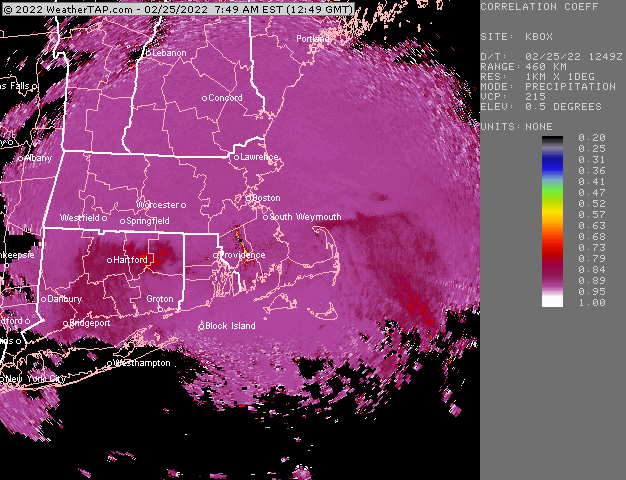
Absolute crushing right now Looks like sleet line is near MA/CT border but bends further south in RI and SE MA
-
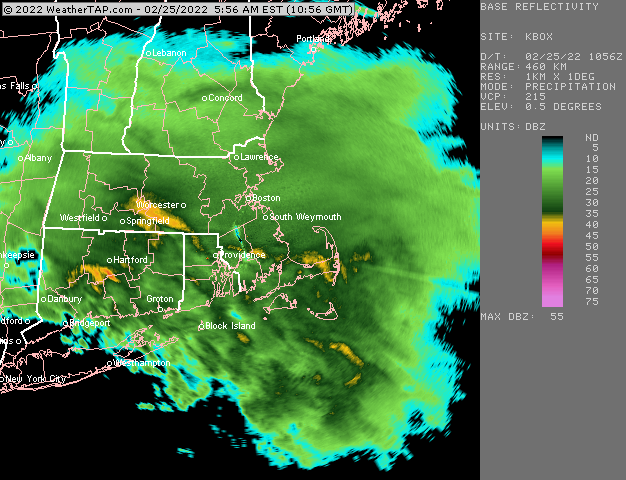
Bent back WF FTW here right now. This is really heavy stuff. Prob 2” per hour.
-
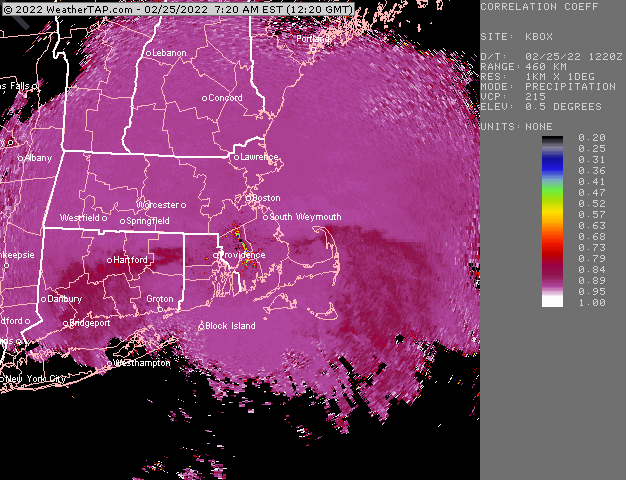
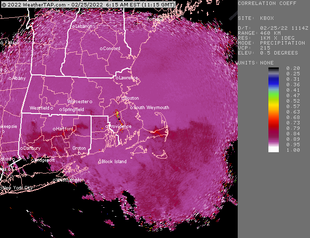
Sleet making a bit more of a push now further west near BDL
-
Yeah probably huge aggies.
-
Compromise was the way to go. RGEM’s last few runs actually might end up close. It had a very strong gradient near the MA/CT border.
-

-
He bought ginxy’s old camera at a garage sale.
-
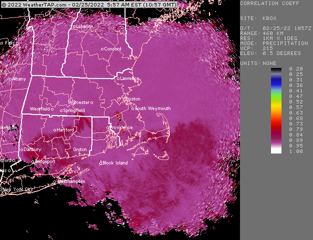
Eyeballing 5” or so. But haven’t measured yet. Getting absolutely crushed right now. Very low vis. Prob 1/8 to 1/16 mile. It’s interesting that the sleet line is actually a bit south of the initial yellow echoes
-
Sleet line is kind of stalled right now. Latest HRRR actually only brings it up to about the southern MA border between now and 15z.
-
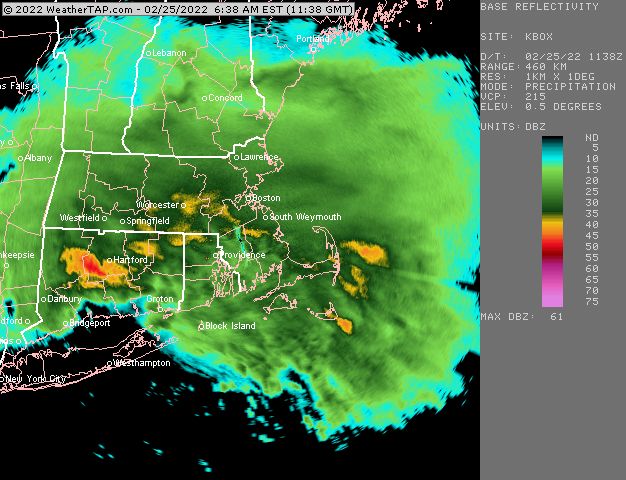
Snow growth here is actually pretty awesome.
-
Absolutely ripping here Sleet line currently from about Kevin to Taunton
-
Mar 3 is a threat. Doesn’t look huge right now but it wouldn’t take a huge change to turn that more from a clipper into a Miller B. Dont sell Mar 1 either.
-
Winter storm for the 25th of February is imminent.
ORH_wxman replied to Typhoon Tip's topic in New England
Pretty confident BOS-ORH see solid warning snow....they should rip north of the 850 WF early tomorrow....prob several hours of 1-2" per hour stuff. Main question for them in my mind is can they get 10-12" or is it more like 7-8". HFD-PVD-TAN is a much tougher call...they could get a lot of IP during the heaviest stuff, but if it can stay snow for a couple extra hours during it, that could add 3 or 4 inches to the total. -
Winter storm for the 25th of February is imminent.
ORH_wxman replied to Typhoon Tip's topic in New England
I'm not disputing your forecast....I think you may get warning snows....I was just curious why you all of the sudden do not think the NAM is valid there....esp since for CT, it has a little more support now. Sounds like you answered the question already, but aside from being out of the RAP range, those things were all true yesterday and the day before too. -
Winter storm for the 25th of February is imminent.
ORH_wxman replied to Typhoon Tip's topic in New England
Nope....where did I pimp it? Link me the post. However, for your 'hood, RGEM and now the 18z GFS are not giving you warning snows (well 18z GFS is really close, you're on the line). So it's not just the NAM there. -
Winter storm for the 25th of February is imminent.
ORH_wxman replied to Typhoon Tip's topic in New England
You definitely tossed the NAM this storm after pimping it for the last 2 days. -
Winter storm for the 25th of February is imminent.
ORH_wxman replied to Typhoon Tip's topic in New England
19z HRRR is going colder than 18z too...not an easy forecast down there. -
Winter storm for the 25th of February is imminent.
ORH_wxman replied to Typhoon Tip's topic in New England
The mesos look like they try and temporarily stall the sleet line just south of the pike or near the RI/MA border for a couple hours near 14z-15z. If that happens, that's how we'd pick up the 8-12" amounts I think...versus more like 6-8". -
Winter storm for the 25th of February is imminent.
ORH_wxman replied to Typhoon Tip's topic in New England
Here's 15z tomorrow....when you see those wind flags going from 60 knots (even 70 shows up there) out of the SSW and turning to 20 knots out of the SE like that over BOS....that's what we mean by a "bent back WF" in the midlevels. You usually want to see that to get 1-2" per hour on the front end thumps.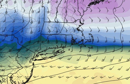
-
Winter storm for the 25th of February is imminent.
ORH_wxman replied to Typhoon Tip's topic in New England
60 knots about to slam into the south coast.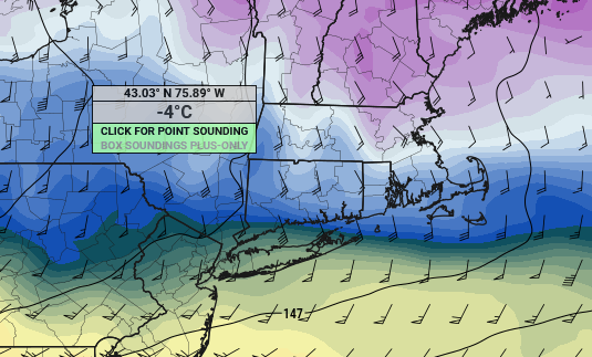
-
Winter storm for the 25th of February is imminent.
ORH_wxman replied to Typhoon Tip's topic in New England
18z tickled a little colder...starting to narrow the goal posts a bit more. -
Winter storm for the 25th of February is imminent.
ORH_wxman replied to Typhoon Tip's topic in New England
18z HRRR coming in a tick colder through 12h. Would help out the S CT peeps. -
Winter storm for the 25th of February is imminent.
ORH_wxman replied to Typhoon Tip's topic in New England
Yeah I could see the Euro solution verifying with just one more tick north....Euro still has warning snows from HFD to PVD and my guess is that nudges just a bit more north.


