ORH_wxman
-
Posts
90,892 -
Joined
-
Last visited
Content Type
Profiles
Blogs
Forums
American Weather
Media Demo
Store
Gallery
Everything posted by ORH_wxman
-
Is there a reason they are running the NAM on an IBM 486SX CD ROM computer today?
-
Lol....good timing
-
Even though it looks great at the sfc there, gotta remember that a lot of these are still bringing in some milder air from the east just off the deck up to around 900mb. We'll want to see that trend continue to wane...that's what I'll be looking for today.
-
Don't sweat it dude...we get it......we'll just play dice with your balls after your wife mails them in an envelope to Funky Murphy's.
-
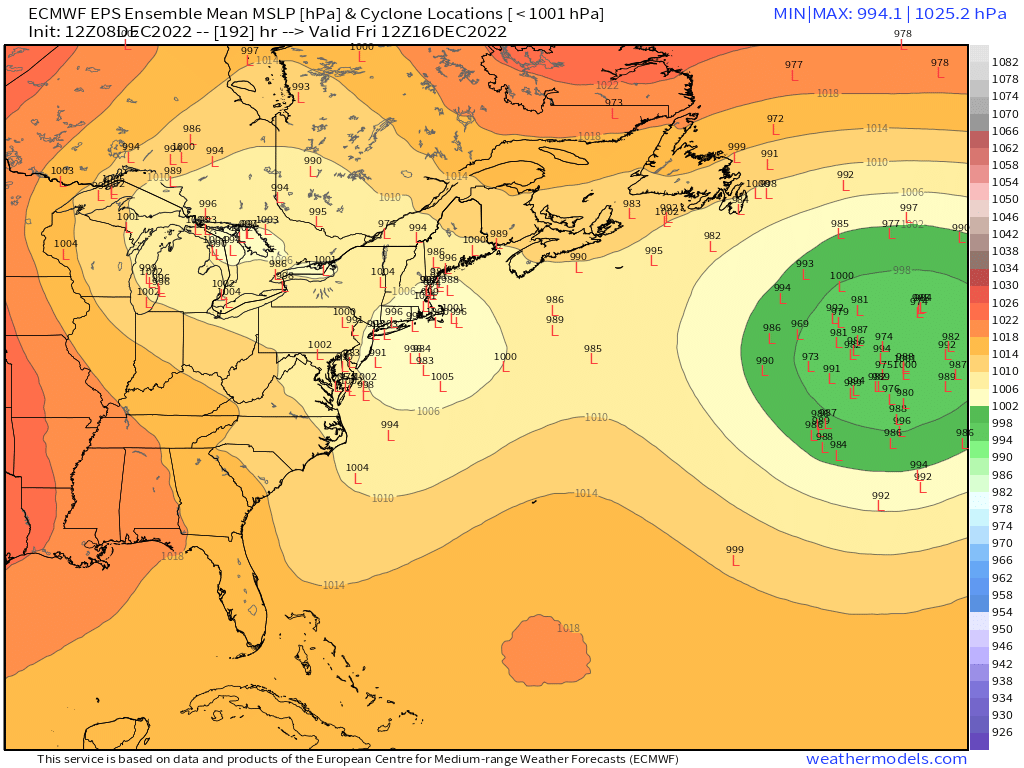
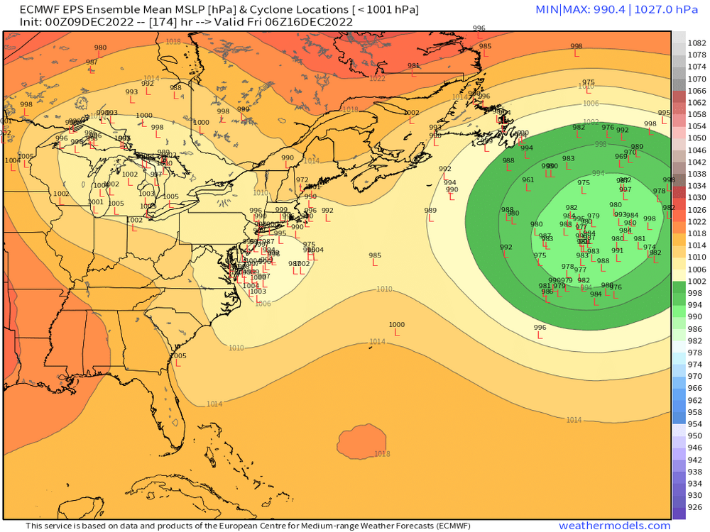
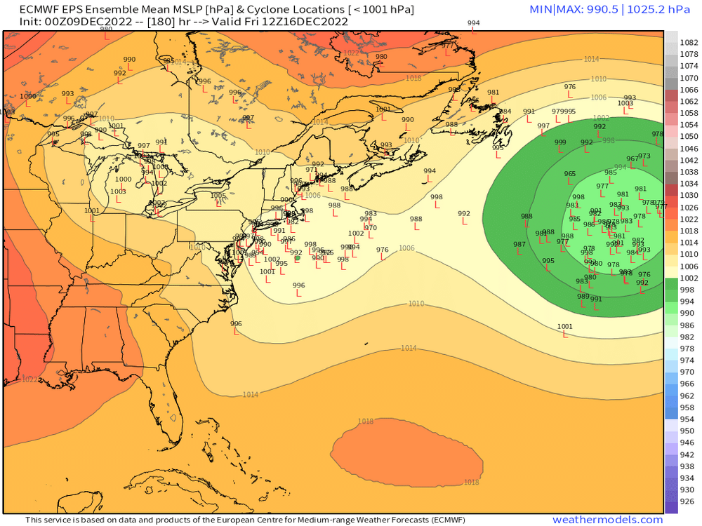
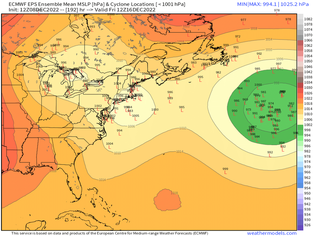
The trends def continue overnight for 12/16. Obviously 06z GFS was a full-on blizzard for a chunk of the forum. Euro was a big hit for NNE/CNE but even interior SNE gets in on some of it…esp N of pike. Ensemble members continue to trend faster and S with redevelopment too.
-
Low levels are torched too when you have a low ripping into SE NY. Need this to not get yanked back to the west like that.
-
Still too tucked for a lot of snow but closer.
-
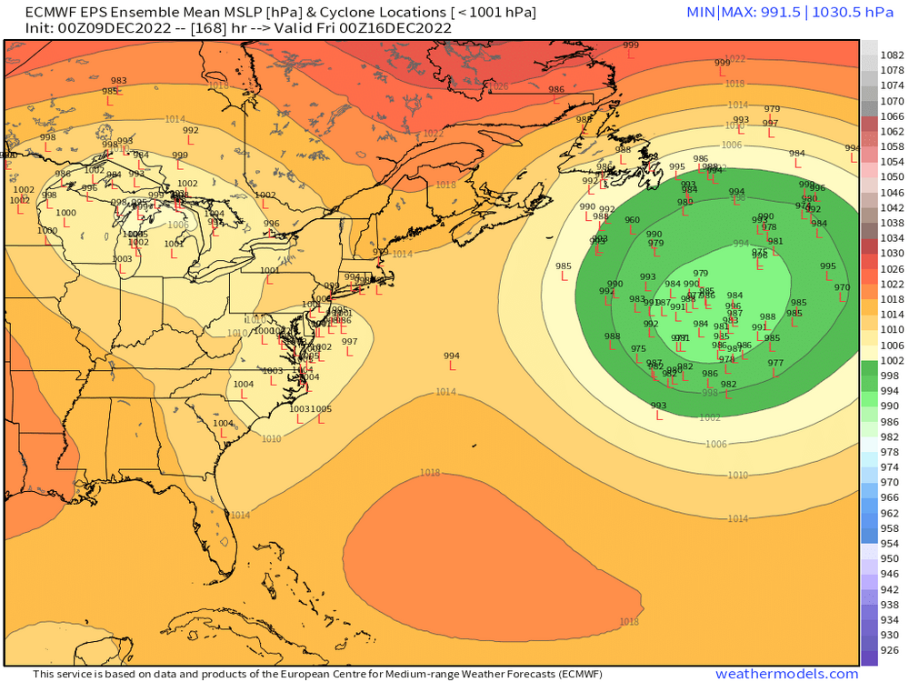
Def looking snowier this run for 12/16
-
There's a lot of disturbing behavior on here.
-
18z icon also juiced up a bit for Sunday night/Monday.
-
Rgem looked pretty beefy. That would prob be a solid 2-4” for much of SNE. Maybe some higher lollis. Still have a little ways before we figure it out.
-
NAM has prob been the stingiest on this threat. Still out of its wheelhouse but it’s been crunching this system a bit. But plenty of time to amp it up a little more.
-
Shortwave is strong on NAM but confluence also looks stronger.
-
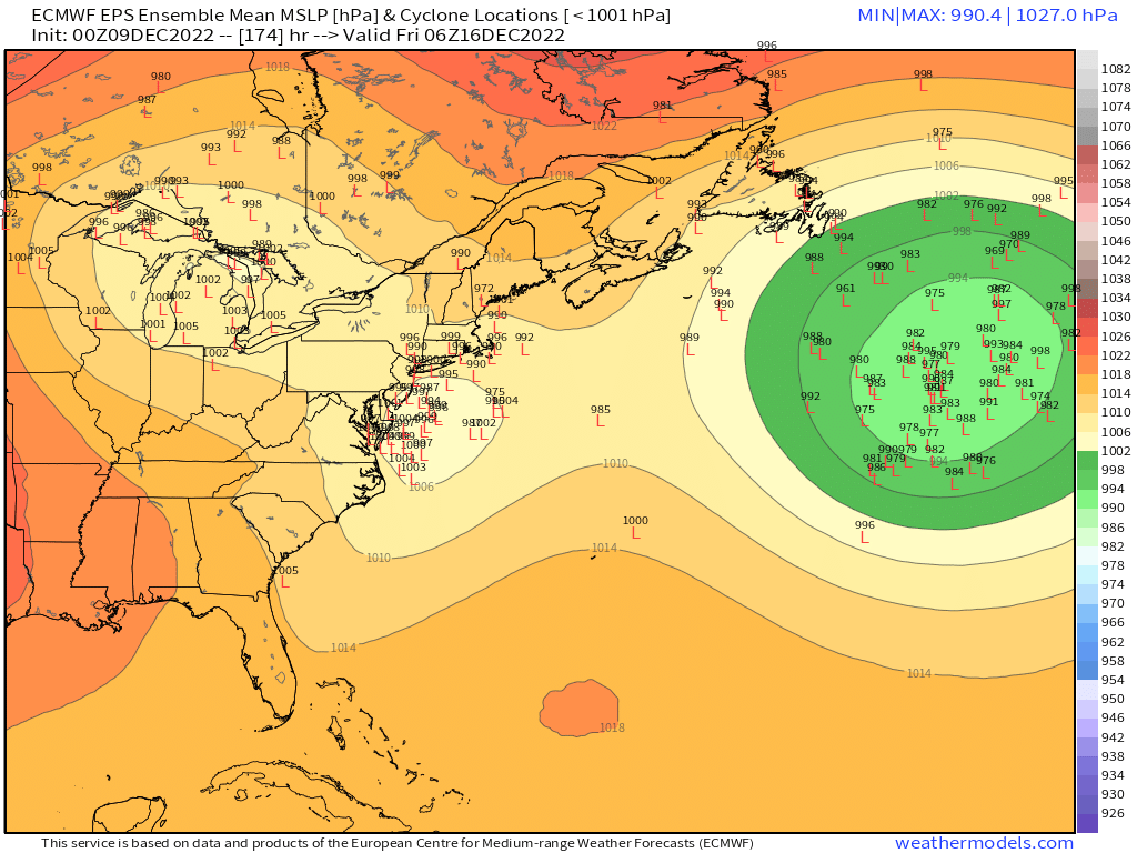
EPS on 12/16 looks pretty good....a lot of members SE of the OP
-
OK starting to come in....first one after the control run was pretty fun
-
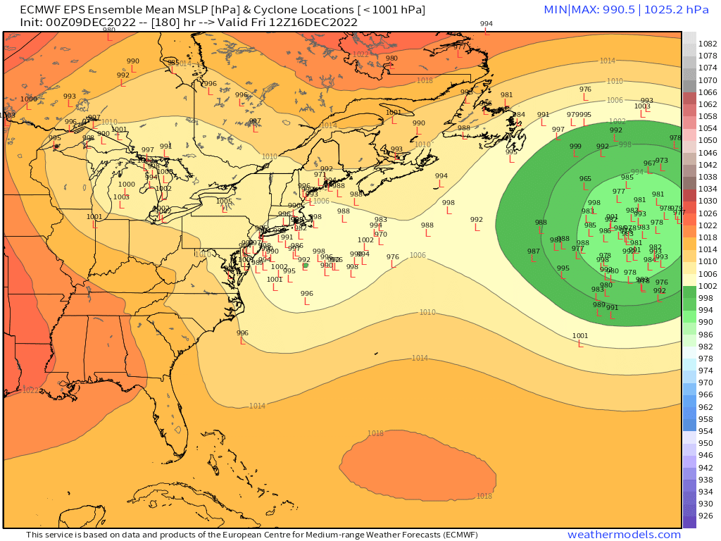
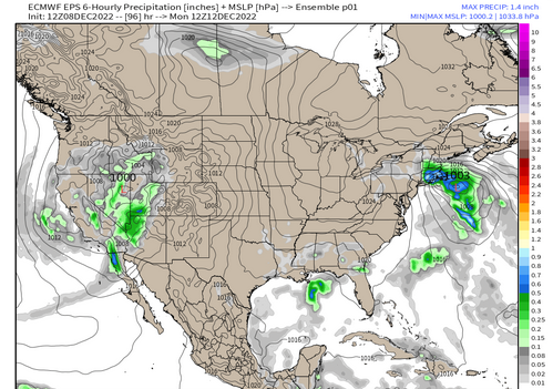
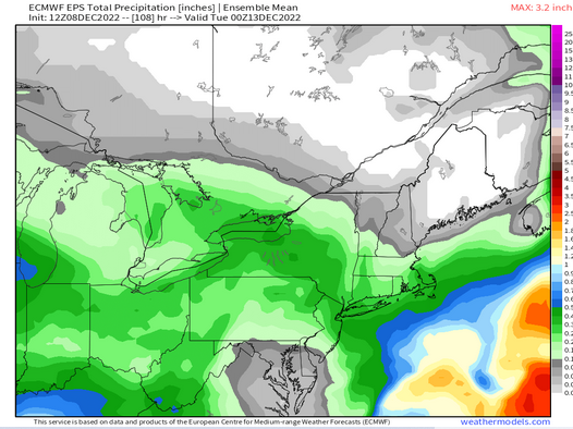
Don't have individual members yet, but that's a decent QPF mean.
-
Once the models "See" the airmass better as we get closer, I'm sure we can finagle a Dec '92 type gradient over E MA.
-
Not on this run I don't think...still looks a bit tucky for my liking....but we're still trending with miles to go.
-
Yes. I don't trust model guidance to handle this blocking well. We did mention that many times going back. I know you did. It's probably going to change again.
-
I'll prob there early grabbing lunch....we're taking the kids out Saturday morning to Hudson/Marlborough area but then I'll head over after that which puts me there prob around 1230.
-
Advecting -15C 850s into BOS by Tuesday night
-
It might...but sometimes it will focus into a fairly narrow band....hence the NORLUN idea. But we won't know much about that potential until the event is really close. It could still trend more like the GFS and be more of a legit coastal. But my money is on the light snow with maybe a little bit of hangback in spots.
-
That blocking is crazy looking. We'd be having flocks of Amazon Parrots ripping into our backyards late next week if it weren't for that.
-
This is the type of setup you have to watch for an IVT/Norlun type band that hangs back after the main band of SN- moves through....you can see the isobars inverting back into SNE while at the same time you have very low H5 heights moving overhead to provide the instability.
-
Gotta watch for some embedded bands too...the profile is kind of unstable under the shortwave. Very steep lapse rates above 800-850.