ORH_wxman
-
Posts
90,892 -
Joined
-
Last visited
Content Type
Profiles
Blogs
Forums
American Weather
Media Demo
Store
Gallery
Everything posted by ORH_wxman
-
SSW is prob the best path to salvaging a big winter if it’s going to happen. Typically Feb/Mar climo isn’t so kind in Ninas but as we saw in ‘00-01, ‘17-18 or ‘55-56, big blocking in latter stages of La Niña winters can do very big damage. It would help if we could rock for a couple weeks in January too.
-
At least there’s some clear light at end of tunnel. Gonna be a torch 10 days though between 12/29 and 1/7ish.
-
I grew up learning to ski in dogshit….1990-1991, 1991-1992 were my first two winters where I learned to ski and skied a lot. Someone can go look up those winter but the spoiler alert is they sucked giant donkey balls with tons of cutters. I assumed it was normal back then as I didn’t know any better. But you are correct at how good they are at fixing those groomers. Even back then. Yeah, we couldn’t go on the natural snow moguls all the time but the groomers were often great even the day after a cutter. At any rate though, NNE could get buried before the 19th.
-
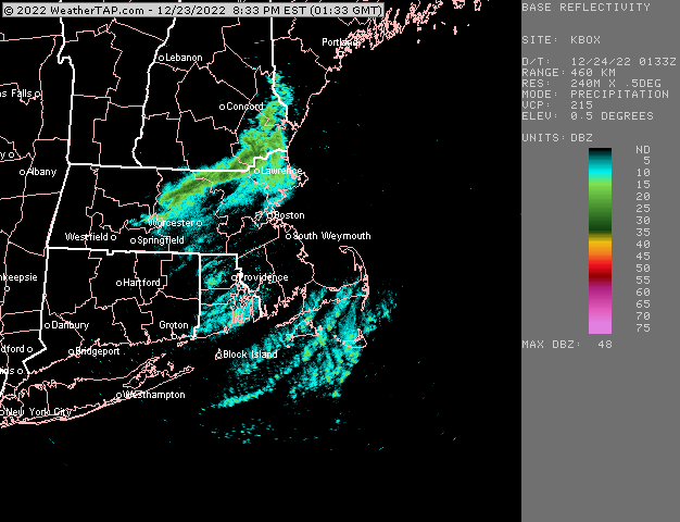
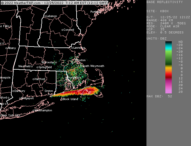
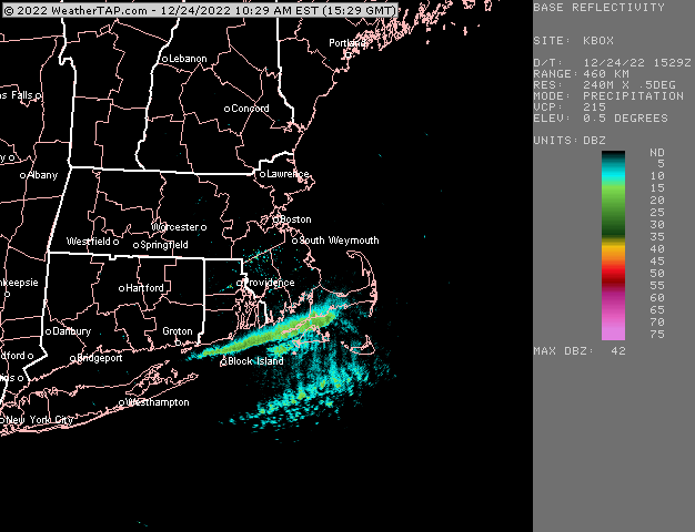
Yarmouth a little while ago
-
I haven’t seen any reports recently but last night I saw parts of MVY had 8-9” already. Someone there prob has double digits of fluff by now. The band has lifted mostly north of them this morning so I’d be surprised if anyone got more than 10-12”.
-
Yeah starting to slowly get better looks on the ensembles near the end. But we’re gonna have an ugly 7-10 days before that between 12/28-1/6 or so.
-
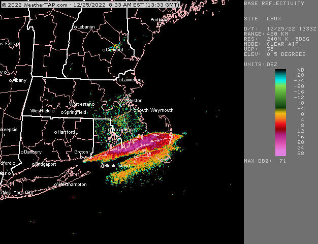
That looks nice for the Cape incoming
-
Yeah someone is getting double digits on MVY. That streamer just nailing them and those are fluffy 20 to 1 flakes Id bet
-
Northern part of Falmouth up to Bourne and Sandwich getting it pretty good.
-
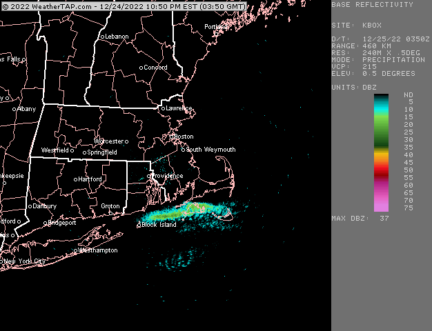
Yep. That’s why NNE winds aren’t bad either…they can use the shoreline as a bit of a way to converge bands toward the PYM area. Or even NNW can sometimes sort of converge on the outer Cape using the bay side shoreline as a way to organize them a bit more. But neither are as efficient as LI sound where you have shoreline on both sides…like in LES. Pretty cool seeing it today.
-
Next and into early January looks pretty ugly. We’ll see as we get closer if it ends up being more like 30s/40s for resorts vs 50s but not looking good after 12/28 for probably at least a week.
-
Yeah there’s really no way to tell without doing a deep analysis and unfortunately the coop data from the Cape isn’t that great. My guess is somewhere has gotten a foot before at some point but it probably wasn’t recorded at an official site. Hard to get much more than that unless everything was ridiculously perfect for days. We know there been 24”+ events when you include NORLUN events there that were enhanced by OES…but pure OES is a much tougher thing.
-
Yeah we were discussing in the storm thread before it happened that as we got closer, it was clear that it wouldn’t be a pack destroyer for the ski resorts. It was nothing like the 2020 destroyer.
-
Looks like it’s clipping S RI beaches too
-
Nice streamer right into your hood
-
Steamer is lifting north into the cape right now
-
Where were you living during that? ASH area? They had around 20” there down to Tip’s area in Ayer/Bolton/. We had a little less in ORH at 18” but still ridiculous. The moment i felt a huge bust is when all that yellow and Orange on radar reached us and it wasn’t sleet. BDL had been reporting sleet the prior hour. I assumed the entire time we were about to flip to sleet as it got closer and closer and being happy that we already “banked” like 4-5” for a white Xmas but then it just went insane. 5-6” per hour for prob 90 minute period and then 3” per hour for another hour on the backside of that.
-
Yeah I’m somewhat optimistic looking at the N PAC near end of ensembles. I won’t be expecting flipping to deep winter around here though very quickly. Canada is still pretty warm when we start rebuilding the western ridge so we’ll be dealing with some marginal airmasses most likely initially. But early to mid January isn’t the worst time to try and deal with more modified polar airmasses.
-
Yeah double edged sword when discussing LES and climate warming. You keep lake erie unfrozen more often but you also have fewer arctic airmasses.
-
That is partly the reason the AK pig is transient. Tropical forcing will be somewhat favorable heading into the post-Jan 5th period.
-
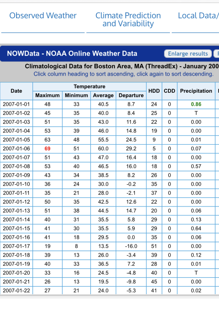
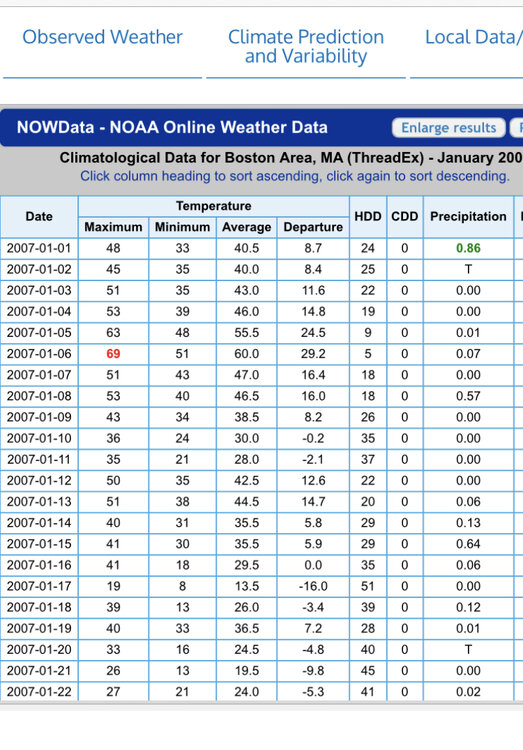
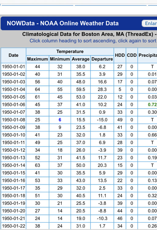
Here’s the top two warmest for BOS in the first week
-
Gonna be pretty hard to beat out 2007 for the first week.
-
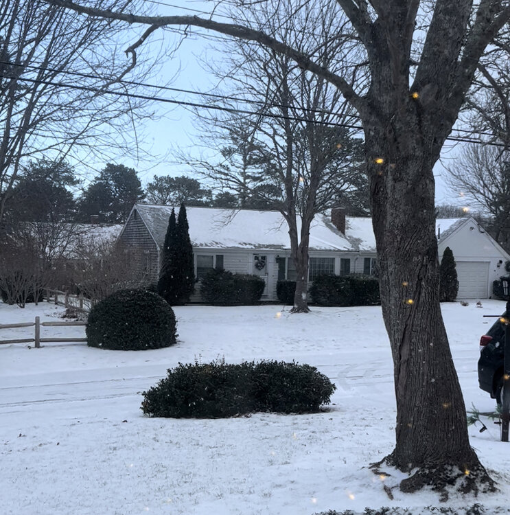
That’s awesome for them. Currier and Ives fluff on Xmas Eve that amounts to warning totals.
-
Awesome. That’s the best…getting the unexpected white Christmas from a squall that sort of stalled over your area. Still going too