ORH_wxman
-
Posts
90,892 -
Joined
-
Last visited
Content Type
Profiles
Blogs
Forums
American Weather
Media Demo
Store
Gallery
Everything posted by ORH_wxman
-
I haven’t looked at any of the hovmoller charts but I know the gfs was being a lot more aggressive taking MJO into phase 4 on the RMM plot while EPS was killing the wave into the COD. So not sure if that is playing a role.
-
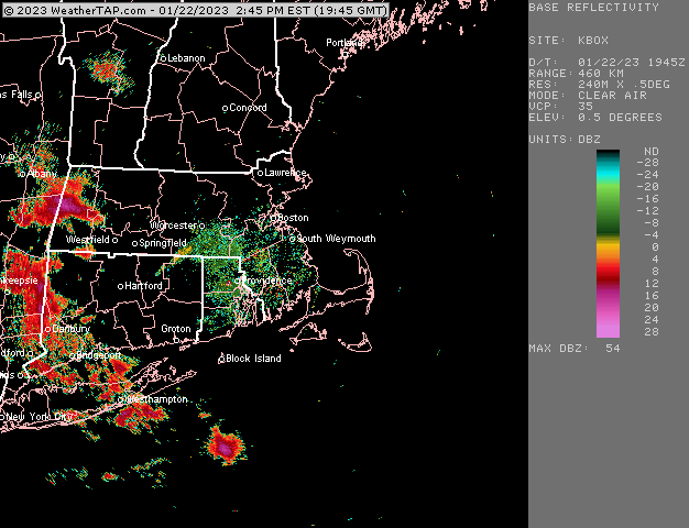
It’s bizarre looking…almost what you’d expect when a midlevel low is going over like the south coast of RI but we don’t have that yet. Almost convective looking…
-
Weird little blowup of precip
-
Steady light snow here right now…pretty good snow growth too after the first few minutes of tiny flakes. Temp is 33 though so gonna need it to come down harder to really stick
-
Seems like the EPO ridge is staying further east on the EPS and not retrograding back to WPO territory. It also stays quite poleward which helps. That sucker is way up into the east Siberian sea
-
Yeah I’m still heading against it but the more guidance that shows it, the more likely it becomes. Even the 12k closed off h5 right as it was passing under us…so there’s a reason to watch it. It takes a lot of things to like to get those big rates. I’m expecting snow for much of SNE tomorrow but I’m leaning toward just steady light snows for the most part that might have trouble accumulating…esp low elevations and further south. But hell, even a bit of a compromise would help in getting 2-3” for many.
-
@CoastalWx what do you make of EPS today? Seems like a continuity break in LR. That’s a brutally cold look later in the period.
-
Yeah that’s a hell of a CCB on 3k for SNE. Violent ending. 12k was too far north and only had light snow for several hours.
-
12k is pretty flaccid
-
3k NAM might be

-
Need a good wind storm to rip some dog logs against the chain link fence….clang clang clang
-
It’s easier to stomach if you accept this winter won’t rally back to near average snow. Just look for a few decent events. I personally would like to grab a good warning event (plus another event of at least advisory) before the pattern flips back to shit and then see if we can grab a big dog in very late Feb or March…then call it a season.
-
Yeah at like d11. It’s actually looked kind of ugly for a long time since then but the last couple days it started looking like more of a front ender when confluence showed up to our north. Still prob not good for SNE but looks like another big hit for CNE. Hoping for a net gain here but I think I need a slight trend east with the vort max.
-
Yes prob a good way to view right now…expect nothing, and then if you grab a couple inches it will be a victory. There’s a lot of jet mechanics on the back side of this storm so it will be worth keeping an eye on.
-
You’ll get some snow tomorrow. Just not sure if it’s a coating or 4 inches.
-
I wouldn’t sell the last few days of January yet post-1/25. Could be something overrunning there…but nuances won’t be predicted yet this far out. I do like seeing lots of scooter highs traversing to our north on some of these runs.
-
Well a few days ago this was flipping to rain up past dendrite so it did trend favorably….just not enough for south of pike. Really south of rt 2 is mostly skunked but pike region may get a couple inches tomorrow.
-
Violent endings are typically the exception. I’m still envisioning this being like a steady light to moderate 6-8 hour deal on Monday that drops 1-3”. Maybe we get lucky back here with a little more. But the intense 1-2” per hour rates are unlikely unless we really curl that upper air trough south of us…but it seems to be a bit more positively tilted than I’d like to see. There’s still some good jet mechanics there so a heavier band or two embedded may happen.
-
Super flat at 06z. Just like NAM was super amped. Both converging toward the middle.
-
Horrific starts to winter do some damage to people…esp in NNE. Interventions may be required.
-
The risk is quite high that we sneak a cutter in there even during these 10-14 days where it’s a colder pattern. But at least there’s real cold behind those systems and real cold lurking just to the north so we’ll have some chances.
-
Reggie is really good for those who stay mostly snow. Big hits there to ORH. But southeast where they are relying on Monday’s changeover it was kind of weak. Prob like 1-3” of slop finish.
-
Yeah it’s pretty robust aloft.
-
Sfc low is hanging well back from 06z so this will be better for Monday.
-
Yes. Though the worst of it may be little before that.