

ORH_wxman
-
Posts
90,892 -
Joined
-
Last visited
Content Type
Profiles
Blogs
Forums
American Weather
Media Demo
Store
Gallery
Everything posted by ORH_wxman
-
My 3-4” of crapola forecast worked out well. I was telling most people around here to expect that.
-
GEFS is a fairly classic Miller B sig. Hopefully by this time tomorrow we still have something.
-
GGEM has a redeveloper Miller B type event and it looks like the Ukie is trying for something similar when the run cuts off at 144.
-
Yeah GFS was too far south and cold, but not to the same degree the euro was too far north and warm. Really I’d say not until about 36-48 hours out did the euro start getting into a spot where I think it performed pretty well. I do think the GFS should get less weight inside of 48h because it hasn’t been that good in the shorter term. But in that 60-96 hour wheelhouse it has been pretty good most of this winter.
-
I think the euro mostly lost that one. GFS was more right than wrong on the evolution of the storm. The problem for spots on the Line is they needed the GFS to be 100% right, not win a 70/30 compromise.
-
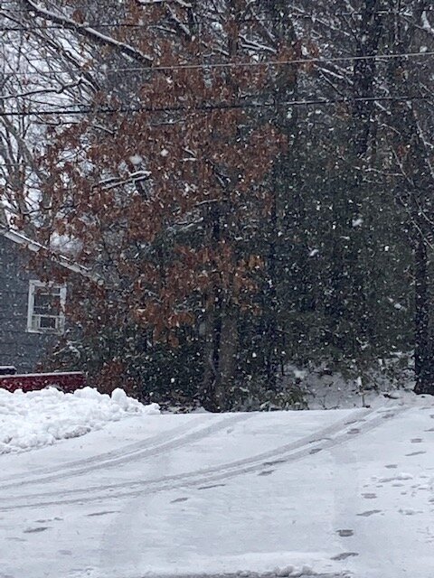
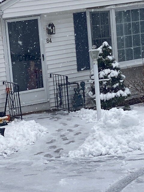
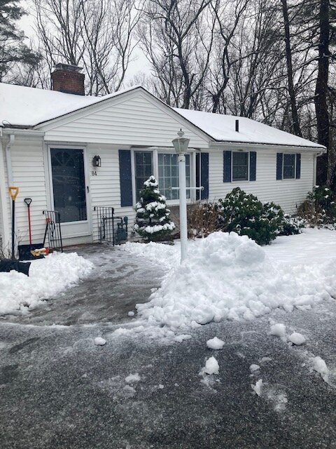
Had about 3” at 3-330 last night…was compressed down to about 2 this morning. Back up to 3” now. Stuff is like spackel.
-
Getting pretty easy stickage on the pavement here. This was about 15 min ago
-
Ripping under this stuff. Sticking to all surfaces including pavement
-
Pretty much all snow here now. Still a couple pellets mixed in but nice fatties.
-
Mashed potatoes This stuff is starting to stick again after shoveling
-
Fatties here now. Prob 70/30 snow/sleet mix.
-
Yeah just deleted about 20 posts. People can b**ch about this winter in any number of other threads that host that type of discourse. We don’t need to turn this one into another.
-
3ish? It’s prob actually lower now because of sleet compaction but we had about 3” at 3am while it was still ripping.
-
Sleet snow mix picking back up here.
-
Even here I can hear the occasional sleet pellet or rimed snowflake break the silence. But still ripping here.
-
Pouring snow here. Prob around 3 inches eyeballing but hard to tell in dark.
-
Hopefully you hold on for several hours…your gain is also ours up to the northeast.
-
We’ll see if the mix line slows down a bit as good lift keeps moving in. That’ll be key also for areas further north around here.
-
It also could be the type of thing where it’s not 100% sleet. Like a sleet/snow mix at times. Either way it will be interesting to watch. The warm layer never really gets that warm N of pike. Some areas don’t get warmer than like +0.5C. So there is a small upside bust potential there.
-
It should fill in a decent amount in the next 3-4 hours.
-
Yeah or it could be the type of situation where we see the sleet line oscillate quite a bit…like we get duped into thinking it’s rocketing north and then it gets beaten back 10 or 20 miles at a time when good lift is doing its thing. I’ve noticed a lot of looks like this on the ptype maps because of how marginal it is…it can’t decide if it’s snow or not
-
I’ve been examining soundings a bit more and if there’s a bust potential at least here near the pike and into metrowest Boston region, it’s that snow would hang on longer….the warm layer is extremely elevated. It’s actually up around H7 and not even the usual “very high up” 725-750 level. NAM even has the warmest layer closer to 675mb….and it’s super thin. It stays like that for a few hours in the 08z to 11z timeframe.
-
Yeah I’m not biting on any positive busts here. My guess is 2-3” front end here before the sleet and then we add another inch or two of crapola. But I’ll be keeping an eye on it tonight. If sleet holds off until like 9-10z, then we might pull off 4-6” on the front end
-
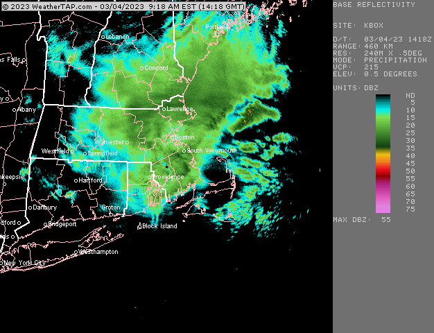
Looks like BDL current wetbulb is about 33.
-
You want the best lift to line up with the snow growth zone (and be saturated). So on Paul’s sounding you see these bars sticking out horizontally from the left, those are omega bar which denote lift in the atmosphere….we want those to be at the same level as the SGZ but they were below the SGZ which means you’ll get crappier flakes. It does improve the next hour (as he showed in a later post).


