
.gif.a8150e126cebc480193fad2934fe975c.gif)
Torch Tiger
-
Posts
16,358 -
Joined
-
Last visited
Content Type
Profiles
Blogs
Forums
American Weather
Media Demo
Store
Gallery
Everything posted by Torch Tiger
-
that's the U/L look we want, that meridonal streak across the lakes bent like that. Not a perfect setup but good to see a few scenarios pop up for peak. Erin was the reverse. Wish we could get that setup
-
SC hit earlier, to NE hit (ACK-MVY). LFG!
-
-
call them?
-
Obv la-la land but much better

-
pretty good storm for ACK, and that's about it. The overall pattern isn't terrible and hopefully something develops, and is more trackable than the Erin crap
-
That's all we got. Steintember
-
Yeah I was looking at Euro AI, op looks like crap besides NW. Hopefully WNE/CNE/NNE gets something.
-
gfs/ggem more W/NW timing for Saturday, Euro op timing is really good for most though. I'm interested. Hodos look more straight than a few days ago, though...was hoping for a few sups with the better dynamics and wind field

-
60kt microburst with .06" rain. ha
-
Should be a wild day
-
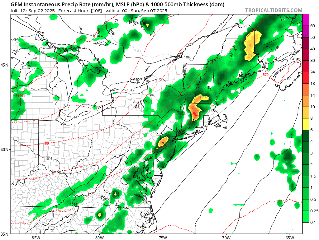
Saturday brings the better chance of some severe storms as instability increases and lift arrives in the form of a cold front. Details will ride on exact timing and stregth of this front, how unstable we can get ahead of it, etc.
-
BIG winter incoming.
-
time is running out..... sucks. We'll get that 1/100 or 500 eventually. 2038? 2054?
-
-
Not bad
-
Decent severe look for saturday?
-
what the heck is going on in Groton, Corrupticut? lol what a shitty Mayor
-
We're almost to December ! Then sun angle is up up up!
-
Well the cane thing didn't work out as Erin was a million miles OTS...and severe is basically impossible in NE....but it will end up relatively cool
-
Torch Tiger replied to Typhoon Tip's topic in New England I've been on the cool train for at least a week or so, when models started flaunting the EC weaknesses with ease. some models have more of a curved/rounded shitty looking L/W trough, some are more normal looking with embedded s/ws re-establishing the weakness and stalled sfc front.. I'd hedge towards a BN August, maybe some decent severe wx and also a cane hit/near-miss
-
The good news; BN is still pretty damn nice. But those days are running out very quickly
-
As I said back in July, August would most likely be BN, at more stations than not. Some knew
.thumb.gif.f92b16c631a1d15d405ed77b33f0710d.gif)


.png.14ba9c4d6d59873e8289af9e07d6bce1.png)

