
brianc33710
-
Posts
281 -
Joined
-
Last visited
Content Type
Profiles
Blogs
Forums
American Weather
Media Demo
Store
Gallery
Everything posted by brianc33710
-
Right now things are quieter than I had thought this time yesterday. The night is still fairly young though.
-
OK. 2 pm Montgomery is now 81/70 & Jackson 81/69. Tuscaloosa 69/64, Bham 66/62, Calera 67/53.
-
145 PM CDT SUN APR 12 2020 AREAS AFFECTED...NORTHERN AND CENTRAL ALABAMA AND FAR SOUTHERN MIDDLE TENNESSEE. CONCERNING...SEVERE POTENTIAL...TORNADO WATCH LIKELY VALID 121845Z - 122015Z PROBABILITY OF WATCH ISSUANCE...95 PERCENT SUMMARY...THE SEVERE WEATHER THREAT CURRENTLY OVER MISSISSIPPI WILL SHIFT EAST INTO ALABAMA LATER THIS AFTERNOON. A DOWNSTREAM TORNADO WATCH WILL BE NEEDED SOON. DISCUSSION...A MCS MOVED ACROSS NORTHERN LOUISIANA THIS MORNING AND PRODUCED NUMEROUS TDS SIGNATURES. THIS SAME CLUSTER OF STORMS HAS PRODUCED A TDS MORE RECENTLY (~1830Z) IN WEST-CENTRAL MISSISSIPPI. THIS SAME LINE OF STORMS IS EXPECTED TO MOVE EAST NORTHEASTWARD INTO NORTHERN ALABAMA LATER THIS AFTERNOON AND INTO THE EVENING. THE AIRMASS ACROSS NORTHERN ALABAMA HAS DESTABILIZED ACROSS THE LAST SEVERAL HOURS AND CONTINUED MOISTENING/WARMING IS EXPECTED AS THE WARM FRONT LIFTS NORTH. THEREFORE, THIS ONGOING MCS IS EXPECTED TO MAINTAIN ITS CURRENT INTENSITY AND LIKELY STRENGTHEN FURTHER AS IT MOVES INTO ALABAMA. A 997MB MESO-LOW HAS FORMED IN SOUTHEAST AR/WESTERN MS. THIS HAS ACTED TO LOCALLY ENHANCE THE BACKING OF SURFACE WINDS AHEAD OF THESE STORMS. THIS HAS LED TO VERY LARGE 0-1 SRH VALUES NEAR 700 M2/S2 PER GWX VWP. DAMAGING WINDS AND QLCS TORNADOES WILL CONTINUE TO BE A THREAT WITH THIS MCS AS STORMS MOVE EASTWARD. HOWEVER, THERE IS A CONDITIONAL THREAT FOR SURFACE BASED SUPERCELLS TO DEVELOP SOUTH OF THIS ACTIVITY IN THE WARM SECTOR. IF THIS OCCURS, A SIGNIFICANT, THREAT WOULD BECOME MORE LIKELY. A TORNADO WATCH WILL BE NEEDED SOON EAST OF THE CURRENT WATCH IN MISSISSIPPI.
-
OK. At 1 pm, Demopolis was 76/69 & Tuscaloosa 64/60. The front is on the move north. 2 PM is right around the corner.
-
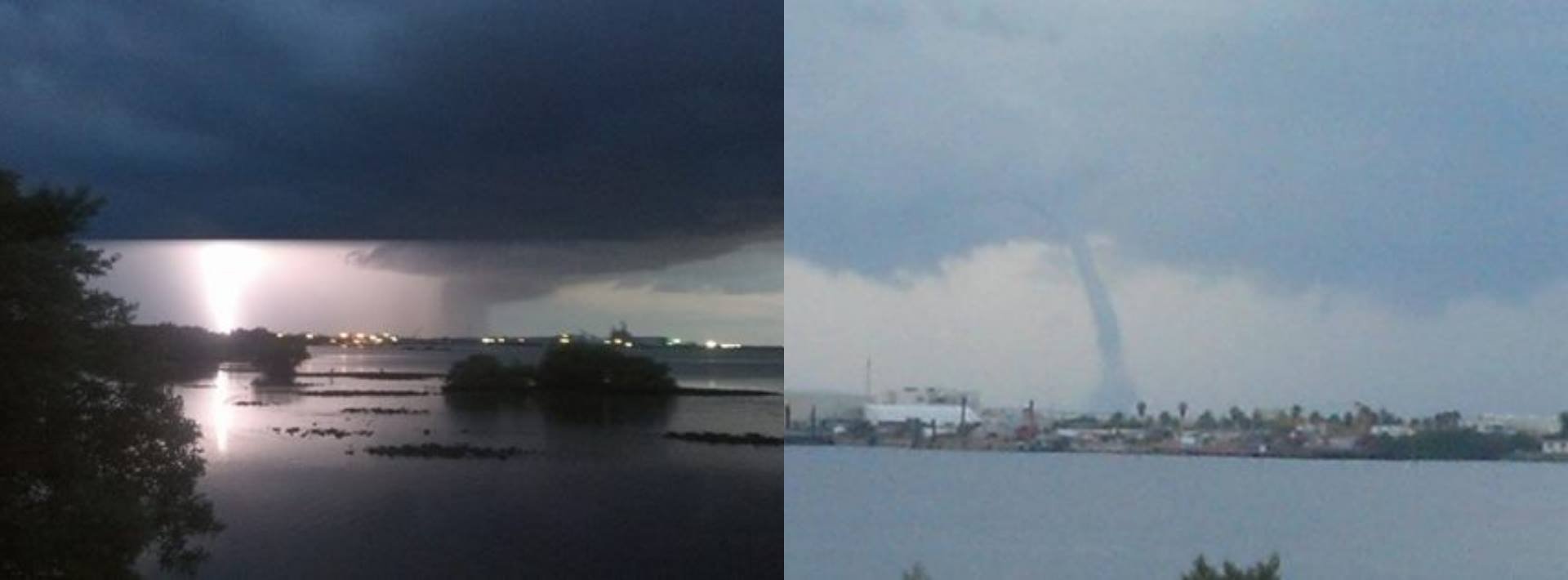
Did this image come through for anyone else?
-
I found this regarding the SPC's delay with not going high risk, so far: SPC: THERE IS STILL ENOUGH UNCERTAINTY WITH REGARD TO CONVECTION OUTPACING STRONGER SURFACE-BASED INSTABILITY (ESPECIALLY WITH NORTHEAST EXTENT), AS WELL AS THE OVERALL CONVECTIVE MODE, TO PRECLUDE AN UPGRADE TO HIGH RISK.
-
Yes, I have also seen that text considering an upgrade. After the confection clears and the warm front moves through, I guess they want to see how quickly the area. Here is their wording: SPC: THERE IS STILL ENOUGH UNCERTAINTY WITH REGARD TO CONVECTION OUTPACING STRONGER SURFACE-BASED INSTABILITY (ESPECIALLY WITH NORTHEAST EXTENT), AS WELL AS THE OVERALL CONVECTIVE MODE, TO PRECLUDE AN UPGRADE TO HIGH RISK.
-
The Day 1 SPC outlook is out. They spread MOD further east, but doesn't upgrade any of the area to High. They didn't even mention potentially pulling the High Risk trigger later today. Everything looks like it's there, but they didn't include any upgrade wording.
-
Where is the warm front now?
-
-
This is my take, for what its worth. Right now the dewpoint in Bham is 34. The highest dp in central AL is just 41. Yes, I know that the warm front comes thru tonight, but the of-needed 80 deg his, not just the 70 dps, are S of a line from Demopolis to Auburn. And the best dynamics are N of that line. Right now, I'm skeptical, and will go with a squall line like type of event. Feel free to disagree though. Also, Broyles, who took the bold move of inserting the 45% contour inside the already HIGH risk 9 yrs ago, seems less than convinced for Sunday. Things can change though, and that would prove me wrong.
-
I can't share the new Day 2 outlook for Sunday. But, the only real expansion by the SPC is the enhanced level stretched into KY. While I did expect them to broaden the MOD to include more of AL & into TN, the delay in pulling the High Risk lever doesn't surprise me.
-
Two things for discussion: James Spann actually thinks that the SPC will go with the High Risk next update, which seems a little too soon. But he has 40 + years of experience so I will defer to him. Also, is the Nashville, TN EF-4 the only violent tornado so far in 2020? I know that they also had an EF-3, but their NWS office did find some EF-4 damage.
-
Okay, I will share what I wrote on another weather talk site since it applies here two ways, so this isn't plagiarism: I think maybe this event would resemble a 15 April 2011 with an EF-4 or 5 added in to the event, MAYBE 2 4/5s at most. I guess the # of tornadoes in 2011 + the violent tornado from 08 April 1998. This would resemble a once-a-decade type of event but short of a superoutbreak. I guess one other thing I'm trying to say, beyond the fact that I think 27 April 2011 is a generational/meteorology career type of even, is those less informed weather geeks (no shade, see below) who get high on the hype leading up to that event. Looking back thru these weather threads from 9 yrs ago, some of the bloggers & members kept hoping that the event WOULD live up to its potential, and went into overdrive once the storms began to fire. Of course, that event did live up to 90-95% of its potential, so these overeager members did indeed get what they "wanted." However they had failed to anticipate the hundreds of deaths, the thousands of injuries, and the billions of dollars that would result from that superoutbreak. So, from a fellow weather geek (but more informed) like myself, PLEASE be careful for what you wish for. Once you get it, the guilt and sadness could last you a lifetime.
-
Yeah, Birmingham is now in level 4/5. James Spann remarked in this morning's Weather Extreme video that the SPC typically doesn't issue a Moderate Risk for day 3. At least with everyone stuck watching Easter services on TV everyone should be close to, if not at, home when the storms come through.
-
We will know more tomorrow morning. Unlike during hurricane season, I don't plan to stay up on edge for every model update.
-
Fred Gossage, also a Birmingham, AL meteorologist (and he was once active on here), posted about the potential danger from Sunday's event on his personal FB page. I am not a friend of his, but you can see what he has written on his personal Facebook page.
-
ABC 33/40 Meteorologist James Spann shared soundings for Tuscaloosa, AL Sunday afternoon. He says that the forecast show a PDS situation and that the trends aren't looking good for the SE. Spann shows the soundings between 3:35 & 3:50 on this afternoon's Xtream Weather video.