*IndyMeso*
-
Posts
332 -
Joined
-
Last visited
About *IndyMeso*

-

4/2-4/3 Potential Major Severe WX Outbreak
*IndyMeso* replied to Geoboy645's topic in Lakes/Ohio Valley
Went right over me. Super intense and nerves are shot but so far hearing of no major damage. -
4/2-4/3 Potential Major Severe WX Outbreak
*IndyMeso* replied to Geoboy645's topic in Lakes/Ohio Valley
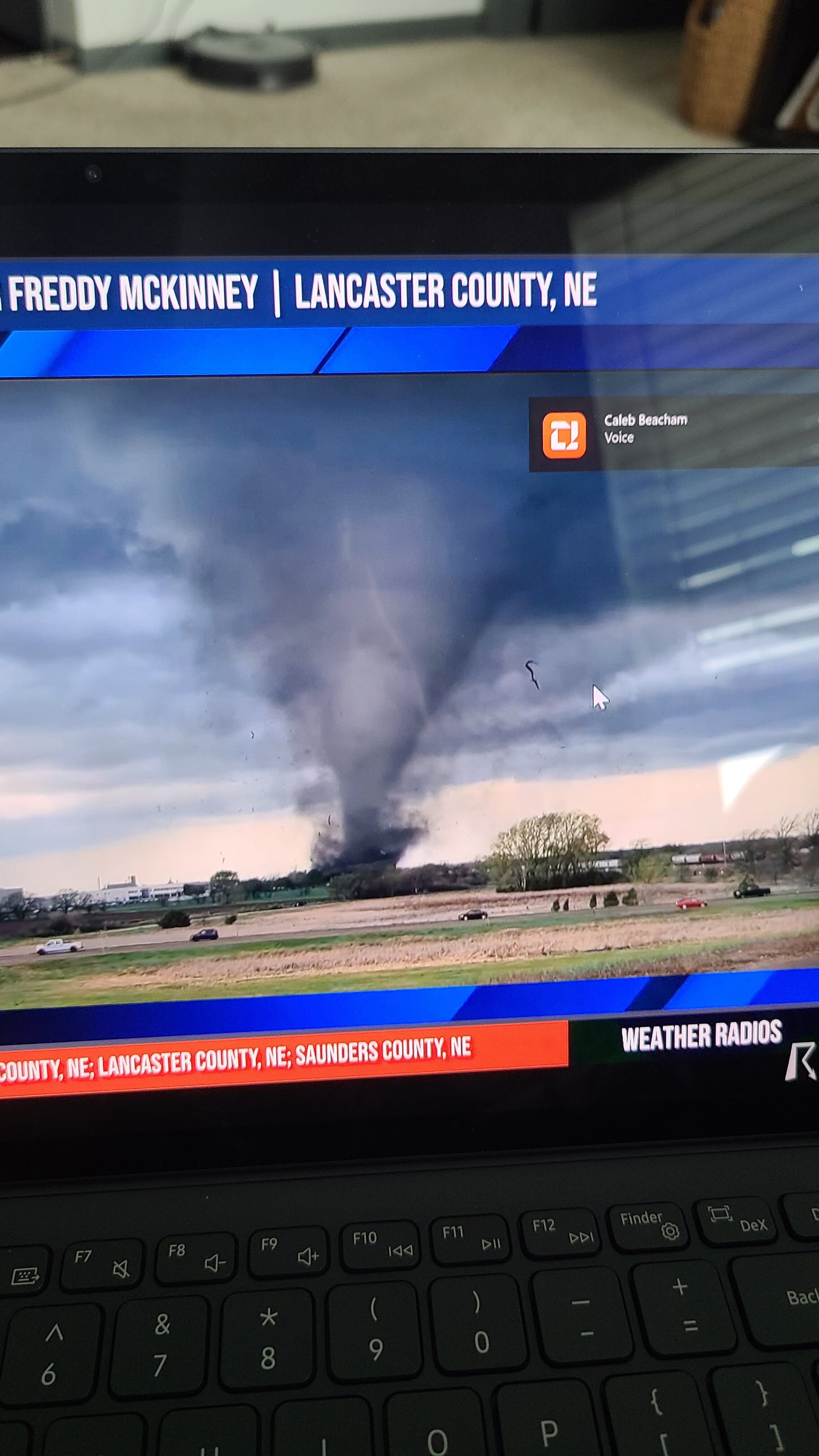
The motion on that Lake City tornado is insane. Brandon Copic has a beautiful view -
4/2-4/3 Potential Major Severe WX Outbreak
*IndyMeso* replied to Geoboy645's topic in Lakes/Ohio Valley
Nothing really on the other Regional boards so I will say it here but holy s**t Arkansas. Radar images for the books -
Well deserved Tornado Emergency on that one. That debris ball is massive.
-
March 14-15 Severe Weather Outbreak
*IndyMeso* replied to HillsdaleMIWeather's topic in Lakes/Ohio Valley
That hook near Arnold... -
Please stop. Your posts aren't helpful and on a day like today your trolling isn't needed. The SPC has already mentioned several times that a delay in initiation doesn't mean bust. Please read forecasts before commenting.
-
Severe Weather 4-25 through 4-28-24
*IndyMeso* replied to cheese007's topic in Central/Western States
Screen shot. What a stunner.
-
4/1-4/2 severe threat (southern portion of subforum)
*IndyMeso* replied to largetornado's topic in Lakes/Ohio Valley
Definitely clearing out now. My weather station just jumped two degrees in 30 minutes. -
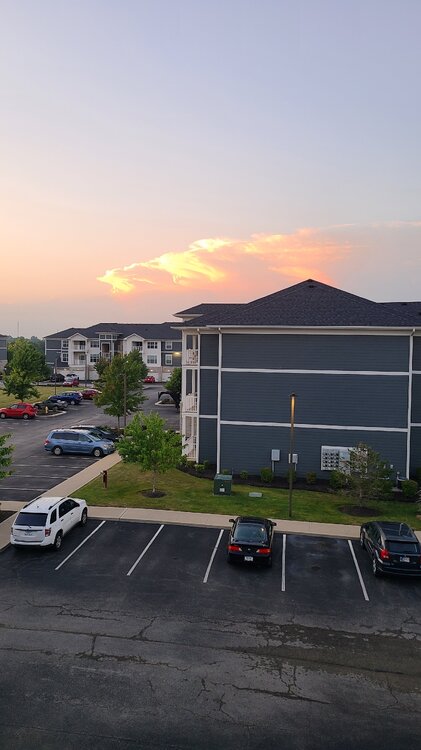
My view of the storms in Northern Indiana.
-
This will do it.
-
Saw the wall cloud in northern Hamilton County from my porch but crapped out pretty quickly. What sucks even more is I'm between two storms so I'm not even getting any rain. Painful.
-
Sounds like a huge wedge heading towards the east side of Lockett.
-
There are so many chasers on this thing. Many of which are way too close.
-
Yeah just heard he lost his back window. Not surprised as that developed rapidly next to him. Large tornado now
-
Vince Waelti is literally in front of the tornado near Crowell. Update: he was in it for a bit.