

Holston_River_Rambler
-
Posts
6,207 -
Joined
-
Last visited
Content Type
Profiles
Blogs
Forums
American Weather
Media Demo
Store
Gallery
Everything posted by Holston_River_Rambler
-

Wild Speculation for Winter 20 -21
Holston_River_Rambler replied to Holston_River_Rambler's topic in Tennessee Valley
Hunter Ward has posted his winter forecast: https://www.ashevillewx.com/weatherupdate/2020/10/29/ashevillewx-2020-2021-winter-weather-outlook?fbclid=IwAR0UQmpWK_YXn9Klz_SPW011J7qohWOmmmt2-puoQWwI4rPiXiFfrr3mgpc Obviously for NC, but he does talk about the mts as well. Also, apparently the UKMET monthly model (from Ben Noll's website as seen on Ward's forecast) sees some opportunities for Abv. Average snowfall for western parts of our area. Dauntless Ray has his thoughts out too, again for western NC: http://asheweather.com/public/FearlessForecast.pdf Seems like the overall thought is more opportunity for upslope, NW flow snow for favored areas in western NC, at least more opportunity than we have seen in recent years. Hopefully that can translate to more NW flow and maybe a clipper or two for us. While I was poking around on Ben Noll's twitter I found this: If there were to be more convection over the western Indian Ocean (8 - 1 MJO region) that would definitely be an interesting twist to La Nina. To be totally fair, equating 2021 to 1996 by looking at one RMM diagram and one model's seasonal forecast is vintage snow weenie and like trying to shove to pieces of a puzzle (thaty may not even be from the same puzzle) together because I JUST WANT THEM TO FIT/ WHY WON'T YOU FIT &^%$$^&*(&^%%$ But we must have hope so that when @mempho comes calling we can be reaped in the fullness of time. -
Fall/Winter 20-21 General Observations
Holston_River_Rambler replied to John1122's topic in Tennessee Valley
My neighbor's rain gauge/ weather station went out, so no clue how much more rain we got here. Zeta was booking it though, so probably not as much as yesterday. -
Fall/Winter 20-21 General Observations
Holston_River_Rambler replied to John1122's topic in Tennessee Valley
Man the rain is almost as fun as snow at this point. 3.09 inches and a river in my yard for the dogs to waller in. -
Fall/Winter 20-21 General Observations
Holston_River_Rambler replied to John1122's topic in Tennessee Valley
Really interested to see how @John1122 has fared today. It just keeps pouring here. -
Fall/Winter 20-21 General Observations
Holston_River_Rambler replied to John1122's topic in Tennessee Valley
It was from the 26th, but I went back and looked and didn't see much more than a little line of showers: I guess they could have been convective, but still such a weird/ cool cloud pattern. -
Fall/Winter 20-21 General Observations
Holston_River_Rambler replied to John1122's topic in Tennessee Valley
Tropical Storm warnings into parts of our CWA: -
Fall/Winter 20-21 General Observations
Holston_River_Rambler replied to John1122's topic in Tennessee Valley
I wasn't really looking forward to the rain, but now the season stream in my front yard is roaring again, lol. My wife and I dug it out and landscaped in and around it, so I'm happy it's back. My larger dog (TROWAL dog) may have flopped in the deeper section of it and gotten pinched by a crawdad! Nearby weather station is up to 2.5 inches, we may hit 4 before it's all over -
Fall/Winter 20-21 General Observations
Holston_River_Rambler replied to John1122's topic in Tennessee Valley
Weird cloud formations on satellite yesterday in the eastern Valley. Maybe some subsidence caused that? -
Fall/Winter Banter - Football, Basketball, Snowball?
Holston_River_Rambler replied to John1122's topic in Tennessee Valley
Another tropical system. More humidity. Yay -
Wild Speculation for Winter 20 -21
Holston_River_Rambler replied to Holston_River_Rambler's topic in Tennessee Valley
Maybe we get a No Flood February NFF (patent pending) and call it a win!? -
Fall/Winter Banter - Football, Basketball, Snowball?
Holston_River_Rambler replied to John1122's topic in Tennessee Valley
Sorry for the jumpiness, I am still a little rusty this year. EPS member 8 FTW. -
Hopefully Epsilon can bring us another shakeup to the N Hemisphere pattern a few weeks down the road.
- 168 replies
-
- 3
-

-
- leaves changing
- temperatures
- (and 2 more)
-
Fall/Winter Banter - Football, Basketball, Snowball?
Holston_River_Rambler replied to John1122's topic in Tennessee Valley
Didn't we watch this same pattern show back in early September? We thought we were getting a front through and CO ended up with a big early season snow. But after that, fronts did start to make it through again. And hey, we've had some pretty good blocking for at least the first half of the month. Maybe we have just a normal crappy La Nina this year and not and Epic Crappy La Nina? -
Fall/Winter Banter - Football, Basketball, Snowball?
Holston_River_Rambler replied to John1122's topic in Tennessee Valley
That's inspirational Stovepipe! We have 31 GEFS members this season; I have not yet begun to gif! -
Fall/Winter Banter - Football, Basketball, Snowball?
Holston_River_Rambler replied to John1122's topic in Tennessee Valley
Glad I was out of town in Boone and couldn’t watch, lol. -
Fall/Winter 20-21 General Observations
Holston_River_Rambler replied to John1122's topic in Tennessee Valley
Still in the low 50s at noon. This airmass is chilly. -
Fall/Winter Banter - Football, Basketball, Snowball?
Holston_River_Rambler replied to John1122's topic in Tennessee Valley
O ho ho, fantasy storm on the 6z GFS: Annnddddd look what happens if you suspend disbelief and pick the best ratio: What's the Euro going for at that time (doesn't quite go out that far) you might ask... Will we have the perfunctory Halloween-La Nina snow to accompany Jeff's Halloween cold front? -
Fall/Winter Banter - Football, Basketball, Snowball?
Holston_River_Rambler replied to John1122's topic in Tennessee Valley
Couldn't resist: Sorry Jeff -
Fall/Winter Banter - Football, Basketball, Snowball?
Holston_River_Rambler replied to John1122's topic in Tennessee Valley
The end of the 6z run this AM looking pretty nippy too. Snow showers and low 20s for higher elevations. Almost time to start looking at 50 EPS members for true weenie runs, lol. -
Fall/Winter Banter - Football, Basketball, Snowball?
Holston_River_Rambler replied to John1122's topic in Tennessee Valley
-
Fall/Winter 20-21 General Observations
Holston_River_Rambler replied to John1122's topic in Tennessee Valley
Chilly early Fall AM at Obed definitely saw some frost on the way there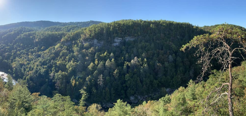
-
Fall/Winter 20-21 General Observations
Holston_River_Rambler replied to John1122's topic in Tennessee Valley
Some Wunderground stations reporting freezing or below up here on the plateau this AM. The closest one to me is at 39. -
Wild Speculation for Winter 20 -21
Holston_River_Rambler replied to Holston_River_Rambler's topic in Tennessee Valley
I wish I could react with both the #sad and #thanks reactions to the above. But I only get one, lol Now that October is closing in, it will be interesting to see what the NAO averages out for that month. We have Isotherm's statement late last winter that (I think) 2 out of the 3 upcoming winters would feature, on average a -NAO. I think Tellico also mentioned something like that based on maybe the QBO??? and that it would be interesting to see that feature wit ha La Nina, but I don't remember exactly what it was and couldn't find it. The post I started this thread with, looks at the NAO in Oct. Haven't worked myself up this winter to the sort of effort I put into that previous post, so this is all I have to add for now. We must hope for the following pattern in early - mid Jan, lol: As John said though .008% chance of it, lol. -
Fall/Winter Banter - Football, Basketball, Snowball?
Holston_River_Rambler replied to John1122's topic in Tennessee Valley
Seen on MRX at 5 PM, 9/23/20 Getting twitchy enough to start looking at Hydrometeor classification. -
Yum: The more interaction between Teddy and the mid latitudes pulls down more cooler and drier air for us. Saw some DPs in the 30s on the 12z run.
- 168 replies
-
- 3
-
-
- leaves changing
- temperatures
- (and 2 more)


