midatlanticweather
-
Posts
4,573 -
Joined
-
Last visited
Content Type
Profiles
Blogs
Forums
American Weather
Media Demo
Store
Gallery
Everything posted by midatlanticweather
-
Had a 41mph sustained wind at 9:23pm! That is a good breeze! Obviously, we gusted much higher than that!
-
67.4 for a high! My yard is starting to green up in places that get the most sun. - Mowing will commence soon.
-
22.6 for the low.
-
Some of the surfaces have some black ice out there. I am just above freezing but obviously some spots are freezing. Slippery on a few spots on my driveway.
-
36 with wet snow flakes and some raindrops over the last hour in Purcellvillle
-

Mid-Atlantic Snow Totals Thread - Winter 2023-2024
midatlanticweather replied to mattie g's topic in Mid Atlantic
15.6" -
So have the fails
-
Loud thunder out there! Rain is falling here in Purcellville. I am gonna say that was an erroneous snow report on mPing. I just did a rain report to set the record straight! LOL!
-
Another harbinger for bad winters and likely not a cause but a factor is the great lakes being ice free. If they are, I feel we can say it is a bad winter. There is some obvious correlation there. Warm lakes means warm east. I bet it also helps to screw things up more than we think. Probably just a coincidence
-
Think that was all she wrote!


-
The Weekend Rule? Saturday 2/17 - The Icon Storm
midatlanticweather replied to DDweatherman's topic in Mid Atlantic
Awesome snow falling in Purcellvillle right now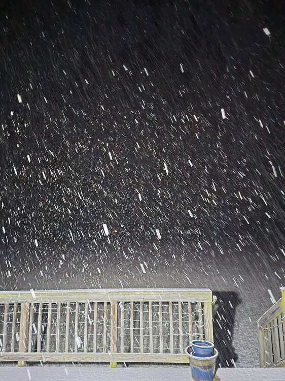
-
The Weekend Rule? Saturday 2/17 - The Icon Storm
midatlanticweather replied to DDweatherman's topic in Mid Atlantic
It has been snowing light to moderate. All grass and cars are white. Temp is 32.6 and do of 31. Heavier radar yellows about to come overhead -
The Weekend Rule? Saturday 2/17 - The Icon Storm
midatlanticweather replied to DDweatherman's topic in Mid Atlantic
painful reality -
The Weekend Rule? Saturday 2/17 - The Icon Storm
midatlanticweather replied to DDweatherman's topic in Mid Atlantic
36.4 with dew point of 21. -
The Weekend Rule? Saturday 2/17 - The Icon Storm
midatlanticweather replied to DDweatherman's topic in Mid Atlantic
Currently a warm 48 with a dp of 16. Dry out there but warm -
The Weekend Rule? Saturday 2/17 - The Icon Storm
midatlanticweather replied to DDweatherman's topic in Mid Atlantic
This seems to have really shifted. The two maxes still show up. The southern max has come up to just north of DC and the other max is now in Central PA. If we had not started so far south this would have been worse for many! This shift is sad for many in the southern part of the forum. Maybe it will expand a bit south. 2 to 4/3 to 5 inch seems the best we get with some local lucky folks. Get a little elevation, you may see more. I hope the shifts north and drier trends stop! -
The Weekend Rule? Saturday 2/17 - The Icon Storm
midatlanticweather replied to DDweatherman's topic in Mid Atlantic
I look at precip output VS. type on theae models. Looking for trends and not exact amounts is the way I treat them. -
The Weekend Rule? Saturday 2/17 - The Icon Storm
midatlanticweather replied to DDweatherman's topic in Mid Atlantic
Always stay cautious until you see the snow falling. Never doubt that things can change even when models look good. Any step back from respected models deserves pause. Not saying it is true, but, when in a range of possibilities, you want to be the upper range on models and not the lower ones. Just sayin' -
The Weekend Rule? Saturday 2/17 - The Icon Storm
midatlanticweather replied to DDweatherman's topic in Mid Atlantic
-
The Weekend Rule? Saturday 2/17 - The Icon Storm
midatlanticweather replied to DDweatherman's topic in Mid Atlantic
That looks nice for MBY -
The Weekend Rule? Saturday 2/17 - The Icon Storm
midatlanticweather replied to DDweatherman's topic in Mid Atlantic
HRRR and RAP give me pause with the northward look. I hope we do not see this slip too far north! -
The Weekend Rule? Saturday 2/17 - The Icon Storm
midatlanticweather replied to DDweatherman's topic in Mid Atlantic
With the NAM.. my guess is that Blue Ridge parts of the area will get the warning levels. It may be the same elsewhere. If it were a weekday and not the weekend tomorrow, I would think it would be a more widespread warning due to commute impacts. Just me rambling. This looks nice. Loving the FGEN! I would love some thunder. Thinking I take a nap this afternoon so I can be up late! -
The Weekend Rule? Saturday 2/17 - The Icon Storm
midatlanticweather replied to DDweatherman's topic in Mid Atlantic
-
The Weekend Rule? Saturday 2/17 - The Icon Storm
midatlanticweather replied to DDweatherman's topic in Mid Atlantic
Oh man! Brutal @Ji - Everyone around Leesburg will get 2 to 3 inches.... but Leesburg gets just 1 to2! LOL!