Albedoman
-
Posts
1,118 -
Joined
-
Last visited
Content Type
Profiles
Blogs
Forums
American Weather
Media Demo
Store
Gallery
Everything posted by Albedoman
-
anafront conditions bigtime. Flooding rain hell no. Mt Holly needs to stop talking about flooding as the GOM is not open for business. Snowmelt- what a joke 8 in of snow .50 liquid equivalent in the snow pack. For me 3 in of snow .20 or less. That will not lead to flooding. Ice jams, maybe in upper Delaware and Susquehanna? Thats the only flood threat. I see the precip changing to freezing rain and sleet and then a few inches of snow on top after .25 in of rain. Not a drought buster as the soils remain deeply frozen, especially after the next few nights.
-

January 28th/29th Event Obs - From KU to FU?
Albedoman replied to JTA66's topic in Philadelphia Region
the orographic lifting is taking over right now. The atmosphere is playing the sponge card right now squeezing every bit of available moisture out the atmospheric profiles. The flake size is much bigger just like we were in the sierras with big fluffy flakes rather then dendritic crystals we had all night. However, not worried- an inch or so more and the dry air battle will be over as it will push over the Blue and eventually South mountains and end quickly by noon. The temps should drop to near zero tonight. Mt Holly should revise the overnight lows as many temps are near in the low teens even in the LV and single digits over Hazleton area. With the fresh snow cover and the winds finally dying down by morning, I see below zero temps for many areas. -
January 28th/29th Event Obs - From KU to FU?
Albedoman replied to JTA66's topic in Philadelphia Region
Here it is friday and my Wednesday forecast is still on track-- Nothing new. First call is usually the best call. Heavier bands can still screw up my forecast but this now becomes a now cast event after 6pm ================================================================================================================================= well, it's Wednesday evening,and the storm on the short range models is an out to sea storm, just like I called it. Very little impact to our area with the major accumulating snow east of the NJ turnpike. I see us getting between 3-5 inches at the very most for the entire storm event unless a major change comes to the models. in the next 24- hours which is still a possibility that I will not rule out. Most of the snow will fall Sat morning. As the arctic front comes though on Friday, light snow will break out in the morning to lunch time. It will be snowing lightly all afternoon and into Friday night. 1-2 inches is possible by midnight. if the roads are treated -no problem. Winter storm watches will most likely go out for counties to the south and especially east of the LV by tomorrow afternoon. For us- a wait and see situation as we are very borderline right now. I just wish we we could have a plowable snow event of 4-6 inches but even that appears unlikely right now. -
January 28th/29th Event Obs - From KU to FU?
Albedoman replied to JTA66's topic in Philadelphia Region
I agree with your post but not the criteria. After this snow event Mt Holly really needs to be initiating a study to change the criteria for issuing warning and watches for the entire LV ( including Berks County) and northern Bucks and Montgomery counties. Nearly 2 million people now live in this area alone. Setting arbitrary warning criteria should be based on population and its density. This area has experienced the fastest and most growth in PA in the past five years. That in itself warrants the change not to mention placing the LV as most transportation dependent industry in the entire North east US by making the LV the logistics capital for the entire NE based on warehouse/distribution centers. Lastly, the physical geography with incorporating the actual location of the fall line should signify a change but that topic is for another day. https://www.citypopulation.de/en/usa/pennsylvania/admin -
January 28th/29th Event Obs - From KU to FU?
Albedoman replied to JTA66's topic in Philadelphia Region
Ironic, they rely heavily on the Euro models in the discussion but fail to warn almost a million people who live "on the fringe". The greater Lehigh Valley metro area has a larger population than most areas in the midwest. Makes no sense. The Lehigh Valley has the most dangerously traveled road in PA - I-78/RT 22/ RT 309 corridor. Its already snowing and Mt Holly should at least be precautionary and not reactionary as there are way too many residents/drivers who rely on an accurate warning system. The Lehigh Valley metro is not hicksville rural areas anymore and they need to be more precautionary, thats all. The "I told you so syndrome" is about to come out of the closet again. Sorry for my rant but 25+ years of seeing this same scenario unfolding is frustrating. -
January 28th/29th Event Obs - From KU to FU?
Albedoman replied to JTA66's topic in Philadelphia Region
I am sorry but MT Holly has blown this one. Not even issuing winter weather advisory for a metro area of almost 1 million people now. It is just plain wrong when several models are indicating snow accumulation approaching 4-6 inches for southern Lehigh County. They have done this before by issuing winter storm warning too late in the ballgame, I would have put up a winter storm watch and a winter weather advisory at the minimum. Many people in Berks, Lehigh and County are going to be upset and tons of accidents as a result. Just saying history repeating itself. -
January 28th/29th Event Obs - From KU to FU?
Albedoman replied to JTA66's topic in Philadelphia Region
yep, I agree this year. Allentown is having to trouble just cracking 6 inches -
January 28th/29th Event Obs - From KU to FU?
Albedoman replied to JTA66's topic in Philadelphia Region
I agree the 12Z runs tomorrow will be the final nail in the coffin. Its been a longtime to wait this close to the actual storm event to even have any confidence. Usually the Nam/Euro combo works well but they are even jumping around. -
January 28th/29th Event Obs - From KU to FU?
Albedoman replied to JTA66's topic in Philadelphia Region
My historical analogy of this storm in the 25+ years of doing this is the banding of the tucked in low will be the driver of jackpots and busts in our forecast area. So many times I have seen these coastal lows start to retrograde in late short range models around the benchmark and pop off some serious banding issues as the low closes off early due to more convection. This storm is modeling to be a very similar situation to past storms that I have seen. The western fringes areas of this snow may do very well if banding holds as reverse orographic lifting takes place over the South and Blue Mts. Montgomery/Bucks County into Lehigh and Northampton may overperform because of this situation. I would not be surprised that winter storm warnings are extended up into these counties tomorrow if the short range models continue to indicate retrograding of the LP. -
January 28th/29th Event Obs - From KU to FU?
Albedoman replied to JTA66's topic in Philadelphia Region
keep on drinking ---nada for you in Gap but a winter weather advisory tomorrow. GFS blows at short range. -
January 28th/29th Event Obs - From KU to FU?
Albedoman replied to JTA66's topic in Philadelphia Region
I have my own following of friends on MeWe the past few years. I used to be on Facebook and Nextdoor but the ads and controlling my newsfeeds just got too much. I like Mewe as the garbage is filtered out and I control my newsfeed and not ad algorithms. This my forecast below that I posted for them 14 hours ago and I am still sticking to it even after todays 12Z runs Well, it's Wednesday evening and the storm on the short range models is an out to sea storm, just like I called it. Very little impact to our area with the major accumulating snow east of the NJ turnpike. I see us getting between 3-5 inches at the very most for the entire storm event unless a major change comes to the models. in the next 24- hours which is still a possibility that I will not rule out. Most of the snow will fall Sat morning. As the arctic front comes through on Friday, light snow will break out in the morning to lunch time. It will be snowing lightly all afternoon and into Friday night. 1-2 inches is possible by midnight. if the roads are treated -no problem. Winter storm watches will most likely go out for counties to the south and especially east of the LV by tomorrow afternoon. For us- a wait and see situation as we are very borderline right now. I just wish we we could have a plowable snow event of 4-6 inches but even that appears unlikely right now -
If this is indeed true, its better than watching any weather model run this past year

-
Central PA - Winter 2021/2022
Albedoman replied to Bubbler86's topic in Upstate New York/Pennsylvania
I blame one thing and one thing only- the lack of empirical data over the Pacific Ocean in a very progressive west to east weather pattern. Not enough buoys, balloons and flight to gather information to ingest into all of the models to make deterministic and more accurate locations of upper air winds and pressures. Surface precip maps do not control the weather , upper winds do plain and simple. The more equipment we have to get temps, pressure and wind speeds the more accurate the models will be. My solution to this mess: Launch drones in the areas of the pacific ocean (the great void) where we we currently lack the available data and design these drones to exceed 50,000 sq ft. the capability to launch weather balloons and gather air pressure humidity and temps throughout the profile of the atmosphere. If companies can produce a drone to deliver a frickling amazon package, they can make them to fly over the pacific ocean with the appropriate weather data gathering equipment. Something is better than nothing -
Too early to say. If the La Nina takes its time breaking down, sometime in May. Still can get late April rains to kill the potential drought though but Feb and March are not looking good right now for any huge precip event. All it takes though is one good snowfall storm event of 12-18 inches in Feb to provide us with a good recharge. Lets hope this happens by Valentines Day.
-
Wow, it appears I hit this moving target in the bullseye. No biting for me. It appears another use of the leaf blower for this snow event. Gotta charge up the battery. LMAO +++++++++++++++++++++++++++++++++++++++++++++++++++++++++++++++++++++++++++++++++++++++++++++++++++++++++++++++++ I do not believe we get jack crap. OTS or hits Long island Boston area. The cards are not in play at this time. That storm has to be at least 150 miles more sw and wrapped around and amped like hell. The best storms are down at the BM at the Chesapeake Bay. Furthermore, the mid range models are so far off in this PA jet progressive pattern that it is scary. When the Nam shows it at the 60 hour mark, I will bite at it. Until then time to just watch the mood flakes fall tonight. Honestly this weather pattern is equal to the volatility of todays stock market activity - and thats bad. I might as well be reading the futures in the market for our... Monday at 05:09 PM 1,934 replies 2
-
cmon hold on to your poker face a little longer. This is an OTS storm. For the LV, 1-3 inches thats it
-
well posters, please send this potential storm to the graveyard of fails for this winter season. Never even got out of the starting gate. The dry progressive air pattern keeps on beating these storms down as they form off the coast. Whats next? Whats so heartbreaking for snow lovers is that the GFS long range indicates a fantasy storm five days out only to never reappear again. Run after run indicates a 6+ inch storm only to disappear and get pushed back for another week. You cannot even establish any pattern to this progressive split flow. Again, the only concern I have is that the drought potential is not going away in this current weather pattern and if we do not get some significant precip whether rain or snow, into the ground water tables, they will fall pretty quick in early April as temps rise. Our current weather pattern scenario reminds me a lot of the winter of 93 before the March superstorm hit. It will take a major hitter to break this stubborn pattern for sure.
-
yes that was a nice storm event. I like your summation so far on facebook but I am concerned that the storm bombs out past the BM leaving us with scraps this time. The last storm barreled through in this progressive pattern which hints this storm may only slow down once gets near LI. I think tonight's OZ Nam run will tells us if the storm will have enough energy before it hits the benchmark to throw bands off the ocean and toward eastern PA. Nothing better than having orographic lifting from east to west which is good for us in the LV.
-
It would put a dent in it but I am not holding my breath anytime soon. This pesky volatile mid range model runs are ridiculous to follow any pattern. We need the low pressure to bomb out like this over the Chesapeake bay in this clip LOL
-
Lets Debbie Downer now , can't do any worse at this time. The GFS and GEM 0Z runs tonight were a joke as they both have swinging volatility worse than the stock market today. The GEM has 18 inches at noon, nothing at midnight. How the hell can you find a trend in that outcome is beyond me.
-
I do not believe we get jack crap. OTS or hits Long island Boston area. The cards are not in play at this time. That storm has to be at least 150 miles more sw and wrapped around and amped like hell. The best storms are down at the BM at the Chesapeake Bay. Furthermore, the mid range models are so far off in this PA jet progressive pattern that it is scary. When the Nam shows it at the 60 hour mark, I will bite at it. Until then time to just watch the mood flakes fall tonight. Honestly this weather pattern is equal to the volatility of todays stock market activity - and thats bad. I might as well be reading the futures in the market for our weather models. LOL
-
wonder if this volcanic eruption was a major player in 1778 to create a cold winter in 1779 like Pinatubo did in 1991 for 1994 https://en.wikipedia.org/wiki/Raikoke? If that is the case watch out next winter with Tonga volcano
-
I want to say that this entire post is the most well written post that I have read in many years on this forum. As a physical geographer/meteorologist, this was an excellent response to our existing weather patterns and mimics my exact thoughts as well.
-
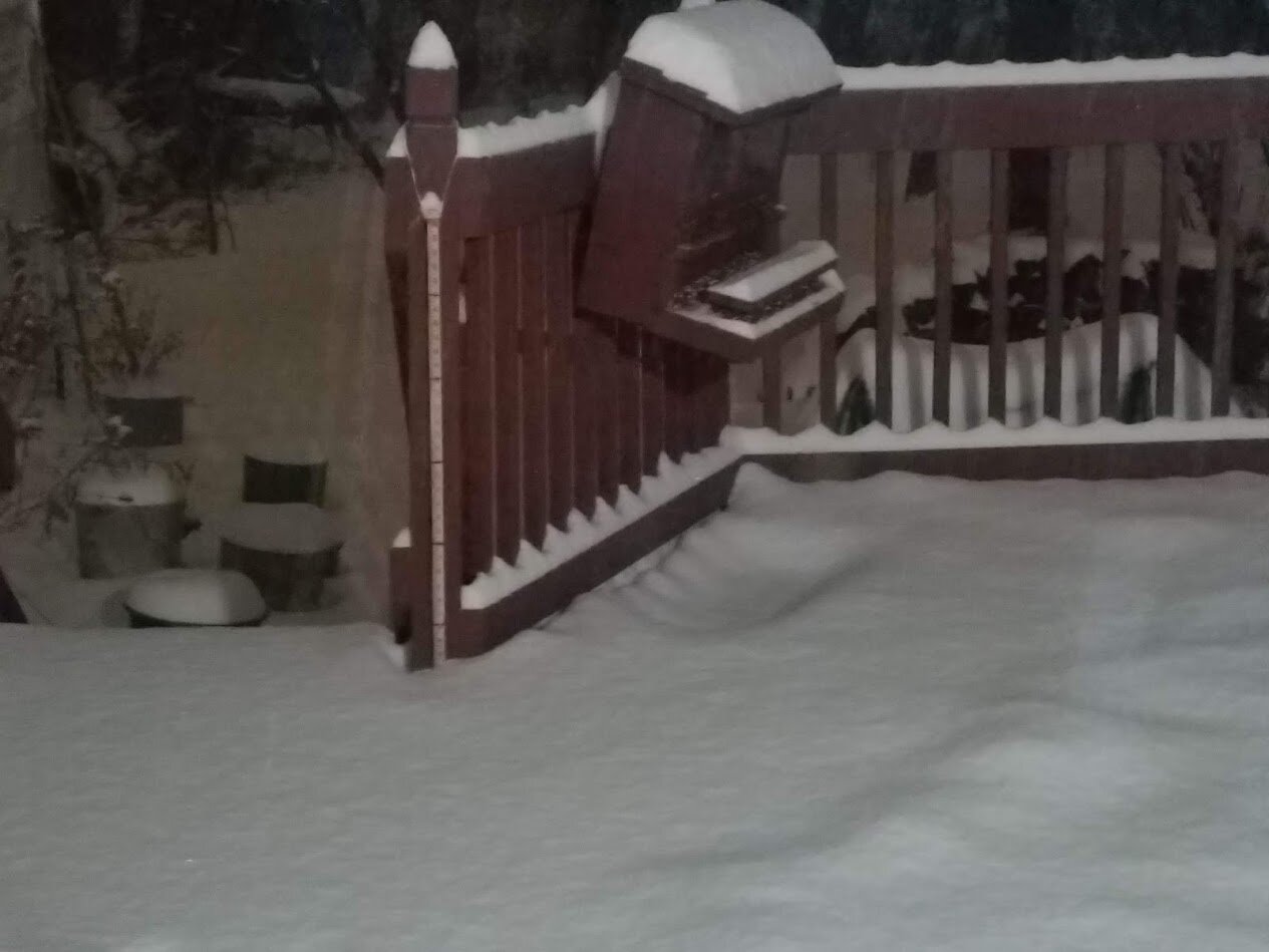
4 in here in macungie still snowing hard yard stick on the deck next to my squirrel feeder red marks are at 6 in increments