-
Posts
28 -
Joined
-
Last visited
About NC DataDude

Profile Information
-
Four Letter Airport Code For Weather Obs (Such as KDCA)
KJNX
-
Location:
JoCo, NC
Recent Profile Visitors
961 profile views
-
Snow/Sleet Mix in Smithfield
-

February 19-20 Major Winter Storm Threat
NC DataDude replied to NorthHillsWx's topic in Southeastern States
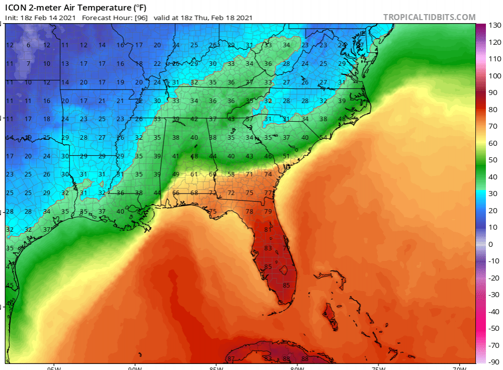
So, with that run, looking like JoCo is the Sleet Location, Snow/Not Snow cuttoff? -
So, are we seeing 3 possible systems (whether it be winter precip or not?) Weekend/Tue-Wed/Fri-Sat? Or are the models all gobbly wobbly and it is a mosh posh of 2 storms strung out?
-

Southeast Sanitarium - Winter 23/24 Edition
NC DataDude replied to eyewall's topic in Southeastern States
-
Not sure exactly where to ask this but I was just looking at the lower 48 via the GOES Image view (since there isn't much going on with the dismal rain falling right now...). Almost the whole country is covered by clouds. Has this ever occurred (I'm sure it has) and the exact opposite, has the entire lower 48 ever been without a cloud with satellite proof?
-
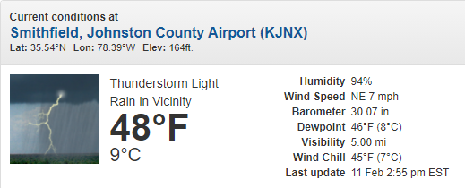
Ok... My oldness/NCness is going to come out.... It is thundering right now here in JoCo and it is "officially" Winter. Snow in 10 days or less, right? LOL
-

Mid to Long Range Discussion ~ 2022
NC DataDude replied to buckeyefan1's topic in Southeastern States
So, I'm showing .90" and 1.29" as possible ice accumulations IMBY. What is the highest total freezing rain event y'all have heard of (a true freezing rain event)? I know there are diminishing returns when it comes to ice accruement. What are the indicators/situations that cause for maximum accumulation? I hope I'm making some sense... -
So.. Seeing .44 ice in JoCo land (I-95 central NC).. Are there any calculations on how quickly snow/sleet/ice buildup is removed/melted due to regular cold rain after the surface temps rise above freezing?
-
-
-
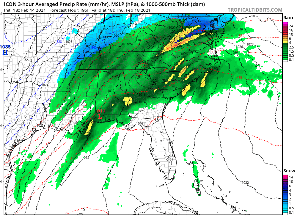
Ok.. So, can we have some DISCUSSION and not just call outs. I'm looking at the icon map and just seeing rain. Can we get some actual discussion so maybe some of us noobs can understand what y'all are seeing?
-


