

OrdIowPitMsp
-
Posts
2,333 -
Joined
-
Last visited
Content Type
Profiles
Blogs
Forums
American Weather
Media Demo
Store
Gallery
Everything posted by OrdIowPitMsp
-
Typical springtime spread in temps across the state today.
-
New record low and record low max for 4/14 in Rochester Minnesota. 4/14/20: High 26 Low 8 Previous record: Low max 32 Low 14
-
Picked up another inch today in some impressive snow squalls that rolled through. Our two day storm total of 6.6” makes this the 3rd April in a row with a 6” storm including the record breaking 15.8” blizzard of April 13-16 2018.
-
Storm total of 5.4” here.
-
2” in the last 75 minutes.
-
Wow massive Cotton balls right now, probably 2"/hr under this band.
-
-
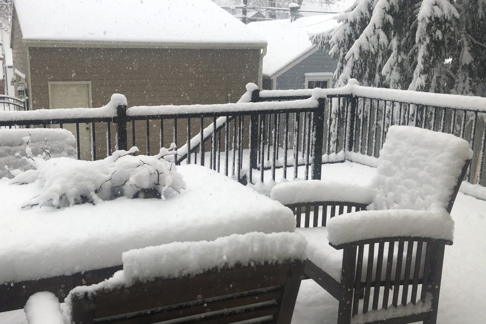
Rippage now and stacking. 2" accumulated on the deck but we had many hours earlier of light snow with not much accumulation. Hard to stack it deep during the day in mid April
-
Been MIA for awhile, lots of non COVID related stuff happening in life for me lately. Have had steady light snow this morning, nothing heavy besides a few bouts of bigger fluffy flakes but we've accumulated a 1/2" on the deck and grassy surfaces. Helping refresh my nearly melted driveway piles. The metro reached 60 yesterday and we've had some warmer days this spring then the past few years so soil temperatures are running in the mid 40s. I think my backyard will be 20-ish miles northwest of the heavier bands, already been missed to the south by better returns this morning. The Minnesota River seems to be the dividing line. The GFS really whiffed one this one with its southern solution. At least the 3k NAM picked up on the trends as soon as it got into range. Hoping for 4-6" IMBY. Could be our 3rd year in a row with a 6" storm in April. I think someone between Red Wing and Rochester will pick up 12" Can't wait to see those 3' totals up by you Bo.
-

Winter 2019-20 Medium/Long Range Discussion
OrdIowPitMsp replied to Hoosier's topic in Lakes/Ohio Valley
With model trends this season I have to say congrats St. Louis. -
Low of -9F and 9” snow-depth. Unfortunately snowpack will take a hit this weekend. Starting to notice the sun angle doing work even on these bitterly cold days.
-
Low of -1F this morning.
-
Ended up with 2.0” imby. Much bigger totals west. Impressive considering this time yesterday the forecast was something like 40% chance of snow showers.
-
1” of wet snow down when I went out to shovel under light snow. Heard some dripping as temps did nudge above freezing today but they are falling now. The heavy band didn’t stay over my location as long as it did out west. 3-5” reports in west metro and 6”+ out by Mankato and New Ulm. My 1.6” call might verify after all.
-
7-10” totals possible under the WSW for Brown, Sibley and Nicollet counties.
-
WWA extended north into the metro. 2-4” with localized 6” totals possible. Complete roller coaster forecast evolution last 72hrs
-
Sleeting pretty good all of the sudden.
-
Heading up to Eelpout in Walker? Please pick up your trash, they’ve had big issues with people leaving literal tons of garbage out on the ice. I know slush on the lakes was a problem from the deep snowcover we’ve had since November, never developed a thick ice pack, glad to hear it’s gotten better. Looks like we may actually get a nice round of mod/heavy snow just in time for the evening commute.
-
Sunny and not a cloud in the sky. Might see a passing mood flake or FRDZ later today. This thing vanished like a fart in the wind.
-
NWS seems pretty bullish on snow potential for southern MN. Mentioned the possibility of thundersnow and a narrow band of warning criteria snow. 1.6” final call imby
-
24hrs ago it was -13 IMBY. Going to torch up to 33 today.
-
Looks like another I-90 special in MN. Maybe we can reel this in somewhat like last weeks storm.
-
Torched up to 1F this afternoon, already back down to -5F. Areas outside the metro will make a run for -20F tonight.
-
Minneapolis and St. Paul city schools are open but many suburban schools are closed. Quick check revels in Duluth where it’s presently -21F there are no closings. We are a hardy bunch in Minnesota. Also this type of weather typically happens annually
-
-11F air temp with a WC of -30F. Unsurprisingly work is having us stay inside today.


