OrdIowPitMsp
-
Posts
2,333 -
Joined
-
Last visited
Content Type
Profiles
Blogs
Forums
American Weather
Media Demo
Store
Gallery
Everything posted by OrdIowPitMsp
-
MSP finished with 7.9” at the midnight observation from yesterday’s event. 2nd heaviest October snowfall behind the infamous halloween blizzard of 91’
-
It still looks like we are south of the action according to the latest NWS thinking. 33F all night. Took the dog out at 5am and felt like it was raining with the amount of slush and snow dripping off the trees. Slopfest 2020
-
Just got home after a nightmare drive back from Rochester on US-52. Multiple spin outs. Between compaction and melting I don’t think we will see this stay around for long. Lots of dripping off the garage. Thank goodness most trees are bare or this could have caused widespread tree damage.

-
Watch this be our biggest event of the year.
-
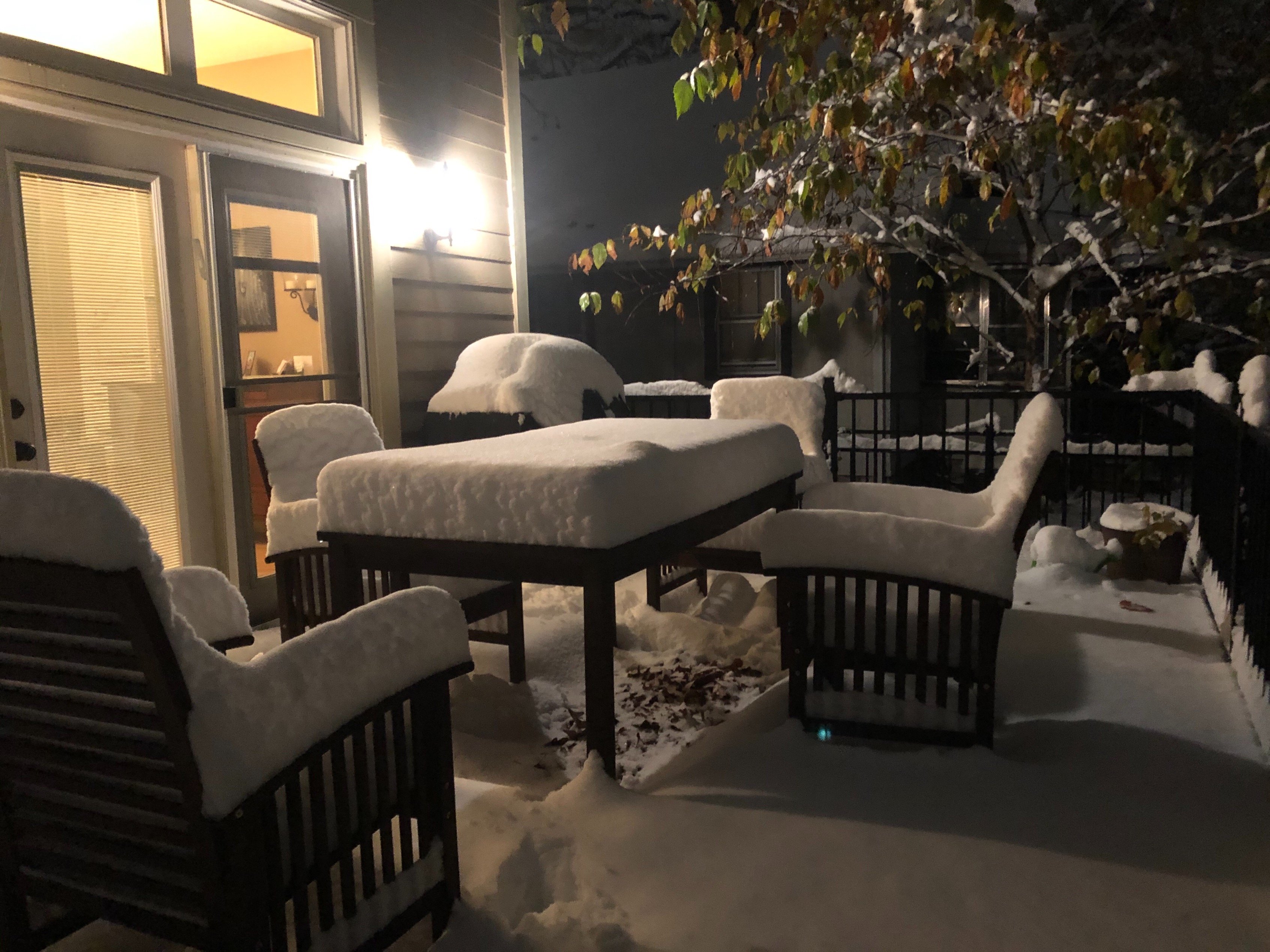
MSP was reporting 1.1” at 1pm, I just facetime’d my wife and it looks like closing in on 3” on the deck.
-
....and just like that Winter Storm Warning for MSP. Wonder how many of those have been issued in October.
-
Bumped up totals in the cities to 5-7” we might not hit 40 over the next week with some highs below freezing. Building the snowpack early this year. just wish I wasn’t down in Rochester...
-
Cities might end up in the bullseye. Going to be a few hours of heavy snow this afternoon.
-
Hi res models want to put down 6-8” in the twin cities. With compaction and a warm ground the official forecast of 2-5” seems more in line. Figures I’m in Rochester MN for work this week where a cold rain/snow mix is expected.
-
First WWA of the season hoisted across much of Minnesota for tomorrow’s event. Not bad for October but obviously overshadowed by what occurred in Iowa today.
-
Brother sent me pics from downtown Des Moines. Everything besides the roads are covered.
-
October surprise for MSP on Tuesday. 2”-4” is more realistic and will be a good start to the season.
-
Snow squallin’ big fat cottonballs dumping from the sky!
-
First flakes of the season are falling imby right now. Low of 33 current temp 35
-
Whiff north and now south looking increasingly likely this weekend. Setting up a great trend early.
-
Hrrrr says no flakes for Minneapolis
-
Down to 34F this morning with frost, looks like the first widespread accumulating snow of the season this weekend in northern Minnesota.
-
First multi day streak of overnight freezes looks to occur here later this week. P&C has rain and snow showers for Friday night and Saturday imby.
-
Wettest day here in two months. Knocked a bunch of leaves off. Looks like we are just past peak here.
-
Thanks for sharing that link. It was really interesting to go back and read the weather records from Fort Anthony/Snelling in those early days. 1820 to the present is a very impressive weather record for our part of the continent. My home is only a couple miles from the historic fort location, I’m sure there was settler activity right on my property during those days.
-
Nothing else going on so might as well post this fantasy storm that will be gone tomorrow.
-
Looks like we did indeed have an official freeze in Minneapolis this morning.
-
Backyard weather sensor got down to 30.4F last night. The official airport obs bottomed out at 33F. Heavy frost on the grass so I am going to go ahead and call this the first freeze of the season imby.
-
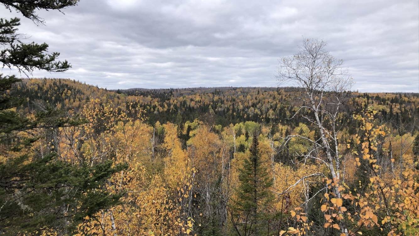
I love the chill. Perfect outdoor sleeping weather. Got out and did a nice hike in Crosby-Manitou state park. Was the first real hike my wife has done since getting a new ACL back in May. Like you said probably a little past peak but coming from down south it sure seemed vibrant.

-
Camping up in Finland Minnesota tonight. Paging @Brian D. It is already down to 35F with a chance of snow showers overnight. Fantastic colors on the drive up. Along the lakeshore elevation ~600’ colors seem to be peaking but up the hill where we are camping ~1350’ it’s a few days past peak for sure.