OrdIowPitMsp
-
Posts
2,333 -
Joined
-
Last visited
Content Type
Profiles
Blogs
Forums
American Weather
Media Demo
Store
Gallery
Everything posted by OrdIowPitMsp
-
@Brian Dfurther up the shore from you could see 12-18” with lake enhancement and orographic effect.
-
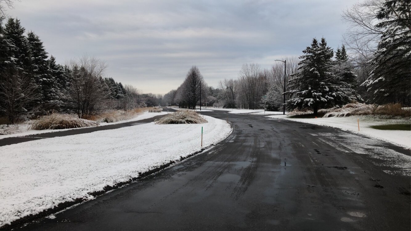
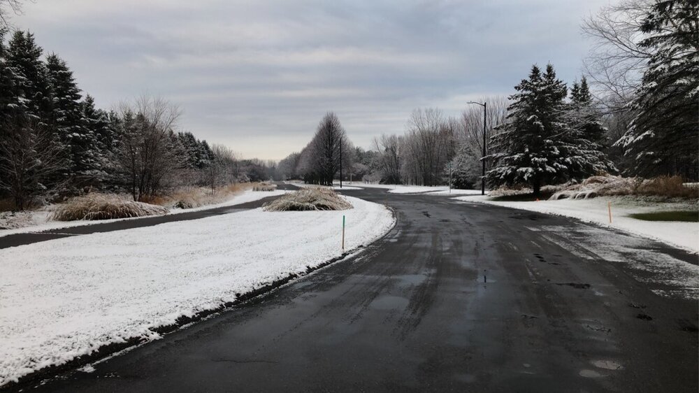
Surprise accumulation in the northeast suburbs this morning.
-
November 2021 finished with 1.2” of snow and 2.2F above average at MSP.
-
It’s been very dry here since since last spring with the exception of August, and the next 7-10 days doesn’t hold much hope for precipitation.
-
Temps dropping throughout the day under full sun. Long range models still showing minimal to no precipitation here over the next 1-2 weeks.
-
Not really anything to track around my neck of the woods for the next 1-2 weeks. Just going to watch the lakes freeze and the drought expand.
-
Coldest morning of the season at msp. 19F
-
On and off flurries and snow showers most of the afternoon/evening. Localized dusting. Top 2 winter event.
-
Snow depth peaked at 38” As a weather geek I’d love to see it, as a home owner I’d be worried about my roof.
-
21.1” in November 1985 Most impressive to me is that #3 and #4 on the list 20” and 17.4” respectively, occurred two days apart in 1982 and led to the deepest snow depth recorded locally. https://www.dnr.state.mn.us/climate/journal/top_twenty_snowfalls.html
-
The MSP record is 28” in the Halloween Blizzard. I’m not confident that will ever get broken, but I suppose with increased precipitation a run at 30” is possible.
-

Could it be? November 13-15 Potential Snow
OrdIowPitMsp replied to Hoosier's topic in Lakes/Ohio Valley
Storm total of 1.2” grid forecast was on the money. -
Could it be? November 13-15 Potential Snow
OrdIowPitMsp replied to Hoosier's topic in Lakes/Ohio Valley
0.6” at the airport at 6pm. Warm ground is definitely impacting accumulation. Pavement is just starting to freeze up. -
Could it be? November 13-15 Potential Snow
OrdIowPitMsp replied to Hoosier's topic in Lakes/Ohio Valley
Snow began about 20min ago and started accumulating almost immediately. -
Could it be? November 13-15 Potential Snow
OrdIowPitMsp replied to Hoosier's topic in Lakes/Ohio Valley
WWA hoisted for Hennepin County. 2-4” this afternoon/evening. Although we’ll be riding the southern edge of guidance. Nowcasting time. -
Wow you guys ended up with a ton more rain then forecast. Really needed it too.
-
Donut hole of no accumulations around the cities. The NWS office in Chanhassen did record 0.2”
-
6 hours of steady light snow amounted to zero accumulations here. 1-2” west of the metro.
-
Light snow for the past hour or so here. Not accumulating but solid mood flakes.
-
0.67” of much needed rain at MSP. Looks like the frozen white stuff will be coming down tomorrow and Saturday.
-
Could it be? November 13-15 Potential Snow
OrdIowPitMsp replied to Hoosier's topic in Lakes/Ohio Valley
This has the looks of a mostly miss south for the Twin Cities. Although between wrap around moisture from tomorrow’s storm and this event, we might have white on the ground by Sunday. -
Experienced the early season Superior snow shadow firsthand in 2018. 4” of wet slop in Grand Marais. 18” a few miles up the Gunflint trail. Models should start honing in on a solution over the next day or two.
-
Looks like a faster more progressive system on today’s runs. Should still usher in flakes and colder air on the backside. Maybe northern Minnesota will start laying down a snowpack late week.
-
I’ll have whatever the GFS is serving.
-
This is an absurdly inaccurate take.