OrdIowPitMsp
-
Posts
2,299 -
Joined
-
Last visited
Content Type
Profiles
Blogs
Forums
American Weather
Media Demo
Store
Gallery
Everything posted by OrdIowPitMsp
-
I’m up in Maple Grove this morning. Borderline snow squall conditions at times. Definitely at least an inch down and still snowing steadily. Backwards winter!
-
Had some snowflakes mix in with the rain today in rural Nicollet County MN where I was doing a geotechnical investigation for a future solar farm. Metro stayed dry.
-

March 2024 General Discussion
OrdIowPitMsp replied to HillsdaleMIWeather's topic in Lakes/Ohio Valley
Good write up on the early week storm by the NWS and DNR. Revenge of the lost winter indeed. https://www.dnr.state.mn.us/climate/journal/lost-winters-revenge-storm-march-23-27.html -
March 2024 General Discussion
OrdIowPitMsp replied to HillsdaleMIWeather's topic in Lakes/Ohio Valley
Last chilly morning for the foreseeable future. Decent sunrise at the office this morning.
-
March 2024 General Discussion
OrdIowPitMsp replied to HillsdaleMIWeather's topic in Lakes/Ohio Valley
Suddenly the atmosphere just wants to bless us with moisture. Flurries/light snow imby and looks like a micro weenie band across the northern suburbs -
March 2024 General Discussion
OrdIowPitMsp replied to HillsdaleMIWeather's topic in Lakes/Ohio Valley
A few stray flurries fill the air as the last of the snow pulls off to the NE. MSP finished with 3.9” today. Storm total snowfall of 12.1” if you include the 8.2” from Sunday night. Storm total precipitation a much needed 2.34” I can’t recall experiencing a storm quite like this one. An initial heavy thumping of wet snow followed by steady all day rain and then crashing temps with several inches of blowing light powdery snow to round it off.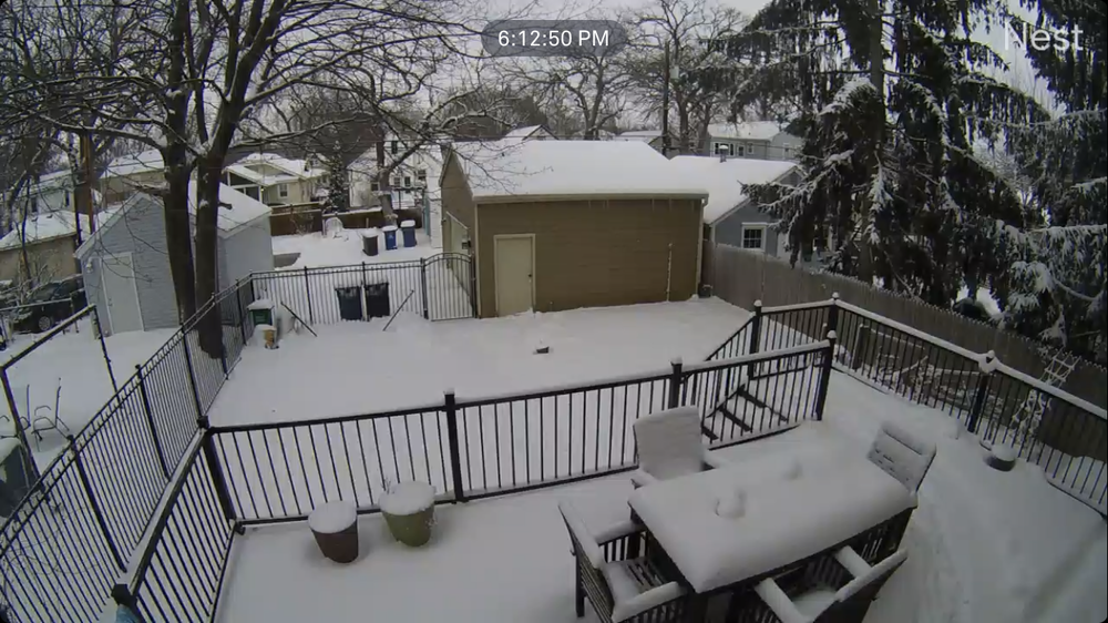
-
March 2024 General Discussion
OrdIowPitMsp replied to HillsdaleMIWeather's topic in Lakes/Ohio Valley
That map is low for the twin cities. 72hr accumulations are around 10-12” -
March 2024 General Discussion
OrdIowPitMsp replied to HillsdaleMIWeather's topic in Lakes/Ohio Valley
Rip city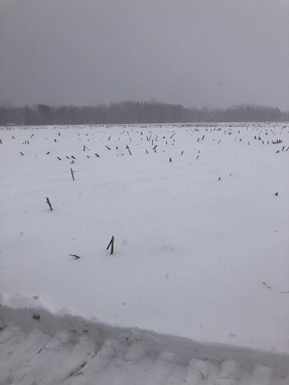
-
March 2024 General Discussion
OrdIowPitMsp replied to HillsdaleMIWeather's topic in Lakes/Ohio Valley
3.5” at MSP at the 1pm measurement. Still snowing steadily with some heavier returns that’ll rotate through later this afternoon. Minneapolis has now seen 14.7” of snow since Thursday evening. We were at 14.3” season to date before this period of active weather began. -
March 2024 General Discussion
OrdIowPitMsp replied to HillsdaleMIWeather's topic in Lakes/Ohio Valley
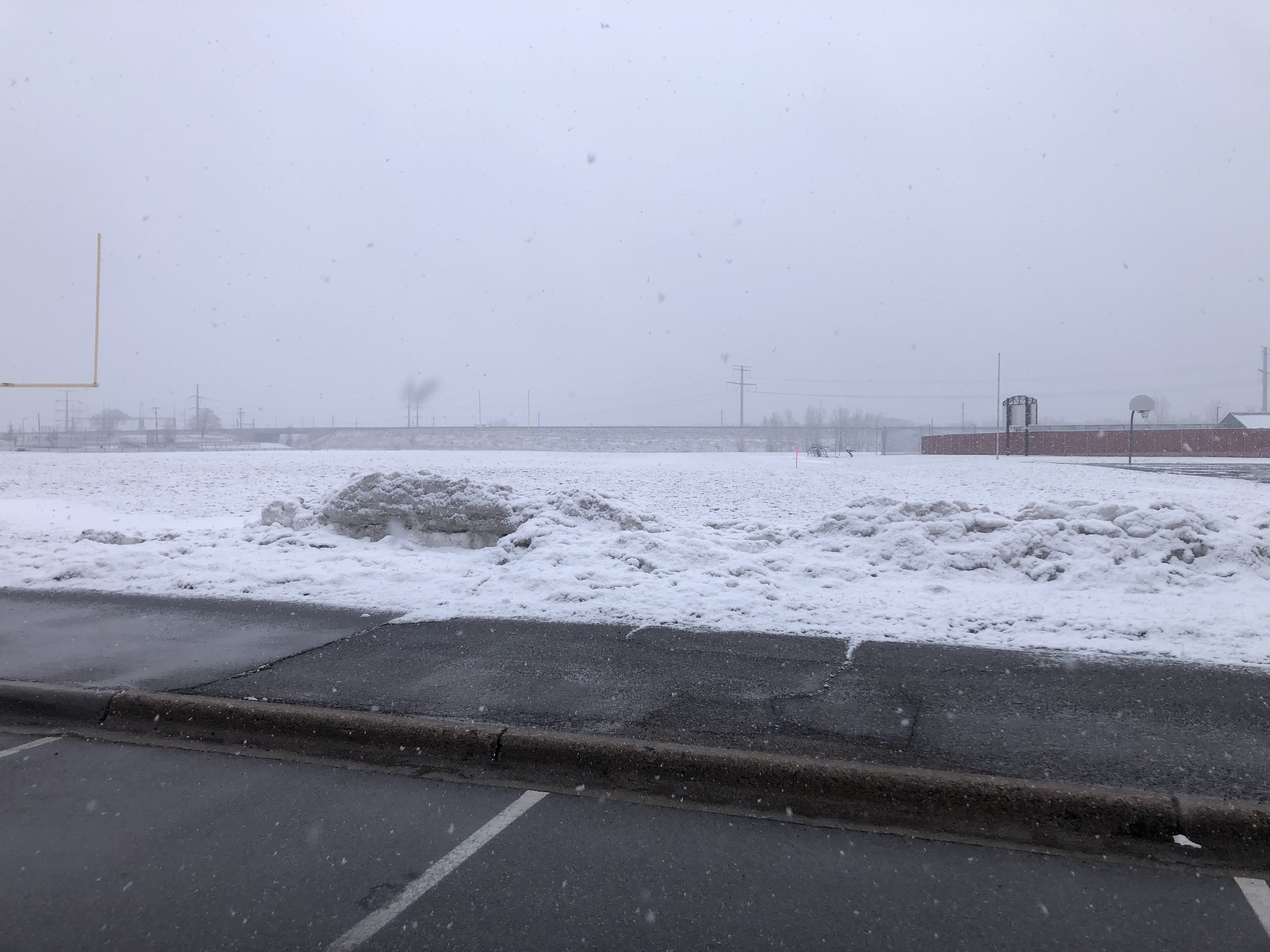
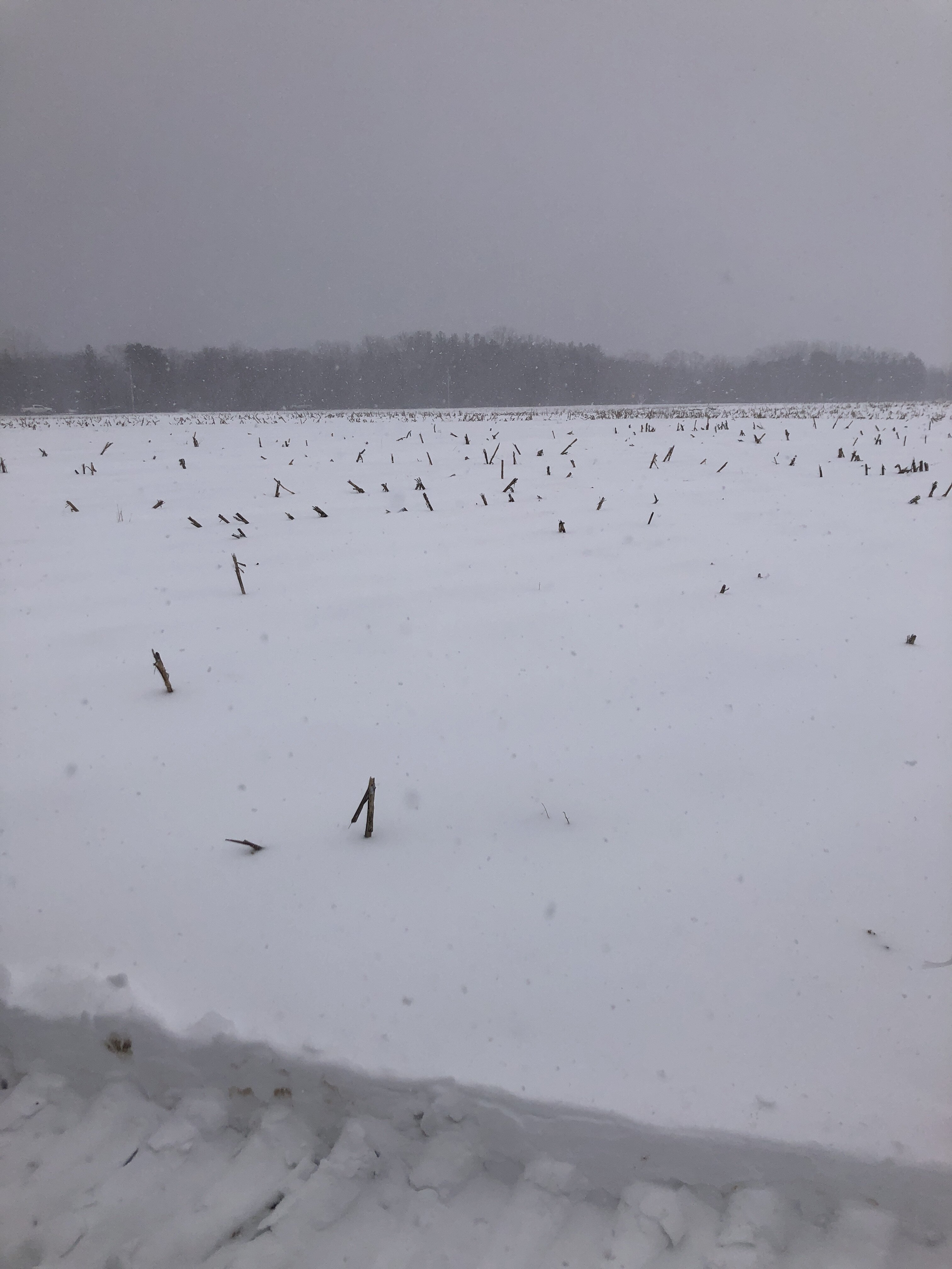
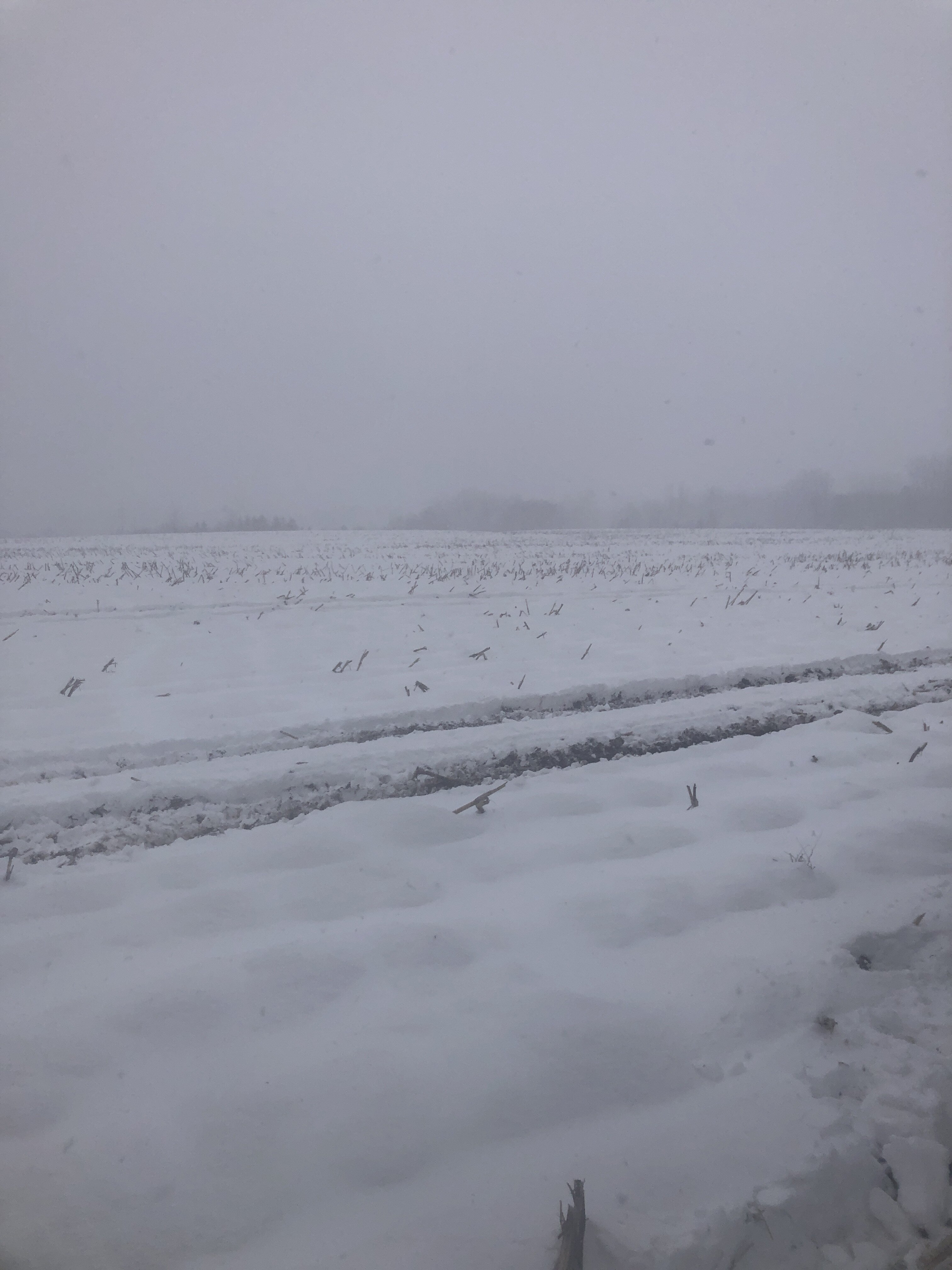
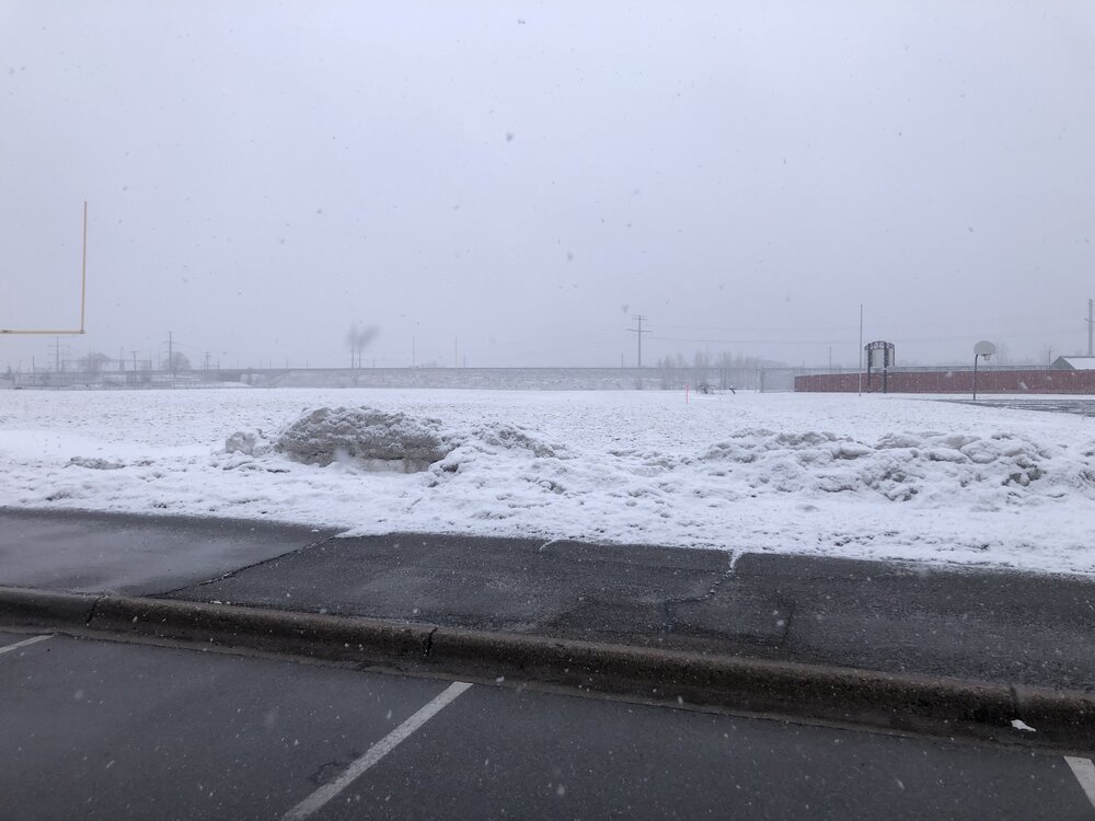
My office is a cornfield in Lino Lakes today.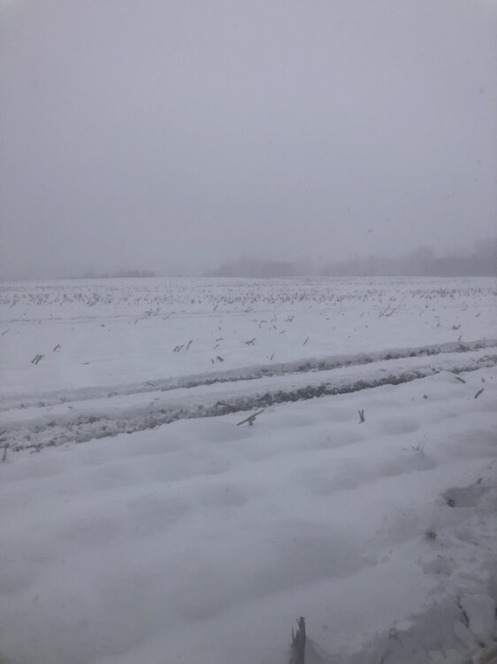
-
March 2024 General Discussion
OrdIowPitMsp replied to HillsdaleMIWeather's topic in Lakes/Ohio Valley
Absolutely puking snow. Roads are completely covered. Building up that late March snowpack. This storm has been awesome. Finally kicked the doldrums of nothingness we’ve been in for months. -
March 2024 General Discussion
OrdIowPitMsp replied to HillsdaleMIWeather's topic in Lakes/Ohio Valley
This season has reminded me how true this is for our region. I won’t give my final season grade until 4/15 at the earliest and this storm has likely bumped it up a half letter. WWA hoisted for a couple more inches of snow with the deformation band as we fall back below freezing overnight into tomorrow morning. There will be a rock solid glacier by Wednesday, which looks downright frigid for late March. -
March 2024 General Discussion
OrdIowPitMsp replied to HillsdaleMIWeather's topic in Lakes/Ohio Valley
Quite a late season rally for Minneapolis. We’ve moved to 18th least snowy season all time and should be outside the top 20 after the deformation snows tomorrow. 25.6” season to date. -
March 2024 General Discussion
OrdIowPitMsp replied to HillsdaleMIWeather's topic in Lakes/Ohio Valley
There was a period of 1-2”/hr rates before the changeover but I was asleep. It’s absolutely puking snow in White Bear Lake. From downtown on north it’s all snow right now and the roads are getting covered again. Silver dollar size flakes. Home and the airport are reporting a mix. -
March 2024 General Discussion
OrdIowPitMsp replied to HillsdaleMIWeather's topic in Lakes/Ohio Valley
This is pure heart attack snow. Compacting into sludge and slush very quickly on paved surfaces. This is our biggest snowstorm of the year and I’m even happier about all the much needed moisture we are receiving. -
March 2024 General Discussion
OrdIowPitMsp replied to HillsdaleMIWeather's topic in Lakes/Ohio Valley
8.2” storm total as of 1am. Transitioning over to liquid precipitation now. -
March 2024 General Discussion
OrdIowPitMsp replied to HillsdaleMIWeather's topic in Lakes/Ohio Valley
3.0” at MSP as of 7pm. Classic spring snowstorm. -
March 2024 General Discussion
OrdIowPitMsp replied to HillsdaleMIWeather's topic in Lakes/Ohio Valley
Looked like some gravity waves down in the I-90 corridor heading north too. -
March 2024 General Discussion
OrdIowPitMsp replied to HillsdaleMIWeather's topic in Lakes/Ohio Valley
Sun starting to set, heavy returns incoming upstream. This is where we start stacking flake efficiently. It’s been steadily snowing all afternoon but probably only 2.5” accumulation. It’s been an awesome day of watching the snowfall with my kid. -
March 2024 General Discussion
OrdIowPitMsp replied to HillsdaleMIWeather's topic in Lakes/Ohio Valley
Getting some steady light snow now. Still not entirely sure what to expect besides waking up to rain tomorrow. -
March 2024 General Discussion
OrdIowPitMsp replied to HillsdaleMIWeather's topic in Lakes/Ohio Valley
Getting into nowcast time and I still have no idea what to expect. Could see a sloppy 5-6” and then changeover to rain or we might stay frozen longer and pile up 12” before changeover. Model mayhem! -
Spring/Summer '24 Banter and Complaint Thread
OrdIowPitMsp replied to IWXwx's topic in Lakes/Ohio Valley
I’ve got another month or so until I can grade this winter but preliminary results yield a D- -
March 2024 General Discussion
OrdIowPitMsp replied to HillsdaleMIWeather's topic in Lakes/Ohio Valley
Bottomed out at 18 here this morning under what remains of yesterdays snow. NWS is really stressing that snow depth will be much lower then final storm totals due to compaction/rain. They must be prepared for the onslaught of complaints when a location reports 12” and there’s only 6-7” in peoples backyards. -
March 2024 General Discussion
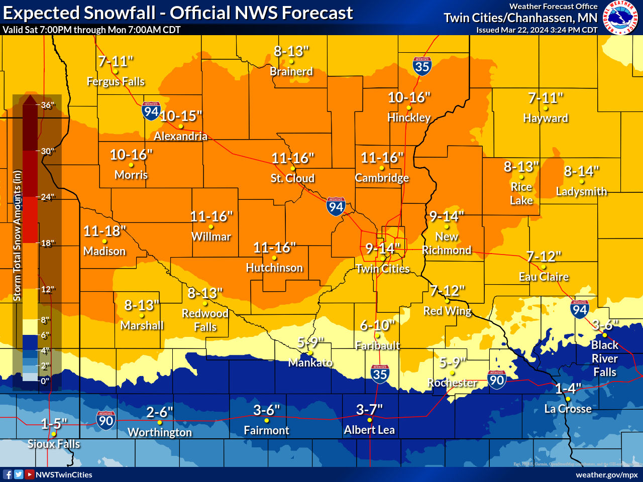
OrdIowPitMsp replied to HillsdaleMIWeather's topic in Lakes/Ohio Valley
Current NWS thinking, this only goes out to Monday morning when it’ll be switching to rain in the metro but still hammering points NW. There could be some 24”+ totals across central/north central Minnesota. I’m expecting the low to bump a bit north of current guidance and cut totals some more here but hopefully the opposite happens.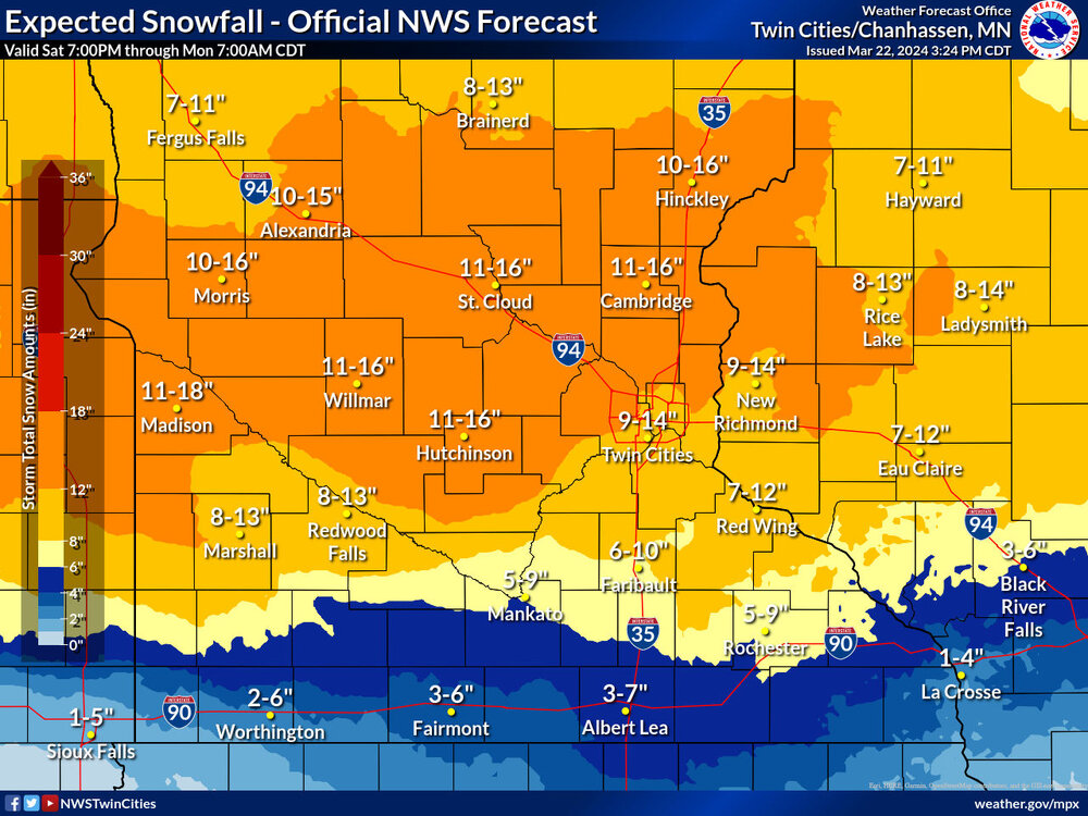
-
March 2024 General Discussion
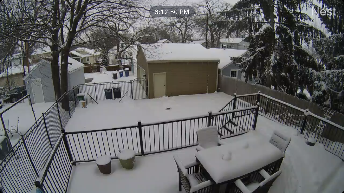
OrdIowPitMsp replied to HillsdaleMIWeather's topic in Lakes/Ohio Valley
Measured 3” on the deck. I’m sure there’s been some compaction. Snowing lightly so we might add a little more.