OrdIowPitMsp
-
Posts
2,804 -
Joined
-
Last visited
About OrdIowPitMsp

Recent Profile Visitors
15,387 profile views


-
WRONG! I guess my information was bad, this puts us in 3rd place. The record is 14 days in 1936, followed by 11 days in 1948. There was a logjam at 3rd place but 2026 will now hold the spot.
-
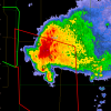
0.17” of precipitation from the dying line of convection this morning
-
Today is the 10th consecutive 90 at MSP, setting a new record. (False) While the daily high temperatures weren’t noteworthy, the duration certainly was. I’d classify this as a historic heatwave around Minnesota.
-
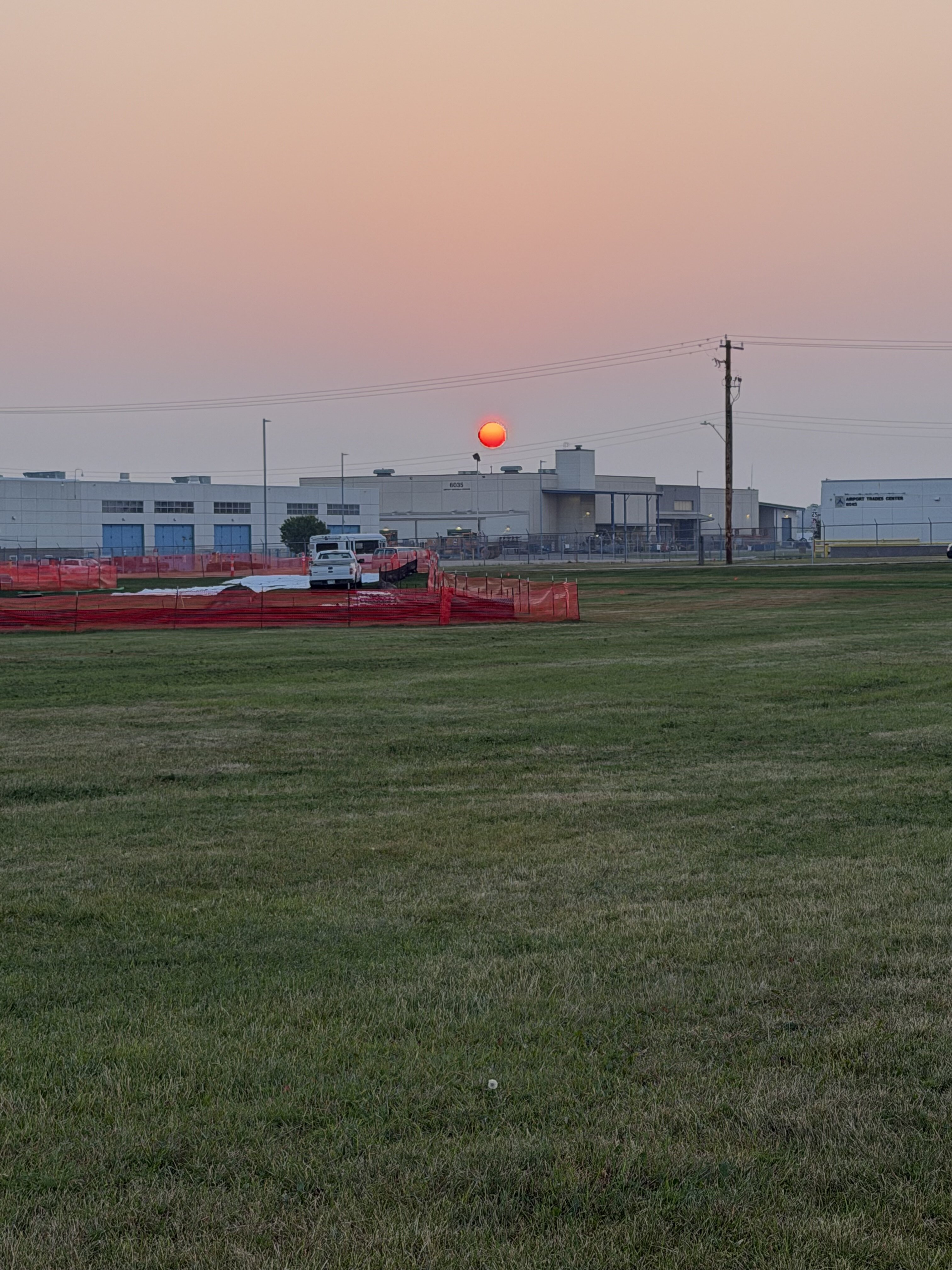
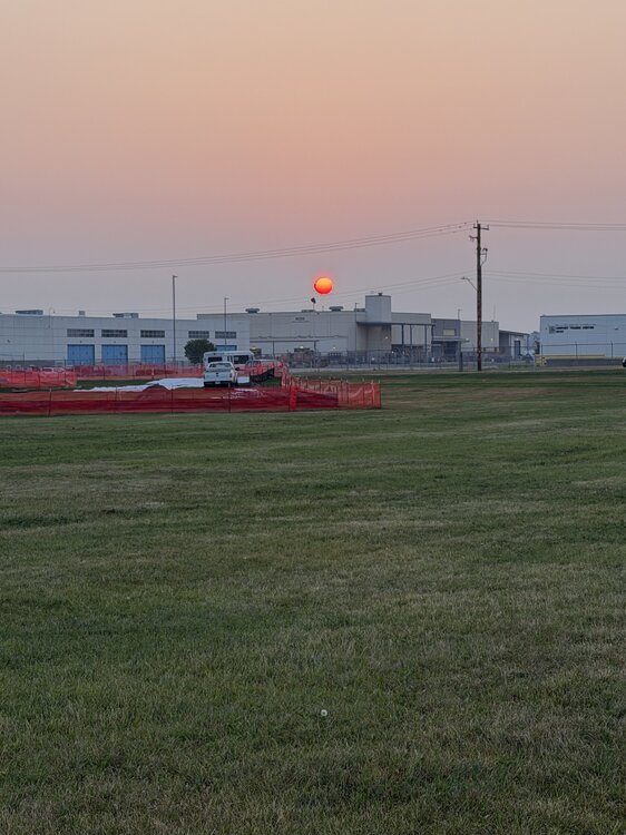
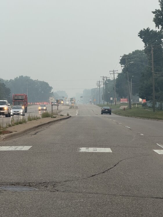
Smoke is back. Sunrise at the airport dog park this morning.
-
Blessed to have traded AQI for Dews. I’ll take an AQI of 56 with a 70 DP over what we endured yesterday.
-
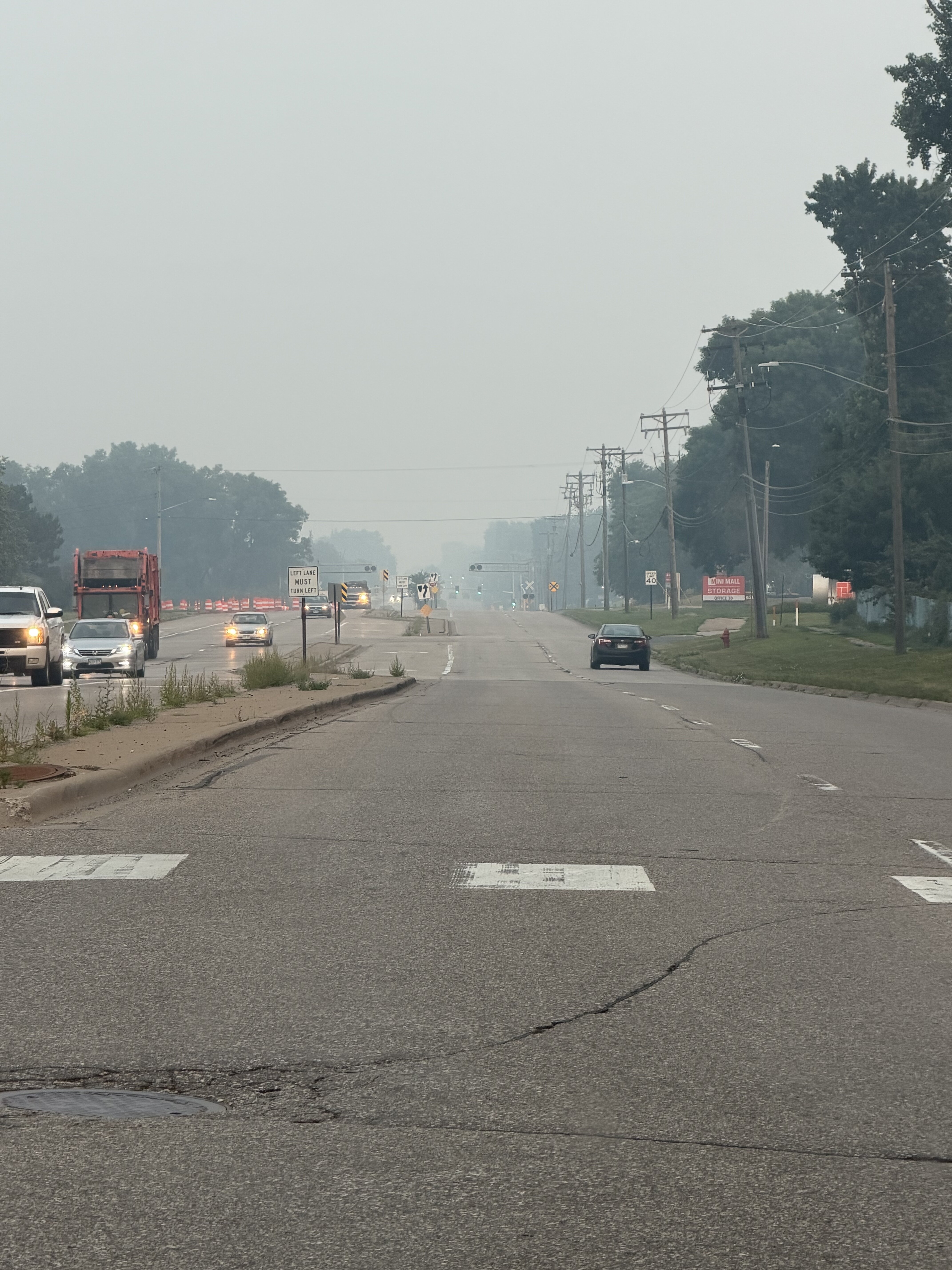
Smoke has on a relative sense moved out of my area. AQI below 200 and visibly has improved to 8-9mi after being 1-3mi most of the day. Historic smoke event without a doubt.
-
Not being forced. I have stop work authority and plan on exercising it today.
-
530 was the peak AQI in Minneapolis overnight. Eyes and throat burn working outside in this crap. Good times
-
AQI is 483 right now in Minneapolis.
-
Smoke hit like a freight train a few minutes ago. I don’t miss that pungent odor one bit
-
Multiple monitors from Duluth to Marquette in the 600-800+ range. Can’t remember ever seeing anything above 600. So far no smoke here, but the highest dewpoints of this heatwave so far.
-
94 today. Surprised how acclimated I’ve become, but I guess the same thing happens in winter.
-
They are adding smoke to the forecast here as well. Said it might impact highs. We’ve had 4 consecutive 90+ highs and the record is 9.
-
93 for the afternoon high. Crazy having warmer temps to my north. International Falls got to 97.
-
Boundary Waters Canoe Area Wilderness being closed to all visitors for only the 2nd time ever due to extreme fire behavior and danger. Love that area so much, hope they get some storms soon.