BTRWx's Thanks Giving
-
Posts
3,209 -
Joined
-
Last visited
Content Type
Profiles
Blogs
Forums
American Weather
Media Demo
Store
Gallery
Everything posted by BTRWx's Thanks Giving
-

January 12-13th Cold Smoke Obs and Nowcast
BTRWx's Thanks Giving replied to Bob Chill's topic in Mid Atlantic
Also notice the "assuming 10:1". Very nice! -
January 12-13th Cold Smoke Obs and Nowcast
BTRWx's Thanks Giving replied to Bob Chill's topic in Mid Atlantic
I guess this thread is technically not in storm mode yet, so I think they'll need to keep it for themselves up there. -
January 12-13th Cold Smoke Obs and Nowcast
BTRWx's Thanks Giving replied to Bob Chill's topic in Mid Atlantic
hr 18 shows mixing fwinw -
January 12-13th Cold Smoke Obs and Nowcast
BTRWx's Thanks Giving replied to Bob Chill's topic in Mid Atlantic
The max potential map keeps going up. -
Tiny flurries imby
-
TTB maps look slightly better than 0z last night. h5 isobars nudged north hr24 fwiw.
-
At least wait for the euro.
-
That will be true in January.
-
GFS op is being stubborn.
-
More realistic too.
-
No it doesn't. That's a 10:1 snowfall map. Fv3 doesn't provide the depth charts yet.
-
We need the brick wall origin north of NY versus right overhead.
-
Somehow the precip shield improves on the fv3 after being a good bit south of 12Z http://mageval.ncep.noaa.gov/data/gfs/18/namer/850_temp_mslp_precip/gfs_namer_027_850_temp_mslp_precip.gif qpf http://mageval.ncep.noaa.gov/data/gfs/18/namer/precip_p24/gfs_namer_036_precip_p24.gif
-
FV3 is south, darn http://mageval.ncep.noaa.gov/data/gfs/18/namer/850_temp_mslp_precip/gfs_namer_020_850_temp_mslp_precip.gif
-
GFS op doesn't have the northern trend and it hasn't shown precip this far north at all today fwiw. There's a reason it's getting replaced!
-
Not quite there yet.
-
VA may steal NC's snow!
-
Recall the November storm.
-
Do they get retired along with the NAM I wonder?
-
Now that is a nice look!
-
Where's the qpf line relative to previous runs? eta: see SE sub
-
0z euro trend fwiw

-
hr 48 looks slightly less suppressive to the NE.
-
hr24 on the euro...choose an isobar...half go south and half go north
-
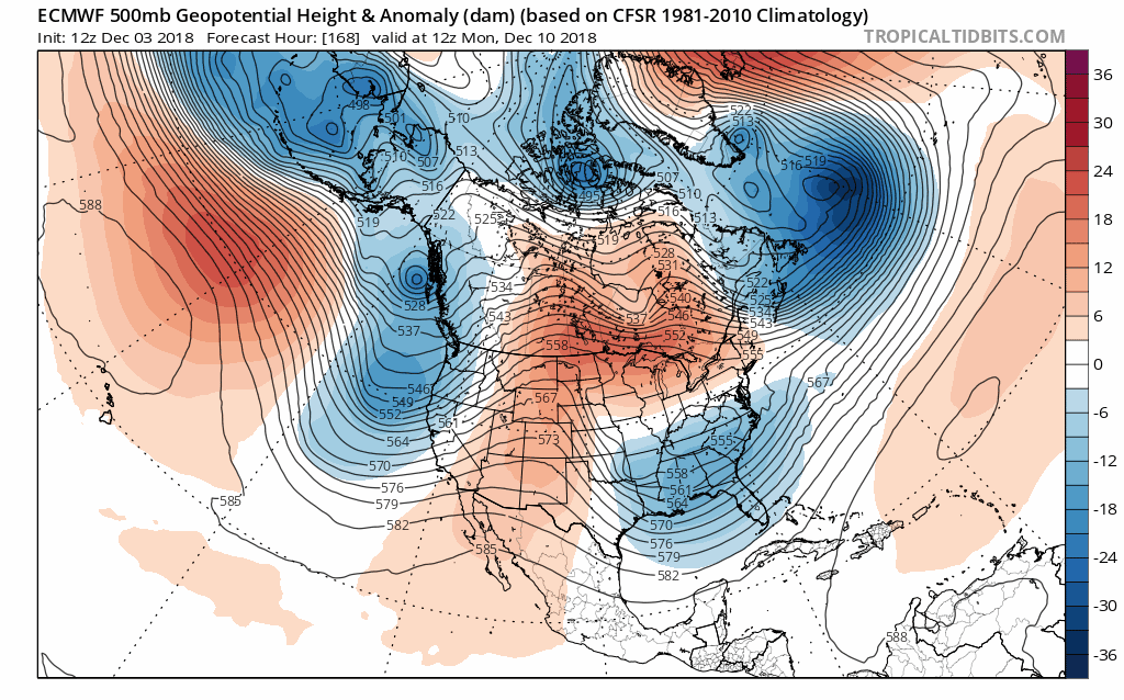
Interesting to see the trend how the ridge over central Canada strengthens. At this rate, we'll have a better chance of the New England low dropping down to phase than the weak wave out of the central U.S.