Hotair
-
Posts
539 -
Joined
-
Last visited
Content Type
Profiles
Blogs
Forums
American Weather
Media Demo
Store
Gallery
Everything posted by Hotair
-
That little eastward jog on the Sat loop has me a bit worried here in Tampa
-
Eye wall is clearing on sat. First time I see a respectable eye wall on Idalia.
-
Cuban weather radar indicates the eyewall of Idalia has closed off. Some RI is expected now. Storm is moving at a healthy 14 mph which is nearly 2x as fast as day prior. This is good as it limits the amount of uncertainty in the cone.
-
Jim Cantore arrived in Gainesville tonight and is headed to Cedar Key. recall he was at Clearwater Beach last year when Ian made landfall in Ft. Myers
-
Radio Minas from Pinar Del Rio Cuba is reporting gusts of 73.9 mph and sustained at 56 mph.
-
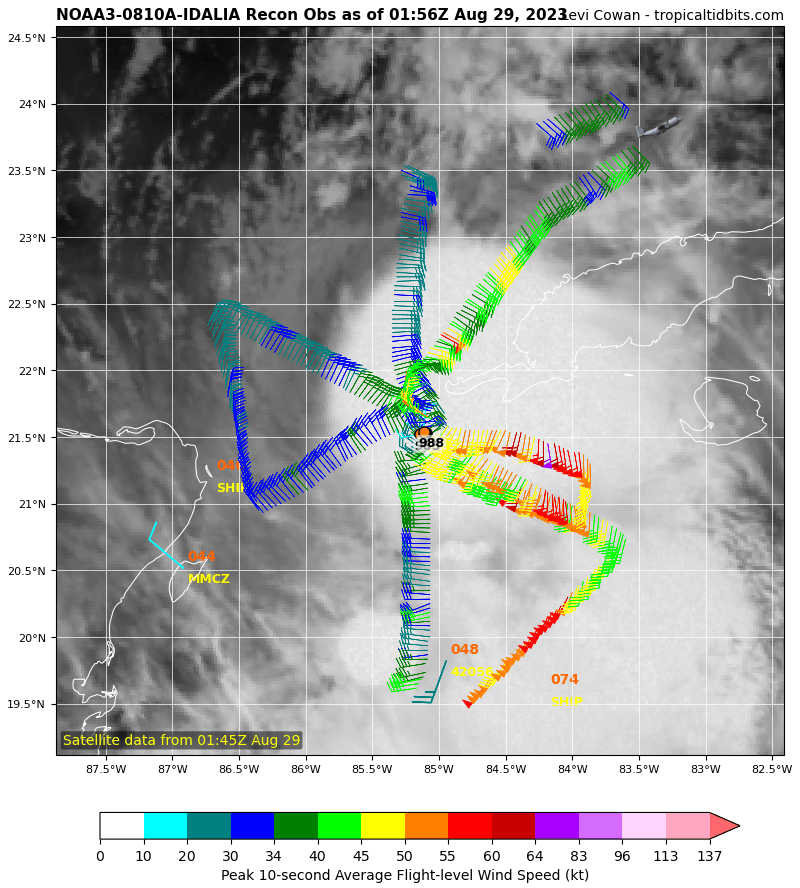
Even if the models prove accurate, Idalia’s strongest winds by far are in the SE quadrant presently. I can’t imagine a scenario where Tampa Bay region avoids seriously damaging surge as it moves toward the big bend or even Tallahassee
-
Cuban Radar
-
Operator on ham radio saying heavy rain, lightning and 50 mph gusts also some flooding in Pinar Del Rio Cuba. Power is off.
-
There’s lots of chatter now that latest models have shifted LF guidance about 30 miles West. But didn’t these runs initialize with a 20 to 30 mile westerly offset ?
-
970s? Was this validated ? Wow was in the 990s less than an hour ago.
-
You are absolutely correct. I stand corrected.
-
I’m aware of the Tampa bubble which has evaded hurricane landfalls in the region for many decades. I was not aware until tonight that the last major hurricane to hit the Big Bend was back in 1896! If Idalia slams into the region as a Cat 3 or 4 it will be the first time most of the current structures in that area get tested by a proper storm
-
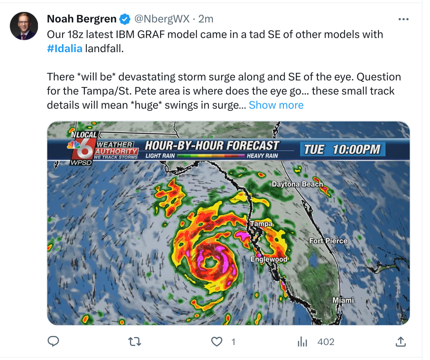
Exactly. People listening to tonight’s evening news trying to decide if they should follow evac orders certainly got a mixed message from the Mets here.
-
Can we take just a brief moment to acknowledge just how beautiful a cane that Franklin over in the Atlantic has become ? What an absolute beast!
-
Tampa TV Mets are downplaying this storm bigly. Saying this will be little more than a wind event for the area. I hope they are right in their bravado.
-
Found 983 mb on latest dropsonde Idalia may get a promotion as soon as the 8 pm advisory.
-
Satellite presentation now looks much better organized. Idalia could easily set records for RI given the hot waters in its path
-
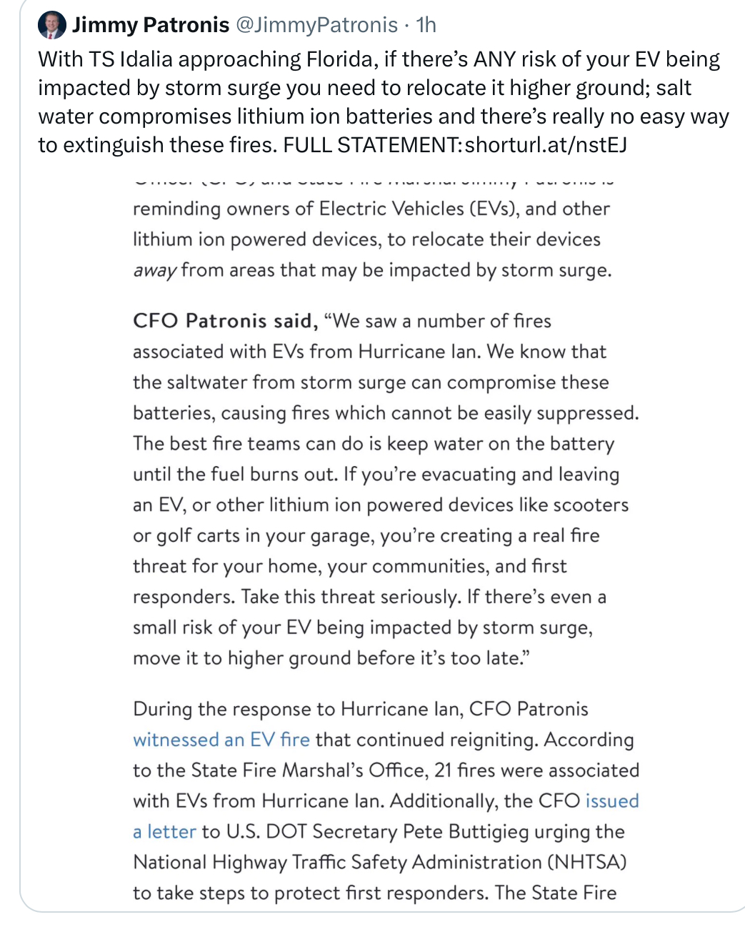
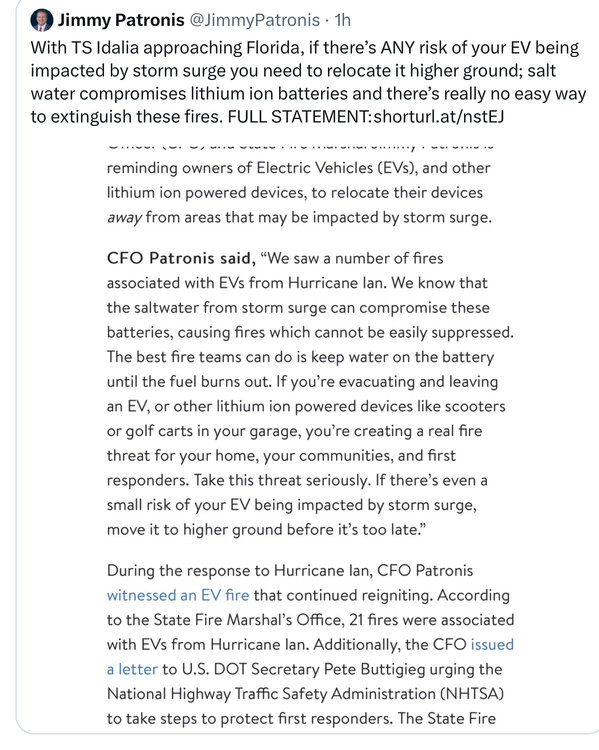
FL CFO reminds of the fire danger of leaving EVs at risk to storm surge. I just got back from my Clearwater beach condo and counted 7 teslas in the lower parking garage. I certainly hope they are moved by tomorrow. I almost wish they would all get towed if they haven’t been moved by 5 pm tomorrow
-
Nice simulation of Gulfport FL flooding due to expected storm surge from Idalia https://twitter.com/mikebettes/status/1696249278191083764?s=20
-
A glance at SST in the GoM shows nice 32+° water on the way to LF
-
Is it just me or has the northward motion stalled a bit in the last hour or so?
-
Probably great for wind claims. Not so much for storm surge I don’t recall the last time we had 7 foot surge into the bay
-
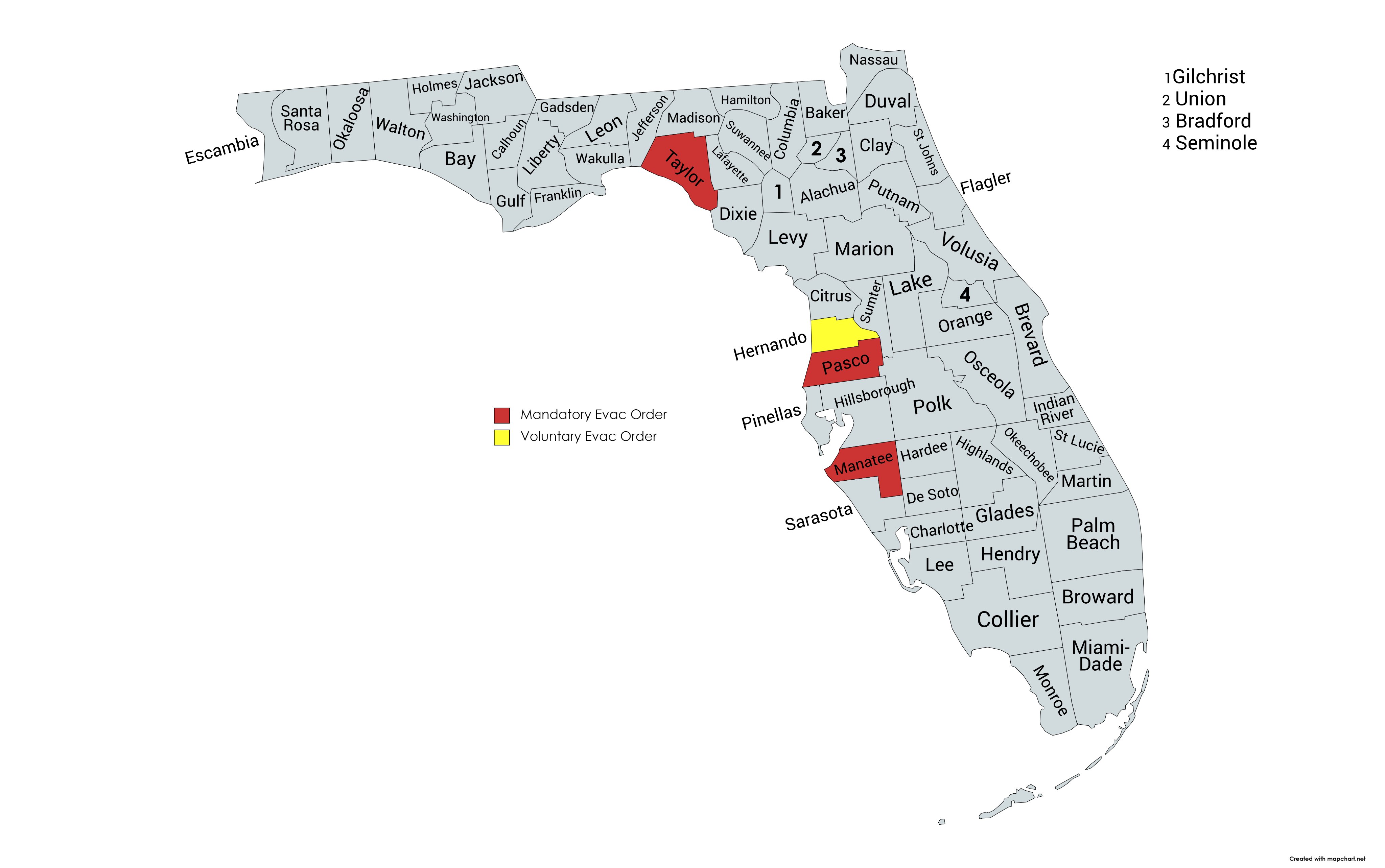
Evac orders at this time