-
Posts
623 -
Joined
-
Last visited
About KoalaBeer

Profile Information
-
Four Letter Airport Code For Weather Obs (Such as KDCA)
KPSM
-
Location:
Hampton, NH
Recent Profile Visitors
4,073 profile views
-
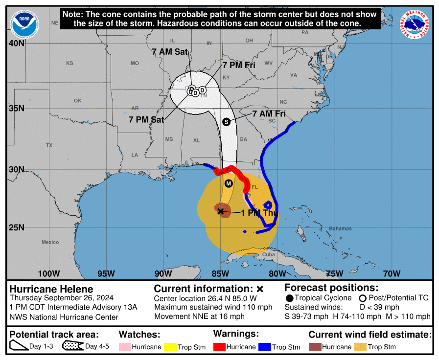
Uhh just check the NHC website.. https://www.nhc.noaa.gov/refresh/graphics_at4+shtml/154002.shtml?cone#contents
-
Agreed. I guess that why I put capture in parentheses. I think the interaction will pull it more northward then some of the eastward solutions being thrown out there is all I’m saying. I like the St Marks call for landfall as a low end Cat 4. I certainly wouldn’t let my guard down in places like TLH.
-
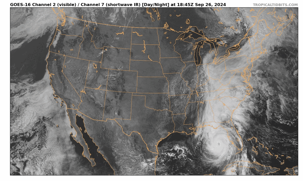
Zooming out and looking at the big picture is mesmerizing. Strongly recommend going to watch the loop and switching over to water vapor as well which highlights the interaction with the trough. Already hints of it getting “captured” which I think limits how far east this goes. Despite what others are saying I’ll stick with the NHC. https://www.tropicaltidbits.com/sat/satlooper.php?region=us&product=wv_mid
-
Fair enough. It’s not super uncommon with these high end systems. Florence is another one that comes to mind that dropped a fairly widespread 20-30+ inches.
-
-
-
Straight from the mouth of the NHC. Just read the 5 pm forecast discussion. https://www.nhc.noaa.gov/text/refresh/MIATCDAT4+shtml/242058.shtml Of equal importance to the forecast intensity is Helene's forecast size. Helene's forecast radii are at the 90th percentile of major hurricane size at similar latitudes, and therefore storm surge, wind, and rainfall impacts will likely extend well away from the center and outside the forecast cone, particularly on the east side.
-
Ya absolutely. Seen it time and time again. With enough time some systems can recapture it but that’s simply not the case here. Those broad cores can take quite a long time to reconsolidate into something that can RI. I like comparing it to some big severe weather days when people are drooling over those high STP maps. Sure there is a pristine environment for a violent TOR but the question is there a storm that is able to take advantage of it? I think your call is good even if it comes in a little weaker, it’s pretty hard to hit the nail on the head with a system like this.
-
Agreed. Despite pretty much all systems being go for intensification up until landfall it’s still to broad. Some systems just can’t get it back together after land interaction. Almost looks like it has subtropical characteristics to it. Still a dangerous storm for the TX coast and should intensify right up until landfall but I don’t think Beryl will be pulling a Harvey on us.
-
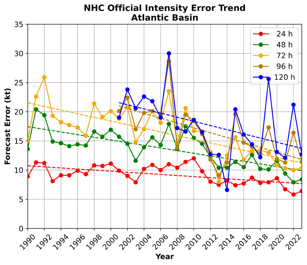
I feel like people are saying stuff like this all the time without any data to back it up…. I think it’s easy for humans to remember the storms that over performed on intensity, and not so much the forecasts that were accurate or the storms that underperformed. https://www.nhc.noaa.gov/verification/verify8.shtml https://yaleclimateconnections.org/2023/06/which-hurricane-models-should-you-trust-in-2023/
-
Some nasty looking cells popping in OK now in quite the favorable environment. At least the cell heading towards the OKC metro is looking on the downtrend as it might be getting robbed of its potential by surrounding storms.
-
Ya I don’t necessarily like tossing out numbers based of photos etc, but I’d bet my left nut this will be rated EF4+ Saw a few photos of asphalt ripped from the road as well.
-
Greenfield drone footage. No matter how many times I see it, it never ceases to amaze me how one home can be slabbed and houses a block away are relatively unscathed. Really high end damage, will have to see what the survey crews find.


