CheeselandSkies
-
Posts
3,143 -
Joined
-
Last visited
Content Type
Profiles
Blogs
Forums
American Weather
Media Demo
Store
Gallery
Everything posted by CheeselandSkies
-
We've been close to or in the sweet spot with this one for a while...and surprisingly that hasn't really changed. Should be interesting when I'm trying to leave work around midday Friday. @madwx I just realized how similar our avatars are ever since I changed mine to a frame from my Keota tornado video; horizon and debris cloud are at about the same level, only difference is my foreground is drab brown since it was taken in March.
-
Not trusting it, merely commenting on it.
-
That 18Z HRRR gives some parts of southern WI and far northern IL nearly 1" in an hour toward the end of the run with the snow far from over. Sorry, south of I-80 (possibly even I-88) folks.
-
12Z Euro deepens 8 MB in 6 hours, from 981 at 18Z Friday to 973 at 00Z Saturday. Wasted QPF, bad ratios or not, a storm of this intensity is going to have significant, varied, and dangerous impacts across a large area. There could even be a storm surge in much of New England/Long Island with that strong, broad southerly fetch blowing into the low Friday night.
-
Not as much as the HRRR, though.
-

Winter '23-'24 Piss and Moan/Banter Thread
CheeselandSkies replied to IWXwx's topic in Lakes/Ohio Valley
There's always gotta be one... -
06Z GFS does this weird thing where it moves the low southeast on Friday morning. 992mb over central MO at FH054, 989mb over the AR/MS/TN confluence at FH057. What gives? 12Z NAM looks $$$ for WI and western to northern Lower MI.
-
Not bad consistency on placement and intensity 36 hours apart:
-
1/8-1/10 Potential Winter Storm
CheeselandSkies replied to Thundersnow12's topic in Lakes/Ohio Valley
Getting under some of the heaviest returns of the event here. 8" reported at Muscoda, WI. -
So the question is, why does the guidance (across multiple models and multiple ensemble members) keep showing them until relatively close in time?
-
Winter '23-'24 Piss and Moan/Banter Thread
CheeselandSkies replied to IWXwx's topic in Lakes/Ohio Valley
Nice. I'm mentioned on here previously that during the winter storm of early December, 2009 when we got about a foot of wet cement (I can only guess what ratios were, but definitely less than 10:1), my dad had a snowblower attachment for his John Deere 112 garden tractor, but being a single stage it was useless for throwing that stuff. -
Winter '23-'24 Piss and Moan/Banter Thread
CheeselandSkies replied to IWXwx's topic in Lakes/Ohio Valley
Is that a 2-stage (has a blower inside the chute in addition to the auger)? -
Whoops, GFS wasn't done deepening:
-
Save worthy:
-
I joined this board in 2017 and I think this is the first winter where the mantra of "January will be rockin'" might actually come to fruition, at least starting in the first half of the month.
-
1/8-1/10 Potential Winter Storm
CheeselandSkies replied to Thundersnow12's topic in Lakes/Ohio Valley
2 MB from Janesville to Madison, that is quite a gradient. Winds will be cranking with this one. -
Because it is a big dog. ...at least, it should be for someone. As to who at this point is anyone's guess.
-
Winter 2023/24 Medium/Long Range Discussion
CheeselandSkies replied to Chicago Storm's topic in Lakes/Ohio Valley
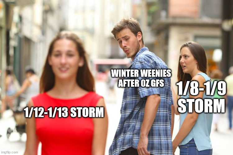
Euro is high end across a wide swath of the region with the multiple systems through Saturday 1/13. -
1/8-1/10 Potential Winter Storm
CheeselandSkies replied to Thundersnow12's topic in Lakes/Ohio Valley
Would be ironic if this northwest-trended all the way to a Twin Cities/northern WI event. NAM definitely giving some pause in that regard. -
1/8-1/10 Potential Winter Storm
CheeselandSkies replied to Thundersnow12's topic in Lakes/Ohio Valley
As things stand now in the ashes of those insane runs on Friday, the later week/following weekend system could use some northwest trend (from my standpoint), so -
1/8-1/10 Potential Winter Storm
CheeselandSkies replied to Thundersnow12's topic in Lakes/Ohio Valley
-
1/8-1/10 Potential Winter Storm
CheeselandSkies replied to Thundersnow12's topic in Lakes/Ohio Valley
18Z NAM still doing that thing where it weirdly sends the surface low way further north. You'd think, with the triple point going across the IA/IL/WI border region, it would be setting the stage for a midwinter Midwest outbreak; but the moisture still stays confined to the immediate Gulf coastal region. Would love that track if it was April or May (heck, even March, that's gotten it done plenty of times in this region in recent years). -
1/8-1/10 Potential Winter Storm
CheeselandSkies replied to Thundersnow12's topic in Lakes/Ohio Valley
Ironic. Just yesterday our chief met where I work was talking about how it's trending east and he was expecting snow totals over southern Wisconsin to decrease enough that he could cancel the "Alert Day" for Tuesday. -
Winter 2023/24 Medium/Long Range Discussion
CheeselandSkies replied to Chicago Storm's topic in Lakes/Ohio Valley
06Z GFS deepens 13mb in 6 hours, goes from 984mb at FH165 to 971mb at FH171 and still rapidly deepening. Edit: 967mb over the southern tip of Lake Michigan at FH177, then goes right up the spine of the lake, still deepening. This is the type of storm that sinks ships. -
Winter 2023/24 Medium/Long Range Discussion
CheeselandSkies replied to Chicago Storm's topic in Lakes/Ohio Valley