CheeselandSkies
-
Posts
3,206 -
Joined
-
Last visited
About CheeselandSkies

- Birthday January 17
-
As of this past Monday the signal was strong enough for me to book PTO for this coming Monday-Wednesday so that I can chase Sunday-Monday and perhaps Tuesday. Based on modeling over the last few days, currently will probably target somewhere along the central to western KS/NE border on Sunday and north-central to northeast Iowa for Monday, although tornado parameters look potentially dangerous into Wisconsin.
-

Spring 2025 Medium/Long Range Discussion
CheeselandSkies replied to Chicago Storm's topic in Lakes/Ohio Valley
I was living in Milwaukee at the time and I recall it being bone dry from "Morch" onward. -
Spring 2025 Medium/Long Range Discussion
CheeselandSkies replied to Chicago Storm's topic in Lakes/Ohio Valley
Getting a nice round moving through the state line region this AM. After drought concerns in the late winter due to the lack of snow, April showers have been in plentiful supply. This ain't gonna be 2012, at least around here. -
2025 Short Range Severe Weather Discussion
CheeselandSkies replied to Chicago Storm's topic in Lakes/Ohio Valley
12Z HRRR and 3K NAM both fire a supercell in south-central WI this afternoon, and this one has some surface-based instability to work with... Chase mode activated? We shall see. -
2025 Short Range Severe Weather Discussion
CheeselandSkies replied to Chicago Storm's topic in Lakes/Ohio Valley
As per the other posts, was a pretty significant hail event by our standards. The station I work at was wall-to-wall or nearly wall-to-wall from shortly after the first thunderstorm warning went out at around 5:10, until the storms cleared the Madison broadcast market shortly before 8:00. -
2025 Short Range Severe Weather Discussion
CheeselandSkies replied to Chicago Storm's topic in Lakes/Ohio Valley
3K NAM has been reluctant to fire convection tomorrow since it came into range, but 18Z HRRR actually doesn't look terrible parameter space-wise around the WI/IL border region, and fires storms around 23-00Z. -
2025 Short Range Severe Weather Discussion
CheeselandSkies replied to Chicago Storm's topic in Lakes/Ohio Valley
Today's Euro runs would have a decent threat into parts of the sub on Sunday. GFS is nowhere near as impressive. Basically a complete 180 from their respective positions on tomorrow's threat at a similar range. -
Spring 2025 Medium/Long Range Discussion
CheeselandSkies replied to Chicago Storm's topic in Lakes/Ohio Valley
12Z NAM is way slower, has the greatest threat back in central NE/KS at 0Z Friday (Thursday evening). Meanwhile Euro shows pretty meager moisture. GFS has looked pretty good over IA for a few runs, but it's really by itself with that. If the GFS is in fact being too progressive, I could see Friday actually being a significant day somewhere in the E IA/N IL/S WI region. -
Spring 2025 Medium/Long Range Discussion
CheeselandSkies replied to Chicago Storm's topic in Lakes/Ohio Valley
GFS suddenly looks pretty good over southwestern Iowa (last year's hot spot) on Thursday evening. However Euro is not nearly as aggressive with the moisture. -
60th anniversary of Palm Sunday '65. The very definition of a Midwest regional outbreak affecting each IA, IL, WI, MI, IN, OH with significant tornadoes. Nothing else comes close for this part of the country, even though a few have flashed potential (like 3/31/23).
-
I really appreciate that despite chances repeatedly coming up in my local forecast the last few days, it hasn't actually snowed. Now can we get some real warmth and legit chances north of I-80, please?
-
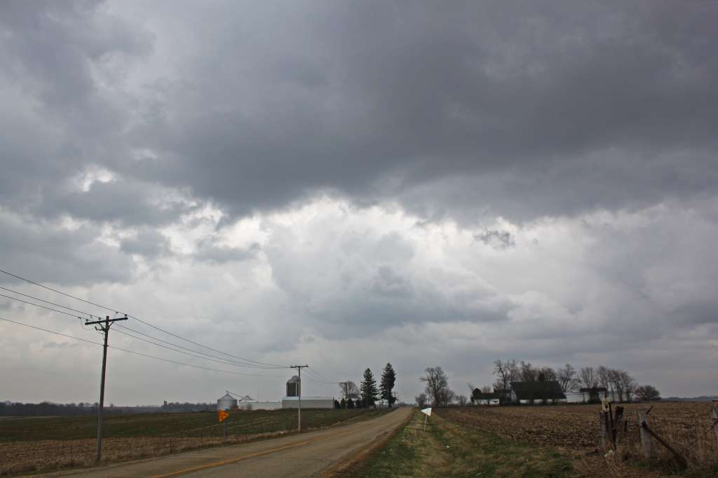
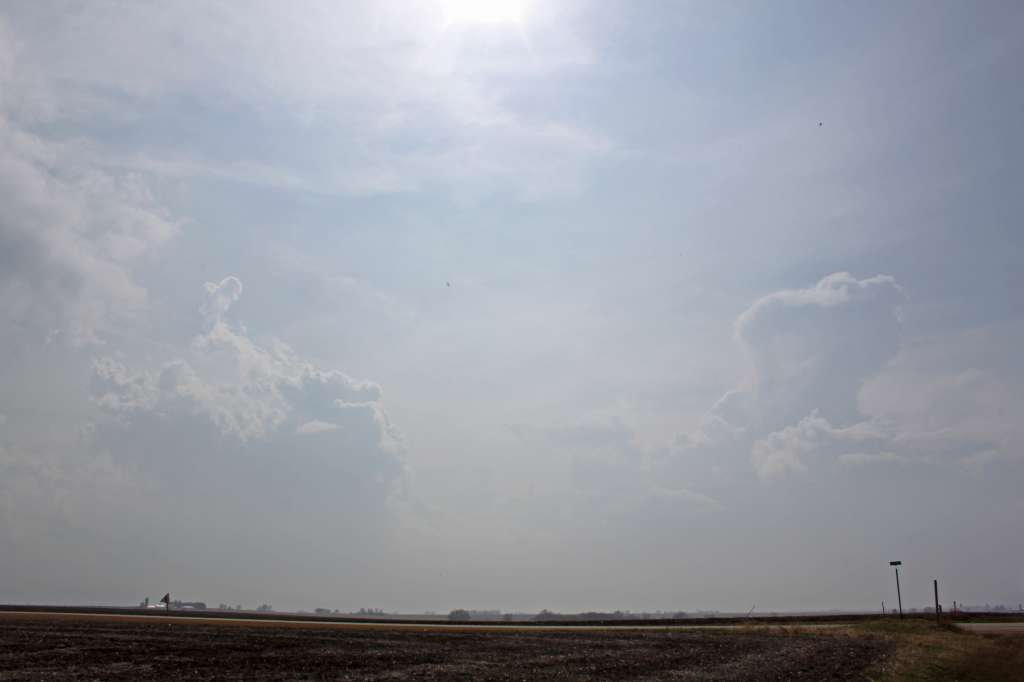
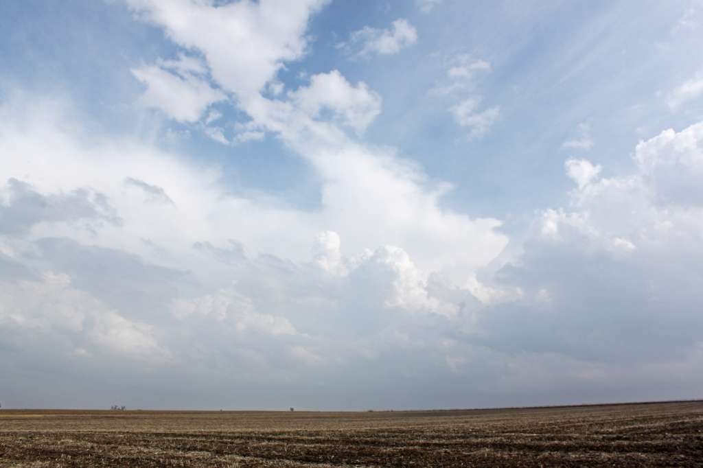
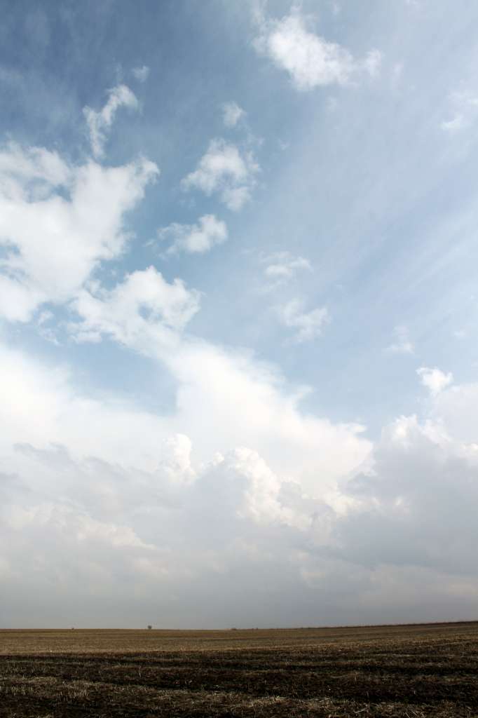
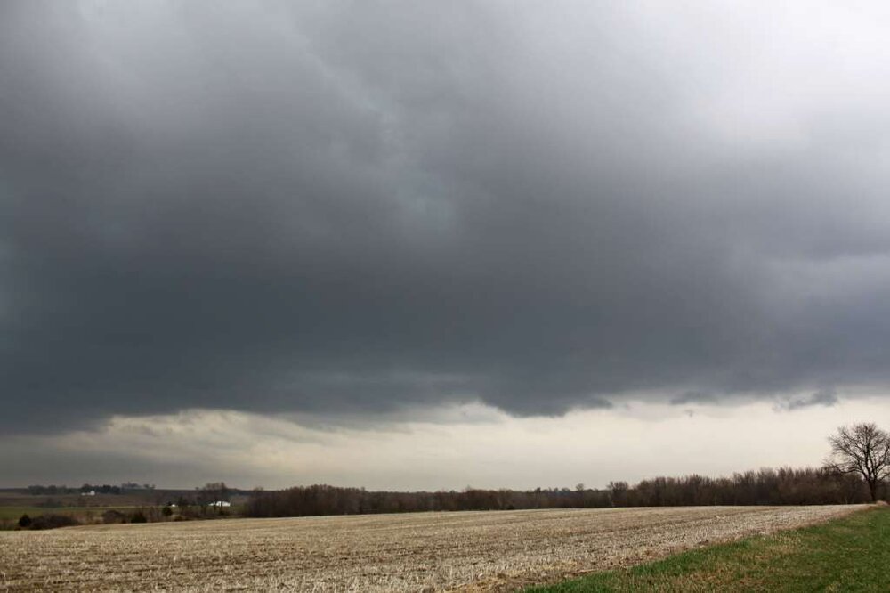
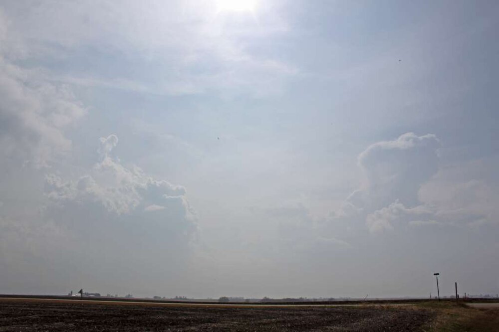
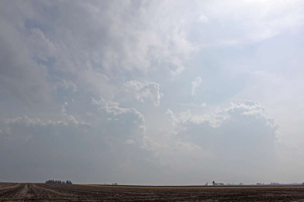
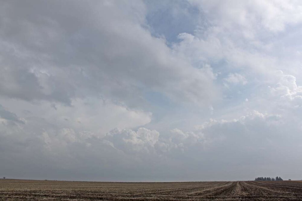
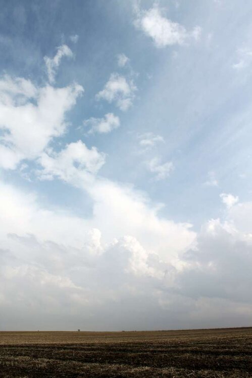
It's the 10th anniversary of the Rochelle-Fairdale EF4. One of the few truly spectacular, high-end, Plains-style tornadoes in this sub north of I-80 (and especially for north of I-88) in modern memory. For me, it was the second demoralizing miss of a spectacular tornado event in as many years. These photos were taken between 3 and 4 PM along Illinois Highway 26 just north of Forreston, a little over 20 miles from where the tornado would touch down about 90 minutes later. Just as I thought I'd broken through the warm front, I kept encountering more showers (I now realize these were the incipient updrafts that amalgamate over time to form tornadic supercells in these type of events). Even as things cleared out and I started to see bubbly cumulus, I felt it was still too cool at the surface and too late in the day for sufficient destabilization. I decided it would probably play out similar to the previous year's April 28th, which I had also chased (apart from the moderate/later high risk down south, that day was also expected to be favorable for tornadoes closer to the main surface low in northern Illinois), with just a band of grungy, featureless outflow-dominant storms forming. On top of this, the "CHECK ENGINE" light in the car I had at the time (2005 Ford Focus hatchback) had come on during the drive down, and I didn't know how serious it was. I drove home only to pull up GR Level 3 on my desktop just as the monster hook and velocity couplet appeared. Pretty sure I literally banged my forehead into my desk several times.


-
18 degrees this morning and still saw my first robin of spring.
-
4/2-4/3 Potential Major Severe WX Outbreak
CheeselandSkies replied to Geoboy645's topic in Lakes/Ohio Valley
3K NAM hinted at this which is one of the reasons I didn't drive 4-5 hours into IL. I think if we got some heating a little earlier (and maybe less midday convection in IL interdicting the moisture return) we could have had something more significant up this way. -
4/2-4/3 Potential Major Severe WX Outbreak
CheeselandSkies replied to Geoboy645's topic in Lakes/Ohio Valley
New warning with cell in northern part of Dane Co.