
PowderBeard
-
Posts
2,002 -
Joined
-
Last visited
Content Type
Profiles
Blogs
Forums
American Weather
Media Demo
Store
Gallery
Posts posted by PowderBeard
-
-
35 minutes ago, radarman said:
LOL nice
. And with not much officially open, we decided to pass.
Is BEast trail report legit? I know you and many others mentioned skiing just about everything but this morning they had 7 trails open. They have always had that issue though lol
-
1 hour ago, dryslot said:
I blame Phin for bringing his mid altlantic crap north for christmas.
Can he be sent back before the grinch comes?
-
 1
1
-
-
1 hour ago, radarman said:
The big zip lines are a little further ahead in that picture, but yes. It's actually the Roundabout trail. The woods on the right are all pretty darn good, but as you mention you have to walk/ski down the road to where you can cut back into the resort. Later in the winter when there are some old snowbanks from plowing you can pretty often find a ski track on top to keep sliding rather than hoof it.
Got it, thanks.
Did you get to Catamount? Kind of curious about those new trails. I remember Off Stage being a pretty fun little bump run to finish off your legs.
Reminded me of these. I was probably 12 in these pics, was after a 2-3' dump in the early 2000s. Some amazing memories with @MBRI
Off Stage

In the process of sliding 100' down Catapult and ending at the old fence that was at the top of Catamount Chair.

-
 1
1
-
-
1 minute ago, dryslot said:
I'll take a #40 with a #37 side please.
No substitutions please. If you want spare ribs you must order the #37 as well.
-
1
-
4
-
-
19 hours ago, radarman said:
Berkshire East was very busy, so we decided to forego the lift and skin up the Wilderness side , which was quiet and beautiful. Perfect temps, no wind and light snow. But afterward we rode the lift a few times and found that the handful of groomers were chalky PP and really super good, somewhat to our surprise.

Is this the back past the zip lines? Did that once before. Was unaware of the walk back down E and East Hawley Rds.
-
Got in the range today after reading the Thunderbolt Runner's FB page this morning. About 10-12" of coverage, did 2 laps down some intermediate open trees and once trip down a switchback fire road. Both are pretty rock and room/stump free. Forgot how hard it was trekking up in fresh. Been cold enough it is still super soft. If there are any Kinco's fans, their new "ski glove" is way too warm. I'll stick to my others until it's about -50 lol
-
2
-
-
Well schools might be out...
-
5 minutes ago, radarman said:
Wasn't really blower. 15-20+ at the Beast and every trail more or less fine. We skied UMass, Grizzly, Jug, Liftline with nothing underneath with only very light damage. I'm on 111 underfoot. Granted, we weren't throwing weight into big turns... skinny down the fall line, keep em floating. By noon it was skiing in well across the hill and we could be set up going forward.
Oh that is fantastic to hear. Was bummed to see those reports from Greylock area. Might have to give it a go ASAP.
-
37 minutes ago, Angus said:
Cardigan is not far from where @dendrite is reporting. @wxeyeNH lives just east (15-20 miles??) of Cardigan. Just went to the AMC's Cardigan Lodge and they are closed and appear to be reporting nothing. Ragged is due south by 15-20?? and still snowing there heavily https://raggedmountainresort.com/Mountain-Cam/
Ragged has a weird uphill policy if I remember correctly. Like 8:30am-2:30pm.
-
10 minutes ago, MRVexpat said:
Yeah Thunderbolt was my original plan but have to figure somewhere north will be better. Ascutney or Cardigan will probably be good?
Crotched has a great uphill policy - or at least they used to. West Ledges probably are not ready but the stuff past Jupiter's and some of the old east trails are probably G2G. Easy skin up too.
-
1
-
-
12 minutes ago, Angus said:
I assume that's a report you are receiving from friends, reading on a ski board or from personal observation. I was reading somewhere else this morning someone's excitement and was chuckling to my myself and hoping the poster had 1) very fat boards so they would float on the top or 2) planned to ski the fall line 'softly.' Otherwise, there was going to be a lot of damage.
Yea multiple reports from the Berks. My "fats" are 115 and the lowest I can surf on is about 8-10" of heavy wet on bare ground, not super steep, and with some minor bottoming. I wouldn't even attempt 15" of blower on bare ground. Good way to end your season early or destroy them.
-
4 minutes ago, powderfreak said:
No way it’s steep enough for that snow, ha.
That is exactly what I was thinking. Can't get enough speed. Heck the Ski the East guys got stuck in 38" of snow on some of the "flat" sections of Black Line at Magic.
-
1
-
-
Bummer there is no base. Even on the Thunderbolt it is bottoming out every turn. Happy the SVT areas got what they needed. Should compact down nicely.
-
1
-
-
1 minute ago, 40/70 Benchmark said:
It was obvious where that hole was going to plant for several days. I confirmed it playing out like that at 630am, and off to ned I went.
Yea we had about 4-5" of snow around 4:30 when I woke up, looked at the radar saw the banding way north and knew it. "Shadow banding" as Sipprell once described it to me on one of our road trips skiing. Grabbed another 3-4" between 8:30-10:30 and that was all she wrote. Storm was fun to track and learned a ton.
-
1
-
-
Those models did well that central Mass snow hole. That doughnut was showing up 4-5 days ago. 8" of fun here, I see NWS Box has a 15" spot for @HIPPYVALLEY area. Awesome stuff.

-
1
-
-
26 minutes ago, dendrite said:
RIP ford ranger. The Saturn is a distant memory. How do you guys clear 30”+? I don’t even know where to start.
Use that push-rod 4 liters of fury and blow through! If it's not, you'll see it in the spring!
-
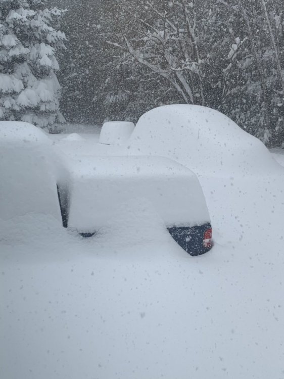
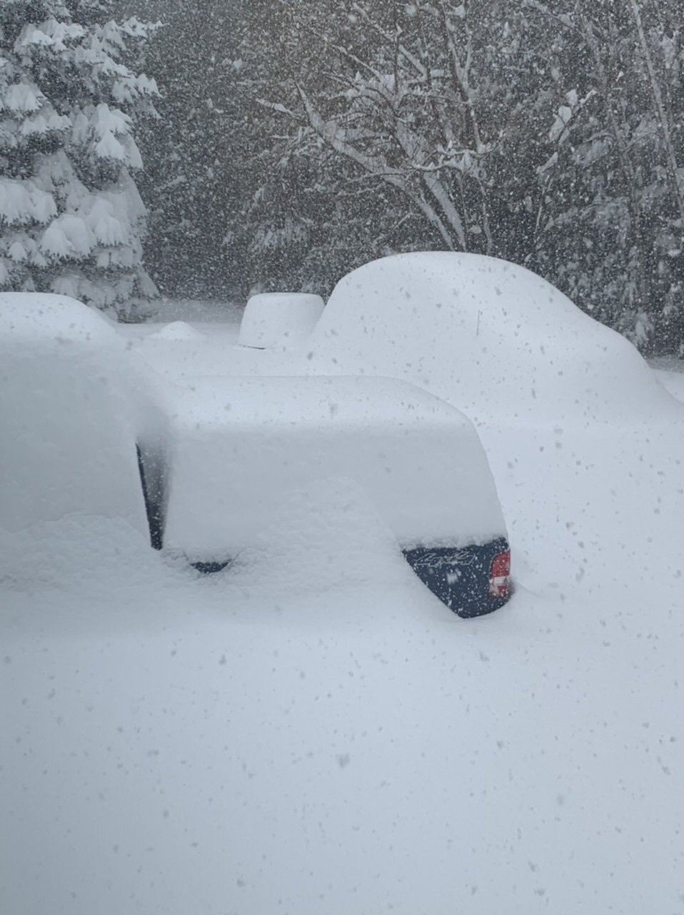
Still nuking, little edge won't leave.
-
2
-
-
Still cranking and the wind is howling. Loving it.
-
1 minute ago, powderfreak said:
Pulling out of his driveway was insane!
Yea their house is amazing and in a great spot.
-
2 hours ago, powderfreak said:
Near Magic Mountain, VT.

Cote's video of "driving a boat" was amazing.
-
3
-
 1
1
-
 1
1
-
-
4 minutes ago, HIPPYVALLEY said:
Just pouring arctic powder now. Can’t imagine what’s in store with the heavier returns pivoting up from the south.
Oh it's awesome. When you get a couple good wind gusts it will be there within 10 min.
-
1
-
-
Good gusts now, welcoming in this band.
-
7 minutes ago, CT Rain said:
RIP my mentions
LOL. Search history on Twitter forever associated with #Dickinabox.
-
1
-
-
4 minutes ago, HIPPYVALLEY said:
Our brewer cracked a double IPA at noon and I couldn’t offend her by saying no.
I didn't drink doubles until I moved to the Valley. Just done better here. They are the only beers I drink other than the occasional High Life or Silver Bullet after playing hockey. I do wish more came in 12oz cans, 16oz is a little much to get down at 9am during a 7-9 minute chairlift ride.
-
1
-
1
-

December 2020 Discussion
in New England
Posted
Can see this being the most irritating grinch of all since it is 2020. Tomorrow some models start to shift east, give us a glimmer of saving snowpack and maybe add a little, then back to big winds and rain to take it all away 00z Tuesday.