

WesternFringe
-
Posts
987 -
Joined
-
Last visited
Content Type
Profiles
Blogs
Forums
American Weather
Media Demo
Store
Gallery
Everything posted by WesternFringe
-

Jan 15-16 Storm Threat Thread: Do we finally win or get Saltburned?
WesternFringe replied to H2O's topic in Mid Atlantic
It gave me 4”, but I got “zero point zero.”- 425 replies
-
- 1
-

-
- jinx
- kiss of death
- (and 3 more)
-
Jan 15-16 Storm Threat Thread: Do we finally win or get Saltburned?
WesternFringe replied to H2O's topic in Mid Atlantic
Yeah, they are called weirdos or freaks. We are the normal ones. Right? Right?? Please say right -
Jan 15-16 Storm Threat Thread: Do we finally win or get Saltburned?
WesternFringe replied to H2O's topic in Mid Atlantic
Looks a tick west to me.- 425 replies
-
- 2
-

-
-
- jinx
- kiss of death
- (and 3 more)
-
Jan 15-16 Storm Threat Thread: Do we finally win or get Saltburned?
WesternFringe replied to H2O's topic in Mid Atlantic
If the one outlier of all the models is taken verbatim as the final solution, then you would be right. Hopefully, there is a continued move towards the GFS/CMC/UKie camp for the Euro.- 425 replies
-
- 1
-
-
- jinx
- kiss of death
- (and 3 more)
-
Jan Medium/Long Range Disco 2: Total Obliteration is Coming
WesternFringe replied to Jebman's topic in Mid Atlantic
My gut thinks it moves ever so slightly towards more amped and less flat, ticking NW only slightly. Leaving us all thoroughly confused and uncertain of the final outcome. -
Jan Medium/Long Range Disco 2: Total Obliteration is Coming
WesternFringe replied to Jebman's topic in Mid Atlantic
But when the probability maps have been encouraging, how has that worked out? Bottom line is not to put much stock into these probability maps, because they are very rarely correct. -
Jan Medium/Long Range Disco 2: Total Obliteration is Coming
WesternFringe replied to Jebman's topic in Mid Atlantic
I think you slowed it down some as to not induce seizures at the same rate. Thanks! -
Jan Medium/Long Range Disco 2: Total Obliteration is Coming
WesternFringe replied to Jebman's topic in Mid Atlantic
Agreed. Maybe slowing down the loop of the 2 images would help? -
Jan Medium/Long Range Disco 2: Total Obliteration is Coming
WesternFringe replied to Jebman's topic in Mid Atlantic
Those are the last 2 numbers in the pressure of the slp, not the enemble member number -
Jan Medium/Long Range Disco 2: Total Obliteration is Coming
WesternFringe replied to Jebman's topic in Mid Atlantic
Did you see any 70 degree days in there? No? I bet you saw the vast majority of members showing a storm on or around the 16th. That isn’t every possible outcome. That is a specific outcome of a shortwave passing by. Were some solutions warmer and some further north or further south? Sure, because the models don’t have it pinned down from 6 days out. But because of models, we know it is going to be cold and that a shortwave will be passing by the mid-atlantic. Which is why we are all in here and talking about the 16th and the 20th. How would you know that without models? And how would we know that if models were showing every possible outcome? Furthermore, the individually perturbed members are meant to be taken in aggregate, not as 70 different models. eta: I recall you saying that the cold would stay in place for the last storm and the mesos showing mixing and cold rain were wrong. Were they wrong? Or did the southerly winds at the midlevels cause mixing and rain for most? -
Jan Medium/Long Range Disco 2: Total Obliteration is Coming
WesternFringe replied to Jebman's topic in Mid Atlantic
I think you are getting closer to the way most of us think about models, but they are tools for forecasting (meteorologists literally use them as tools to do so) and they don't show every possible outcome. Without models, we would have no idea that it is going to get very cold next week, for example. Now, we don't know exactly what each shortwave is going to do 5-10 days away, but we do know the major players at 500 and the overall synoptic set-up that will drive the weather during this timeframe. -
Tuesday, January 9 Rain and Wind Storm
WesternFringe replied to Weather Will's topic in Mid Atlantic
West Augusta had and inch or two of snow this morning. School division is closed due ‘power outages and rapidly deteriorating road conditions.’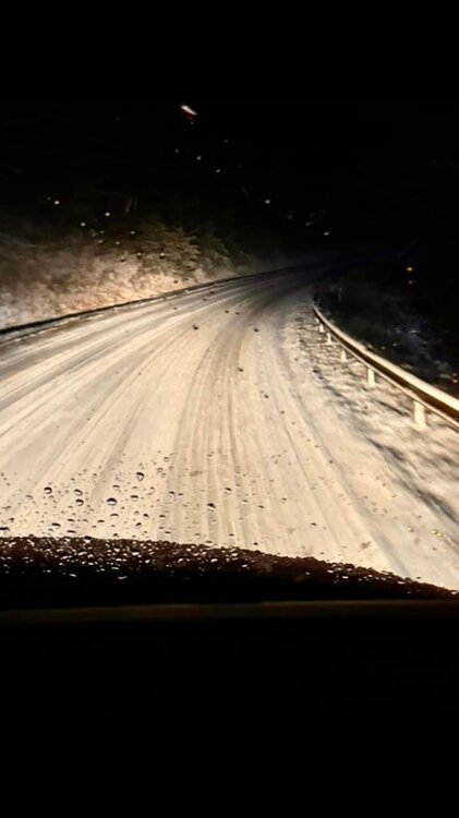
-
I have seen at least 6 flakes and I am NW of Staunton about 8 miles.
-
30° and heavy sleet with snowflakes mixing in here NW of Staunton.
-
Not sure what Stormy is looking at, but it was progged to begin as freezing rain/mix and flip to snow around 10:00 and then back to mixing around 12:00. Hoping to cash in on a couple inches of slop during the ‘good’ period. TWC sent Jim Cantore to Staunton so it must be happening! Lol eta: 30° and freezing rain and sleet
-
24
-
13 on my commute to work. 15 currently
-
Yes, always is. I notice it when comparing Pivotal maps vs TT
-
We will see. That map my shows 3-4 imby in Augusta County and we tend to do well with actual thermals compared to forecast thermals here in the northwestern parts of the county at least.
-
Hopefully it is picking up on better thermals and the ops are right with the amplitude and track. At this range, both of these can be true
-
It really has been a difficult storm for the ops and the mesos to nail down specifics like thermals. On the other hand, it seems the ensembles did well, since we have been tracking this specific sw for about 2 weeks now? Pretty impressive on their part. It struck me this week that all of my coworkers have been and are aware of this possible winter threat from 5-7 days out. A lot of progress has been made from times in the 1960s when meteorologists would say light snow tomorrow in Staunton followed by 20+” the next day (in-law family stories)
-
Current trend is telling the thread how much the latest model gets you in your own backyard. eta: looks about 9” for me! Lol
-
Would you just give all the different models’ forecasts as your prediction then? Like if you were trying to make a forecast for 5 days out? Would you just list every possibility all the dozens of models threw out? Or would you look at the guidance, use your knowledge of weather as a human, and know your climo well enough to use the models as tools to make your own forecast? eta: sorry @jayyy , I wouldn’t have replied if I saw your suggestion first
-
Yes, and if that lines sets up close to our backyards, we all hope it’s to our SE and we don’t have to walk to see snow.
-
Slightly better confluence in New England through 72

