-
Posts
1,127 -
Joined
-
Last visited
About WesternFringe

Profile Information
-
Four Letter Airport Code For Weather Obs (Such as KDCA)
KSHD
-
Gender
Male
-
Location:
Churchville, VA
Recent Profile Visitors
-

80 Degrees to Ripping Snow: March 12th
WesternFringe replied to SnowenOutThere's topic in Mid Atlantic
Sitting at 20.6" here for the season, which is below my climo by about 5". I would give this winter a B for mby. The pouring sleet at 18 degrees, the resulting 3 week glacier, and then not going above freezing for a week and a half bumped it up to a B from a C in my opinion. -

80 Degrees to Ripping Snow: March 12th
WesternFringe replied to SnowenOutThere's topic in Mid Atlantic
Karma is a bi$@#! -

80 Degrees to Ripping Snow: March 12th
WesternFringe replied to SnowenOutThere's topic in Mid Atlantic
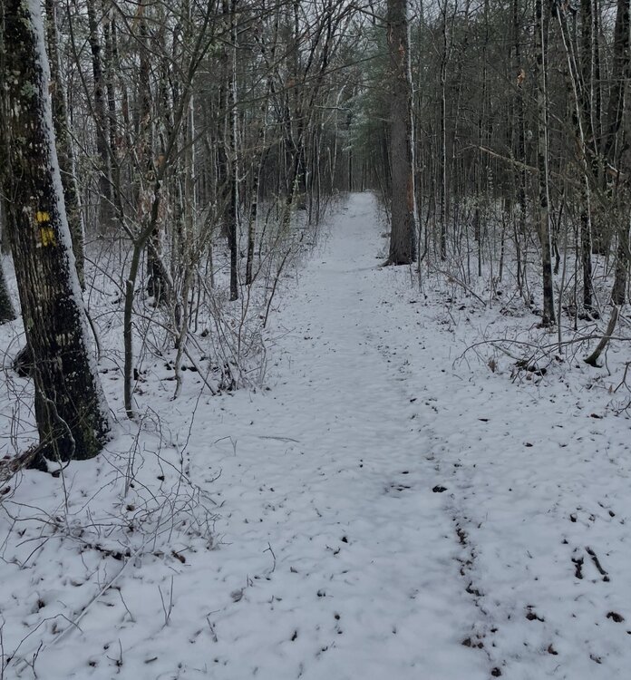
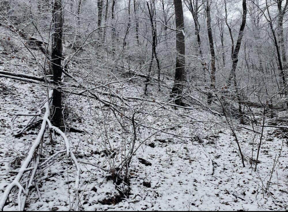
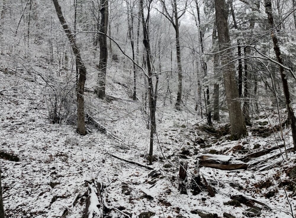
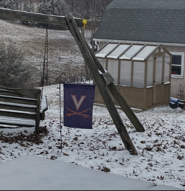
Last pics as it has moved on. I went on a snike (snow hike) just a few miles from my workplace. Beautiful!! -

80 Degrees to Ripping Snow: March 12th
WesternFringe replied to SnowenOutThere's topic in Mid Atlantic
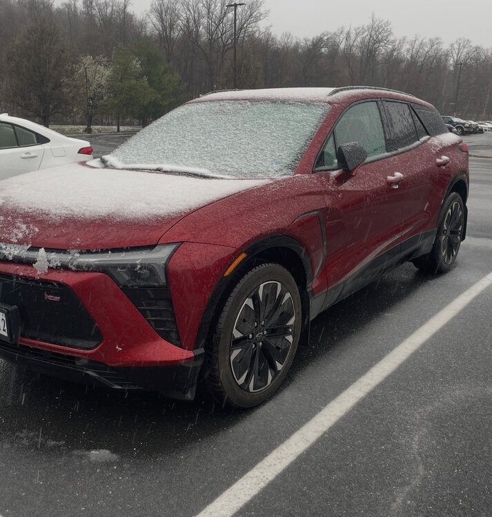
I knew it was going to snow today, but the accumulation is surprising. 35 degrees here in Augusta County NW of Staunton.- 678 replies
-
- 11
-

-

-

80 Degrees to Ripping Snow: March 12th
WesternFringe replied to SnowenOutThere's topic in Mid Atlantic
Down to 36 and pouring fatties with a little sleet mixing in! No rain at all in the last hour. -

80 Degrees to Ripping Snow: March 12th
WesternFringe replied to SnowenOutThere's topic in Mid Atlantic
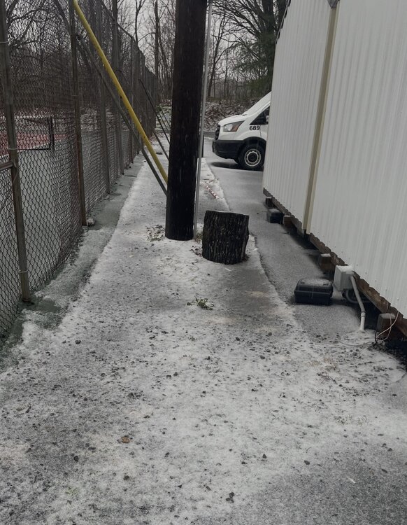
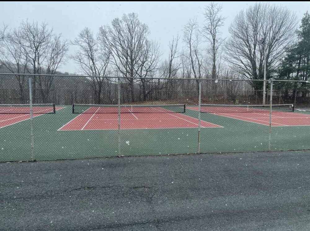
38 degrees and ripping fatties in Augusta County! Starting to accumulate in the woods and pavement by the tennis courts and the top of cars. -

80 Degrees to Ripping Snow: March 12th
WesternFringe replied to SnowenOutThere's topic in Mid Atlantic
Snowing here in Augusta County 2 hours earlier than modeled NW of Staunton. 39 degrees. -

Outta gas and Outta Time: Early March Winter Storm finale
WesternFringe replied to Ji's topic in Mid Atlantic
About 1.5” here on grass and elevated surfaces. Some melting and compaction now. 33° and light rain currently. -

Outta gas and Outta Time: Early March Winter Storm finale
WesternFringe replied to Ji's topic in Mid Atlantic
-

Outta gas and Outta Time: Early March Winter Storm finale
WesternFringe replied to Ji's topic in Mid Atlantic
Light snow with good sized flakes and 35 degrees here in Swoope, NW of Staunton in Augusta County. -

Outta gas and Outta Time: Early March Winter Storm finale
WesternFringe replied to Ji's topic in Mid Atlantic
-

Feb 22nd/23rd "There's no way..." Obs Thread
WesternFringe replied to Maestrobjwa's topic in Mid Atlantic
My friends who live up there said SOME of the mountain cams showed up to 12" of snow, but that likely was snow drifts from the heavy winds. Looks like about 6" to me on that picnic table... -

Outta gas and Outta Time: Early March Winter Storm finale
WesternFringe replied to Ji's topic in Mid Atlantic
-

Outta gas and Outta Time: Early March Winter Storm finale
WesternFringe replied to Ji's topic in Mid Atlantic
To each his own, but why stop in this storm thread just to say that? Why not leave us the hell alone if you aren't interested rather than pissing in our corn flakes? ...mind blowing lol A day off from work with my family and this forecast seems like a good way to wrap up winter to me! -

Feb 22nd/23rd "There's no way..." Obs Thread
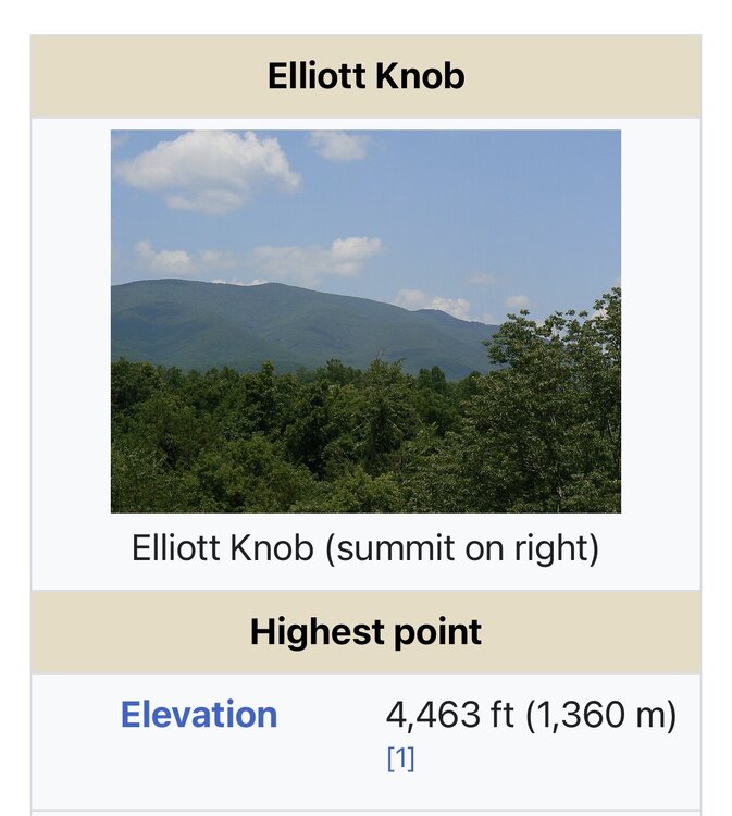
WesternFringe replied to Maestrobjwa's topic in Mid Atlantic
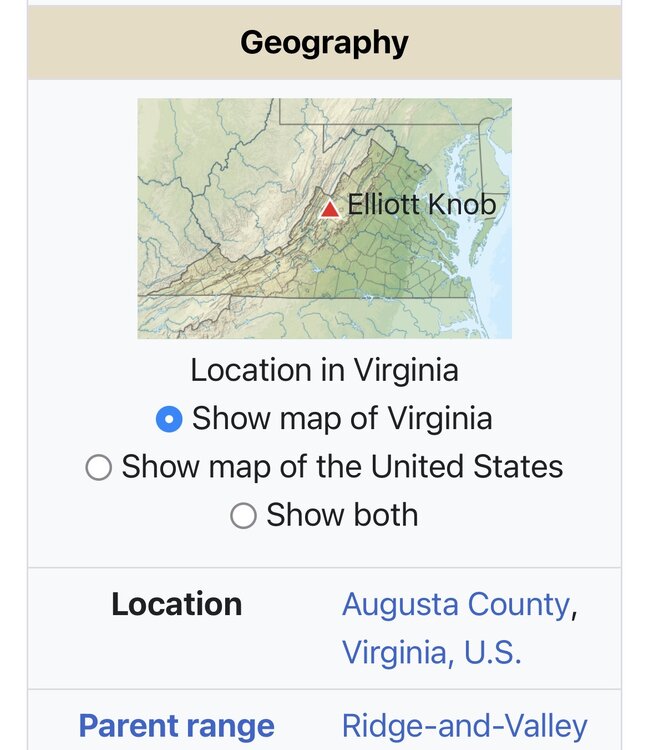
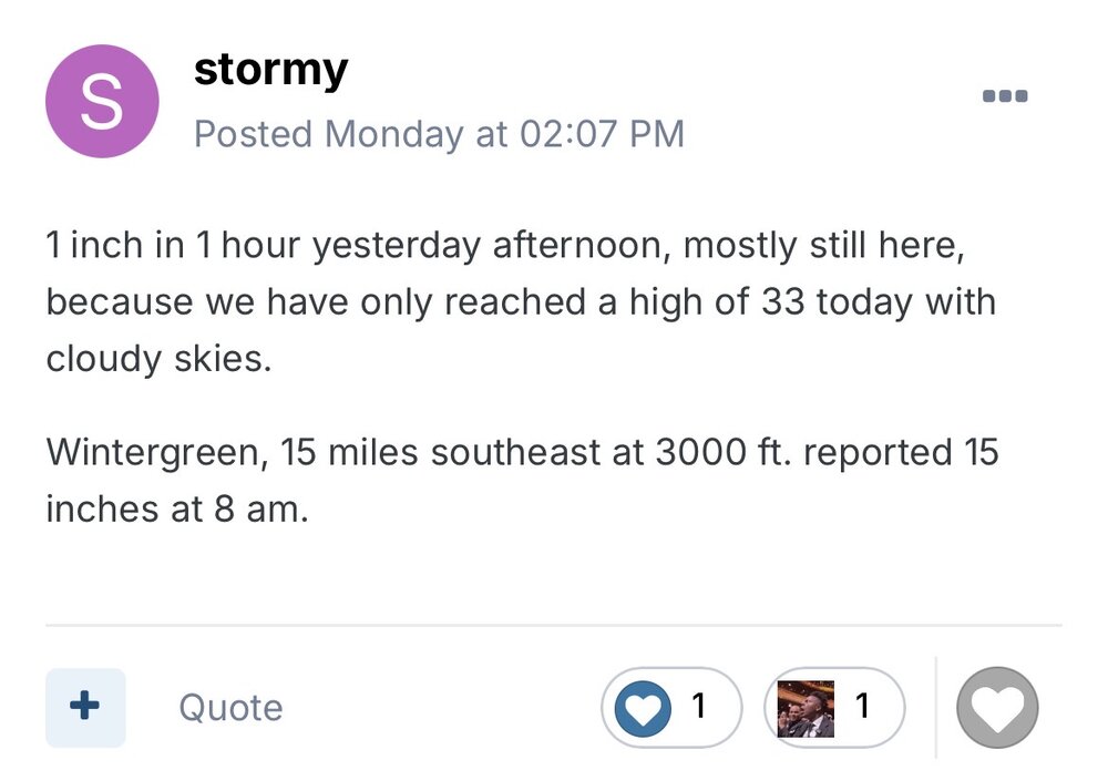
Okay bro, whatever you need to tell yourself. Elliots Knob is 4463’, not 4500’. I was a whole 37’ off. It is almost like I rounded for simplicity sake. Also, I was a hell of a lot closer than you were when you called Wintergreen 3000’ when it is actually 3515’. That is 515’ off!!! You goofed way bigger than me on that! And I was dumb enough to believe you and regurgitated that in one of my replies. Lol Finally, the unofficial non NWS report was from 7:11, not 8:00 am as you said. As long as we are getting nit picky. You goofed on that, too. Lol

