klw
-
Posts
4,757 -
Joined
-
Last visited
Content Type
Profiles
Blogs
Forums
American Weather
Media Demo
Store
Gallery
Everything posted by klw
-
Some healthy totals from NY/PA https://forecast.weather.gov/product.php?site=NWS&product=PNS&issuedby=BGM ...New York... ...Broome County... 2 SW Nws Binghamton 41.0 in 0640 AM 12/17 NWS Employee Vestal 41.0 in 0730 AM 12/17 Public 2 S Binghamton 41.0 in 0800 AM 12/17 Public Endicott 40.5 in 0550 AM 12/17 Trained Spotter 2 E Vestal 40.2 in 0700 AM 12/17 NWS Employee 2 SW Vestal Center 40.0 in 0730 AM 12/17 NWS Employee Nws Binghamton 39.6 in 0700 AM 12/17 Official NWS Obs West Corners 39.5 in 0649 AM 12/17 Public Endwell 37.0 in 0622 AM 12/17 Public Chenango Bridge 36.0 in 0742 AM 12/17 Public 2 SSE Vestal Center 35.0 in 0747 AM 12/17 Public Binghamton 30.5 in 0715 AM 12/17 Public Lisle 30.0 in 0626 AM 12/17 Public Port Dickinson 30.0 in 0703 AM 12/17 Public Nanticoke 29.0 in 0636 AM 12/17 Public 2 NNW Port Crane 28.6 in 0615 AM 12/17 NWS Employee Kirkwood 24.0 in 0625 AM 12/17 Public 2 ENE Lisle 23.0 in 0721 AM 12/17 Public ...Tioga County... 2 SE Newark Valley 44.0 in 0700 AM 12/17 Public Owego 40.0 in 0815 AM 12/17 Public 1 N Foster 38.0 in 0630 AM 12/17 NWS Employee Tioga Terrace 36.0 in 0600 AM 12/17 Public Waverly 32.0 in 0748 AM 12/17 Public Lockwood 26.0 in 0631 AM 12/17 Public Berkshire 25.0 in 0730 AM 12/17 Trained Spotter ...Pennsylvania... ...Bradford County... Litchfield 43.0 in 0800 AM 12/17 Trained Spotter Troy 36.0 in 0600 AM 12/17 Public Sayre 32.0 in 0647 AM 12/17 Public 1 S Sayre 31.0 in 0545 AM 12/17 Public Ridgebury 31.0 in 0647 AM 12/17 Public Towanda 30.0 in 0626 AM 12/17 Public
-
Looks like smooth traveling on 93 Meanwhile on 1 91 near Springfield:
-
PIS about an hour ago: ..https://forecast.weather.gov/product.php?site=NWS&product=PNS&issuedby=BTV .Windsor County... Chester 31.5 820 AM 12/17 Broadcast Media 2 S Ludlow 30.5 713 AM 12/17 Near South Hill Windsor 30.0 908 AM 12/17 Broadcast Media 1 SW Hartland 29.0 900 AM 12/17 CoCoRaHS Reading 28.0 800 AM 12/17 Broadcast Media 2 N Springfield 25.4 700 AM 12/17 Public Weathersfield 24.0 830 AM 12/17 Dept of Highways Springfield 24.0 715 AM 12/17 Broadcast Media 2 S West Windsor 23.0 700 AM 12/17 CoCoRaHS 2 NW Hartland 22.0 700 AM 12/17 CoCoRaHS Andover 21.5 815 AM 12/17 Public 1 SSW Tyson 20.0 730 AM 12/17 Public Hartland 18.5 720 AM 12/17 Public 1 E Woodstock 18.0 800 AM 12/17 Co-Op Observer Woodstock 16.5 740 AM 12/17 Public Quechee 16.0 800 AM 12/17 Public 3 N Pomfret 9.5 700 AM 12/17 CoCoRaHS 1 SE West Norwich 9.0 645 AM 12/17 Public Bethel 8.0 710 AM 12/17 Public NE Rochester 6.5 700 AM 12/17 CoCoRaHS ...Rutland County... Danby 33.0 830 AM 12/17 Broadcast Media 4 W Pawlet 30.0 830 AM 12/17 Public Pawlet 30.0 820 AM 12/17 Park/Forest Srvc Mt. Holly 27.0 905 AM 12/17 Broadcast Media 3 ESE Shrewsbury 25.0 832 AM 12/17 Trained Spotter Shrewsbury 25.0 815 AM 12/17 Public Belmont 24.0 930 AM 12/17 Public 2 ENE Shrewsbury 23.5 740 AM 12/17 Public 3 SSW Wallingford 21.3 700 AM 12/17 CoCoRaHS 1 NNW South Wallingf 21.3 700 AM 12/17 Trained Spotter 1 WNW Middletown Spr 14.2 600 AM 12/17 CoCoRaHS Pittsfield 12.0 840 AM 12/17 Public Castleton 12.0 910 AM 12/17 Public 1 N West Rutland 11.9 615 AM 12/17 CoCoRaHS 1 SSE West Rutland 10.3 800 AM 12/17 CoCoRaHS Poultney 10.0 715 AM 12/17 Broadcast Media 2 ENE Poultney 8.0 602 AM 12/17 Broadcast Media Forest Dale 7.5 815 AM 12/17 Public Sudbury 7.0 550 AM 12/17 Public
-
Problem for IBM is it had moved south yesterday and had much less up this way.
-
The moment Dendy turned into Dave looking into the Jupiter monolith.
-
nice visual shot
-
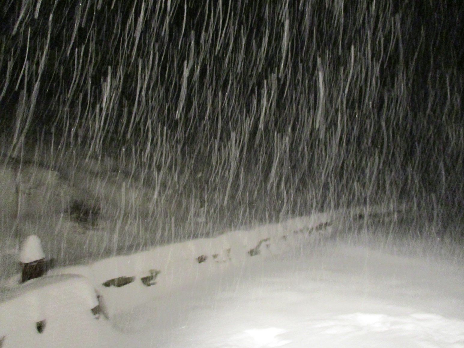
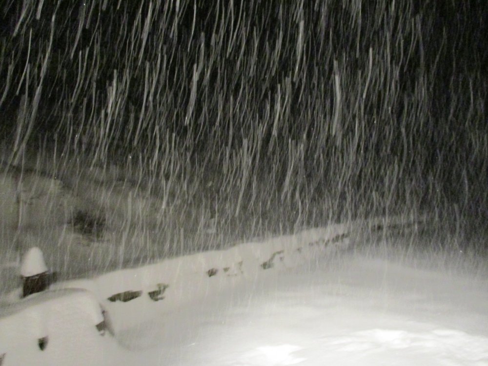
15 inches here now. Gives me 6 inches in around 2 3/4 hrs.
-
Is that a cream colored Golden? She does not look happy to be filmed while pooing.
-
2.5 inches in the last hour, no wind to speak of
-
It seems like the band may be getting even a bit stronger
-
So for up here the best model would appear to have been the .......SREF family! Canadian, HRRR, and NAM a close second. Shudder.
-
And no new trees on the fence! Get well,
-
Another inch in the past 15-20 minutes.
-
9" here as of 6:30. Heavy snow band is getting us afterall, I thought it would juuuuuust miss us to the south.
-
if expecting, the column must not have always been dry.
-
Are the radar returns over S VT virga or am I in for an awful commute home?
-
Very little happened to people but what happened was instead of 3 TV stations clamoring for attention there are now hundreds plus the net. TV wants you to tune in and thus hypes this stuff like crazy. People now also share Kuchera clown maps on Facebook and that is how news is spread to many without explanation. People are the same, media is different. If anything snowstorms have less of an impact than they used to because up until the 1/96 storm, AWD and 4WD with the exception whereas now most everyone has an SUV or Crossover with AWD or at least knows someone with one. In the 96 storm, NJ hospitals asked for volunteers with AWD to help patients get to treatment. That would likely not happen today.
-
SRF mean up here at KLEB is now up to 18.5 inches with a range from 3.5 to 30". I am thinking 4 to 6, maybe 8.
-
BTV has given me a Watch. They put out a couple of new maps: Well there is a third but why would I want to look at that: Probable range is dusting to 14 inch with a 5% chance of more that 18". Expected is 5". https://www.weather.gov/btv/winter
-
That would have me regretting my decision this past weekend to not bother clearing a way to get the snow blower out of the garage.
-
From the BTV midday AFD: .NEAR TERM /THROUGH WEDNESDAY/... As of 1202 PM EST Tuesday...No changes needed to fcst this aftn. We have noticed some significant changes with the new 12z guidance, with a shift northward in the qpf and potential snowfall acrs our central/southern cwa associated with system late Weds into Thurs. After coordination with WPC and surrounding wfo`s we will have the latest update with aftn package. https://forecast.weather.gov/product.php?site=BTV&issuedby=BTV&product=AFD&format=CI&version=1&glossary=1
-
It doesn't want to fall into the water and melt
-
Until 18z goes back in the other direction.
-
The gradiant on that run is so severe here it would give me 20 inches at our house and 7 inches at the start of the driveway.
-
Welcome to the board, you must be new here.