

Greg
-
Posts
1,873 -
Joined
-
Last visited
Content Type
Profiles
Blogs
Forums
American Weather
Media Demo
Store
Gallery
Everything posted by Greg
-
 I think you'll be ok with this one coming.
 -
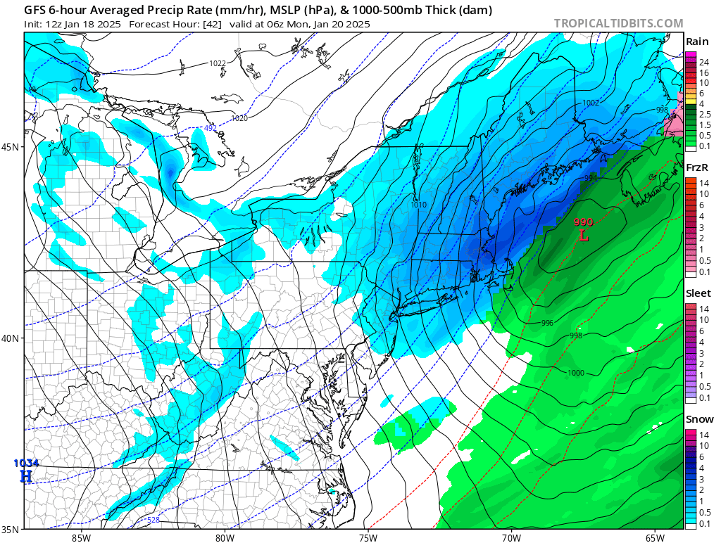
I knew last night that the CMC and RGEM were a little too warm in with the thermals and track. The cold air was going to win out in this. Everything else is offshore with the track of the low which makes the most sense at this time. However, this will and still will be a quick moving storm. This puts a cap on some of the highest totals I keep reading about. The reality seems to be the heart of our viewing area will probably be something like a 5-9" to 6-10" inch like event. It's always possible to have a couple or so places pick up on the estimate a foot, but this would be very localized and not widespread. At this time banding and snowfall rates will be the determining factor in final accumulations.
-
GFS looking nice and snowy. Heaviest east.
.thumb.png.4b8e9e3c9d877be53b22656abbdbcaa2.png)

-
Exactly. It will slowly continue to do so. It's up against some pretty heavy hitter models.
-
Most of models including the Euro has this staying offshore. The only model that has it going over the Cape and island is the Canadien model and that is a very typical bias of it. Local mets are starting to push the heavier totals a little further eastward.
-
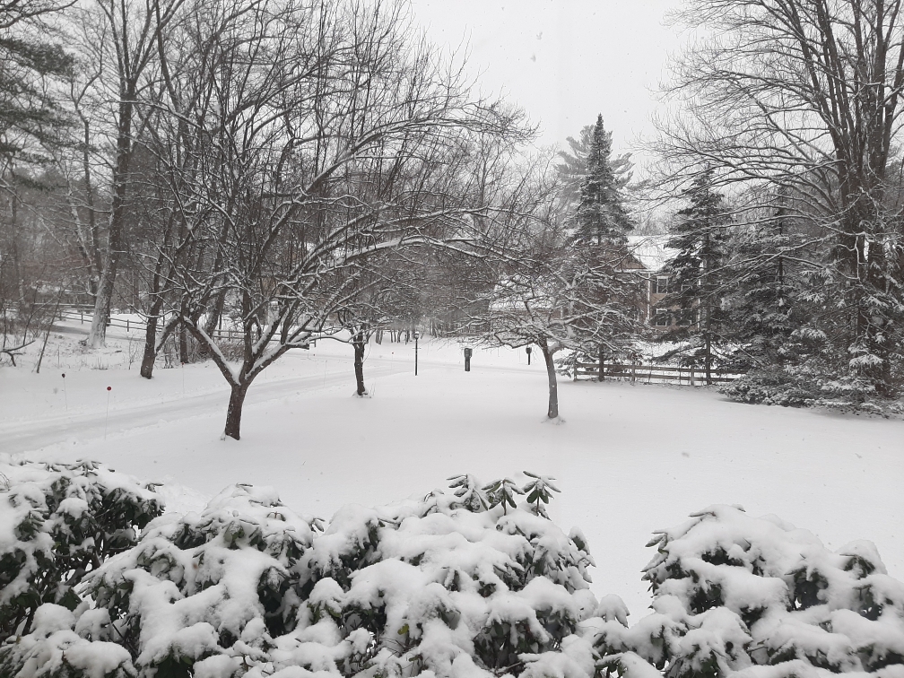
I'm very impressed with this. I have just shy of 4.0" (3.8"-3.9") on the deck right now. Hopefully I can crack that with these last departing bit of snow. But I do believe this is about it. Very nice surprise here.
-
At least it's finally looking like winter again. And it should here in our neck of the woods.
-
Same here!
-
I had about 2.5" of snow as of 12:05 PM and still coming down.
-
More like a 1979-80 Winter to be dead honest.
-
Close but not quite. Use the 10:1 ratio map and you'll see why.
-
Everything else east?
-
Here is the 10:1 ratio for those who want a bit of more realism.
-
Actually, knowing the GFS slightly cold bias you want this east right now. Too close for comfort this early.
-
That would actually be Lancaster or Clinton MA verbatim. By the way thank you for posting the 10:1 ratio snowfall map and not the Kuchera.
-
Not quite.
-
True.
-
Way too tuckie. Toss.
-
You see that far northern outlier? The one by southeast New Jersey, that is how far north this can get with the phase potential. You really want this to go off the Delmarva then get captured by the upper level Low (Miller B like) and do a small stall like loop just offshore then slowly head in a east northeast direction in-between Nantucket and just inside the benchmark. That would be deemed the ultimate outcome for many.
-
Good Gawd! We'll, we can't fault you for your enthusiasm, that is for sure!
-
I'll take both panel number 4 and 16 please.
-
Put the 10 to 1 ratio one not the Kuchera. It will depict slightly more realism.

.png.219ddd54a65b1ec6ce40e49cd7776dc0.png)
.png.8cb63bf2defc06c9e10ef4187b1b0e23.png)

