-
Posts
2,023 -
Joined
-
Last visited
Content Type
Profiles
Blogs
Forums
American Weather
Media Demo
Store
Gallery
Everything posted by tunafish
-
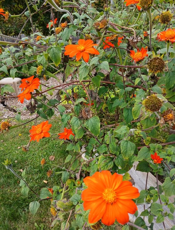
100%. It's representative of Coastal Cumberland/York counties, and that's about it. The "mid-July" look isn't entirely a product of our climate/growing season, either - we're thoughtful about what blooms and when so we have color and something to harvest from Feb-Nov (starting with cold-frame greens and ending with carrots).
-
Got down to 41° last night, which is still the lowest this season.
-
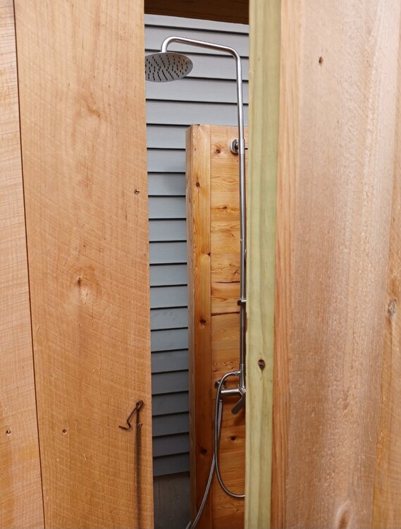
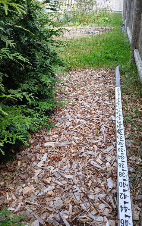
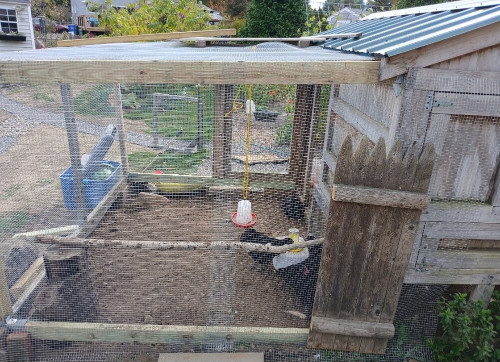
Still need to stain the surround on the new outdoor shower and get my NWS gear set up before it freezes (stake currently being used as an anchor for a temporary chicken run).
-
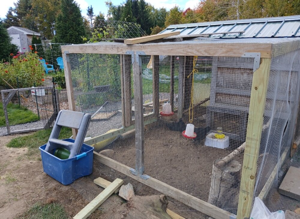
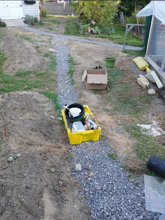
This stretch has been a blessing as we have several projects we're finishing up...extended the chicken run for 4 new black osterlorps, dug and filled a 50 foot French drain.
-
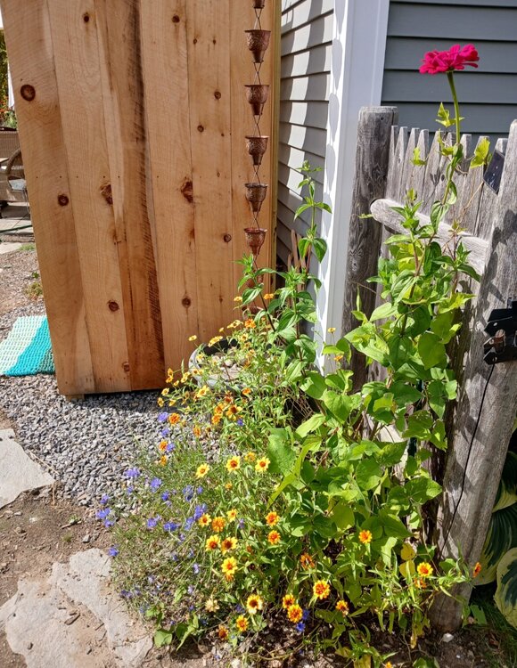
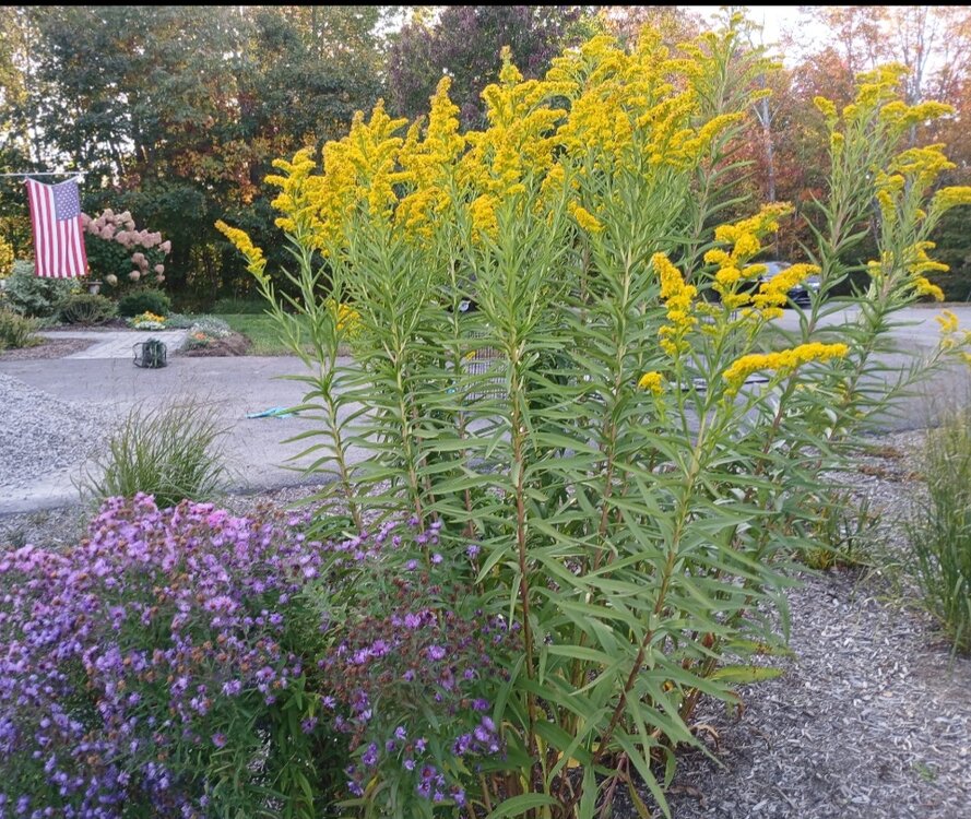
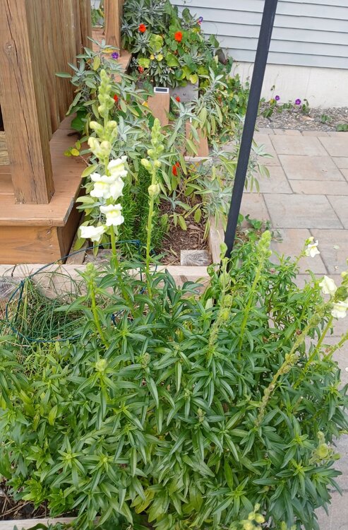
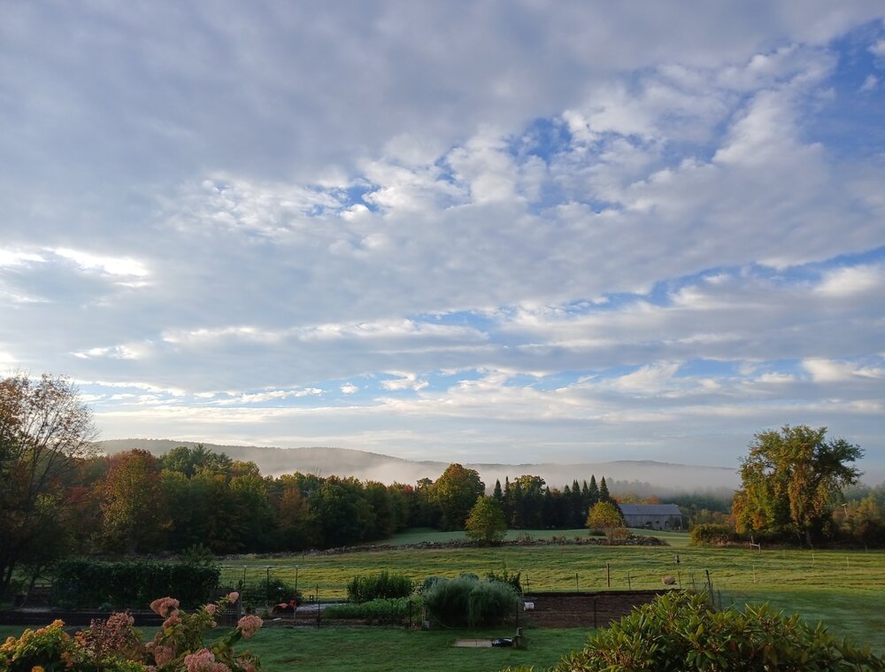
Lots of blooming even up here in PWM. Sorta by design, but also thanks to the extended growing season.
-
Curious: what date is the latest 'first measurable' at the picnic tables?
-
This sums it up pretty well. It's going to take months and months. It's 5 steps just to get to something critical like water. https://ibb.co/gdM34M3
-
Tons of up to date info on resources here for anyone who might need it (or can share it).https://docs.google.com/document/u/0/d/154hYrmMKWNKWIwcTkUP8GhcAn4z4LXnFr2AKMgv3Qik/mobilebasic?pli=1
-
Posting a long list of resources in case it's helpful to anyone affected - either reading this thread or passing onto someone you know that's affected in WNC. LIST OF IMMEDIATE RESOURCES FOR WATER, GAS, WIFI, FOODHere's resources as of 9/29:WATER• Lowe’s on Smoky Park has water 95 Smokey Park Hwy, Asheville, NC 28806 - 1 case, 1 gallon person• Pisgah brewing is filling jugs - 2948 US-70, Black Mountain, NC 28711• Greg Eagle was filling water 185 Clingman Ave, Asheville, NC 28801• Harris Teeter giving away water (unsure if location specific)• Sam's Club is giving out free water but other reports say they’re closed◦ None as of Sat night, but were going to restock• Publix on Hendersonville rd they said they may have a new shipment of water in today(9/29) 1830 Hendersonville Rd, Asheville, NC 28803• Ingles on airport rd was handing out free water and ice yesterday (9/28) 352 Airport Rd, Arden, NC 28704• Mission Hospital is providing free potable water 509 Biltmore Ave• Dissolve Brewery• Home Depot at fairview• 382 South French Broad River - water available• Jupiter Fire Department in Barnardsville - potable water• Asheville mall 3 S Tunnel Rd, Asheville, NC 28805 - water and other supplies - out as of 3pm 9/29 — restocked as of 7pm 9/29• Home Depot - Enka area- Sunday Sept 29• Publix Weaverville - 165 Weaver Boulevard Open. Have purified water for sale if you bring your own container• FREE bottled water Sunday 9/29 944 Merrimon Ave• Fresh spring water 16 Runyon Drive, Leicester - 808-729-4683 Nica• Spring at 231 N Carolina Terrace in Black Mountain• Stream water at Double Crown in wavl , 100 gallons, byo container while supplies last•WIFI• Citizen Vinyl 14 O'Henry Avenue 28801• Moxy Hotel 61 Biltmore Ave, Asheville, NC 28801• The Plug Shop -not sure which location or if all: 34 S Lexington Ave, 1356 Patton Ave• Center for Craft 67 Broadway St, Asheville, NC 28801• Patton Ave Pet Co - not sure which location: 109 Patton Ave,1388 Patton Ave- 109 has it• Mosaic Cafe in Biltmore Park 1 Town Square Blvd Suite 150, Asheville, NC 28803 - password protected. Add the password here if you know• Waynesville Lowe's 100 Liner Cove Rd, Waynesville, NC 28786• North Asheville Library 1030 Merrimon Ave• Downtown library 67 Haywood St, Asheville, NC 28801• 90 Southside Ave 28801• Register of Deeds 205 College St, Asheville, NC 28801• West Asheville Fire Station 970 Haywood Rd, Asheville, NC 28806• Kmart parking lots• Lowes• Asheville Science Museum 3 Patton Ave, Asheville, NC 28801• Chamber of Commerce 36 Montford Ave, Asheville, NC 28801• REI in Biltmore Park 31 Schenck Pkwy, Asheville, NC 28803 (• Wicked Weed 91 Biltmore Ave, Asheville, NC 28801• Pac Memorial Library 67 Haywood St, Asheville, NC 28801• Buncombe County Health Services• Ken Wilson Ford in Canton has Wifi.• How to text via sateliteSERVICETTN Western NC: providers have enabled “disaster roaming.” Regardless of what service a person has, if they are in an area with any functional network, they will be able to make calls or send text messages. Go to settings, Then connections, under mobile network settings make sure roaming is enabled.(For iPhone users: Go to settings, Cellular, Cellular Data Options, and toggle on Data Roaming.)• River Arts District• Ingles in Reynolds• 12 Bones SAVL - CELL SERVICE• Full Verizon service in the 12 bones parking lot.• DoubleTree off Haywood and Carter• Louisian and Patton Firehouse• cell phone service station across across from Asheville ymca 35 WoodfinSTARLINK STATIONS FOR PUBLIC USESPOT 1: DoubleTree Hilton Downtown 199 HaywoodSSID: SORTOR STARLINKPass: ncstrongSPOT 2: Asheville Shelter Ferguson Building 340 Victoria RdSSID: HALL STARLINKPass: ncstrongStarlink in Black Mountain on Lower Flat Creek RdNetwork ends in Mesh-GuestPassword: TRFlatcreek1! FOOD• Burial South Slope doing a free cookout today 9/29 40 Collier Ave• Curate free paella 13 Biltmore Ave• Bear’s BBQ in South Slope providing free food 135 Coxe Ave -12pm Monday first come first serve• Itto was giving out free Ramen in West Asheville and the Odditorium was also giving out free food• 12 Baskets on Haywood open for lunch, need paper plates and water, has charging station• Landing Depot on Patton open - cash onlyGAS (ASSUME CASH ONLY, MAY BE OUT OF GAS)• City by McCormick Stadium is open intermittently with gas 45 McCormick Pl, Asheville, NC 28801• Shell and Enmarket on Merrimon (reports as of am 9/29 they’re out of gas) 40 Merrimon Ave and 203 Merrimon Ave• The hot spot, Ingle's, and exxon on Brevard Rd have been open for several days now. They may be out of gas. Ingles 863 Brevard Rd, Exxon 875 Brevard Rd, 28806◦ More reports of Brevard Rd stations having gas• The shell on Charlotte St is open with a very long line - Shell 45 Charlotte St, Asheville, NC 28801 - OUT OF GAS as of 9/29/24 @8:08pm• There were a few gas stations on Long Shoals Road open as of last night. Ingles gas 301 Long Shoals Rd, Arden, NC 28704• sheetz in fletcher does have gas and takes card. lot of people but i saw on FB they just got more gas delivered last night at like 5 am 5440 Asheville Hwy, Hendersonville, NC 28791• Ingles on Sand Hill in Candler is open 1572 Sand Hill Rd, Candler, NC 28715• Citgo and Marathon in fletcher had gas last night. I’m not sure how much (if any) they’d have left today but it’s worth a shot. Citgo was cash only. Not sure about marathon.• Citgo 4091 Hendersonville Rd, Fletcher, NC 28732• Marathon 95 Terminal Dr, Fletcher, NC 28732• Gas stations in canton have fuel -confirmed 9/29 6 pm• 16 Smith Mill Road• GAS - Sheetz on Asheville Hwy near Naples Rd - CREDIT CARDS ACCEPTED - as of 11am 9/29• 2273 Hendersonville Road, Arden NC Convenience store open, accepting cash and cards Gas available - unleaded, mid, premium, and diesel• 443 Airport Rd, Arden, NC 28704 - gas available as of 5:15pm 9/29. Credit and cash, no debit• Fletcher sheets is having gas trucks come in very frequently. Had 2 show up during my wait to get gas. took two and a half hours, but finally got it.GROCERIES• French Broad River Coop• Publix on Henderson is taking cash and card, restocking at all times 1830 Hendersonville Rd Asheville, NC 28803. They have wifi, food, water• Trader Joe’s is open and taking credit/debit• Harris Teeter on Merrimon is open and taking debit/credit• Weaverville Publix is taking cash + card, has wine, candy, frozen food• Fresh market 944 Merrimon Ave - free bottled water• Ingles on Brevard Rd - CASH ONLY - FOOD/WATERPROPANEAce on Haywood normally does refills from large canister outsideGENERAL SUPPLIES3 S Tunnel Rd - Asheville Mall Barnes & Noble. Global Empowerment Mission Basecamp #2 on site 9/29 giving out water, food and hygiene supplies. @globalempowermentmission on instagram posted details .SHELTERS• AB Tech, FEMA 16 Fernihurst Dr, Asheville, NC 28801 (no pets allowed)• AG Center (pets allowed) The shelter has no running water or power but does have a porta-trailer with bathrooms. They have roughly 300 cots available. 765 Boylston Hwy Fletcher, NC 28732• Emergency medical center, including for those with medical equipment requiring power 10 Genevieve Circle• Code Purple shelter for single men: Veteran’s Restoration Quarters, 1329 Tunnel Road, Asheville 28805 - 828-259-5333• Code Purple shelter for single women and women with children: Transformation Village, 30 Olin Haven Way, Asheville 28806 - 828-259-5365•Search and Rescue: 2-1-1Candler residents: Montmorenci United Methodist Church food box distribution today 12/29 at 4:00pmIn parking lot of laundry mat1523 smokey park hwy(Limit per car, only until gone) HIGHWAYSI-26 south past 40 is supposed to be clear all the way to SC. Reports of gas available past the mountain. Gas available in Gastonia. Other reports of no gas until Shelby. Report of multiple people making it to CharlotteReddit comments:We left this morning on 26 towards shelby/gastonia. We had 1/4 tank of gas and just made it to Gastonia where we were able to fill up. Most stations before then were either not open or had pretty long lines. Unsure if the situation has changed since this morning.I have friends who left by that route this afternoon. They had a nearly full tank and 100 miles into SC there were still very long lines at stations that had gas. I would tell him not to try it until he can fill his tank up in Asheville. Maybe wait another day or two. Would be terrible to get stranded.As of ~3PM you can take 40W to 74S to Franklin where there is gas available. From there cell service is consistent across the GA line near Clayton.PHARMACY• Waynesville Walmart 135 Town Center Loop, Waynesville, NC 28786, accepting credit cards, have food and water available• BBB Pharmacy should be open on Mon 9/30WHERE TO GET INFO• Firestorm Bookstore has a mutual aid meeting everyday at 2pm - helpful for resource sharingAlerts and signups• AVL Alert signup for SMS updates• Buncombe County Code Red alert signup• Duke Energy power outage alerts• Weather alerts and advisories• MANDATORY EVACUATION FOR SWANNANOA RIVER VALLEYUpdates• City of Asheville Hurricane Helene information and updates• Hendersonville flooding alerts• WLOS live updates (Buncombe, Henderson, Transylvania, McDowell, Mitchell, Yancey)• Asheville Fire dept. Twitter, Facebook• City of Asheville Facebook, Twitter, Instagram•ATMSWells Fargo downtownHendersonville Road PublixSkyla credit union at 148 Charlotte Street has a drive thru ATM - offline as of noon 9/29Cashback• Waynesville Lowe’s• Quality Plus ArdenOTHER• Jai Fai - cuts down trees but needs help: 476-422-1292• Ace Hardware by Hopey on Fairview Rd. They are helping one person at a time. 800 Fairview Rd, Asheville, NC 28803
-
Yup. People are going to go weeks and even months without power and water. It is BAD.
-
The scope and span of the damage to property is remarkable. Maybe it won't be more costly than Katrina but it's gotta be close. Not to mention the growing death toll (now >100 with hundreds more not accounted for).
-

September vibes - Last 90s for some, 1st frost for others
tunafish replied to tamarack's topic in New England
-
Western CT put up 29.58"??
-
You aren't kidding. Goodness gracious.
-
Thanks for setting this up. Only bug I found last year was that a "note" was required for each entry, otherwise it wouldn't post. Did not test that yet this year as there's been (shockingly) no snow yet.
-

September vibes - Last 90s for some, 1st frost for others
tunafish replied to tamarack's topic in New England
I don't see a single CoCoRAHS station with over 1" MTD in all of NH and ME. Impressive. -

September vibes - Last 90s for some, 1st frost for others
tunafish replied to tamarack's topic in New England
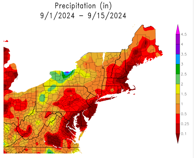
According to CoCoRAHS, there's only a handful of stations in NE that have > 1" this month - they're all either north/west of PF or isolated stations in RI. Nada elsewhere. Lines up with these maps, too. brutal. -
Oh yes. We always bake them before feeding them back.
-
That all makes a lot of sense. Same with humans, right? Pack shit with corn. My hens would rather eat from the yard than from the feeder. Only really do consistently when the grounds covered. We don't do oyster shells, probably should, but do give them crushed (cooked) eggshell.
-
We're making a French drain near the coop, it's possible she's scraping her comb accidentally on the rocks and now scabbing? There's been a neighborhood cat checking her out lately, too. Maybe some added stress. We have 3 other hens (born this spring) joining her in 2 weeks, from family in your neck of the woods, actually. I don't recall the breed. She was never the top hen, generally keeps to herself, so hoping they adjust nicely.
-
Shes 3 and has always kinda been a loner. She laid almost daily from Feb-Jul, then probably every 3-4 days since. Other one had a lump, swelling, and didn't lay eggs. Lost about a third of her body weight in a month. No post-mortem to confirm. Gotta check the feed, buy it's good quality I believe. I'll up the mealworm intake (shell be stoked). Always thought it was a treat, like scratch, not to overdo.
-
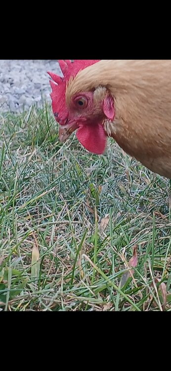
@dendrite Lost 2 hens this summer (1 tumor, 1 internal issue unknown), got 1 left. Noticed some black spots on her comb today, and some discoloration of her beak. Also laid a shell-less egg. Otherwise behaving normal. What's your best guess - stress from being solo for a month or avian flu are my goalposts. No idea.
-

September vibes - Last 90s for some, 1st frost for others
tunafish replied to tamarack's topic in New England
-

September vibes - Last 90s for some, 1st frost for others
tunafish replied to tamarack's topic in New England
Thanks. Might have been localized. This was (in Newport, VT) closer to St. Johnsbury than the other sites you mentioned. The ground was too waterlogged to support cars and foot traffic, especially on the order of 10's of thousands. Ha. We hit traffic at 4PM and didn't move until 7AM. Was an all night party, at least for us. We ended up parking in Barton, hitchhiked with a local down some logging roads until those were blocked, walked the remaining 5 miles in. No, this was from Phish's "last" concert in 2004. Which, even for someone who attended, is just as much (if not more) LMFAO-worthy. -

September vibes - Last 90s for some, 1st frost for others
tunafish replied to tamarack's topic in New England
In 2004 I spent 15 hours in traffic on I-91 just south of Barton, VT. Didn't move an inch. If anyone can point me to BTV data Aug 1- Aug 14 2004, I'd love to see how much rain they got leading up to this madness.


