

RDRY
-
Posts
728 -
Joined
-
Last visited
Content Type
Profiles
Blogs
Forums
American Weather
Media Demo
Store
Gallery
Everything posted by RDRY
-
The 17th-18th overrunning/southern system combo on the GFS is a bit reminiscent of February 8-11 of 1994.
-
December 5-6, 2020 Storm Observations and Nowcast
RDRY replied to Baroclinic Zone's topic in New England
This is like an April storm -- heavy snow or drizzle. -
Dec 5/6th major coastal/ west Atlantic cyclogenesis ...?
RDRY replied to Typhoon Tip's topic in New England
Can someone post a "the radar is filling in on the west side more than modeling showed" just to humor me? Gracias. -
Dec 5/6th major coastal/ west Atlantic cyclogenesis ...?
RDRY replied to Typhoon Tip's topic in New England
Damn precip shield is like a hurricane. 982 on the Cape, and not a flake at the NY/MA border. -
Dec 5/6th major coastal/ west Atlantic cyclogenesis ...?
RDRY replied to Typhoon Tip's topic in New England
Seeing it more and more. Models -- with their varying programming parameters -- are having a brutal time with these bombing coastals. Almost like the atmosphere has gotten away from them. They're all over the place even within a day of the event. Forecasters' nightmare. -
Dec 5/6th major coastal/ west Atlantic cyclogenesis ...?
RDRY replied to Typhoon Tip's topic in New England
You've referenced that. But at the time (mid-afternoon yesterday), the GFS had shown around 4 inches, while none of the other models had any significant precip reaching the area. Even with an anticipated farther west expansion based on the mid and upper levels, the storm was much too far east. -
Dec 5/6th major coastal/ west Atlantic cyclogenesis ...?
RDRY replied to Typhoon Tip's topic in New England
I'm aware of that. Over two decades up here seeing when watches are issued, I found the call to be oddly out of sync with the modeling. It requires much more forecasting certainty at that lead time to issue watches in these parts. If the mets making the call simply anticipated an outcome divergent with the modeling, they've never referenced it in their write-ups. -
Dec 5/6th major coastal/ west Atlantic cyclogenesis ...?
RDRY replied to Typhoon Tip's topic in New England
Berks still well outside forecasted warning snow region -- as it was when the WSW was issued yesterday afternoon. Seemed like an odd jumping-the-gun call, especially for this area. -
Dec 5/6th major coastal/ west Atlantic cyclogenesis ...?
RDRY replied to Typhoon Tip's topic in New England
CMC looks about the same, maybe a hair north and east at 42. -
Dec 5/6th major coastal/ west Atlantic cyclogenesis ...?
RDRY replied to Typhoon Tip's topic in New England
Obviously. Yet plenty on here also go by model output and even the pros were dubious of a western Mass hit this afternoon. -
Dec 5/6th major coastal/ west Atlantic cyclogenesis ...?
RDRY replied to Typhoon Tip's topic in New England
Given the low position at the time of the WSW call, the low was way too far east on all the major models, except the GFS. The NWS mets must have anticipated a westward shift. -
Dec 5/6th major coastal/ west Atlantic cyclogenesis ...?
RDRY replied to Typhoon Tip's topic in New England
It seemed premature, given the almost complete absence of model support. But voila, the models are now bending to their call. -
Dec 5/6th major coastal/ west Atlantic cyclogenesis ...?
RDRY replied to Typhoon Tip's topic in New England
Hmm. Looking at these latest runs, maybe those NWS mets know what they're doing. -
Dec 5/6th major coastal/ west Atlantic cyclogenesis ...?
RDRY replied to Typhoon Tip's topic in New England
Yay, Berks. One more tic west and they're good to go. Funny seeing the GFS being the stronger, western outlier. It typically is nudging west toward consensus at this lead time. -
Dec 5/6th major coastal/ west Atlantic cyclogenesis ...?
RDRY replied to Typhoon Tip's topic in New England
RGEM track would certainly work for these parts (Berks), though the westward precip expansion seems limited. Expand it a bit and dynamics should sufficiently cool the column. -
Dec 5/6th major coastal/ west Atlantic cyclogenesis ...?
RDRY replied to Typhoon Tip's topic in New England
I still can't believe a Winter Storm Watch was issued this afternoon for western Mass. Based on what? It should be canceled. -
Dec 5/6th major coastal/ west Atlantic cyclogenesis ...?
RDRY replied to Typhoon Tip's topic in New England
I don't see how any significant banding gets to western Mass on any recent model depiction outside the 12z GFS. -
Dec 5/6th major coastal/ west Atlantic cyclogenesis ...?
RDRY replied to Typhoon Tip's topic in New England
The band would have to set up WAY north and west of most recent model runs. -
Dec 5/6th major coastal/ west Atlantic cyclogenesis ...?
RDRY replied to Typhoon Tip's topic in New England
And a somewhat early issuance as well. This will be interesting to watch unfold. Meteorology over modelogy? -
Dec 5/6th major coastal/ west Atlantic cyclogenesis ...?
RDRY replied to Typhoon Tip's topic in New England
The only model that showed anything close to warning snows in western Mass was the 12z GFS, with ensuing model runs trending further east. But the NWS just issued a WS Watch. Uh .... -
Dec 5/6th major coastal/ west Atlantic cyclogenesis ...?
RDRY replied to Typhoon Tip's topic in New England
Still seems like extreme western Mass is fringed at best. -
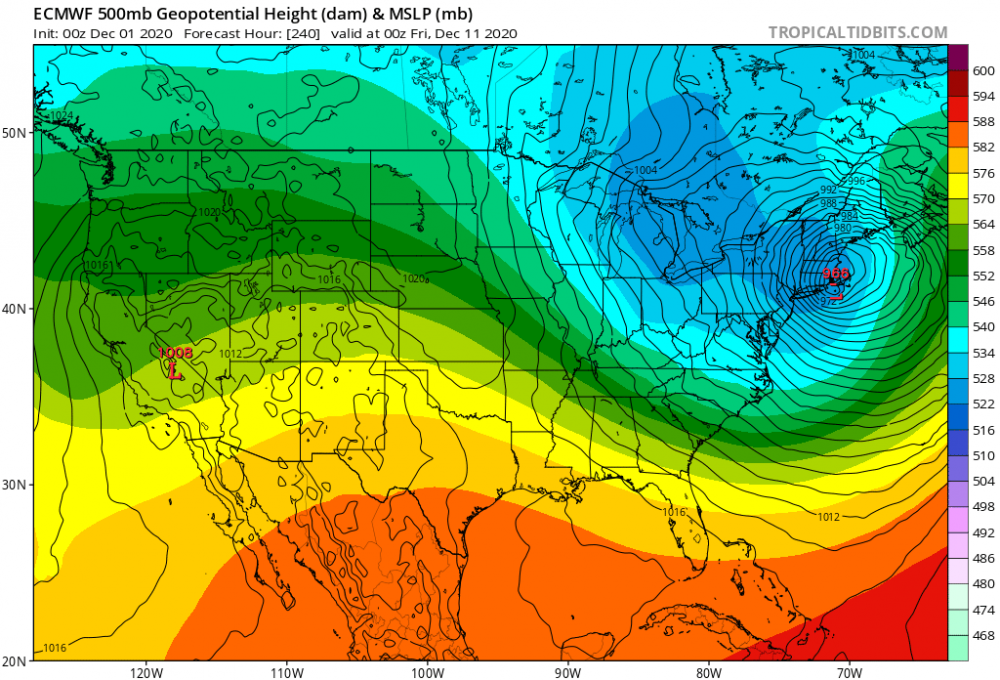
Yeah, but 240.
-
May 8-9 mid-spring rain, snow, cold, wind obs
RDRY replied to CT Valley Snowman's topic in New England
May snow showers kill May flowers. -
Severe storms here in Lenox, with a temp of 40. Bizarre.
-
All sleet in Lenox. Not budging.


