RDRY
-
Posts
728 -
Joined
-
Last visited
Content Type
Profiles
Blogs
Forums
American Weather
Media Demo
Store
Gallery
Everything posted by RDRY
-
Went a bit too high on the Lenox total earlier -- more like 10.
-
Tough to tell with the drifting, but looks like about 15" in Lenox, with maybe another 1-3 before it ends.
-
So southern VT and NH end up the sweet spot. Hail the GFS? It was only off by 200 miles 48 hours out.
-
You don't see Chaplin peeking behind the house?
-
You know it's a powerhouse high when a storm gets this close to the south shore of LI and the convective precip is still frozen.
-
Seriously dry air here in western Mass. This is probably going to come in like a wall.
-
Active mid December with multiple event potential
RDRY replied to Typhoon Tip's topic in New England
Yay. The ski resorts here must be giddy. With no big warm-up in the forecast, they should be up and running. -
Active mid December with multiple event potential
RDRY replied to Typhoon Tip's topic in New England
Oops. Yell away! -
Active mid December with multiple event potential
RDRY replied to Typhoon Tip's topic in New England
Confirmed tornado heading for Tampa airport. Yikes! -
Active mid December with multiple event potential
RDRY replied to Typhoon Tip's topic in New England
Hard to see this not being the season's best event -- gets almost everyone. -
The high-res'es like to jump around the low signature. Precip field looks similar to 18z, though definitely a smidge south which could really help the city.
-
Active mid December with multiple event potential
RDRY replied to Typhoon Tip's topic in New England
NYC resident hiding in the Berks. Looks like a win-win for this one. -
Active mid December with multiple event potential
RDRY replied to Typhoon Tip's topic in New England
Euro might be the closest? -
Active mid December with multiple event potential
RDRY replied to Typhoon Tip's topic in New England
I'm in the Berks for this one. -
Active mid December with multiple event potential
RDRY replied to Typhoon Tip's topic in New England
GFS way south, NAM way north and everything in between -- New York City is always sitting pretty. -
Active mid December with multiple event potential
RDRY replied to Typhoon Tip's topic in New England
Northeast winter storm forecasting is just brutal. What a humbling profession. -
Active mid December with multiple event potential
RDRY replied to Typhoon Tip's topic in New England
Banding at 60 not as robust for them. -
Active mid December with multiple event potential
RDRY replied to Typhoon Tip's topic in New England
Lost maybe a few hours of that norlun feature from 18z, which is a must for higher totals in western MA. -
Active mid December with multiple event potential
RDRY replied to Typhoon Tip's topic in New England
RGEM is an absurd weather model -- it had its 15 minutes of fame several winters back, and now resides in Snookyville. This low is not driving heavy precip halfway through Vermont and New Hampshire. -
Active mid December with multiple event potential
RDRY replied to Typhoon Tip's topic in New England
I wonder if it would be preferable to have super-accurate forecast models (say, 5-day forecasts being as reliable as current 1-day forecasts). Definitely be a lot fewer posts here. -
Active mid December with multiple event potential
RDRY replied to Typhoon Tip's topic in New England
Heh. Baby steps on the GFS. That's just how it rolls. -
Active mid December with multiple event potential
RDRY replied to Typhoon Tip's topic in New England
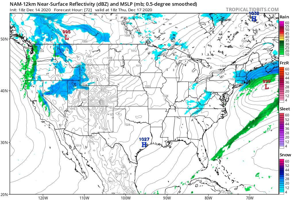
Precip hangs on several hours longer on the 12k compared to 6z -- almost looks like a norlun trough.
-
Active mid December with multiple event potential
RDRY replied to Typhoon Tip's topic in New England
On 12/11/2020 at 11:19 PM, RDRY said: Upper levels just don't support this hitting north of pike. The 500 MB trough orientation is more east-west than north-south. -
Active mid December with multiple event potential
RDRY replied to Typhoon Tip's topic in New England
The para is the upgraded GFS? Seems very erratic. -
Active mid December with multiple event potential
RDRY replied to Typhoon Tip's topic in New England
Of the 4 main globals, I assume Euro verification is still #1. Which one is 2nd?