snowmagnet
-
Posts
1,071 -
Joined
-
Last visited
About snowmagnet

- Birthday April 23
Recent Profile Visitors
3,908 profile views


-
Look who's being positive!
-
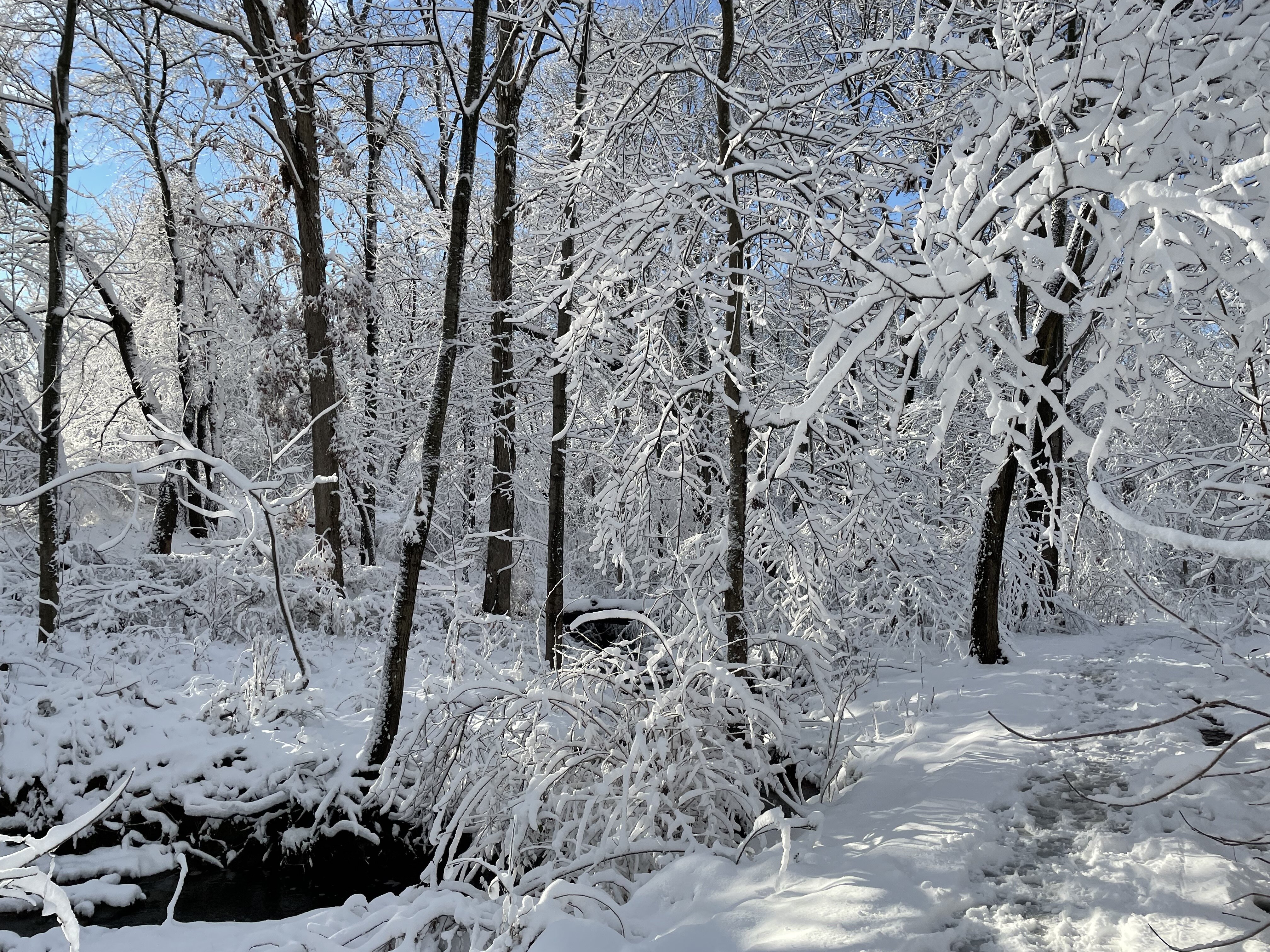
Heavy furries here now.
-
Or the King.
-
Getting some very light snow now...
-
Yeah, I work in a middle school. We've had a ton of sickness going around. I was really hoping last week's storm would have given us enough to keep us out of school Wed-Friday to clear the germs, but no such luck.
-
I think DC is famously the snow hole. Radar seems to agree this time. Wrong side of the magnet - looks like we are repelling.
-
Thanks- I thought maybe it was a fever hallucination. Lol.
-
You rang? I am snowmagnet. Just sitting at home stuck with sick days instead of snow days. Flu for the win. But I think I spy some tiny flurries outside my window here in Western Fairfax.
-
My hesitation during today's debacle storm was that we hadn't heard from you. It should have been a red flag...
-
Was it supposed to start this early?
-
Bob has spoken.
-
Wow. He's right. https://www.nbcwashington.com/news/local/ten-worst-storms-in-dc-history/60569/ Jan 22-24, 2016 - Friday to Sunday Snowmageddon - Friday to Saturday Blizzard of 1996- Saturday to Monday
-
You know we all secretly hope that he's right this time...
-
This place is pretty funny when we have already accepted failure.
-
They already have


