Hyphnx
-
Posts
305 -
Joined
-
Last visited
Content Type
Profiles
Blogs
Forums
American Weather
Media Demo
Store
Gallery
Everything posted by Hyphnx
-
FV3 is running now. Barely. Might get the 18z GFS before the 12z FV3
-
I'm pretty sure the short range have a better grasp on temperature so those totals could go back up.
-
Does that include sleet?
-
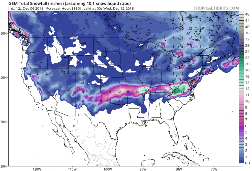
Euro has RIC getting rain
-
12" in Walthall, south of Chester.
-
Low visibility too. Already close to 5" in Chester. Few more hours and we will have 9"
-
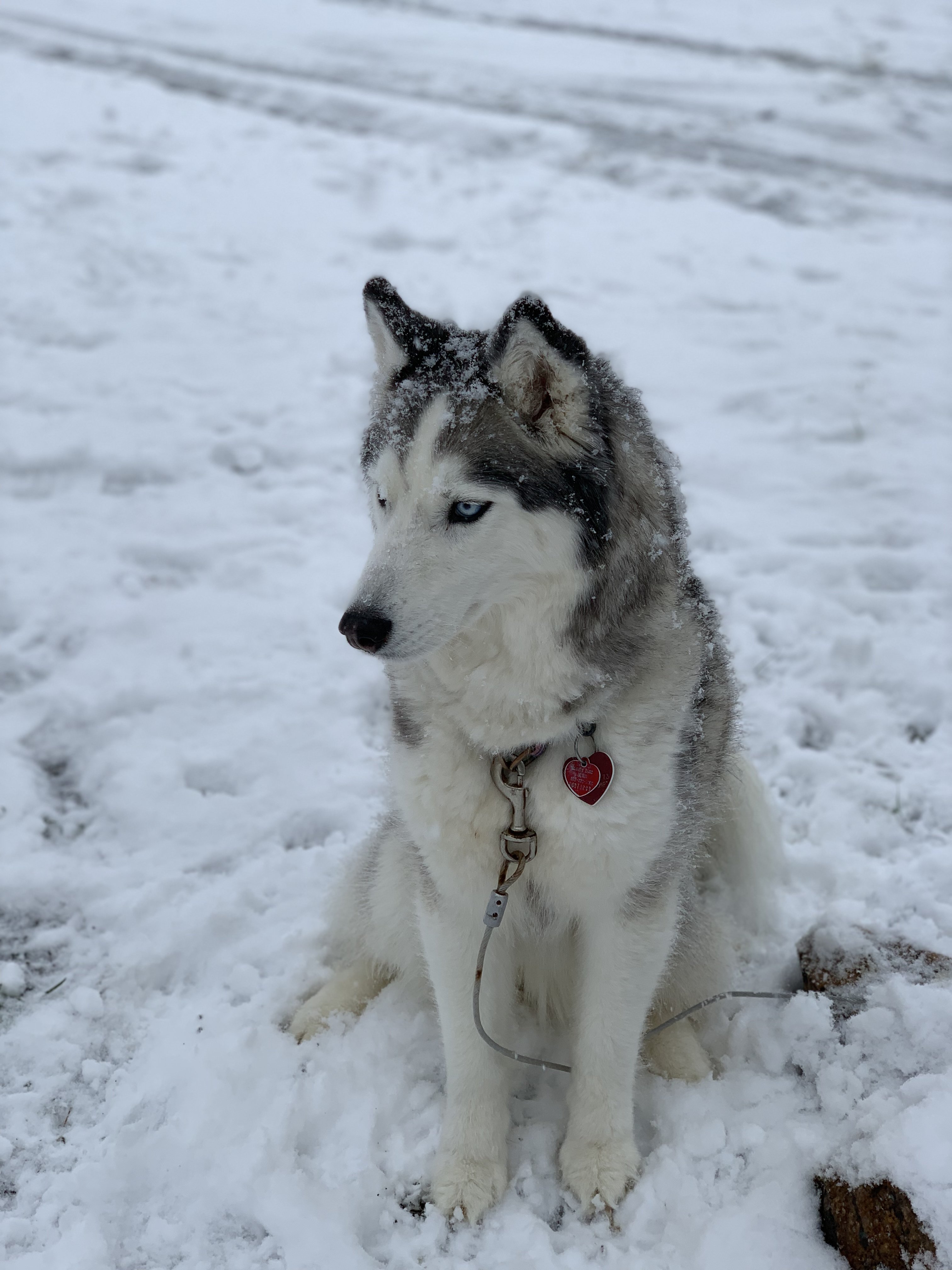
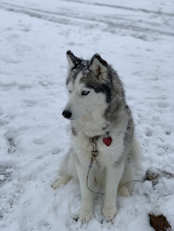
Her natural habitat
-
Are we allowed to post our own livestreams?
-
RIC is never prepared
-
This ice threat scares me
-
Yes
-
Didn't look at it, yet. Thank you! I'm hoping for 10
-
EURO has Richmond getting almost nothing andbty the other models cover us with snow. This is going to be interesting
-
-
Chestefield Courthouse, steady snow since about 8am. Doesn't seem to be lightning up. Radar shows nice bands coming in