Scarlet Pimpernel
-
Posts
7,804 -
Joined
-
Last visited
About Scarlet Pimpernel

Recent Profile Visitors
9,153 profile views


-
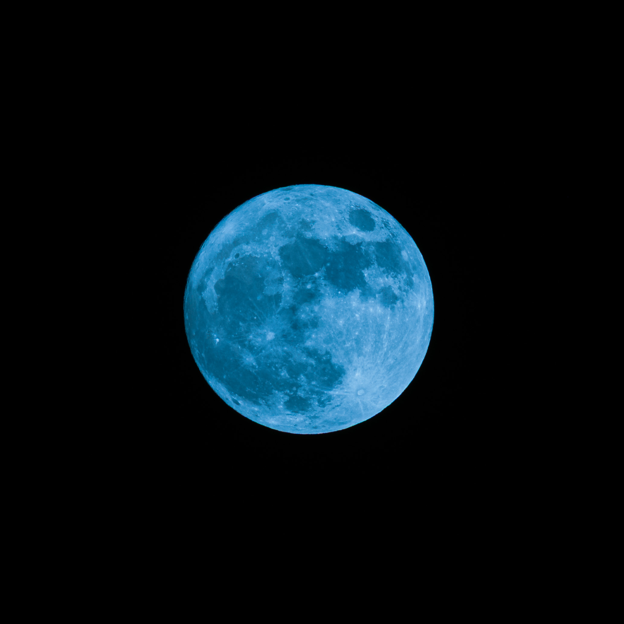
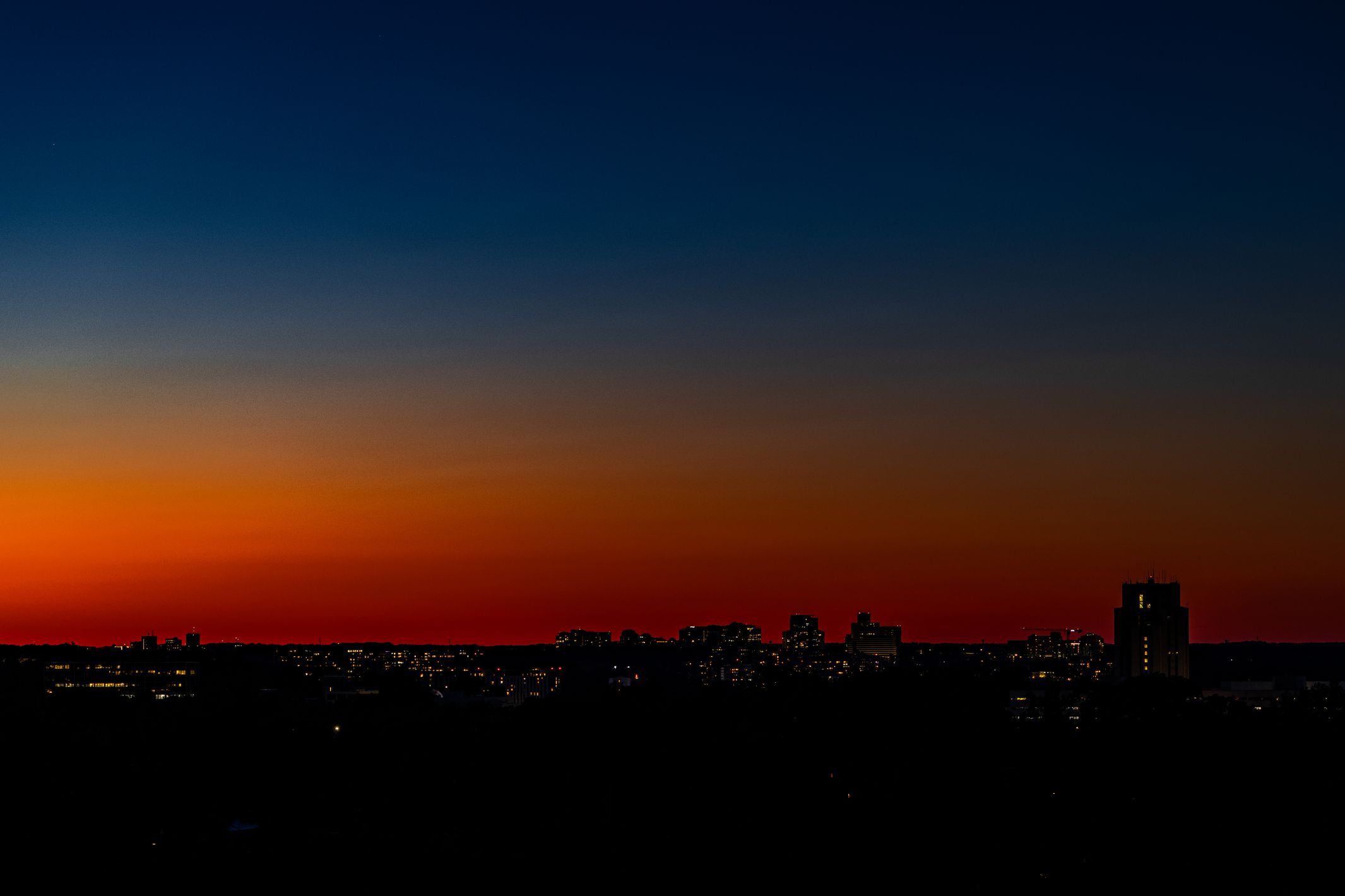
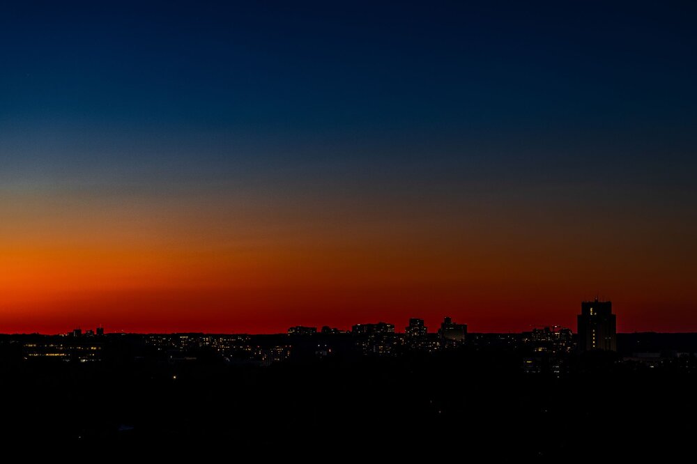
Took this photo of the "blue moon" this past weekend (2nd full moon in May). Altered the white balance and added some blue tint to make it a "blue" blue moon!! Also, same evening, some remarkable sunset glow to the north (looking toward Rockville, for those in the MD/DC/VA area).

- 25 replies
-
- 10
-

-
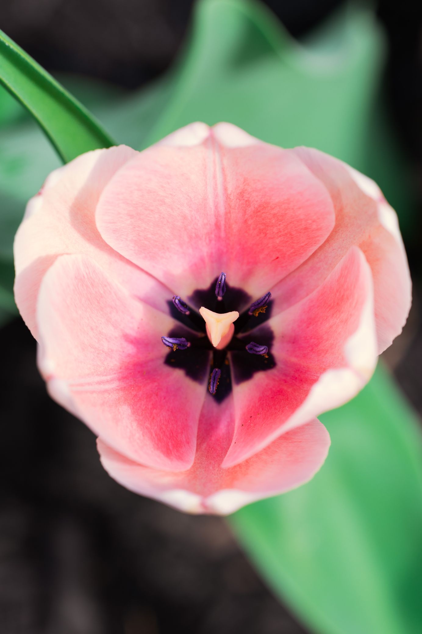
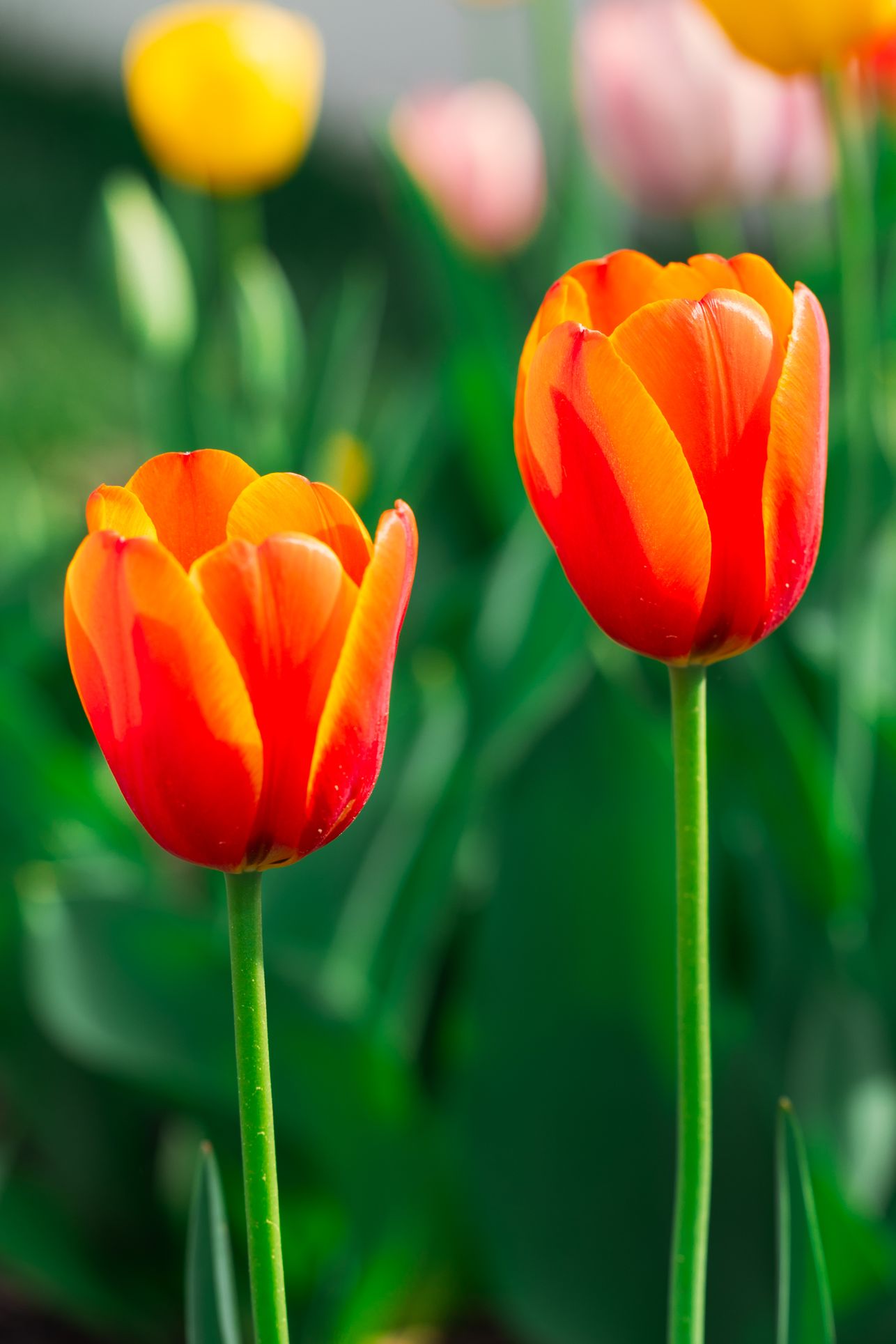
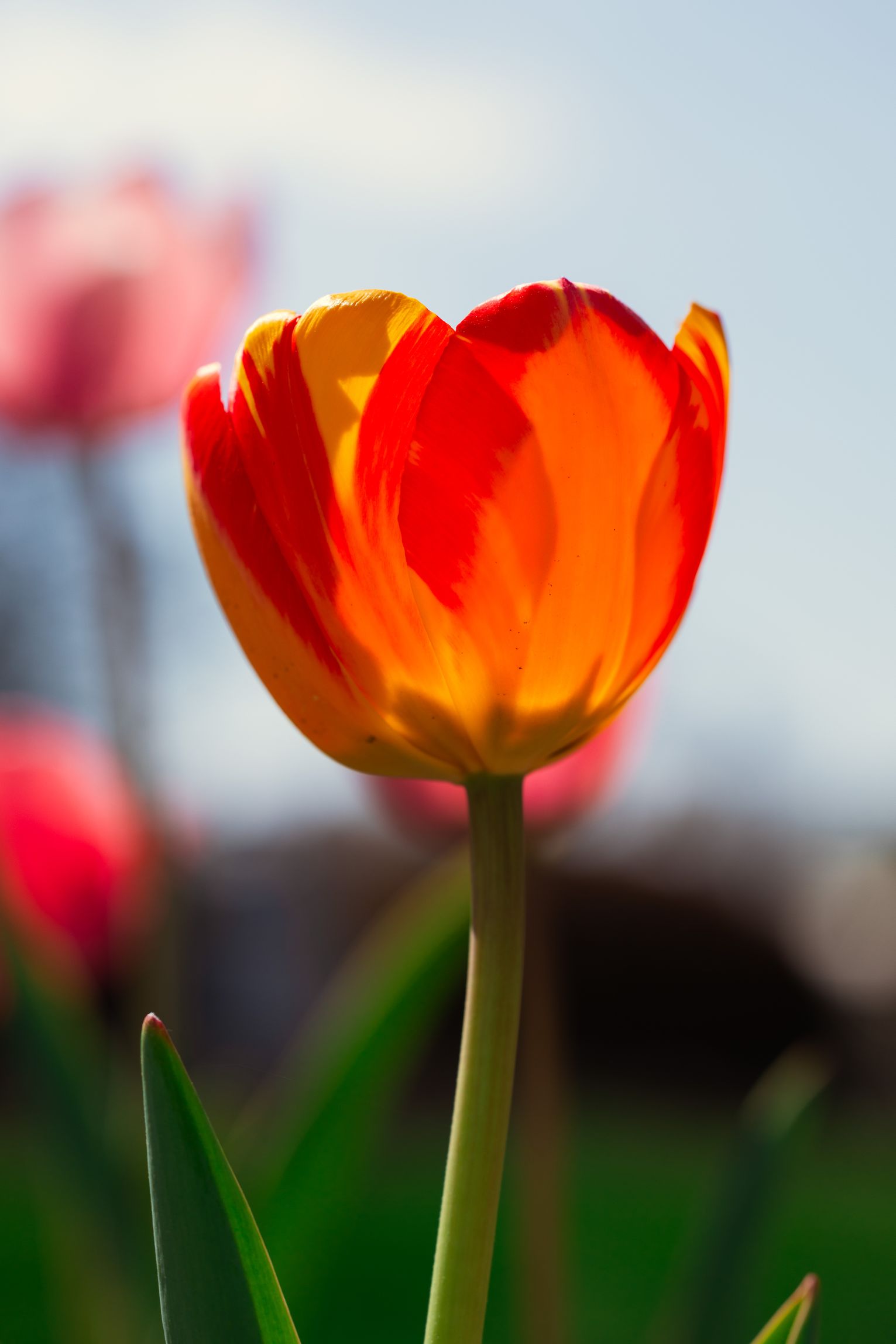
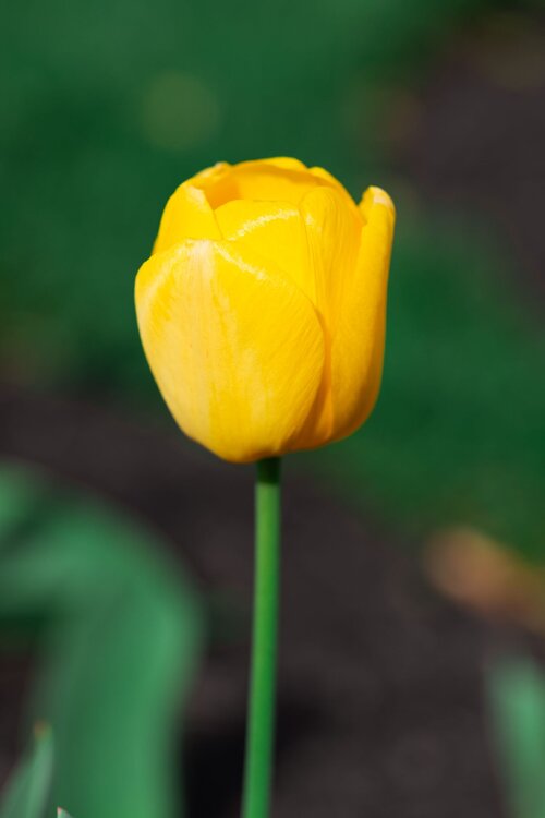
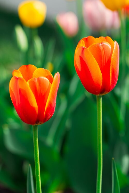
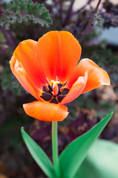
Happy Easter, happy spring to all! And @mappy, here are some tulips for you!!


-

It's time to grade Winter 2025-26(now that it's actually over)
Scarlet Pimpernel replied to CAPE's topic in Mid Atlantic
FYP!!! -
It's time to grade Winter 2025-26(now that it's actually over)
Scarlet Pimpernel replied to CAPE's topic in Mid Atlantic
OK in all seriousness I'd have to give it a B or B+. Yeah, we missed out on more snow which was indeed frustrating, but it's hard to top the 2 straight weeks below freezing, deep winter. And "snowcrete" was pretty cool, 5-6" snow with 2" sleet on top that turned into a solid layer that went nowhere for a long time. I could literally walk on top of it without pushing into the snow. And though we missed the big snow for February, I still got 3-4" when it fell at a good clip for awhile in the evening. Not to mention, the amazing turnaround with 80 degrees one day followed by half an inch or so of snow the next day in early March. -
So...snow on December 5th???
-
Amen!! I'm fine with 60s to 70s or so right now, but mid-upper 80s? Not yet, please!!! We'll have plenty of days (weeks!!) with oppressive heat in the 90s-plus and high humidity, that's a guarantee. Days where you feel like you'll just wilt or melt as soon as the sun hits you! I remember all too well the late spring and summer days when I was at Florida State University for grad school. Now THAT is oppressive, day in and day out with no break! It was always a sad day when that last cold front would go through north Florida sometime in early May...you knew there wouldn't be another one to bring in more refreshing air until nearly October!!
-
Not sure if you changed it once already, but yeah, there's some ridiculous amount of time to then change it yet again on one's own I believe (it's possible to do it once, basically, on your own). So I'm guessing that you had changed it sometime awhile back, thus got the "30,000 day" denial or something like that when you tried again more recently. I'm sure perhaps a mod would be able to go in there and change something to let you do it again. ETA: I'm tempted to suggest that you change your name to "The User formerly known as Prince[FredericWx]"!!
-
Just you wait until we see a tropical system near the Bay in late July that drops 24"+ snow on us for a cycle or two!!!
-

-
And thank you for keeping the faith, for the fun PBP (guys, folks...jaws!!) and commentary, and of course for being a Beethoven music lover! Until next winter then!
-
-
March 32nd snow is the best!!!
-
Dammit, you made me look!

-
The anti-FOLKS!!!