-
Posts
1,171 -
Joined
-
Last visited
Content Type
Profiles
Blogs
Forums
American Weather
Media Demo
Store
Gallery
Everything posted by BlunderStorm
-
Overnight we've gone from little more than a trace of snow to 2 inches and still climbing in JC. Roads with the exception of main thoroughfares have gone white but the plows are starting to catch-up. I have no morning update for Honaker but as of midnight 1.8 inches had accumulated on the deck so I imagine things are looking fluffy back in SWVA to say the least.
-
Downslope heating from the blue ridge this season has been an experience. Grass has been green since 10AM in downtown Johnson City. Precip was a fine mist between 12-3 but we're finally back to getting flakes.
-
Interesting clouds in JC this evening. Maybe it's a sign
-
I don't trust rain measurements on my weather station but it's showing 2.51 inches.
- 51 replies
-
- 2
-

-
The primary axis of precip is very stubborn. About 50 miles south of short range models and lifting at a snails pace. Quite a gully washer. The longer it drags the less of a reprieve until the cold front arcs the line of precip back over. Not looking good.
- 51 replies
-
- 1
-

-
In what can be described as a massive overperformance temperatures have stayed under forecast with noon sitting at 33 in Honaker with very wet flakes falling. Nearly 5 inches of snow at 2100ft has fallen since the early morning hours compacting to 4 inches. (image and measurements compliments of my sister) Unfortunately, I'm missing this one sitting in JC enjoying a nice cold drizzle.
- 470 replies
-
- 10
-

-

-

-
Big flakes falling at moderate to high rates. The previous snowpack partially survived and is being built upon again! Thus far it seems the upgrade to WSW was locally justified. 29.5F / 27DP
- 207 replies
-
- 4
-

-
- obs
- light snow
-
(and 2 more)
Tagged with:
-
This is a question better suited for carver but I think a big factor in it (not all) comes down to bad luck over the past decade. One factor that can limit systems is increased distance from the gulf and maybe some slight rain shadowing from the blue ridge. That ignores generally more favorable historic climatology overall though. As for the models I don't know if it's recency bias but they do seem to provide more amped solutions than reality. (though part of that is the illusion of attributing all snowfall as accumulation which doesn't account for mixing, compression, and surface melt.)
-
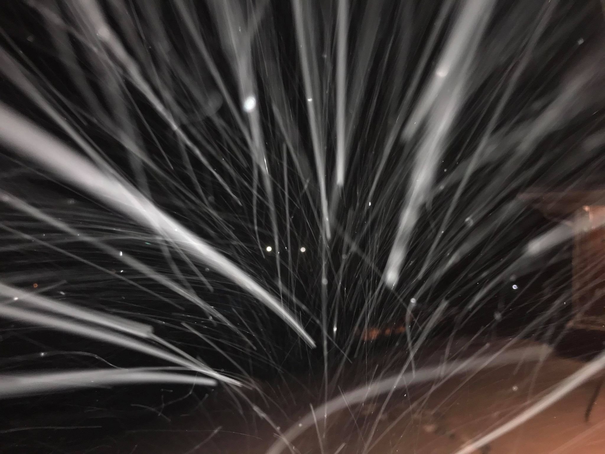
Strong snow showers have returned this morning, conditions remain ideal with a temp of 26 and dp of 22. Visibility is down to half a mile which I'd consider moderate. The status of the road has been an ongoing battle all night with it starting to turn white again. The trucks will be back in force soon hopefully. No measurements yet but all spots are north of 6inches deep I'd estimate.
-
It's currently 27.1 with a dp of 24.4. The day ended with a total of 2.7 inches. Since then a final 0.1 inches have slipped to the surface. It would be fair to consider the event here an underperformance though not quite a bust as the storm had strong effects on travel and had built upon the last storm. I suspect some NW flakes may have something to say about it later tonight or tomorrow but as of the last hour it's been drizzling. Not even 37 N was completely safe from the WAA haha. The primary issue was the weak precip shield whether it was lack of moisture or limited lift. The day was beautiful and with this final glaze the half foot snowpack will only become more resilient. It's been fun seeing the results of this one.
-
It's not too often you glance at an NWS hazard map and get greeted with a solid wall of pink WSW.
-
I imagine the purpose of this thread today is Nowcasting and weather model verification.
-
Wow looks like Blacksburg read my post, they specifically added Tazewell and Smyth counties along with the blue ridge counties. In all seriousness I am glad they are treating this system seriously.
-
Now, if only NWS Blacksburg would be willing to include Tazewell and Smyth counties in a WSW... The microclimates usually shift crossing between the Tennessee and New River valleys.
-
The 6z Ukie 10:1 looks good staying true to its prior run but leaves some to be desired for SWVA folks. The 9z RAP meanwhile was perfect for SWVA but left Chatty and some other eastern valley locations a bit sketchy.
-
GFS sticks to its guns and ups totals slightly.
-
6z GFS rolling


