ajr
-
Posts
379 -
Joined
-
Last visited
Content Type
Profiles
Blogs
Forums
American Weather
Media Demo
Store
Gallery
Everything posted by ajr
-
The 12z GFS/GEFS/FV3 suite is good for NC/SC around March 4-6... starting to show something promising with consistency.
-
850 level looks cold enough
-
I really think this may be an RDU-FAY special
-
From what I saw posted elsewhere, 6z EPS looks even better than 0z for Carolina folks. Maybe this isn’t a drill folks!
-
18z GFS took a nice step in our favor for 1/20 - looks like maybe less interaction with the northern energy keeping the system a little further south?

-
Just for fun, the 12z FV3 has about the mother of all snowstorms out in fantasy land around hours 324-348 -- spots of 2"+ QPF and all snow through SE NC into SC.
-
Earlier phase too it looks like - MA should be happy
-
Verbatim looks to be around the northern border counties on the GFS -- obviously it's going to move around a bunch the next few days
-
That's a CAD signature if I ever saw one (shame the 850s are still warm though)
-
GFS turned into a southern slider.. looks like mainly driven by the jetstream flattening out and good confluence up north. Hopefully not a blip and trends continue for NC/SC
-
Crankywxguy’s blog has some helpful info — essentially it’ll all come down to how the waves phase and progress.. the northern pacific is complex right now with multiple waves/interactions. May be best to wait a few days for the pieces to develop before going all-in one way or another.
-
Yep - Miller A didn’t show up until a few days before if I remember correctly.
-
6z FV3 fairly similar to the GFS
-
6z GFS is an apps runner still - looks like the northern stream energy drags the whole system north with a big phase over New York into New England
-
The 0z euro held steady with snow (light mainly) for CLT to RDU and points north and west
-
Random but why is the GFS still active? I thought it was supposed to change to the FV3 by now?
-
12z FV3 with several interesting possibilities..
-
Where are you seeing that? To me this looks like a rain sounding?
-
Looking back on the Jan 2018 storm thread you posted something similar.. hopefully an auspicious sign
-
Here’s Eric Webb’s forecast.. Seems reasonable
-
The NAM is still really concerning for central NC... I just don’t see how we get the snowfall amounts RAH is predicting. Ice? Yes, unfortunately. It’s a good reminder for us that in some of our “bust” events (Jan 2017 for example) the NAM has been pretty spot on with sniffing out the warm nose that greatly degrade snow totals and accumulations. The warm nose forecasted by the NAM here is specifically mentioned in RAH discussion this morning. For central NC I think it’ll come down to observations at this point and how CAD develops, etc.
-
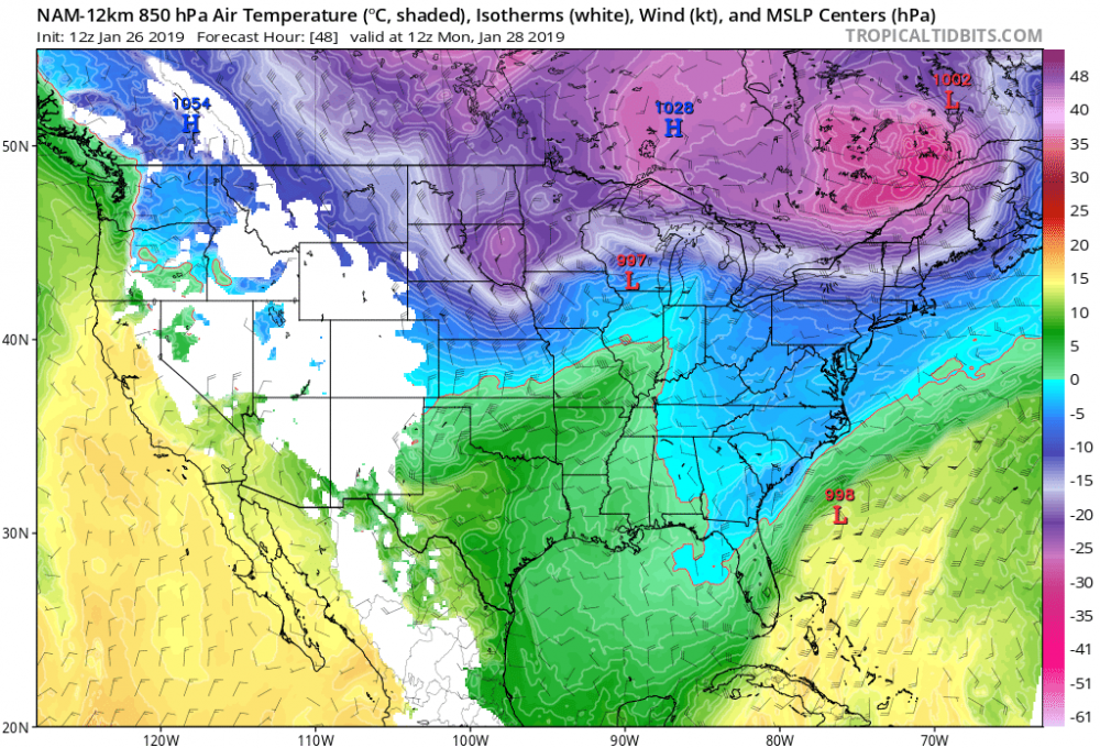
Definitely warmer... the HP up north has retreated some
-
SREF favors rain for RDU at almost all time points