STILL N OF PIKE
-
Posts
14,848 -
Joined
-
Last visited
Content Type
Profiles
Blogs
Forums
American Weather
Media Demo
Store
Gallery
Everything posted by STILL N OF PIKE
-
It’s reporting MPM’s car readings if I’m correct
-
Fall 2019 New England Banter and Disco
STILL N OF PIKE replied to NorEastermass128's topic in New England
Can we move EEE talk somewhere else awesome -
60F
-
Fall 2019 New England Banter and Disco
STILL N OF PIKE replied to NorEastermass128's topic in New England
Torch days and days of 80’s forecast and now down to about 12-18 hours of 70+ biggrst torch fail I’ve seen -
Torch Today
-
The whole Merrimack valley is dry was a very very wet 12 months prior to July let’s hope that rubber band dries us out nicely November to March, that Will be great
-
Rye on the rocks nicely positioned to se SE long period swell boom Tuesday
-
Yup and swells in exposed areas to the SE/E see overwash Tuesday
-
Summer 2019 New England Banter and Disco
STILL N OF PIKE replied to CapturedNature's topic in New England
Nudity gimme extreme any day I imagine James would be stuck to his sheets -
What a failed Torch this week. Wednesday 80’s are now mid 50’s on 12z nam. Gfs still had 80’s far southern zones early p.m Wednesday . timing of that boundary Is obviously key
-
Torch forecasts this week are an Epic fail 70 Tuesday 55 by Wednesday P.m for N of Pike jist an epic epic diatater of a forecast
-
I gotta upload some manana
-
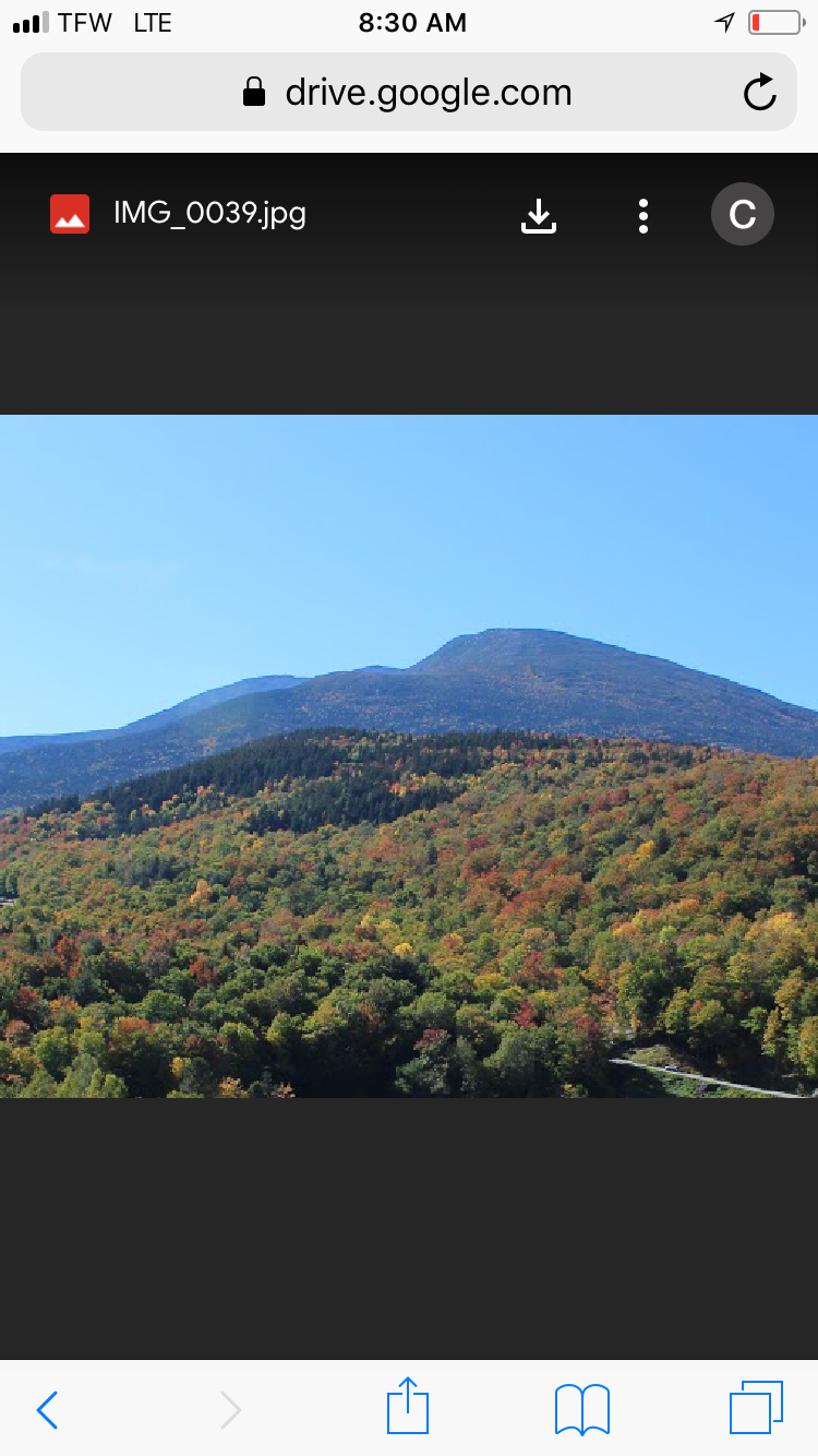
Was so nice hiking along the trail on the six mile road to the cog railway Saturday pm before the rain and clouds . About 1700-1800’ and the leaves were gently falling in the woods with little wind gusts and temps in upper 60’s. Felt amazing . There was color on the Kanc just higher above the hair pin turn in the adjacent hillside and on the next little stop higher up that faces same direction. That was the two best pockets by far . Right around 1800-2k
-
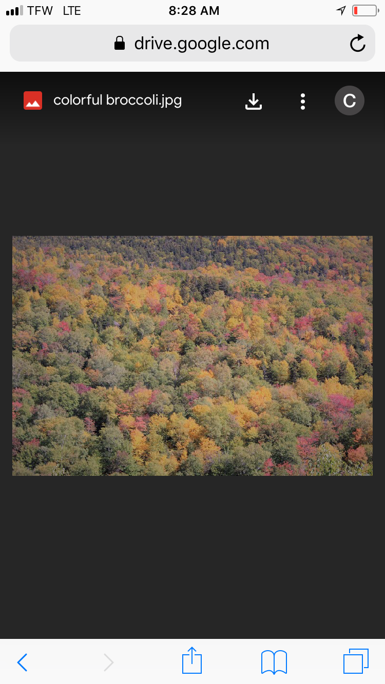
I was up in N NH yesterday bjg change when you go north of Jackson and reach Wildcat color really begins popping, the Mount Washington Auto road forest looks great and across the road is very good. Bretton Woods is popping very nicely as well . Kancamangus was underwhelming . Go north was near peak
-
Are you sailing to the Flemish cap?
-
What a gradient that was. Epic amount of winter rain systems. 15?
-
18z gfs Friday nite /Saturday am looks interesting to watch in NH /Maine elevations. Pop that a tad closer and stronger
-
Was quite warm in Franconia notch and the back lawn at Mount Washington temps weren’t cooling much on auto road between 1600-4300’. (6-7 degrees) that changed around 3pm when summers back got broken . Many peeps probably up hiking Washington caught in that rain
-
Ya and the nam was on top of ML Warming w snow accums per usual
-
Where is the morning torch talk ?
-
Kuro next week? Shows ...
-
Wouldn’t forky be posting if there was some epic torch on the way Sat and next week looks nice , no high dews
-
When I think nice long period swell I look at the YouTube vids of perfect storm sending humongous NE swell down into Palm beach Surprising many . Accounts of one day had 3-4 foot NE swell jacking up to 20 feet on bouys by Afternoonin Palm beach from perfect storm far away 18 feet @20 seconds was peak swell
-
I’m just glad it’s not that late Sept 2017 pattern with constant deep southerly flow and nites in mid 60’s inland . Albany had like 4 straight record highs , 3 above 90 late Sept 2017 This is a very dry pattern and dews are pretty nice away from South coast but ya ...you want 80 in Early October...become a snow bird