STILL N OF PIKE
-
Posts
14,848 -
Joined
-
Last visited
Content Type
Profiles
Blogs
Forums
American Weather
Media Demo
Store
Gallery
Everything posted by STILL N OF PIKE
-
Is that snow in SE mass under those echoes forcing pulsing back up?
-
Radar looks ..”.Shreddy “
-
I did as well
-
We shall see if it pounds next 2.5 hours they will be off for metro west and Essex county
-
I would say waggons north on big accums . Mitch to MHT north ...and maybe some spots on E slopes of hills in N SNE. Maybe will can slap me and say I’m off? Hopefully
-
The high will save us wait ....
-
Nam Brought 850/925’s north faster . I.E 8pm to ASH Pouring snow in KBED
-
Nam brought the warmth north faster so i will lean on nam’s 6-9 hour temp profiles over hrrr
-
You see a nice gradient between KBED and ASH? , seems even ASH may mix by 7-8pm if nam is correct and has the gradient between Nashua and MHT
-
Did you flip to pingers
-
This should rock KBED Shortly 33
-
33 in KBED
-
So do I im in KBED dont wanna be stuck in 3-4” mashed potato to rain while Nashua pounds
-
How Far East is that radar precip reaching ground in box radar
-
This is a Wild now cast on way.
-
What’s 24 hour QPF
-
Hi , don’t forget pickster
-
Euro at 6z was nuts tuff to get a handle on this
-
Don’t you actually upslope on ESE flow I.E added lift and cooling unless W RI mucks that up a bit but your higher I’m hoping you pound this afternoon man
-
Rgem must have hellacious lift i see on the nam around 730 pm or so the winds change from a uniform ESE trajectory to more of a ne/se coastal front set up minus any big temp gradient ...this sets up just E of ASH down west end of 495
-
Has box not updated their map ...since yesterday at 4pm last map looked like pure elevation (4pm map)
-
Euro ugh ....was 12z better . That looked meh
-
Probably waiting to see how 850-925’s look at 0z
-
Pretty dang cold out currently
-
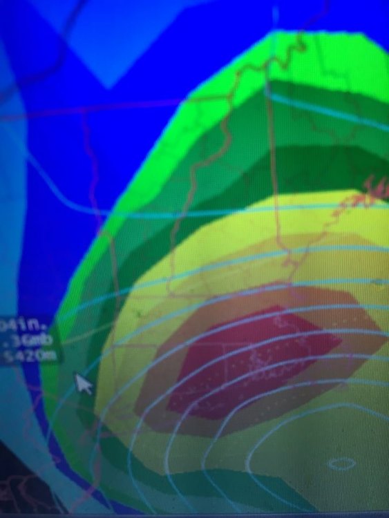
Its seriously sooo close to go time with this folks..that are a bit north and inland ...but we have a somewhat rare and large shot for a big surprise snow event down near pike and even a tad south.....we saw some good trends if anyone wants a snow storm to distract them. Nobody will be out. How often do we see this from the GFS for a 6 hour total.