TullyHeel
-
Posts
12,875 -
Joined
-
Last visited
Content Type
Profiles
Blogs
Forums
American Weather
Media Demo
Store
Gallery
Everything posted by TullyHeel
-
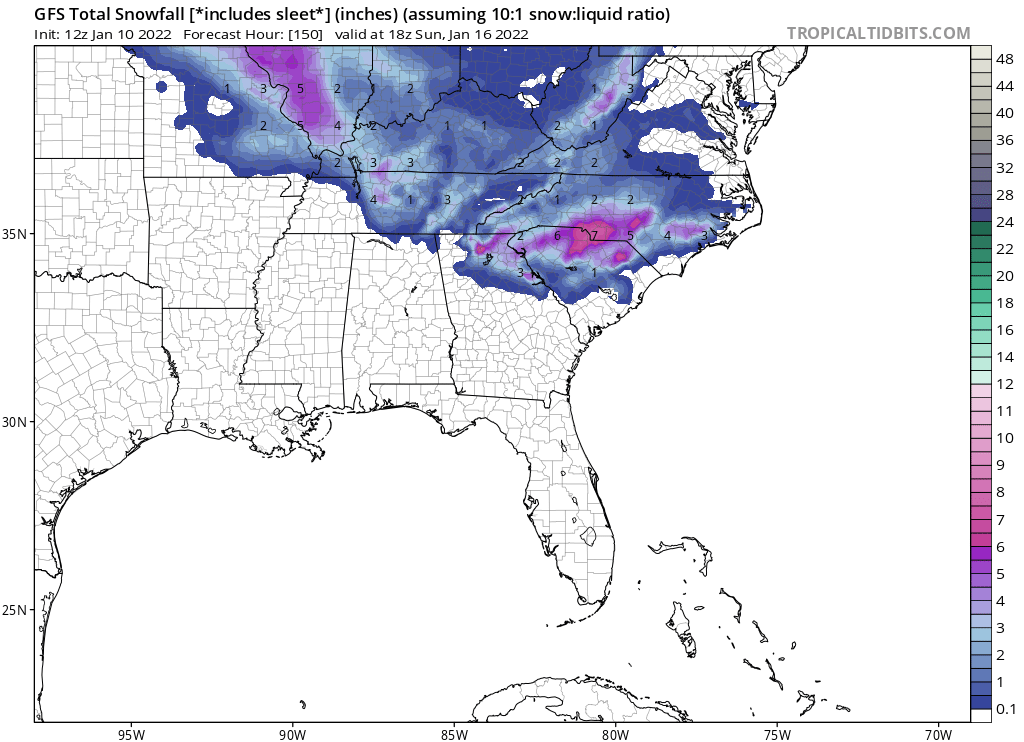
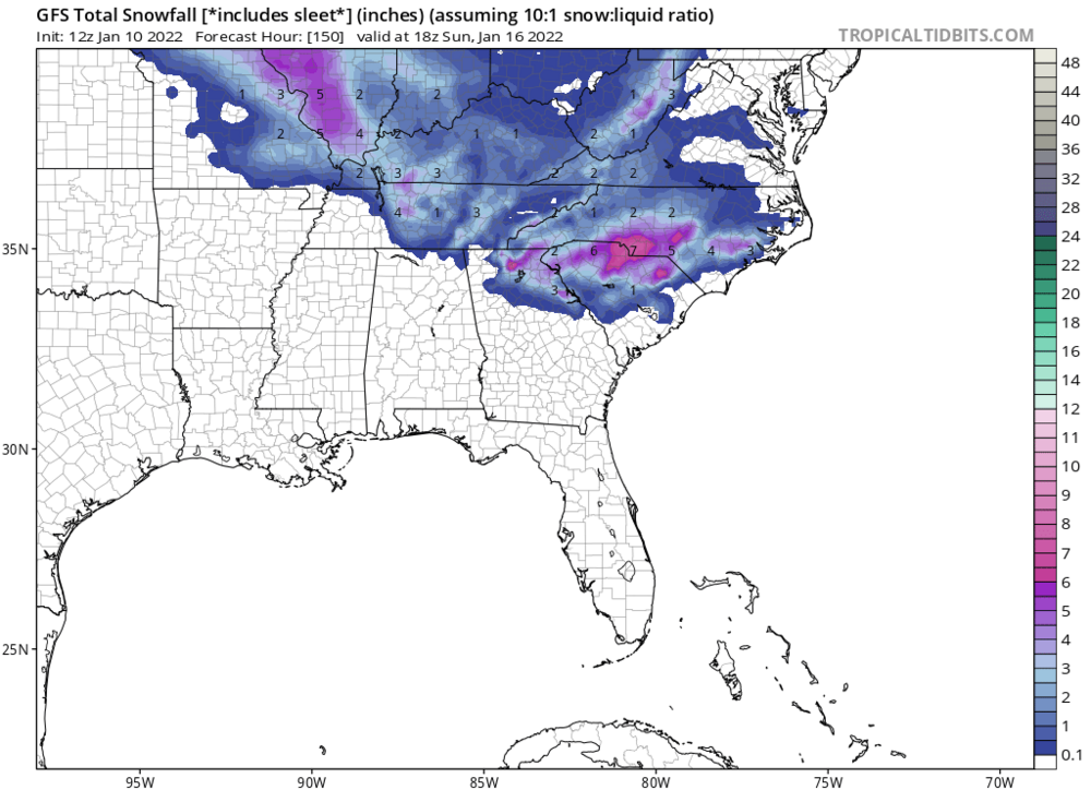
CMC might have been the first one to hint at it.
-
Temps in the 20s in NC with the snow. And GFS might have another system on its heels.
-
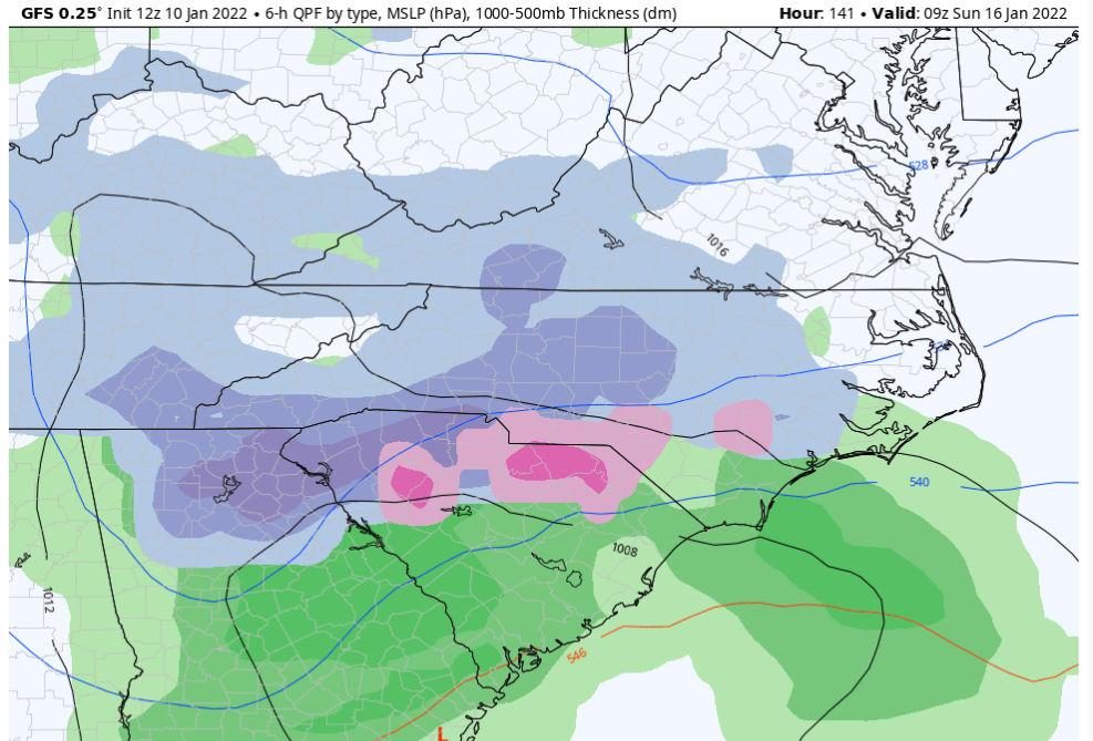
GFS says we're a go!
-
GFS looks to be coming in good, too.
-
-
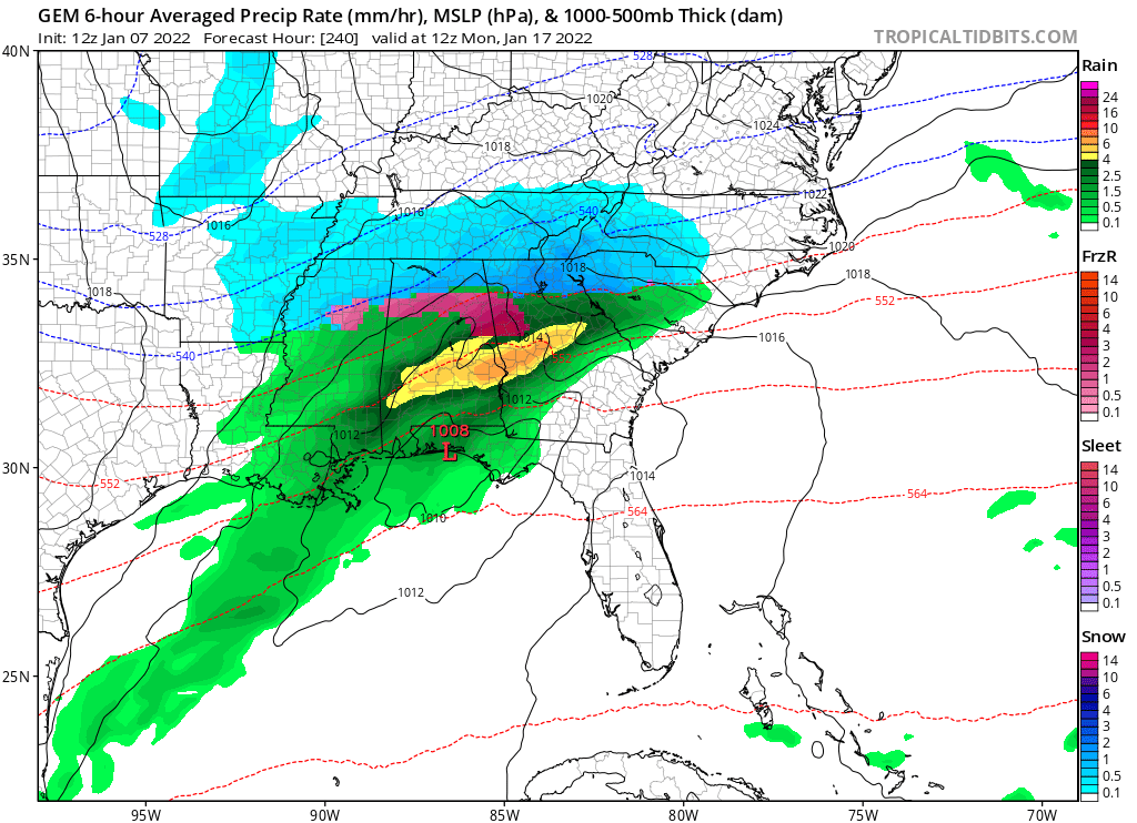
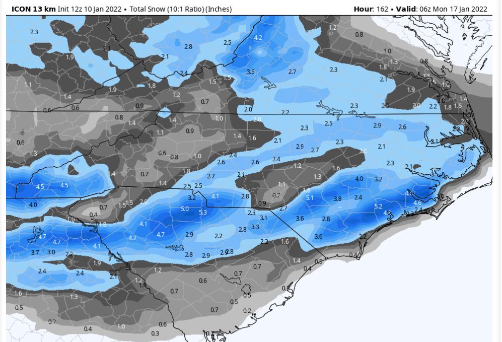
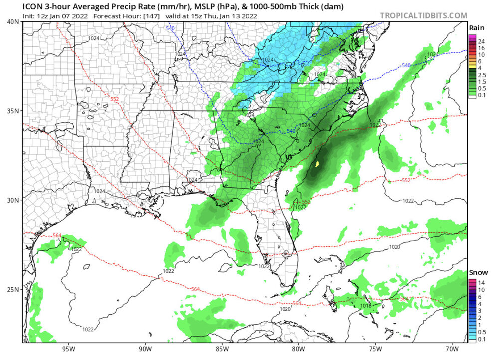
ICON has a storm for this weekend. This weekend into next week is looking promising for multiple chances.
-
EURO came in suppressed. Might not be a bad thing this far out.
-
Yes, it does seem we get some good storms the second half of January.
-
I think the 13th to the 20th period is looking very promising.
-
End of the CMC looks good.

-
CMC looks similar to the ICON.
-
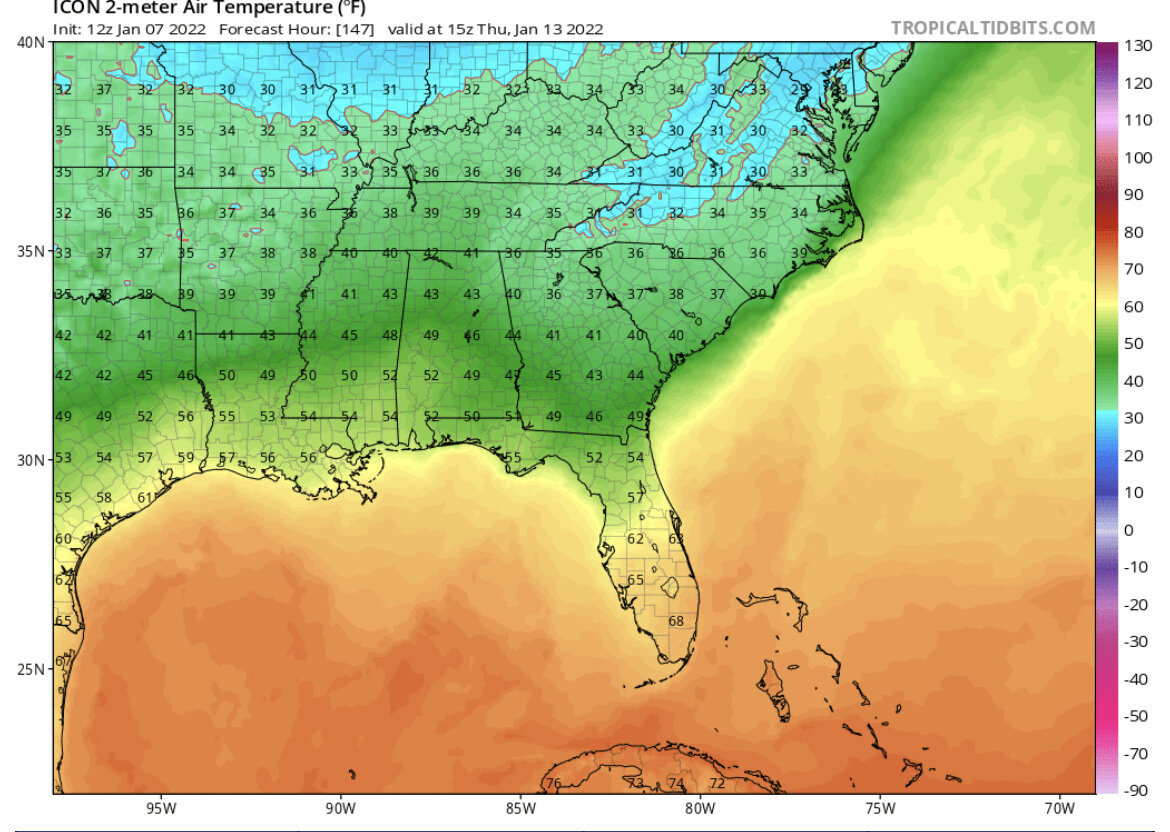
ICON is close to showing something good for next week. I would rather see something like this show up less than a week out than a 10 day out storm that never actually happens. Also would rather see temps between 34 and say 28 than a hard freeze that usually just means cold and dry.

-
The models are starting to honk more for that time period.
-
Not anymore. The average has been steadily decreasing.
-
I'm not sure if it's just harder to get a pattern that historically produces snow here in the past, if those patterns just don't produce snow like they used to, or the historically great patterns show up on the medium to long range on the models but then change and never happen down the road. Maybe it's all three. Former local met Greg Fishel said the air off the ocean makes it harder for my area to get snow compared to further west in NC. I wonder if the warming of the oceans is making that more and more of a factor in limiting snow here.
-
Latest Euro ensembles had two big dogs for NC and the rest had nothing outside the mountains around the 19th and 20th. Yesterday the GFS had a storm here during the same time frame. Maybe they are starting to sniff out something.
-
Hey, can I send you a message or can you send me one? I tried to send you one but it said you can't receive messages.
-
The ground temp argument has been disproved time and time again.
-
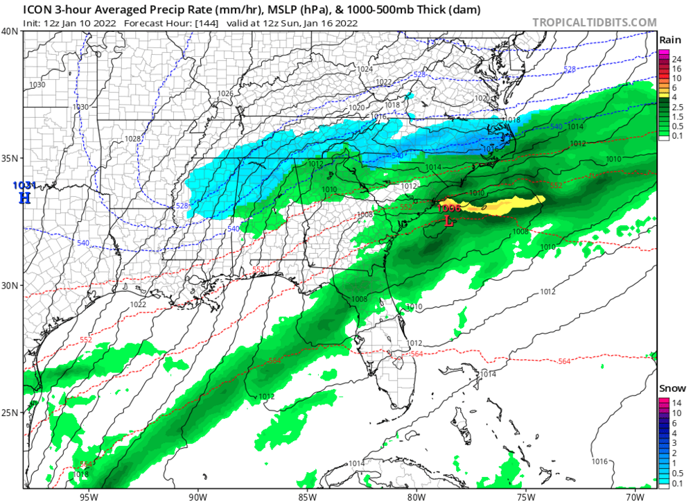
Just need the rates to stay steady. Tapers off here and it's more rain. Gets heavier and it's all snow.
-
All snow now.
-
Snow mixing in here in north Raleigh.
-
A lot of folks were expecting Ida to rapidly intensify into a major cane. It's happened often the past few years. Looks like she is looking ready to blow up.
-
59 and still foggy and drizzling here. Not sure we'll ever get clearing in time for any storms.
-
Once again the clouds hang around here and looks like the wedge holds on and wins again. We have seen it time and time again. People that aren't even mets were predicting this would happen here today. It is what has been happening 9 out of 10 times here the last decade whenever we have a supposedly big threat. It feels like the models are just fooling us time and time again and don't know how to handle things in our current climate. Same thing happens all the time with winter storm threats, too. Bad thing is the local mets have been really hyping the threat here today, and the one time it actually does happen people won't be listening.
-
Personally, I don't think the models can keep up with how the climate has changed.