SENC
-
Posts
910 -
Joined
-
Last visited
Content Type
Profiles
Blogs
Forums
American Weather
Media Demo
Store
Gallery
Everything posted by SENC
-
Cold AF starting next Mon? Ocean Effect Snow Showers here along the beaches?

-
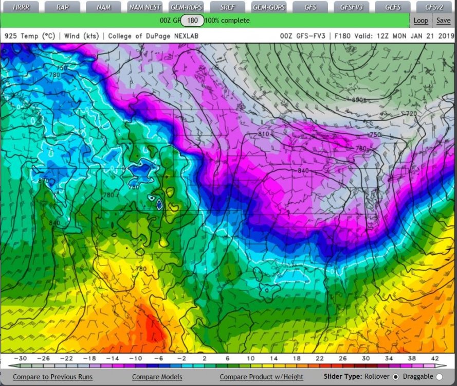
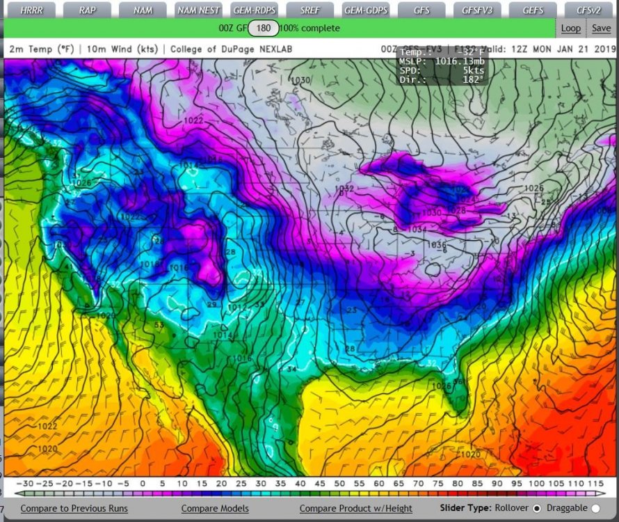
My Local NWS calling for Snow Showers on the 21st, (Monday next week) this is what the GFSFV3 is showing.. What is to be believed ??
-
mid-50's highs in the 60 on the coast, bank on it.. I'll be Mullet fishing..
-
The Jan of 85 "outbreak" had Me Stationed in Ft. Knox KY. With broken heat in our Barracks.. BRUTAL.. We had to go & start & keep our APC's tanks etc, every 6 hours or so, cranked up to be "mission ready".. Many below ZERO Days & nights.. I mostly stayed in My Recovery vehicle, running, a M-578.. To keep warm, I camped out in this bad boy.. BOT: My Local NWS is calling for snow Showers in the AM on the 21st..
-
40's and 50's,,, Mullet fishing on the coast..
-
Happy New years everyone.. At this point, I'm goona move too Portland or Seattle Wash.. They are getting MORE sun etc than I am in Wilmington.. Lordy... I feel like I'm living in the PNW!.. (Pacific NorthWest)
-
examples.. On the "extremes".. What have you got @LithiaWx?? Cold as a Witches...… T**Ts ,, First picture Or.. Secondly.. second Warm winter.. And Bikinis

-
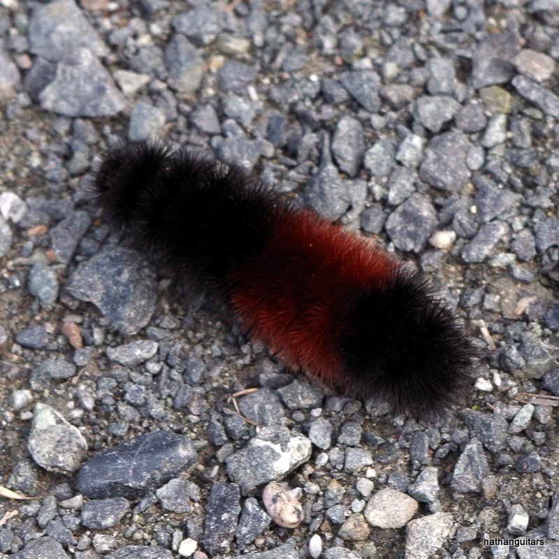
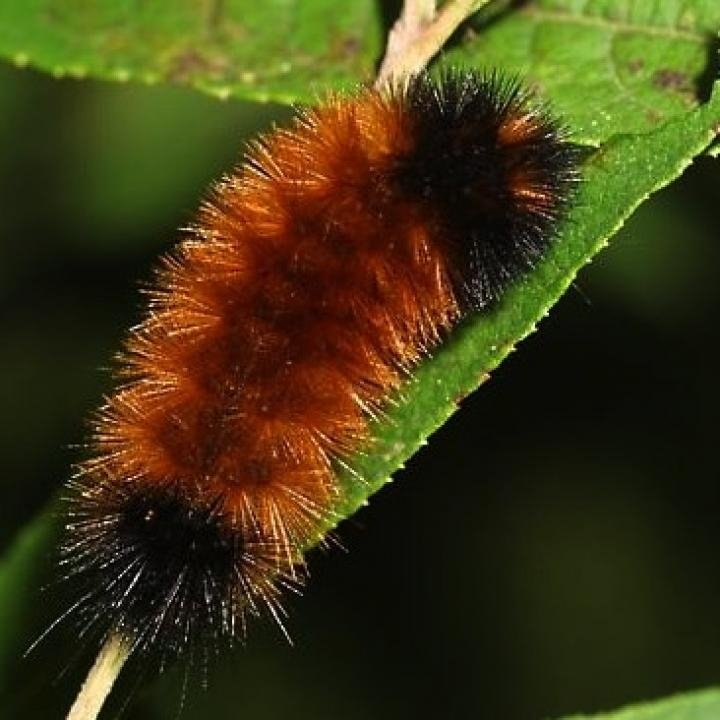
cold & cool & cold? depends on the length of the Bands of color.. from the trusty Farmers Alamac Full story here.. https://www.almanac.com/content/woolly-bear-caterpillars-and-weather-prediction# Keep your picture for Posterity, see what happens.. It would really be a cool thing to Discuss! As to upcoming weather! @LithiaWx take your pic,,,, open it in paint, go too "resize" use 50 X 50 until it's "fits" into the forum limits.. (I hope I could help)..
-
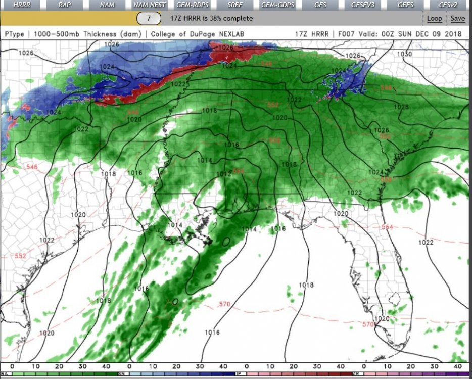
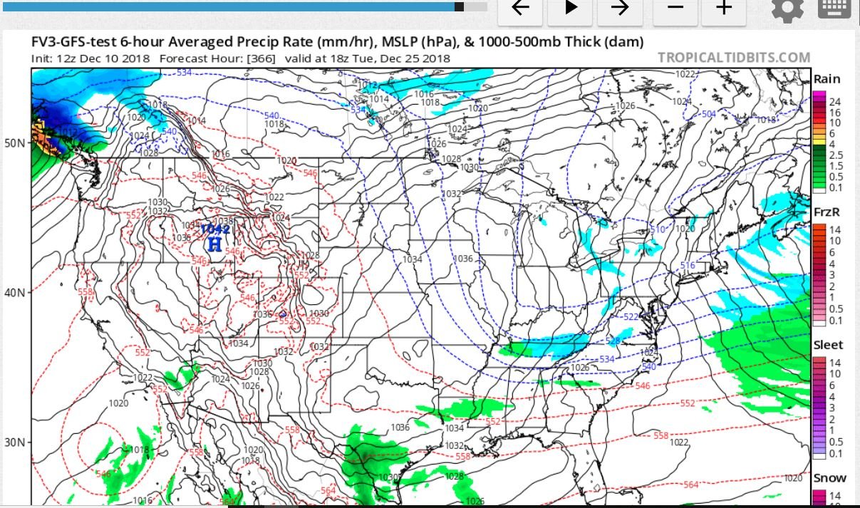
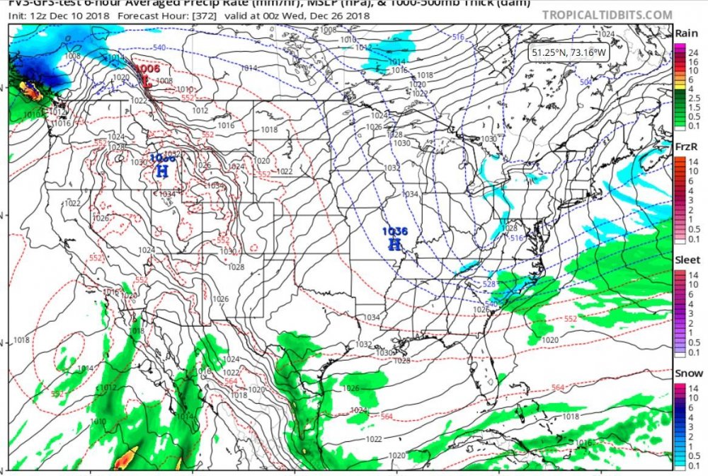
OH MY, If the GFSFV3 comes to Fruition..that is some pipebusting cold, even down to ILM... after the 3rd.. Plenty of chances at wintery fun down here!
-
….
-
Can I quote you on that? We'll see how this ages over time..
-
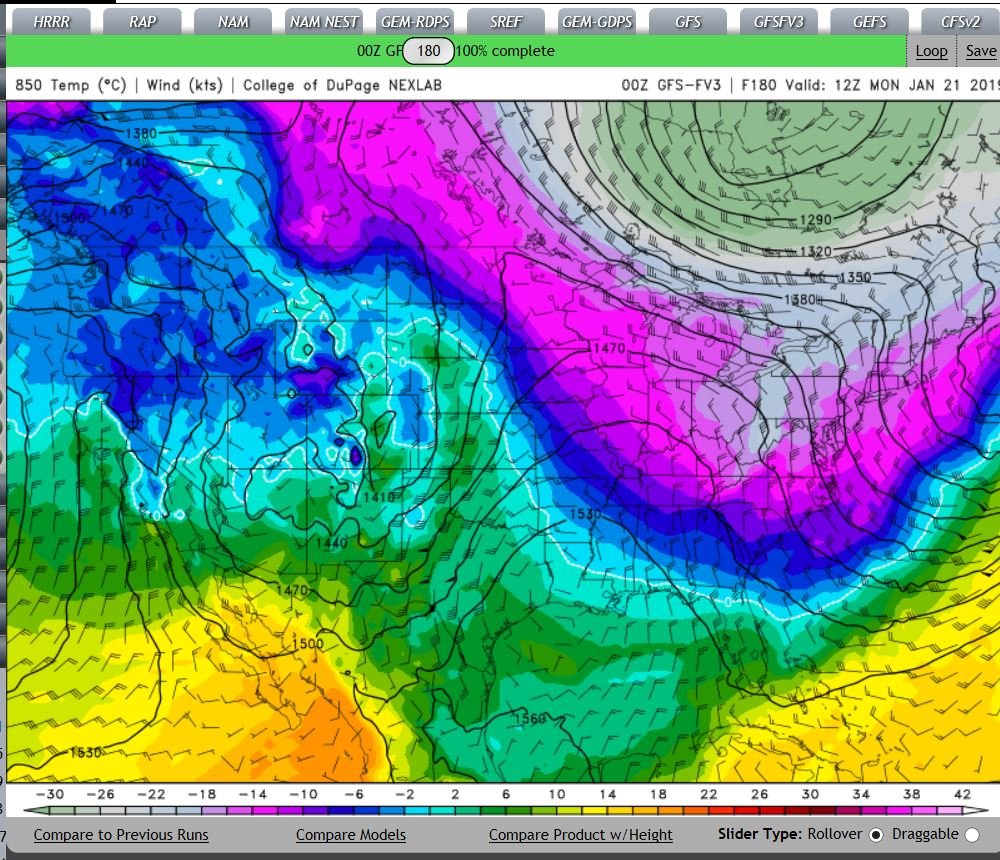
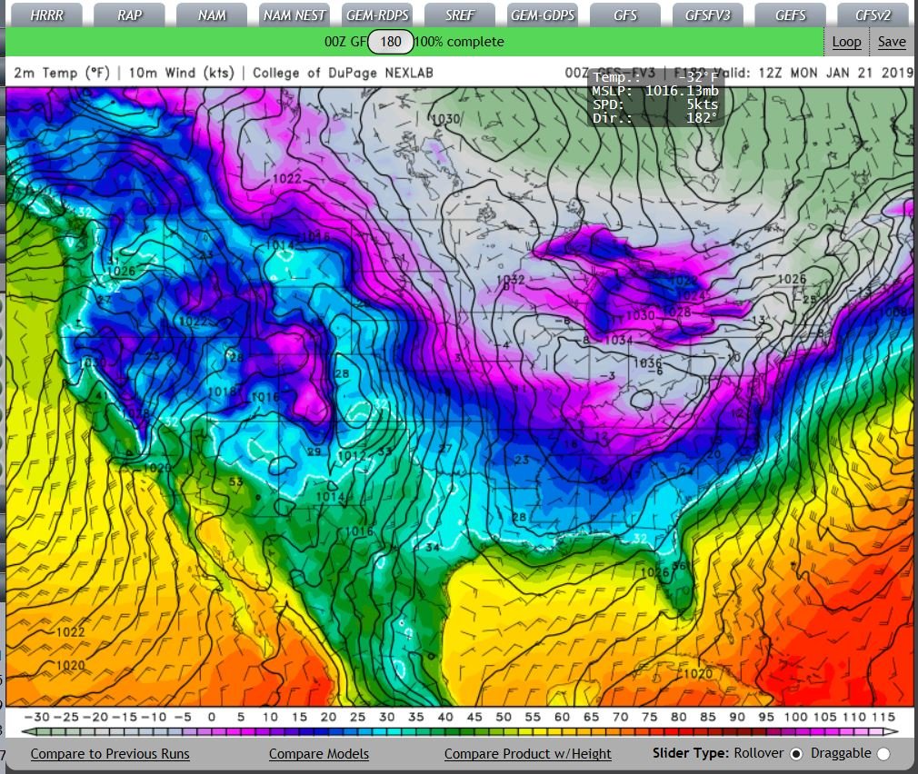
Well, the FV3-GFS is HINTING for something possible happening..

-
I'm "experiencing" Extremely Light snow Flurries" ATM, Pixel sized flakes, But,, it IS SNOWING here in WILM!
-
Thank you for the Kind words.. Wish I could report something other than wind driven Cold Rain though, it is, what it is living around ILM.. that's life.. I feel "Our" probabilities here in SENC & SC are Certainly, "elevated" to get a Wintery event over the course of this Winter.. Hope your "pregnancy" goes well for you & your Sig other on a healthy Girl..
-
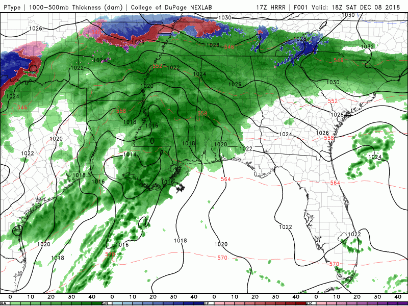
@Orangeburgwx We just may get a second chance. (I saw a few big wet sloppy flakes about 5:30 am this morning, so theres that)… Local AFD here. Concerning the ULL.. However later tonight a deformation zone and or east to west 850-700mb frontogenesis band develops within the complex mid level pattern. This area will take up residence just along our northern zones or close proximity to. Although deep moisture will be limited, the dynamics of this feature will allow showers and or areas of rain to develop moreso during the day Monday. I don't expect anything heavy or any wintry precipitation, but the extended duration of light rain and or showers could add up to quarter to half an inch or so. Don't expect too much movement in temperatures with the main storyline being much cooler Monday as cold air advection behind departing surface low pressure warrants. (lets hope things trend COLDER!)..
-
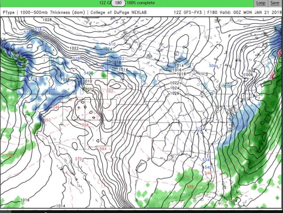
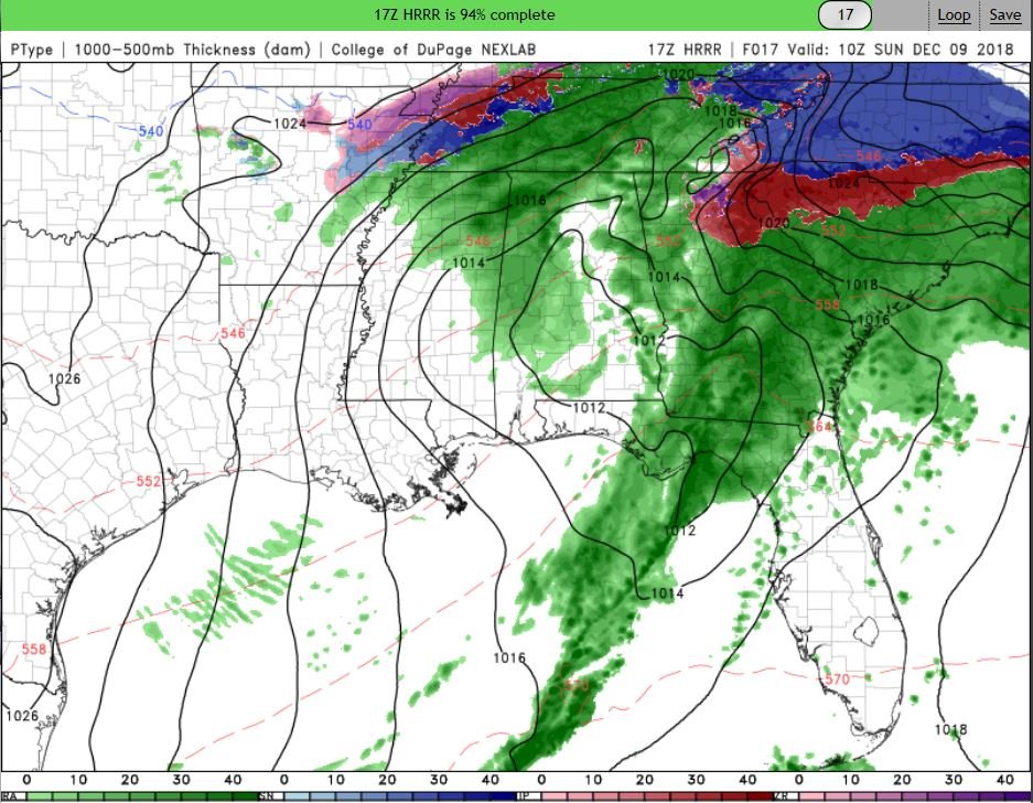
Our Local NWS has this too say.. I think as this Storm overperformed the UUL will also?
-
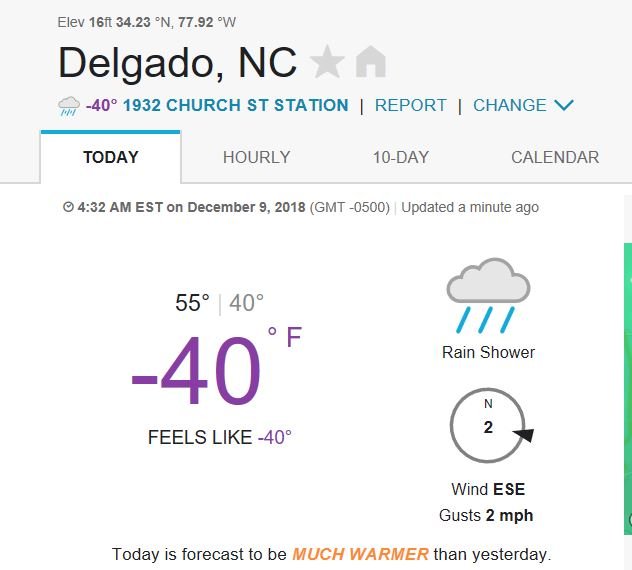
Oh My look at this Station report.. (Here in Wilmington.. ) Talk about that Amazing CAD!
-
Shades of the 2017, bust.. Just IMOP,(and I was rooting for ya'll!)..
-
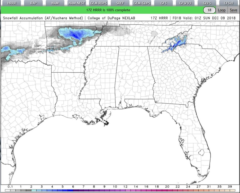
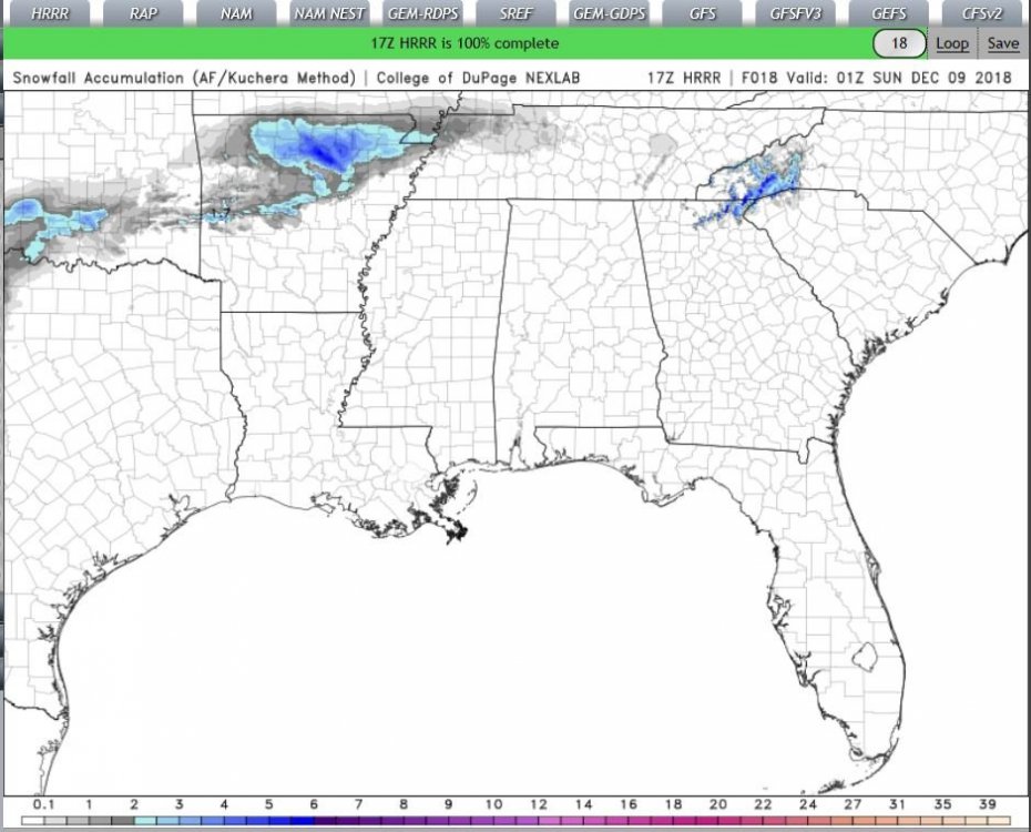
HRRR total snow accumulation is NOT good, 10-1 (Kuch) It just finished..
-
…..
-
out to 10
-
ok like this? trying to figure out the timing part
-
ok I'll give it a shot..
-
Grit & Mods skip panel 8 and wait a few frames?
-
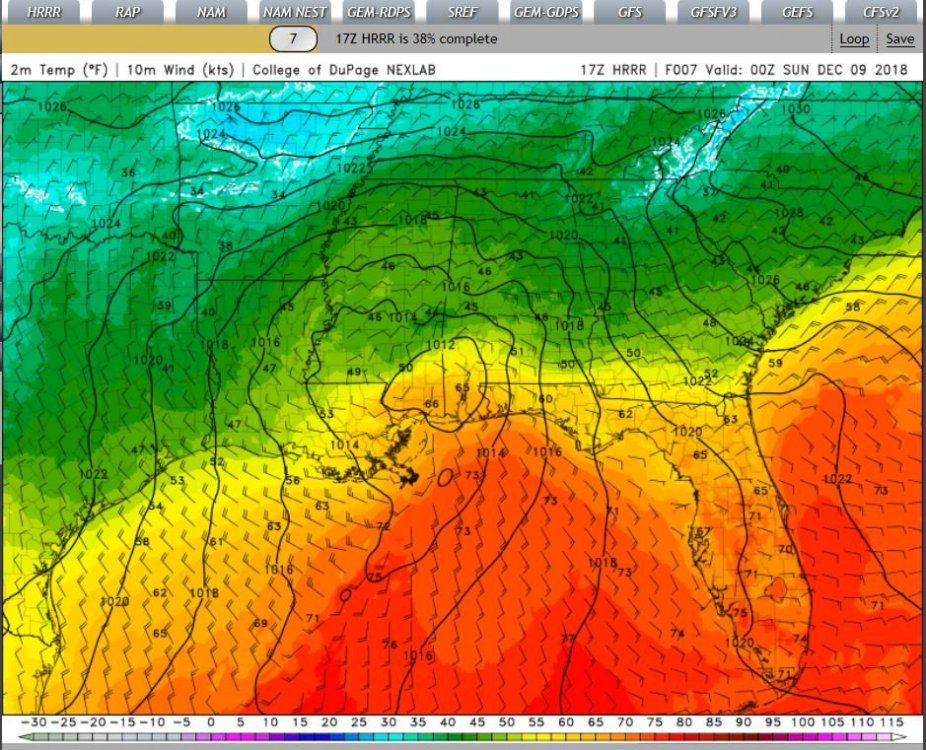
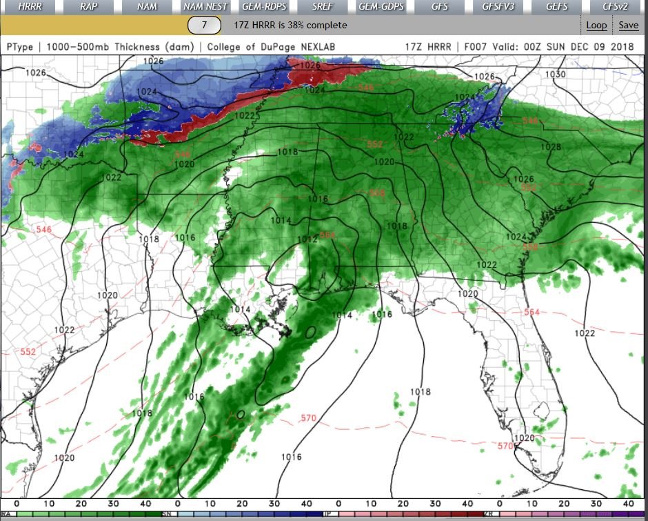
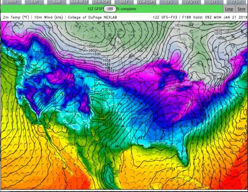
2M temps & Precip panels(next frame)