-
Posts
19,130 -
Joined
-
Last visited
Content Type
Profiles
Blogs
Forums
American Weather
Media Demo
Store
Gallery
Everything posted by Chicago Storm
-

March 2022 General Discussion
Chicago Storm replied to SchaumburgStormer's topic in Lakes/Ohio Valley
I wouldn’t go as far as to say that. Currently no real sign that the current PNA regime is going to change any time soon. -

March 2022 General Discussion
Chicago Storm replied to SchaumburgStormer's topic in Lakes/Ohio Valley
I’ve been too uninterested to make an updated post in the spring thread, but another pattern change has occurred. This pattern will be heavily influenced by a -NAO, leading to a mean trough axis across the N Plains, Midwest, Lakes and Northeast. -
Might be permanently, based on the heading it was taking.
- 355 replies
-
Going to put it out of its misery, after the coms issues it has had all day.
- 355 replies
-
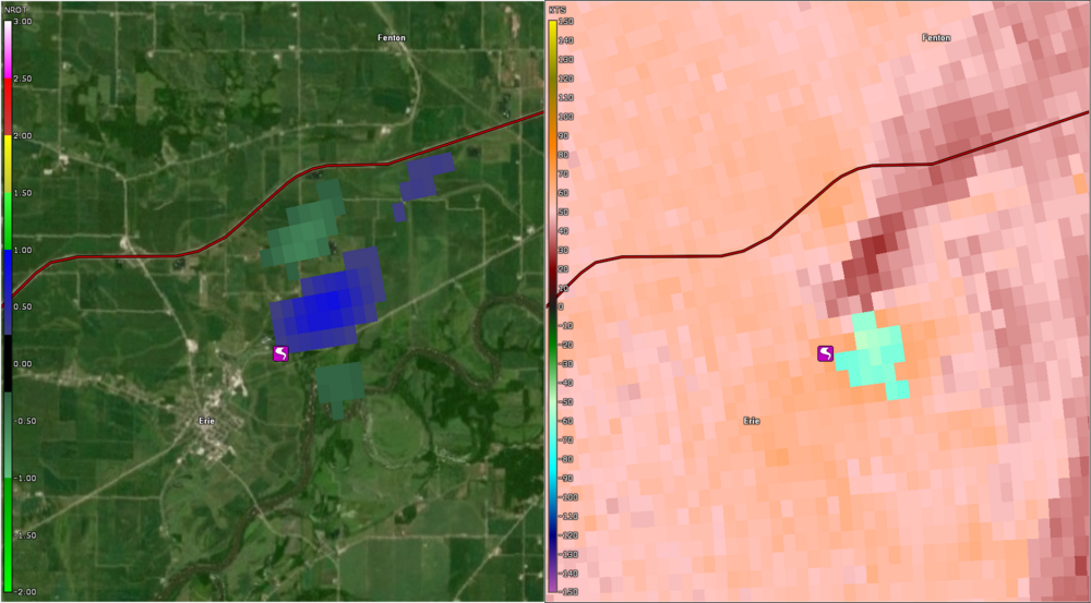
So, so bad. Appears to have been on the ground 6 minutes prior to a warning being issued, with a clear cut CC sig. Took until nearly 10 minutes later for a confirmed tag. That’s as bad as it gets.
- 355 replies
-
- 1
-

-
Shall shift this to the new seasonal thread… As a few have pointed out, next week looks fairly mild overall, with this being a product of another pattern change. This new pattern change is already underway, with the effects of it being felt in the sub-forum starting Sunday, then continuing through all of next week, and possibly through the following weekend as well (Perhaps beyond too?). This pattern will feature a +AO/+NAO/+EPO/neutral PNA. This will lead to an overall mild period temp wise, and still a somewhat active pattern. Snow chances will obviously be low, but not zero, especially in MN/WI/MI. Beyond this there are signs of another pattern adjustment occurring around next weekend (19-20th) or into the following week.
-
Final event snowfall totals of 0.9” ORD, 1.6” MDW and 0.2” RFD.
-

2022 Short/Medium Range Severe Weather Discussion
Chicago Storm replied to Chicago Storm's topic in Lakes/Ohio Valley
-

2022 Short/Medium Range Severe Weather Discussion
Chicago Storm replied to Chicago Storm's topic in Lakes/Ohio Valley
So the below did produce… -
Well in that case I'll go with another 1-3"-er into portions of the LOT CWA.
-
I thought you were talking more up here. .
-
Wave has trended towards shearing faster, in addition to everything being shifted south compared to what was shown days ago. Game, set, match. .
-
looking like a dampening duster around here. .
-

March 2022 General Discussion
Chicago Storm replied to SchaumburgStormer's topic in Lakes/Ohio Valley
we need to hook you up with a palm. . -

2022 Short/Medium Range Severe Weather Discussion
Chicago Storm replied to Chicago Storm's topic in Lakes/Ohio Valley
Something is still better than nothing. . -
Final event snowfall totals of 2.9” ORD, 1.1” MDW and 1.7” RFD. .
-

2022 Short/Medium Range Severe Weather Discussion
Chicago Storm replied to Chicago Storm's topic in Lakes/Ohio Valley
. -

2022 Short/Medium Range Severe Weather Discussion
Chicago Storm replied to Chicago Storm's topic in Lakes/Ohio Valley
PUBLIC INFORMATION STATEMENT NATIONAL WEATHER SERVICE DES MOINES IA 1203 PM CST MON MAR 7 2022 ..NWS DAMAGE SURVEY FOR 3/5/22 TORNADO EVENT - UPDATE #3 UPDATED STATEMENT TO INCLUDE DAMAGE SURVEY INFORMATION FROM THE TORNADO THAT TRACKED THROUGH MADISON, POLK, WARREN, AND JASPER COUNTIES. - THE EF-RATING HAS BEEN FINALIZED HOWEVER TRACK INFORMATION IS STILL CONSIDERED PRELIMINARY AS STORM SURVEY INFORMATION CONTINUES TO BE GATHERED. - THIS IS THE FIRST EF-4 TORNADO IN IOWA SINCE OCTOBER 4, 2013 IN WOODBURY AND CHEROKEE COUNTIES. - THIS IS THE SECOND LONGEST TORNADO PATHLENGTH IN IOWA SINCE 1980. THE LONGEST OCCURRED ON JUNE 7TH, 1984, WITH A PATHLENGTH OF 117 MILES ACROSS PORTIONS OF SOUTHERN IOWA. WINTERSET THROUGH NEWTON TORNADO RATING: EF-4 ESTIMATED PEAK WIND: 170 MPH PATH LENGTH /STATUTE/: 69.5 MILES PATH WIDTH /MAXIMUM/: 800 YARDS FATALITIES: 6 INJURIES: 5 START DATE: 3/5/2022 START TIME: 426 PM CST START LOCATION: 2.2 MILES NORTH OF MACKSBURG END DATE: 3/5/2022 END TIME: 601 PM CST END LOCATION: 3.1 MILES NORTHEAST OF NEWTON EF SCALE: THE ENHANCED FUJITA SCALE CLASSIFIES TORNADOES INTO THE FOLLOWING CATAGORIES. EF0...WEAK......65 TO 85 MPH EF1...WEAK......86 TO 110 MPH EF2...STRONG....111 TO 135 MPH EF3...STRONG....136 TO 165 MPH EF4...VIOLENT...166 TO 200 MPH EF5...VIOLENT...>200 MPH . -
in the real world, you did. we always have some level of concern for those here. .
-
accurately is by the tenth, not the hundredth. being a met one would think you’d know that. .
-
3.8”* .
-
Fairly narrow weenie band of 4-7” totals from north of KC, up to CID, and on into SW WI. .
-
i’m hoping this is sarcasm? .


