

Chicago Storm
-
Posts
18,587 -
Joined
-
Last visited
Content Type
Profiles
Blogs
Forums
American Weather
Media Demo
Store
Gallery
Everything posted by Chicago Storm
-

Winter 2023/24 Medium/Long Range Discussion
Chicago Storm replied to Chicago Storm's topic in Lakes/Ohio Valley
0z Euro says I see you, and I raise you… . -
Forgot to mention it at the time, but while downtown for NYE/NYD I noticed some trees were budding.
-
Winter 2023/24 Medium/Long Range Discussion
Chicago Storm replied to Chicago Storm's topic in Lakes/Ohio Valley
That’s as exotic as it gets… . -
Winter 2023/24 Medium/Long Range Discussion
Chicago Storm replied to Chicago Storm's topic in Lakes/Ohio Valley
lol 0z GFS late next week… . -
Winter 2023/24 Short Range Discussion
Chicago Storm replied to Chicago Storm's topic in Lakes/Ohio Valley
The snow for tonight sort of came back from the dead, as it was shown a few days ago, before vanishing. Looks like a 1-3" type of situation for tonight into Saturday morning across the area. -
It had a run similar to the 0z a day or so ago as well.
-
i don't know why they still waste their time with these. they're always so bad.
-
Winter 2023/24 Medium/Long Range Discussion
Chicago Storm replied to Chicago Storm's topic in Lakes/Ohio Valley
zzzzz . -
I'll probably become more interested come Saturday, but until then it's a bit too early. There are a few players to watch that will factor into the evolution of this one, including what exactly happens with the lead weekend storm system.
-
December 2023 General Discussion
Chicago Storm replied to michsnowfreak's topic in Lakes/Ohio Valley
December 2023 finished tied for the 4th warmest December on record in Chicago. Top 10 Warmest December's 1. 43.4 - 1877 2. 40.7 - 1889 3. 39.7 - 1923 4. 39.0 - 2023 4. 39.0 - 2015 6. 38.4 - 1931 7. 38.0 - 2021 8. 37.8 - 1881 9. 37.7 - 1918 10. 37.4 - 1971 -
Chicago Weather Records Tracking
Chicago Storm replied to Chicago Storm's topic in Lakes/Ohio Valley
December 2023 finished tied for the 4th warmest December on record. Top 10 Warmest December's 1. 43.4 - 1877 2. 40.7 - 1889 3. 39.7 - 1923 4. 39.0 - 2023 4. 39.0 - 2015 6. 38.4 - 1931 7. 38.0 - 2021 8. 37.8 - 1881 9. 37.7 - 1918 10. 37.4 - 1971 -
Winter 2023/24 Medium/Long Range Discussion
Chicago Storm replied to Chicago Storm's topic in Lakes/Ohio Valley
i’ll throw up a zzzzz to that. . -
Winter 2023/24 Medium/Long Range Discussion
Chicago Storm replied to Chicago Storm's topic in Lakes/Ohio Valley
Beat me to it, as I was going to type up something while I’m the train this afternoon heading downtown. This is the first evolution of the new pattern, which some may even consider a new pattern in itself. Winter lovers, your time has come. I’ll be boxing up the palm tree this week. One tidbit of note is that we will be falling short of SSWE “criteria”. But it doesn’t even matter in the end, given the substantial amount of warming and disruption there currently is and will continue to be for a while. As you mention, the high latitude blocking is being shown consistently (And at times fairly significant looking), and the effects of the warming appear as though they will be real. . -
December 2023 General Discussion
Chicago Storm replied to michsnowfreak's topic in Lakes/Ohio Valley
0.9” of snow at ORD thus far today. That 0.9” plus the 0.3” on the month going into today brings the monthly total to 1.2”, which knocks this December out of the top 10 least snowy. . -
December 2023 General Discussion
Chicago Storm replied to michsnowfreak's topic in Lakes/Ohio Valley
Solid meso-low tonight on the western shore of Lake Michigan, between Manitowoc and Algoma, WI. . -
Winter '23-'24 Piss and Moan/Banter Thread
Chicago Storm replied to IWXwx's topic in Lakes/Ohio Valley
the useless cfs, posted with love for our wisconsin brethren… . -
Winter 2023/24 Short Range Discussion
Chicago Storm replied to Chicago Storm's topic in Lakes/Ohio Valley
S WI, E IA and NW IL will end end up the winners with this second round. Should end up with advisory level snowfall accumulations in that corridor. . -
Winter 2023/24 Short Range Discussion
Chicago Storm replied to Chicago Storm's topic in Lakes/Ohio Valley
Looks like a corridor of 1-3” occurred across Southwestern and Southern Illinois. . -
Winter 2023/24 Medium/Long Range Discussion
Chicago Storm replied to Chicago Storm's topic in Lakes/Ohio Valley
might be time you take a break. . -
Winter 2023/24 Medium/Long Range Discussion
Chicago Storm replied to Chicago Storm's topic in Lakes/Ohio Valley
The pattern change is already occurring, with additional evolution likely with time. -
Winter 2023/24 Short Range Discussion
Chicago Storm replied to Chicago Storm's topic in Lakes/Ohio Valley
Someone around the MO/IL border area (Near STL) is going to end up with advisory level snow accumulation when all is said and done with this first wave. -
Winter 2023/24 Short Range Discussion
Chicago Storm replied to Chicago Storm's topic in Lakes/Ohio Valley
The metro is out of the game most likely. The occluding-stacked low is wrapping in a tongue of mild temps, enhanced by the mild lake. -
Winter 2023/24 Medium/Long Range Discussion
Chicago Storm replied to Chicago Storm's topic in Lakes/Ohio Valley
Some of you need to lay off of the trash sources.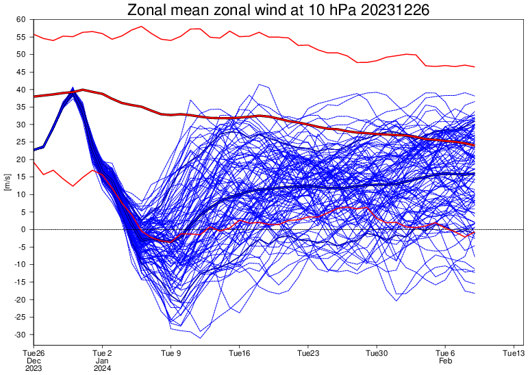
-
Winter 2023/24 Short Range Discussion
Chicago Storm replied to Chicago Storm's topic in Lakes/Ohio Valley
Sneaky potential across portions of IA/IL/MO/WI the next few days… A big gyre-y mess of a nearly stacked low moving through the region, with several vorts/disturbances spiraling around it. Should see a few distinct time periods with rain/snow potential. First across MO/IL Wednesday morning through Thursday morning, and then across WI/IL/IA Thursday morning through Friday morning. Both periods look likely to feature minor snowfall accumulation for some areas. . -
Winter 2023/24 Medium/Long Range Discussion
Chicago Storm replied to Chicago Storm's topic in Lakes/Ohio Valley
Solid stuff. I forgot to mention anything regarding the mountain torque evolution, so it's good you had a big mention of that.


