

Chicago Storm
-
Posts
18,699 -
Joined
-
Last visited
Content Type
Profiles
Blogs
Forums
American Weather
Media Demo
Store
Gallery
Everything posted by Chicago Storm
-
The trend on 6z guidance, and now continued on 12z guidance, is for the northern stream to be further west and dig more...which in turn allows for more phasing, and a better/further north storm system.
-
He let the success get to him, and now he’s on the downward spiral. .
-
The few times we've had a northern stream piece in play this season would suggest that is a believable issue.
-
Finished with 1.0” at ORD and 1.1” here. .
-
That is my biggest concern as well, and is what most guidance shows, outside of the Euro...which is still not a perfect outcome. .
-
2.0” call. .
-
This period actually features the most favorable pattern for a good storm we’ve had pretty much all season. -EPO/-PNA in play, but the fact we will dealing with northern and southern stream could still mess things up. Would be unfortunate if the best pattern of the season only lead to a swath of 3-6” snowfall at maximum. .
-
Have been getting solid periods of SN, probably borderline +SN at times. Solid DAB so far. .
-
You were never really in the game. .
-
It’s just organizing now, at about the time expected. Patience. .
-
Yet another short term model guidance fail out west right now... All 0z guidance has 6-12" for the FSD metro on north. When in reality the band is stalling much further north, and the FSD area (and two counties north) will likely only end up with 1-3". HRRR is handling the situation much better.
-
I was gonna start this tomorrow. Threat is dead now. .
-
NAM with continued trends of the season.
-

Winter 2019-20 Medium/Long Range Discussion
Chicago Storm replied to Hoosier's topic in Lakes/Ohio Valley
Around average could be fairly easy to attain, given we’ve already had a few light events and will probably rack up a few more...and average is Like sustained winter potential being DOA, cold is probably forgone too...outside of one or two very brief shots possible in the next 10 days or so, due the the brief -EPO push. Other than that, it’ll likely stay around or above normal temp wise. . -
Winter 2019-20 Medium/Long Range Discussion
Chicago Storm replied to Hoosier's topic in Lakes/Ohio Valley
See ya next season...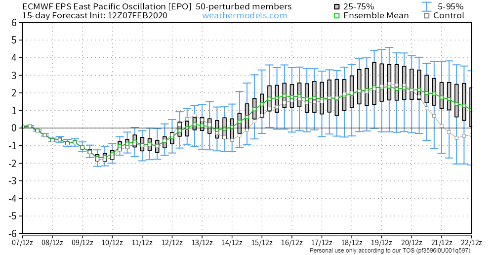
-
February 4th-7th Winter Storm Potential
Chicago Storm replied to Thundersnow12's topic in Lakes/Ohio Valley
ORD finished with 2.6” Added a few tenths here, for a final of 2.2” . -
February 4th-7th Winter Storm Potential
Chicago Storm replied to Thundersnow12's topic in Lakes/Ohio Valley
Pure LE finally ramping up now. You should be good for more snow for a while. -
February 4th-7th Winter Storm Potential
Chicago Storm replied to Thundersnow12's topic in Lakes/Ohio Valley
Someone is snippy after finally getting their first grass-covering snowfall of the season. Probably differing ratios, per usual. Started off as sleet/snow pellets here for a while originally, which didn't help. -
February 4th-7th Winter Storm Potential
Chicago Storm replied to Thundersnow12's topic in Lakes/Ohio Valley
LOT had 4.1" off 0.22". So high there as well. -
February 4th-7th Winter Storm Potential
Chicago Storm replied to Thundersnow12's topic in Lakes/Ohio Valley
ORD is up to 2.0" thus far. Overall ratio of 18:1 as well, given 0.12" liquid equiv. Highest ratios we've seen in eons. Already a top 5 event on the season. -
First and final call 1.0"
-
No point in discussing, unless you're in MN/WI/MI.
-
February 4th-7th Winter Storm Potential
Chicago Storm replied to Thundersnow12's topic in Lakes/Ohio Valley
p sad. Per TORD velo, LES band extends from UGN to Schaumburg to Lisle currently. Too bad it's weak. -
February 4th-7th Winter Storm Potential
Chicago Storm replied to Thundersnow12's topic in Lakes/Ohio Valley
Down to flurries here, and unlikely to see much more. 2.0” will be the final total. . -
February 4th-7th Winter Storm Potential
Chicago Storm replied to Thundersnow12's topic in Lakes/Ohio Valley
1.4” ORD thus far. .


