

Chicago Storm
-
Posts
19,240 -
Joined
-
Last visited
Content Type
Profiles
Blogs
Forums
American Weather
Media Demo
Store
Gallery
Everything posted by Chicago Storm
-
Yea, it definitely was wetter in the main axis.
-
Last winter.
-
Whole axis shifted SE.
-
Indeed it did... SE bump with both the overrunning event and the main storm system.
-
i had a good thread making winter several years ago, forgot which.
-
a post with the full run of the RAP sums up the state of the local threat.
-
18z RGEM held with overrunning, and then is a bump SE with the main storm.
-
Overrunning orientation started off differently early, but after that full on SE bump, with both the overrunning event and the main storm system.
-
you've been off this season.
-
Main storm system bumped south.
-
12z Euro will change the overrunning orientation once again. Not surprising though, as very minor changes has an impact on positioning.
-
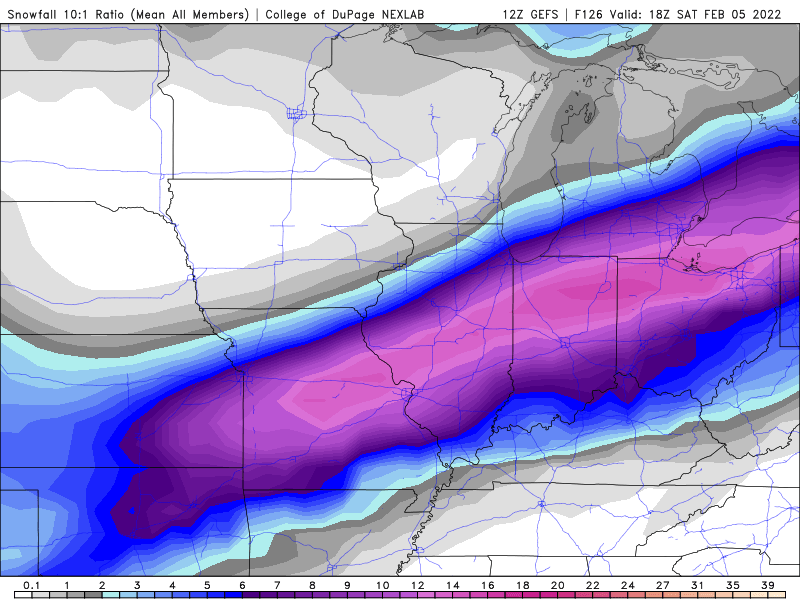
12z GEFS mean
-
It's pretty much the same back and worth we see with most potential storm systems/event these days.
-
A bump north with the main storm system as well.
-
12z GEM bumped north with he overrunning event. Not surprising though, given the RGEM bumped north as well.
-
12z GFS going to bump south with the main storm system. Noticeable changes in Canada/Plains/West.
-
12z GFS will have a different orientation to the overrunning event... North some areas, and south in others.
-
@purduewx80made a quick mention a day or so ago. But yes, it is definitely something that will factor in. Lack of discussion likely revolves around the big synoptic potential being more of the eye candy.
-
Regarding the north shift with the 12z RGEM... The overrunning event was well north, and the main storm system was also north, not surprisingly given the snowfall map.
-
There most definitely will be lake enhancement/lake effect.
-
Can confirm orientation change. .
-
12z NAM will bump south with the main storm. Sizable changes across the Western US with the main trough. .
-
12z NAM will either bump south with the overrunning event or have a slightly different orientation. .
-
under. .
-
that is a stupidly dumb post by whoever wrote it. .


