psv88
-
Posts
17,311 -
Joined
-
Last visited
Content Type
Profiles
Blogs
Forums
American Weather
Media Demo
Store
Gallery
Everything posted by psv88
-
No. Would have to be like -20
-
No, because the cold air is here with snow on the ground...acts like a warm blanket for them
-
It's officially over. I think the thread can be closed now.
-
Harbors will be frozen and walkable by 2/7.
-
FOK down to -5 this morning. Man cold
-
5.8 this morning. Colder than forecast and certainly than I expected
-
Damn. This storm is dead. Cold and dry it is
-
-
What’s the status? I can’t read back. Good trends?
-
Verbatim Euro is 2" for Suffolk County on East.
-
Euro still shows some light snows for long island and SNE, but yea shes slipping away.
-
I mean this could be a major storm for eastern Long Island and SNE
-
She’s alive! Oh Canada!
-
12 this morning. ill be in Florida in mid February…can’t come soon enough
-
Haha yup. its definitely coming. I’ll go out on a limb. Islip sees 6”+ from this storm.
-
Normal for Ukie. im riding the GFS here
-
I mean 12”+ for Long Island is not out to sea but sure
-
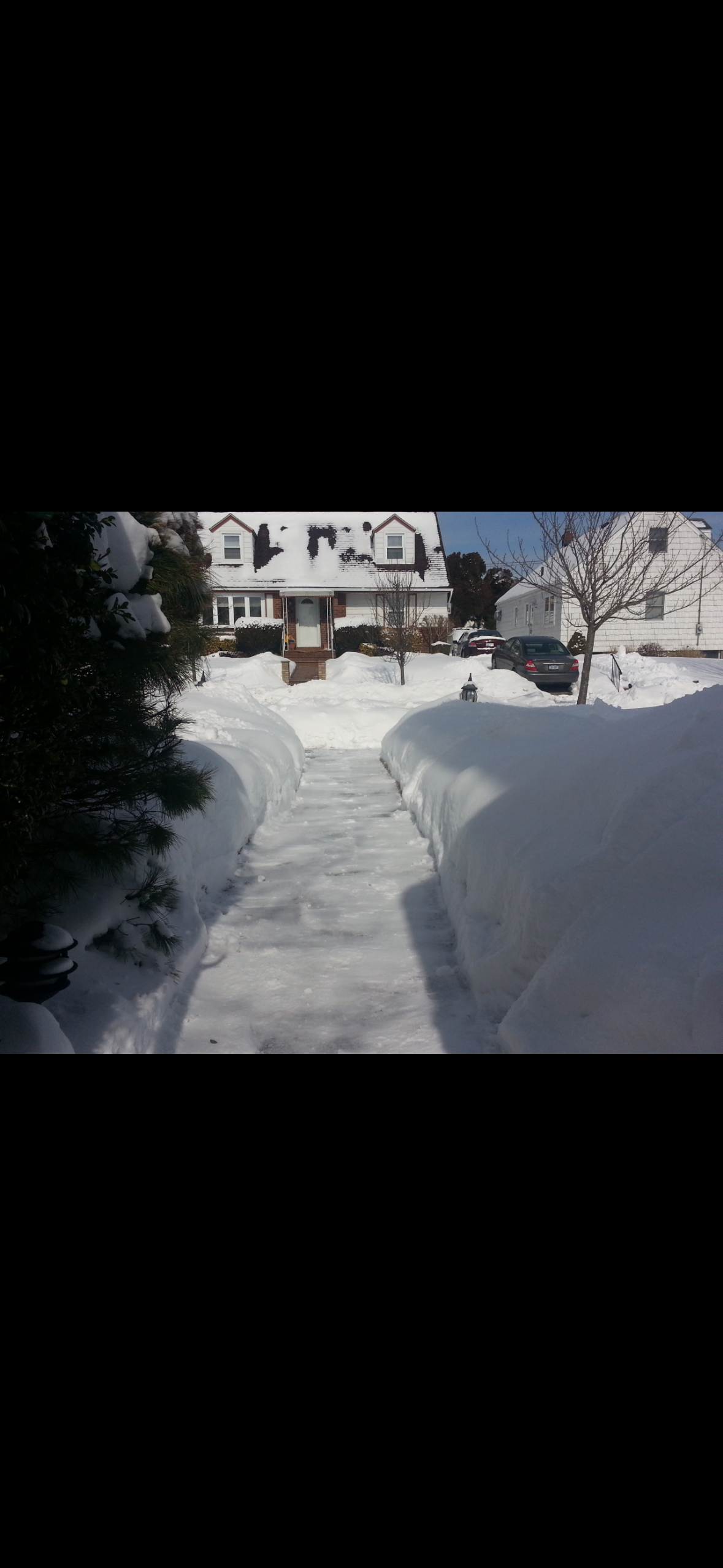
This is February 2014 from when I lived in northern Nassau. Like 7 storms worth of snow. Just buried.

-
People forget what it was like 2014-2015…we had feet of snow on the ground for a month. Looked like the arctic with no real melts. 2013-2014 were also frigid. Those years were something special for cold/snow
-
Well done. very common for people to low ball Islips numbers. Coastal enhancement is real out there and it’s further north than people realize
-
Most people saw 12-18"...
-
Too early to write this one off...give it until Thursday. If the EPS dont show any hits, we move on
-
Yea I already have roof damming. May have to call someone soon to take care of it
-
What? Your roof should be able to hold at least 3-4 feet of snow. You’ll be fine
-
Huntington Harbor will freeze easily. Same with Northport harbor. There’s a chance Northport bay freezes as well. I’ve never seen Huntington bay frozen and I’m not sure we get cold enough.