hlcater
-
Posts
2,670 -
Joined
-
Last visited
Content Type
Profiles
Blogs
Forums
American Weather
Media Demo
Store
Gallery
Everything posted by hlcater
-

Winter 2022/23 Medium/Long Range Discussion
hlcater replied to Chicago Storm's topic in Lakes/Ohio Valley
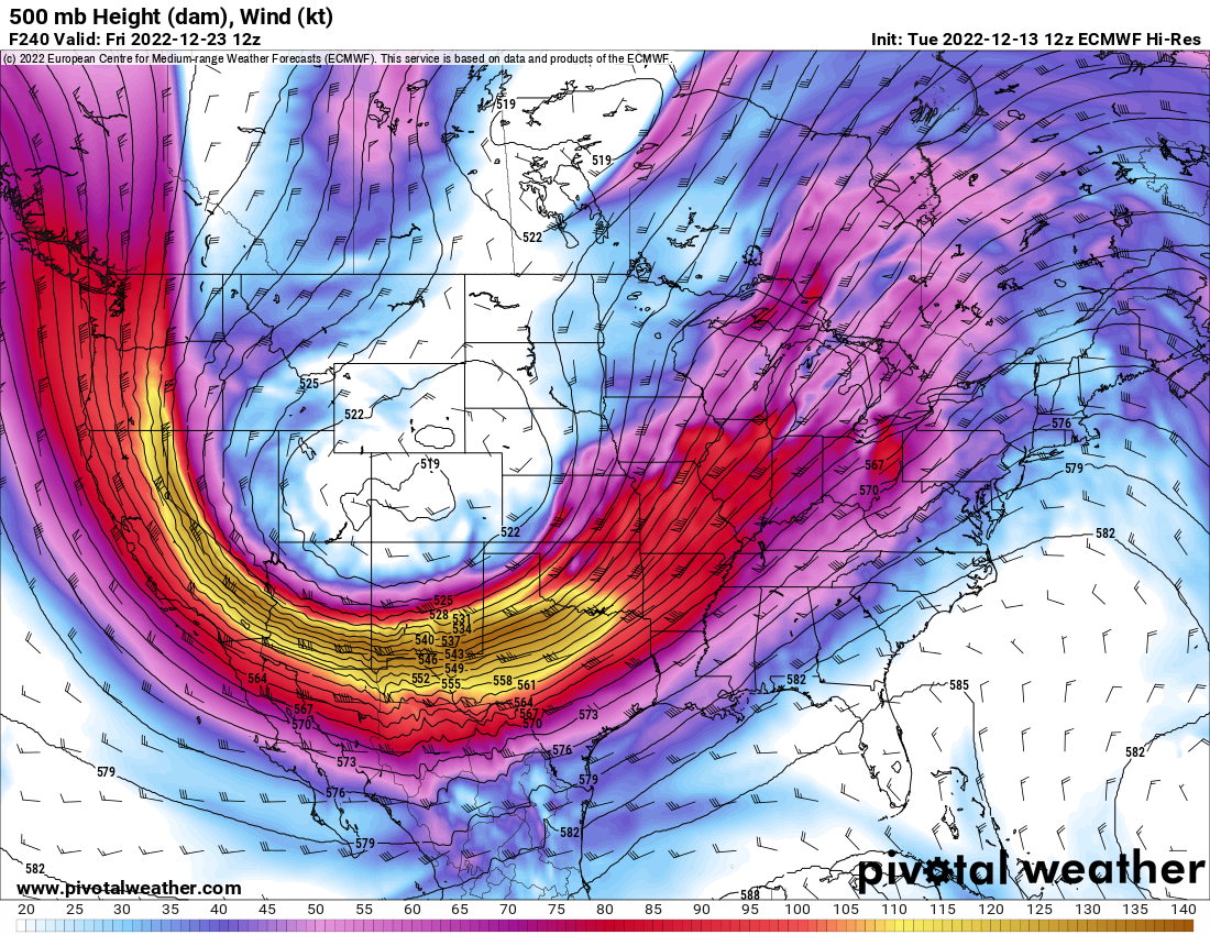
Yea the euro was about to go ultra giga at 240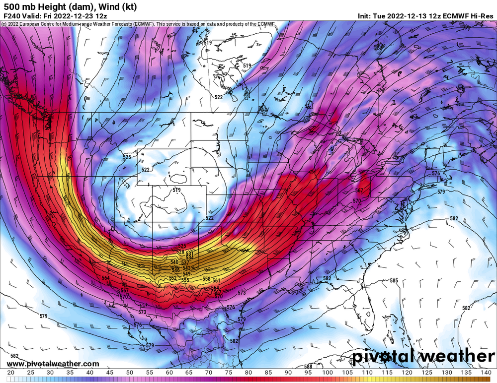
-
What is your favorite weather day of all-time?
hlcater replied to Hoosier's topic in Lakes/Ohio Valley
8/10/20 -
There were a few flakes mixed in as well. I estimated it to be something like 70/30.
-
First flakes of the season here
-
Finally kooch map szn
-
Nah we’ll get more when we’re clocking 4”/hr in the death band
-
Fall colors are really vivid this year. Paint Creek in NE IA

-
Julia | 85 mph 982 mb peak | EPAC Crossover #2
hlcater replied to Iceresistance's topic in Tropical Headquarters
GEFS likes this one as well -
Incredible watching an obviously sheared cyclone intensify anyways. Especially one that just finished an EWRC in the face of that shear. I really wasn’t 100% certain it’d be able to stabilize the core after the EWRC, let alone intensify at a fairly rapid pace.
-
FL winds exceeding 140kts in the NE quad. SFMRs of 110kts. Pressures ~942. Probably see an upgrade to cat 4 here on the 5am update.
-
The fact that the deepest convection is actually on the upshear side of the cyclone likely heralds intensification/resilience in the face of shear at least during the next 6-12 hours.
-
That and there’s no one there to report waterspouts
-
Correct. 15kts by 15z tomorrow and probably 20-25kts by landfall.
-
Ian is bombing out right now and 115mph is probably a tad conservative. 4-5 hours over flat western Cuba is likely to slow or halt intensification, but probably not enough to hinder it much by tomorrow afternoon. EDIT: landfall declared, 110kts/952mb.
-
This is not supported on the NOAA9 flight. Could be the storm shaking off dry air from earlier today.
-
recon observations are generally consistent with a category 2 hurricane. ~966mb, 80-85kt SFMR, ~85-90kt FL wind. The data is full of holes, hence the ranges.
-
That pocket is moving with the storm. At least it will for awhile
-
The core is cleaner on cayman’s radar and MW passes. Seems justified to me. But we shall see.
-
New flight suggests only modest pressure falls over the past few hours. Though, notably, the storm's organizational structure has improved, with 50kt winds now showing up immediately SE of the center in what is likely a nascent inner core.
-
The fact that people still take ldub's bait is more amusing than ldub himself
-
The synoptic configuration modeled in the 48 hours prior to landfall is definitely something more reminiscent of storms in the early 2000s and not recent years. That big longwave trough is gonna deposit a massive dry airmass in its wake that will likely impact the storm greatly.
-
50ft waves will break offshore and be much less impressive. The surge is almost certain to inundate a good portion of the island though
-
2022 Short/Medium Range Severe Weather Discussion
hlcater replied to Chicago Storm's topic in Lakes/Ohio Valley
setup overall is very supportive of supercells and large hail with 0-6km shear potentially exceeding 60kts and MLLRs exceeding 7.5. Boundary is somewhat diffuse and not likely to be overforced. Not sold on tornadoes but will likely be out there. -
What does the BSR say?