hlcater
-
Posts
2,670 -
Joined
-
Last visited
Content Type
Profiles
Blogs
Forums
American Weather
Media Demo
Store
Gallery
Everything posted by hlcater
-

2023 Short/Medium Range Severe Weather Discussion
hlcater replied to Chicago Storm's topic in Lakes/Ohio Valley
Hodographs are rather small and lacking changes in speed/direction above 2km or so. But of course these are were pulled off globals and subject to change once higher res guidance gets in range. -
Money money
-
Someone is gonna pay for this. Exceptional thermos, adequate shear and a favorably oriented boundary suggesting an outside shot at a higher end MCS later today. Anecdotally, giant CAPE combined with very steep LLLRs (8.5-9.0) usually seems to correlate with strong downdraft potential. Additionally, with hodographs favorable for supercell development and LRs >7.5 throughout the column, would expect a large hail risk in the first 1-2 hours before upscale growth takes hold. One caveat could be the complete absence of a LLJ casting doubt in MCS maintenance potential, but that's something that's always confused me a little bit. There's no doubt a strong and coherent LLJ helps MCS maintenance/intensity, but how badly does an absent LLJ hurt? There are some very notable MCS cases that had zero LLJ to speak of.
-
Really liking how tonight's precip odds have.... quite literally.... evaporated.
-
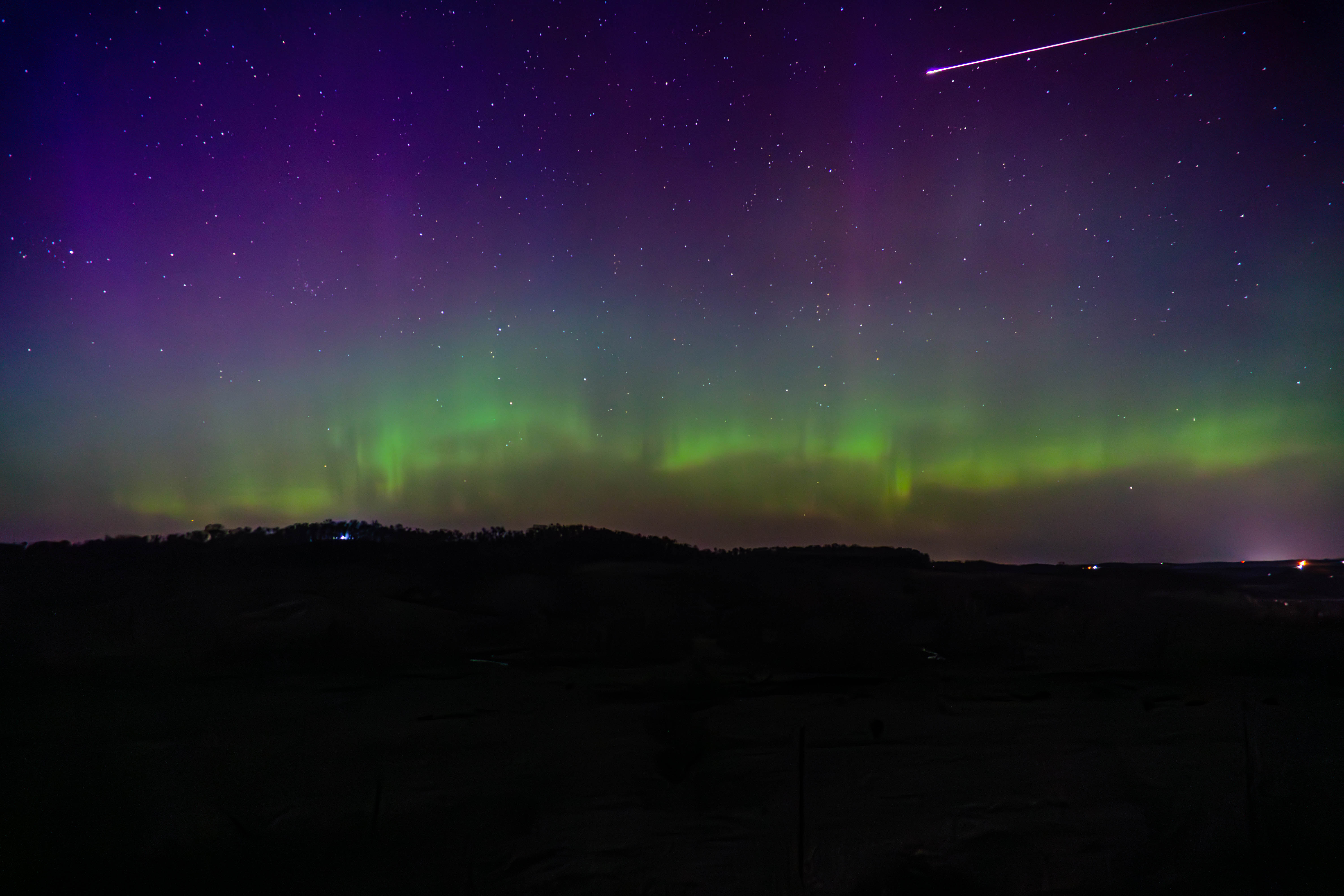
Late to the party, but here's what I came away with from Sunday's aurora. After seeing them for the first time somewhat haphazardly on 3/23, I put some more thought into it this time.

- 512 replies
-
- 22
-

-

-
Spring 2023 Medium/Long Range Discussion
hlcater replied to Chicago Storm's topic in Lakes/Ohio Valley
The biggest issue with 4/19 and 4/20 is wave timing. The primary wave is a bit too far west on 4/19, which would still be workable in W IA, but most models have a shortwave traverse the area the morning of 4/19 which veers the LLJ off to the east with it. That leaves us with 4/20 which has the primary wave ejecting, but probably a bit too quickly to maximize the risk. The Euro's solution is almost good, with primed soundings at 18z across SE IA and W IL, but the wind fields again veer out later in the day and a strongly forced cold front surges east as the wave closes off aloft, doesn't exactly scream visible tornadoes to me. Could see either one of these trending into a somewhat decent local day, but it's difficult to say which one is the better of the two at the moment. -
Dude be careful out there. Losing situational awareness can total your car or worse. Other chasers were also hit by tornadoes from this storm and fared far worse than you did. Despite what some may say, 0 metering is not worth it in most cases. Oftentimes the 100-250 meter shot is better anyways
-
Went out and saw quite literally nothing. Screwed by the Ft. Madison bridge crossing and not willing to core the baseball sized hail necessary to get ahead of the storm, just gave up and went home.
-
mix mix mix
-
So the HRRR has this massive mid level cloud deck yet still manages to mix out into the upper 50s. Nice model!
-
Too lazy to repost the pics so enjoy the tweet
-
The one thing making me feel better about that is that it was forecast.
-
Concerned that the trough is too slow to eject and the prospect that the EML does not fully erode during daylight.
-
It’s not hard when the storm is easily S tier and probably the best Iowa supercell since 4/9/11. Pella comes close but as someone who was at both, this beat Pella. Will obviously need to wait for the rest of the year but I expect Keota in particular to be a serious TOTY contender.
-
Also this video is totally nuts
-
A bit late, but I worked at 11pm last night and again at 3pm today so my whole "post chase" process is a bit delayed. Don't have much to add off of what has already been posted but I started the day in Mt. Pleasant and planned to just kinda wait and play the field with the developing supercells. The wave in the morning was still a bit stable and while they were supercellular aloft, they were not surface based so I did not follow them east. I drove to fairfield to wait for the storms to the south and west to mature and ultimately chose the storm that would track near Ottumwa as it was obvious on radar/vis that it was the dominant storm. Perhaps due to some Winterset PTSD, I chose to stay miles and miles ahead of the storm and instead of close intercepts, planned my routes with keeping up in mind. Still, these were some of the most visually impressive tornadoes I have seen. Especially the Keota EF4. Hendrick tornado while it was in full swing from miles away. Handoff near Keota. The Keota tornado about as it was doing EF4 damage. This may be my favorite shot I've ever taken. Again as it was approaching Wellman. Big dusty wedge for most of its life. For those familiar with 2/28/17, think of it as Washburn on steroids.
-
Spring 2023 Medium/Long Range Discussion
hlcater replied to Chicago Storm's topic in Lakes/Ohio Valley
I'll take a blend of April 1974 and April 1965 -
A few days late but here are some phone shots of the northern lights last thursday. First time seeing them so I wasn't really prepared.
-
We are gonna limp our way to seasonal average on these cement events. Measured 4.0” today. Though snow residence time has to be well below normal as every event this winter has had marginal temps during and afterward, so nothing hangs around more than a few days
-
Eurythmics szn
-
Euro is kind of an outlier even among the ensembles. The trend in Texas over the past few days has been to unanimously slow this thing down which should bode for a more NWly track but we’ll see.
-
This is likely to be the best storm of the season here despite the 3-4 hr dry period. The defo zone quickly made up for that and with 1-2 hours of snow left, will likely finish with 6-7". About in line with the model consensus. Nice to break the trend of events falling short of expectations this winter.
-
On pace to see 6”. Pleasantly surprised
-
Think my call is gonna be 3". Been riding the low end of guidance this winter, with the best forcing looking to translate just south of MBY seeing no reason to do differently in this instance.
-
At this point let's get a 6" storm or move on to spring. Sick of these 1" snows.