hlcater
-
Posts
2,686 -
Joined
-
Last visited
Content Type
Profiles
Blogs
Forums
American Weather
Media Demo
Store
Gallery
Everything posted by hlcater
-
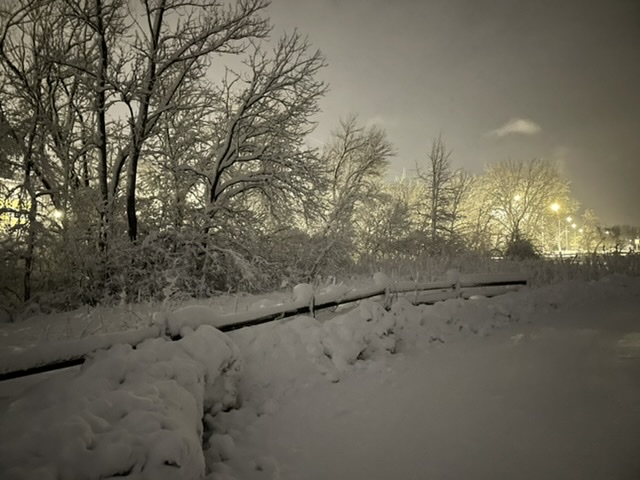
Eyeballing ~5" outside in IC. With all the blowing though, that is kind of a crapshoot. Radar looks good for the first time this entire storm, so I am optimistic that we can still reach the 8-10" advertised.
-
The 13.2" report in Hiawatha was mine and is from IC, it's misplaced on the map. I assume because the address associated with my spotter ID is a Hiawatha address. So at least that one is bogus.
-
idk why those are all so blurry but you get the idea
- 826 replies
-
- 12
-

-
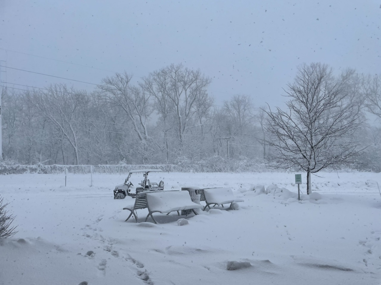
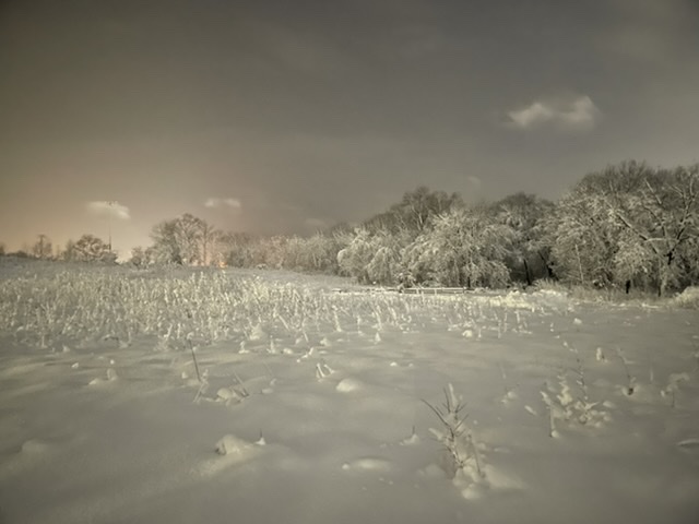
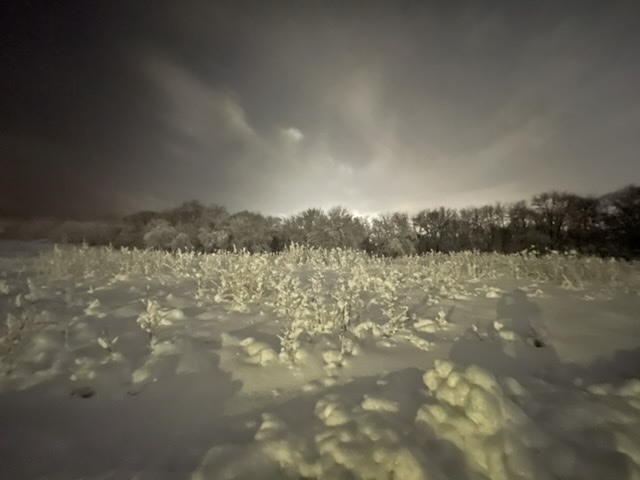
Crazy how different the scene is over a relatively short distance. I will end this storm with 13.2" in IC in what will go down as a top 3 storm for me. Rarely do you get the intensity/duration of snow that we did with this storm, and it happened during the day to boot. Started off this morning with giant aggregates and very sloppy ratios (prob 5-6:1) and gradually transitioned towards smaller, drier flakes. The stuff falling in this final band looks and feels north of 10:1.
-
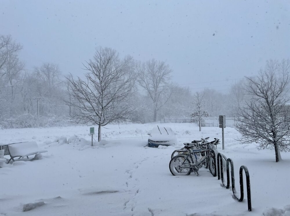
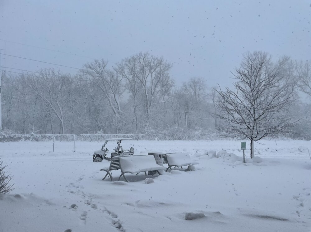
Probably ~9” out there right now and still coming down. Conditions have really deteriorated over the past few hours with vis routinely less than 1/4 mile
- 826 replies
-
- 11
-
-
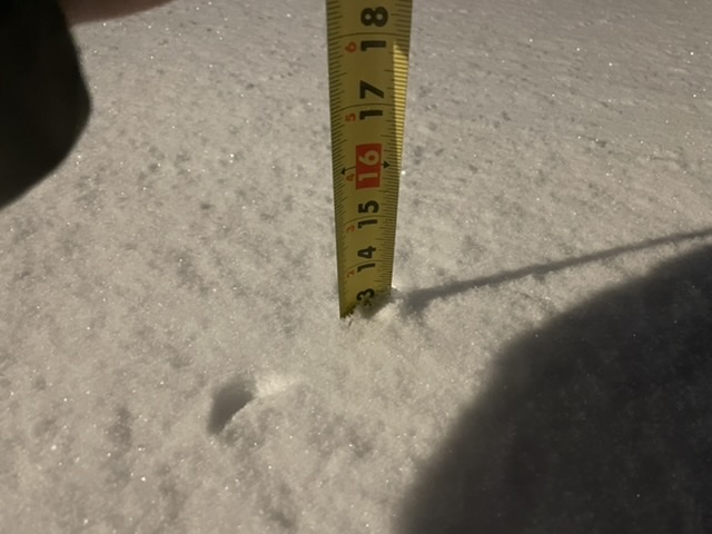
Closing on 8" in IC.
-
No one likes the GFS anyways
-
2.7" down so far. HRRR is extremely bullish on the defo band tomorrow. If it's right, 10-12 could be achievable. 6" is a lock.
-
Conditions/impacts wise I bet it stacks up well with 12/23/22. 4-6" of snow and 45-50mph gusts seems like a reasonable first guess here. We're also in the jackpot zone for this storm so we don't really get to complain lol
-
???????
-
Was expecting a rug pull this morning and am not seeing one. Just about as locked in for 6-10" as you can be. Let's roll
-

Winter 2023/24 Medium/Long Range Discussion
hlcater replied to Chicago Storm's topic in Lakes/Ohio Valley
Now this is quite the ensemble mean. More than half the members in the low 970s/960s. EDIT: Think that's the first time I've seen such a deep mean at this range. If there was any doubt that there was big league potential with this one -
Winter 2023/24 Medium/Long Range Discussion
hlcater replied to Chicago Storm's topic in Lakes/Ohio Valley
Also has a really bizarre (relative to other guidance especially) evolution of the weekend system. Super far NW and a much more anemic looking cold sector. Still gets into the mid 970s however. -
EPS mean
-
-
Dw guys it’s coming home. Chicago folks need to get their barometers ready and put eurythmics on blast
-
Winter 2023/24 Medium/Long Range Discussion
hlcater replied to Chicago Storm's topic in Lakes/Ohio Valley
Looking at the 12z runs
-
Winter 2023/24 Medium/Long Range Discussion
hlcater replied to Chicago Storm's topic in Lakes/Ohio Valley
This is one of the worst 384hr GEFS means I can recall... Quite literally zero winners on here. -
When weak/strung out is an option, its usually a pretty safe bet to go with that
-
Winter 2023/24 Medium/Long Range Discussion
hlcater replied to Chicago Storm's topic in Lakes/Ohio Valley
Euro continues to be slower and much more amplified. Bomb in the lakes by this weekend. -
more like WAP
-
Don't know whether you can call that signal after D10 a -EPO
-
This was certainly unexpected
-
Gut saying WAD this year. We'll see.
-
Gonna go out and say it snows at least one (1) time for most members of the sub.