hlcater
-
Posts
2,670 -
Joined
-
Last visited
Content Type
Profiles
Blogs
Forums
American Weather
Media Demo
Store
Gallery
Everything posted by hlcater
-
The thing with this season is that the overall pattern, long range climatological guidance, and analog set(I'm using 2011, 2018, 2009, 2008, 1976 and 1974) are all suggestive that this is a severe season that peaks in March and April before simmering down into May and June with expanding drought in the plains and potentially western sub by July and August (especially if we start heading towards a 2nd year nina). Obviously not a surefire thing, but taking what is shown at face value, I'm not about to count on May and June to roar in well above average. Who knows, I might be eating boots by then.
-
I hear flights to Barrow are due to resume in a few weeks as summer comes around.
-
Today's snowfall of 2.7" bumped me across the 50" line for the season!
-
0.8" measured in Iowa City!
-
The tornado ongoing near Shallotte NC isnt weak.
-
pixie dustin
-
The northern edge of the snow shield is creeping up this way. Ready to be demolished.
-
Expecting about an inch in Iowa City. Gonna be an all timer for the lower OV though.
-
better post it before it goes away
-

Feb 12-14th V-Day Weekend Potential Stuff
hlcater replied to Chicago Storm's topic in Lakes/Ohio Valley
-
Will talk away with about 2" here. Still coming down at a moderate clip but not for much longer
-
Photogenic stuff coming your way. Massive flakes.
-
This may be a flooding problem at some point down the road. Especially if there's a hard cutter or otherwise rapid warm up.
-
KCID is down to -18 right now. Impressive stuff.
-
Some sweet sundogs and light pillars this evening from a friend in waterloo.
-
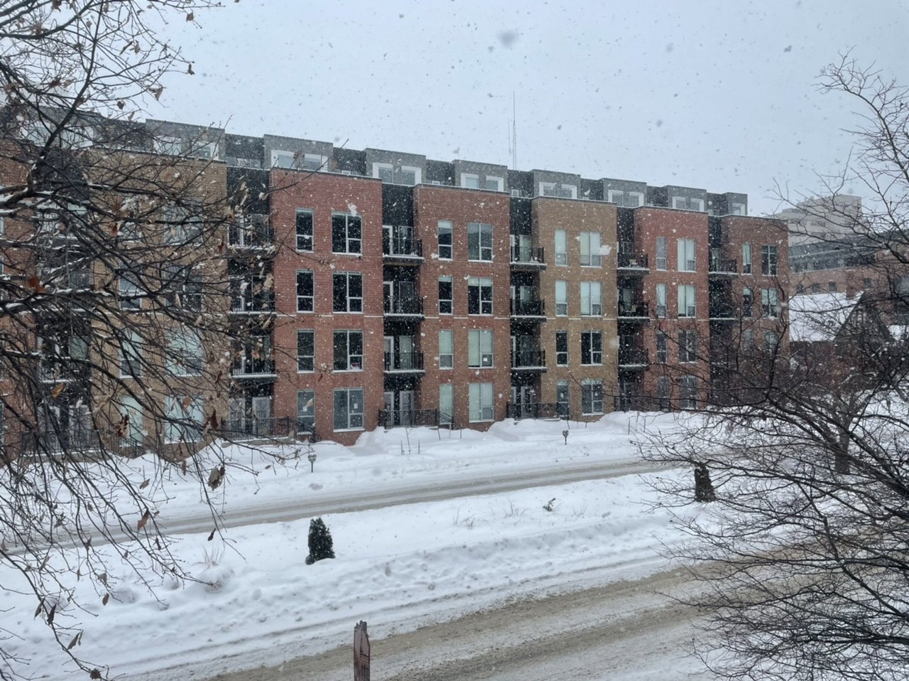
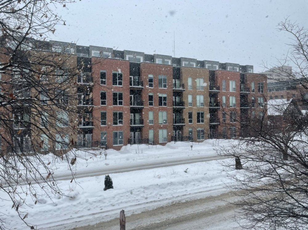
Very picturesque snowglobe event at the DVN office right now! Look at those huge half dollar sized flakes gently falling with no wind.
-
Blizzard criteria officially met at CID.
-
This was their story immediately before that, as of 10pm last night.
-
This is quite a storm here. Especially seeing as we probably only have 4-5” of new snow once this is all said and done. Obs/webcams/road conditions suggest blizzard criteria will easily be met across northwestern portions of DVN’s CWA. That, combined with their forecast of only 1-2” for IC and 2-3” for CR, they really dropped the ball with this one. As much as I hate to say it.
-
Hands? Frozen. Coat? Soaked. Jebwalk? Complete.
- 650 replies
-
- 11
-

-
Yea models are generally underdoing WAA. Probably of little practical significance other than perhaps a slight delay to the changeover to snow.
-
Squeeze play? Dont tell wallstreetbets
-
Yea think this one will probably be a higher confidence scenario track wise. With the block over the pole, there's a limit to how far northward this can reasonably track, and the flexing SE ridge should limit the ability for this to end up super suppressed. In fact, the more the ridge presses and tightens the baroclinic zone, the greater the likelihood of a more organized system imo. That polar airmass will be entrenched at the surface and tough to move, which may lend itself to an ice scenario for someone, especially if we get a more well defined system with a moderate/strong WAA regime out in front.
-
What sacrifices do I need to make to lock this in? We'd be looking at a whopping 40" snow depth considering there's already 15-18" on the ground in CR....
-
Yea can we consider merging some of the next week threads into one "clipper train" thread? @Hoosier?